Forest Bathe Under the Redwoods
Forest Bathing Among Redwoods at Sanborn County Park

Giant Douglas firs and a peaceful madrone- and tanoak-studded forest make the hiking at Sanborn County Park sublime, but there’s an added majesty here thanks to the Todd Creek Redwoods Grove. This 5.6-mile forest view loop takes you up into airy, forested ravines to visit this beautiful redwood grove.
Begin your hike from the Sequoia parking lot, heading uphill on the paved road to the campground. On your right is the Peterson Grove, where dozens of redwoods surround an accessible wooden deck. A big green lawn to your left has picnic tables and wild turkeys foraging under sycamore trees. Scope out future campsites as you hike through the campground and continue on the Sanborn Trail, heading southwest towards Skyline Boulevard. Cross Aubry Creek under a canopy of live oak, California bay, and big-leaf maple. This wide trail eventually narrows and the hiking gets tougher as you climb over 1,000 feet in the next mile and half. The forest becomes dryer and sunnier, although still partly shady.
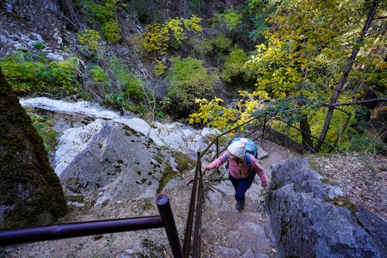
At 2.3 miles, reach a junction with the Upper Madrone Trail, and continue southwest on the Sanborn Trail. Keep an eye out for enormous sandstone boulders reminiscent of Castle Rock State Park. Across Todd Creek, a sign marks the entrance to the Todd Creek Redwoods. This beautiful grove of second-growth coast redwoods is interspersed with enormous stumps from their ancient parents.
Retrace your steps to the Upper Madrone Trail at 3 miles and take it, continuing your loop northeast. The forest is pretty, peaceful, and mostly shady as you merge onto the Lower Madrone Trail. Stands of madrone and huge Douglas fir are a highlight along this stretch. Redwood family circles signal you’re getting closer to park headquarters.
After zig-zagging down the mountainside, merge onto the wide San Andreas Trail at 4.9 miles. Head southeast towards park headquarters on a fire road, the sunniest part of the hike yet. A final left at a signed T-junction takes you back to the main park area under more redwoods.
From Hwy. 85, take the Saratoga Ave. exit heading west. Drive west through downtown Saratoga and then continue another 2 miles to Sanborn Rd. Turn left and follow the road another 1 mile to the park entrance on your right. Pass the entrance station, and then make an immediate right onto the paved road heading uphill. Park in the Sequoia parking lot at the end of the road. The park is open daily from 8 a.m. to sunset. There are restrooms near the parking lot and at the hike-in campground.
{Covid-19 November 2020 Update: Entrance fees, typically $6, are temporarily waived at Sanborn as of October 2020. The park is currently open for RV camping and trail use only. Hike-in tent camping is closed from the third Sunday in October until the third Friday of March; however, you can make reservations for the 2021 season up to six months in advance}


