Sunnyvale and Salty
Hike or bike this loop for great birdwatching on the Sunnyvale Shore


For up-close bird watching, it’s hard to beat a walk along the San Francisco Bay. This 5-mile loop on the Sunnyvale shore is a favorite of local wildlife photographers.
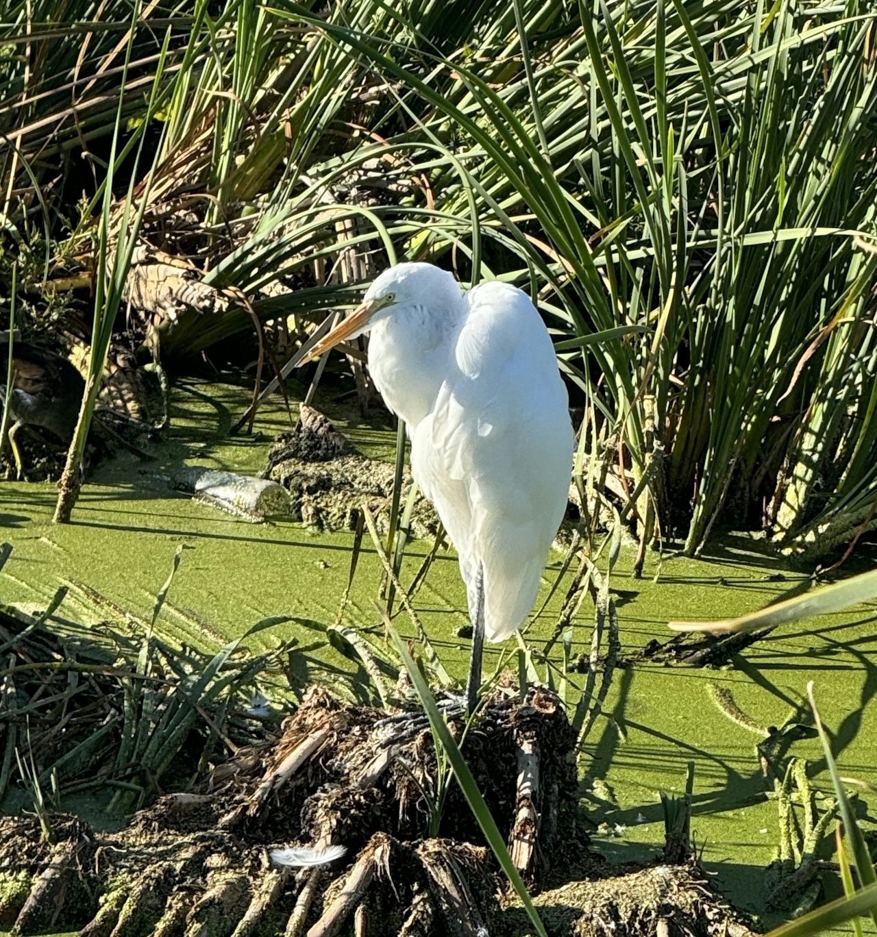
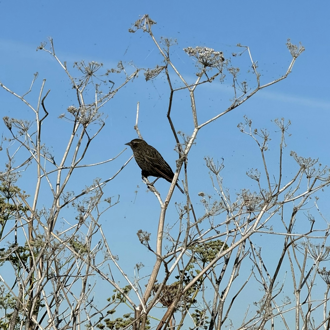
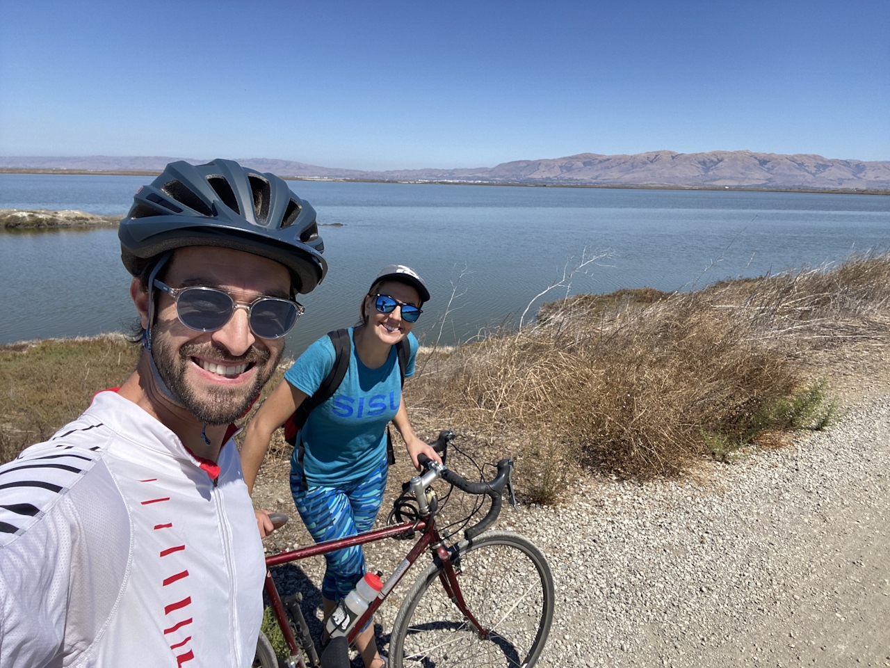
From Caribbean Drive, follow signs for the San Francisco Bay Trail as they lead north to the water. Pass by the water fountain and toilet and continue straight to reach the salt ponds, the southern edge of the Bay. Get your camera ready, because this is where the show begins!
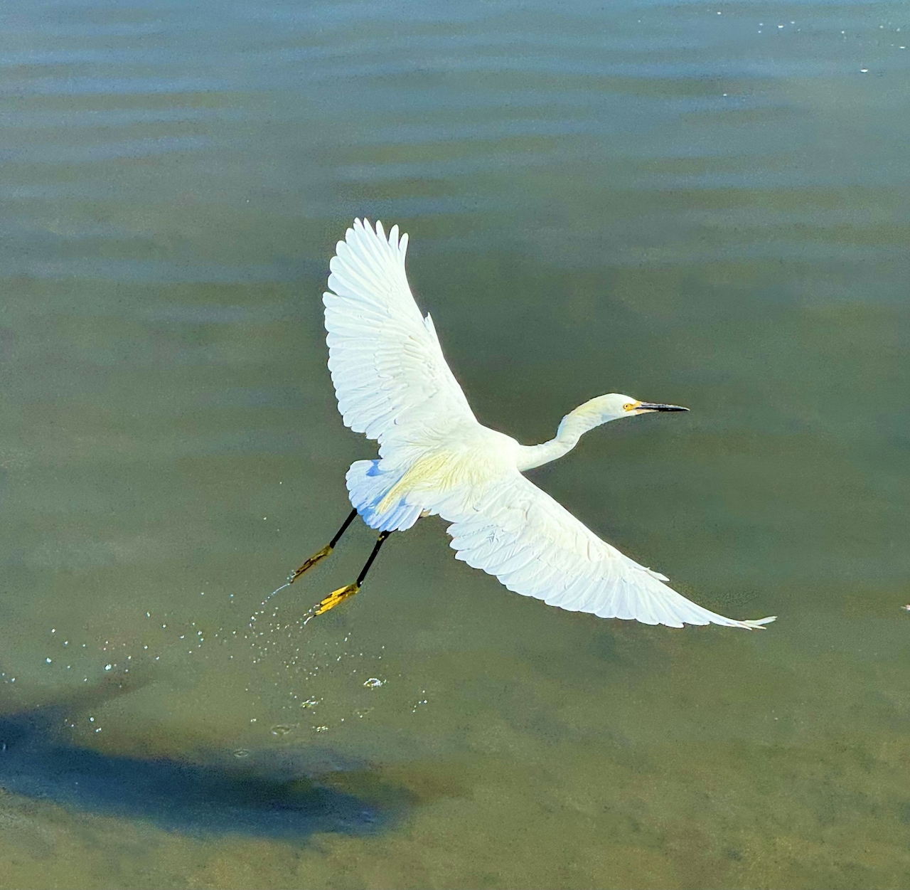
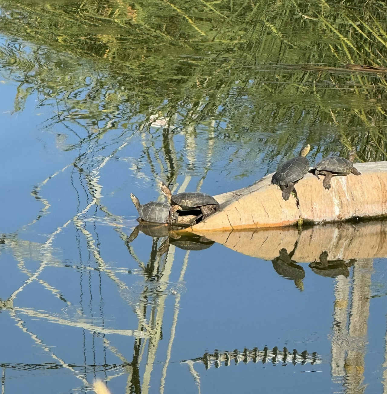
Closest to the shore are the ducks, gallinules, and coots. Lucky birders will catch a glimpse of ruddy ducks, known for the males’ signature blue beaks. After walking along the ponds for 0.2 mile, take a sharp left to begin the loop around the West Pond.
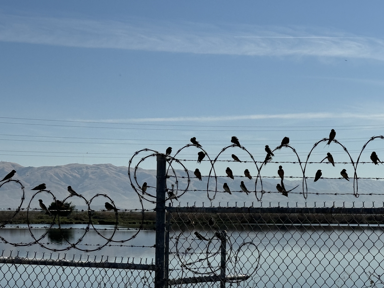
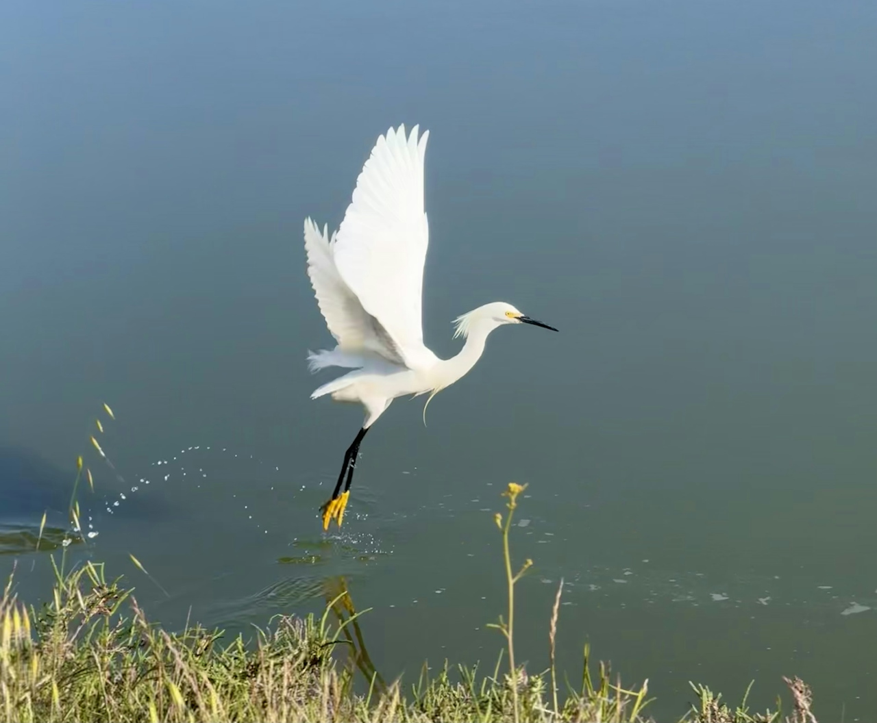
This loop stretches for 3.5 miles, every inch of it packed with wild birds. Large water birds like snowy egrets, great egrets, and brown pelicans are a crowd-pleasing delight to see up-close.
Black-crowned night herons (Heather’s favorite sighting!) are tougher to spot, but have been known to hang out in the reeds along the shore. If you notice large birds posing with open wings, those are cormorants airing out their feathers after diving for fish.
Be sure to look high and low. In the sky, birds of prey like vultures and red-tailed hawks ride the wind alongside ravens, hummingbirds, and swallows. While in the shallow pond water, black-neck stilts and sandpipers hunt for food.
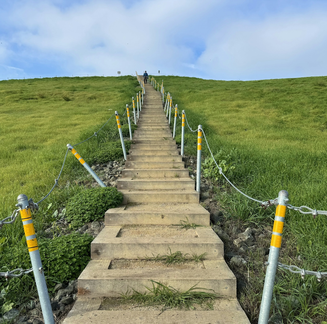
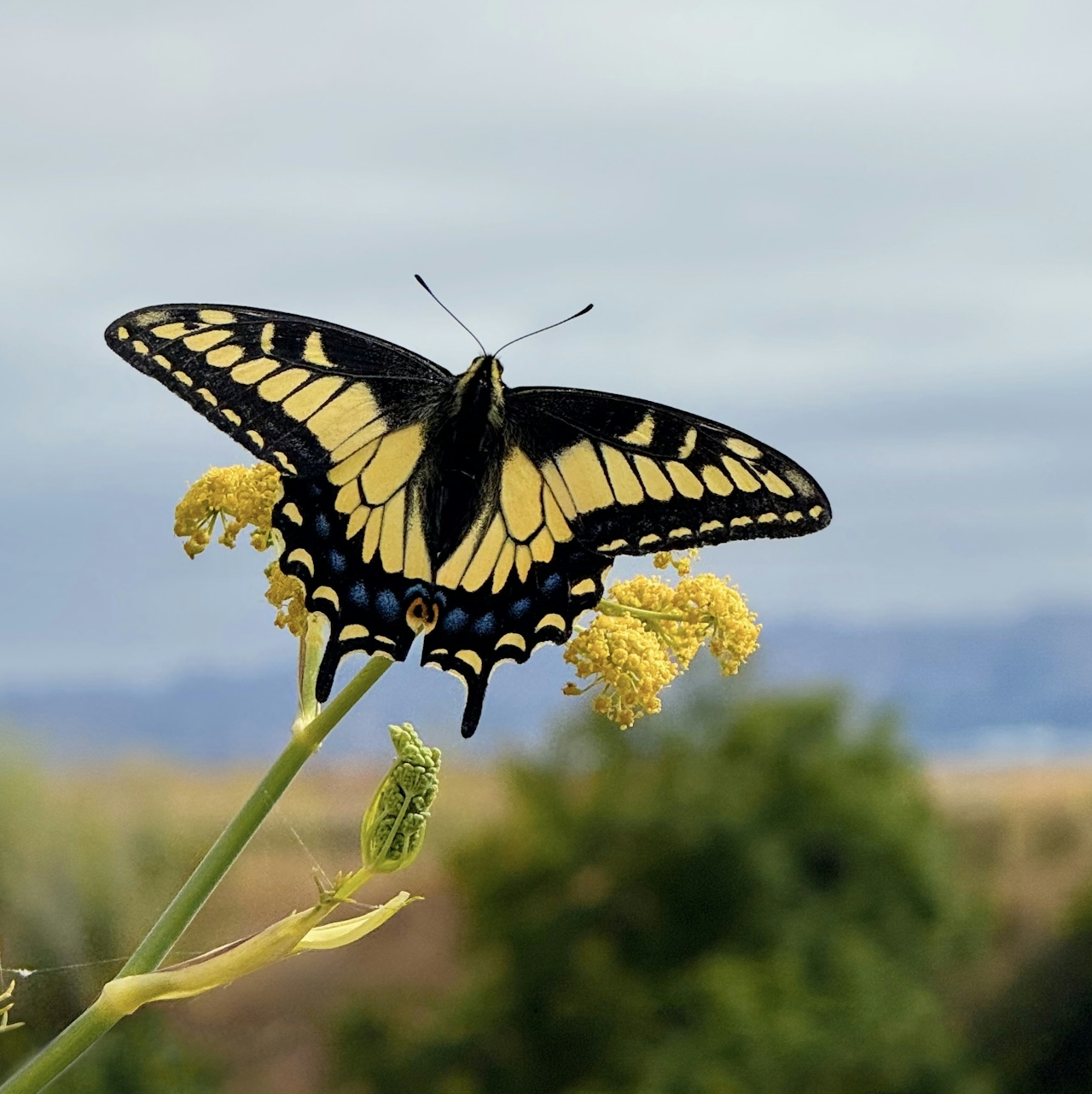
Once hikers have completed their loop, they can retrace the route back to the water fountain, then turn right. Climb up the wooden staircase to get a bird’s–eye view of the salt ponds and Don Edwards Wildlife Refuge in the distance. Enjoy the grassy hilltop with Canada geese and swallowtail butterflies, then retrace the route back to the street.
The Bay Trail trailhead is located on Caribbean Dr. in Sunnyvale. Map Bicycles welcome.
Story and photos by Heather Werner, @heath.er.wer.ner







