Summit Sunset
Sunset Hike to Bald Mountain in Sugarloaf Ridge State Park


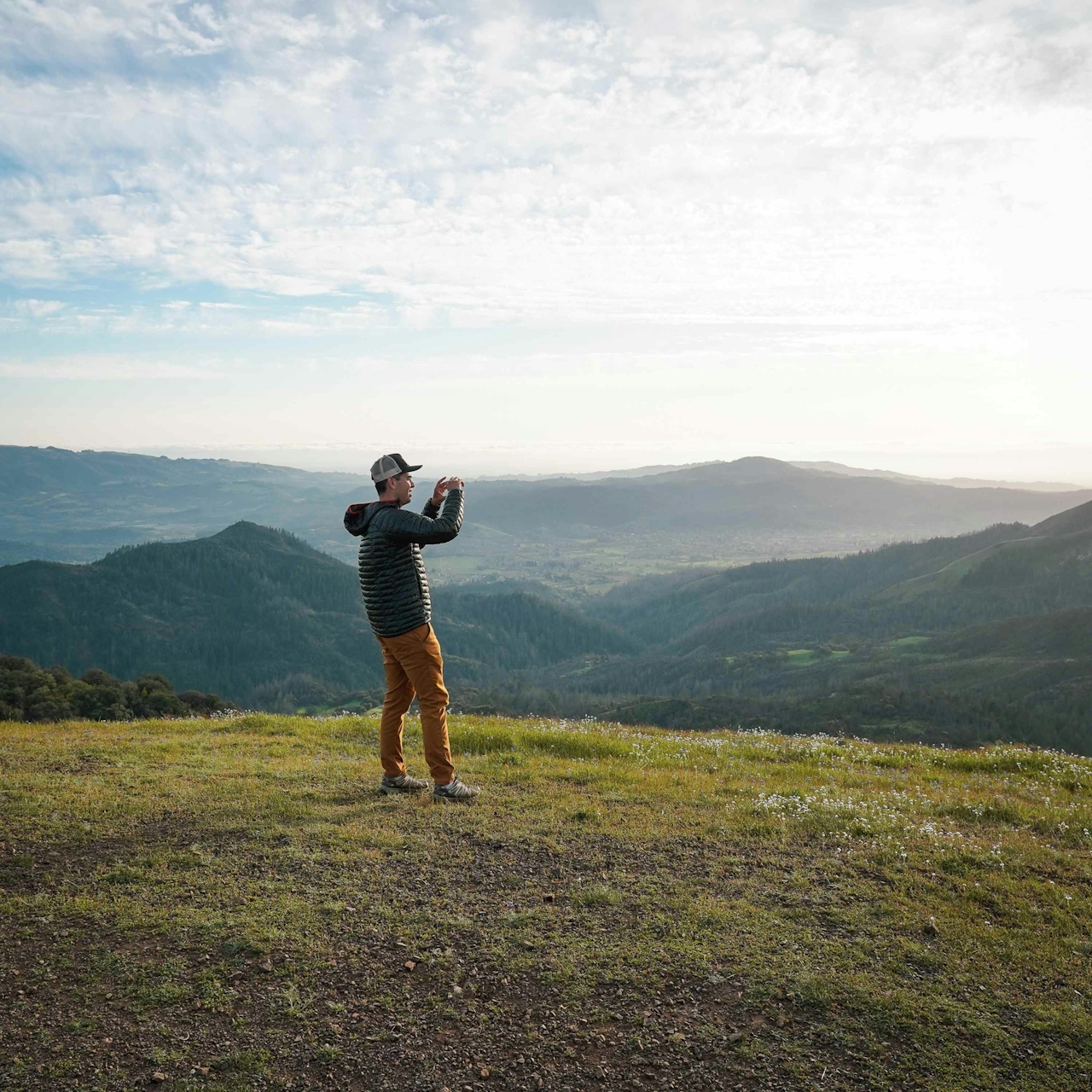
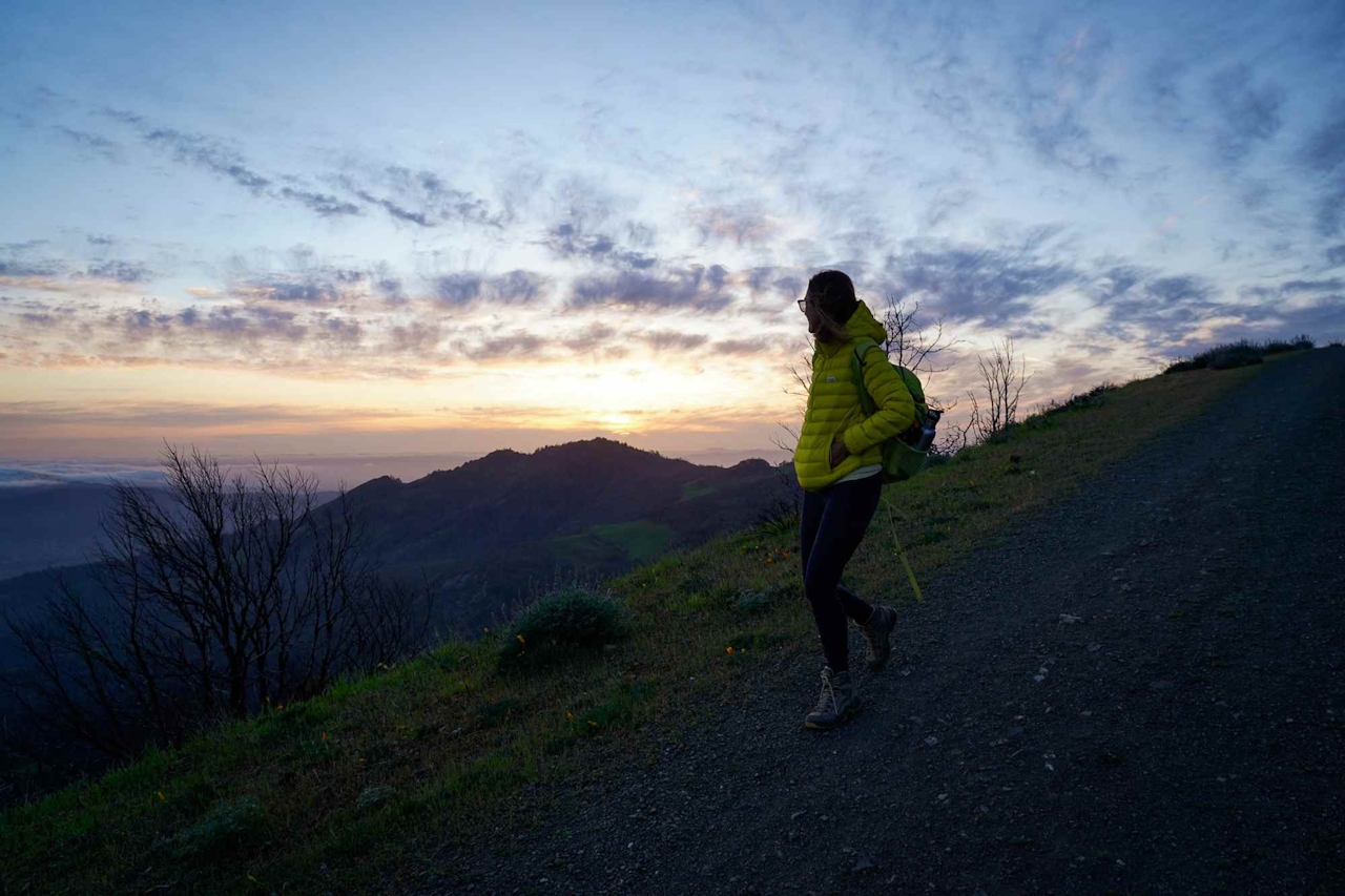
A sunset summit hike doesn’t get better than Bald Mountain in Sonoma’s Sugarloaf Ridge State Park. Set in the Mayacamas Mountains and straddling Sonoma and Napa, Bald Mountain summit delivers the ultimate panorama of wine country, all the way out to the peaks of the Sierra Nevada.
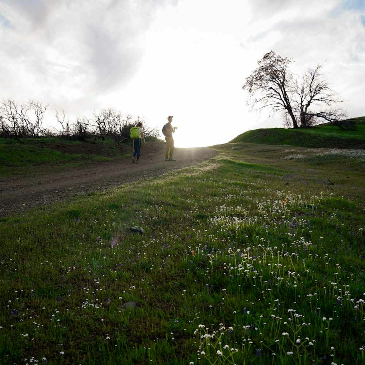
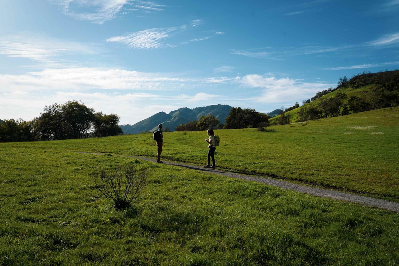
It’s a 6-mile out-and-back hike with an elevation gain of about 1,500 feet, so give yourself plenty of time. (NOTE: check temperatures before embarking on this hike and plan accordingly; on hot days this hike is not advisable because it's quite exposed.) Your aim is to get to the summit before sunset and give yourself time to soak in the scenery before descending. Start at the Lower Bald Mountain Trail, then connect with the Bald Mountain Trail to the summit.
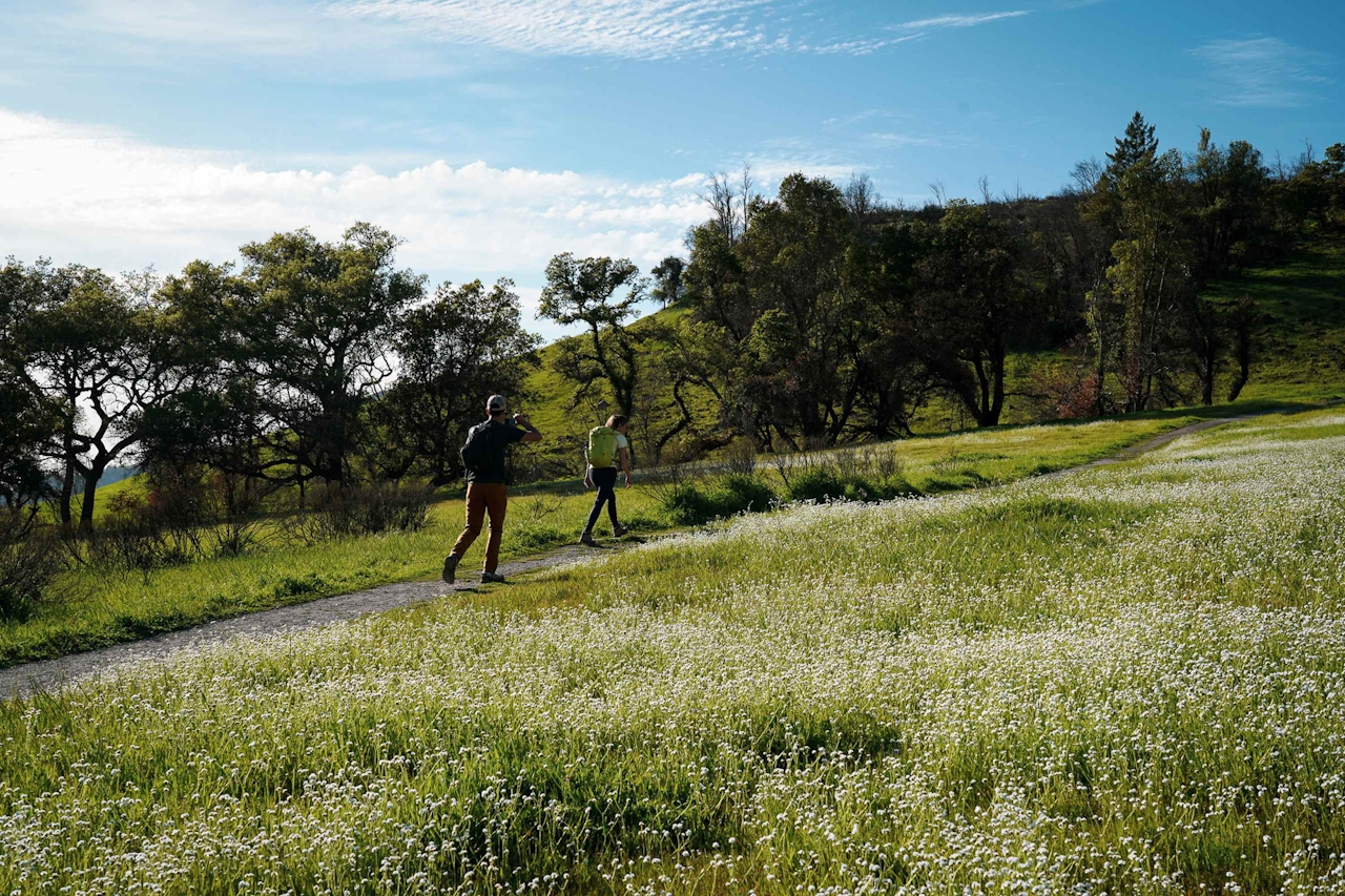
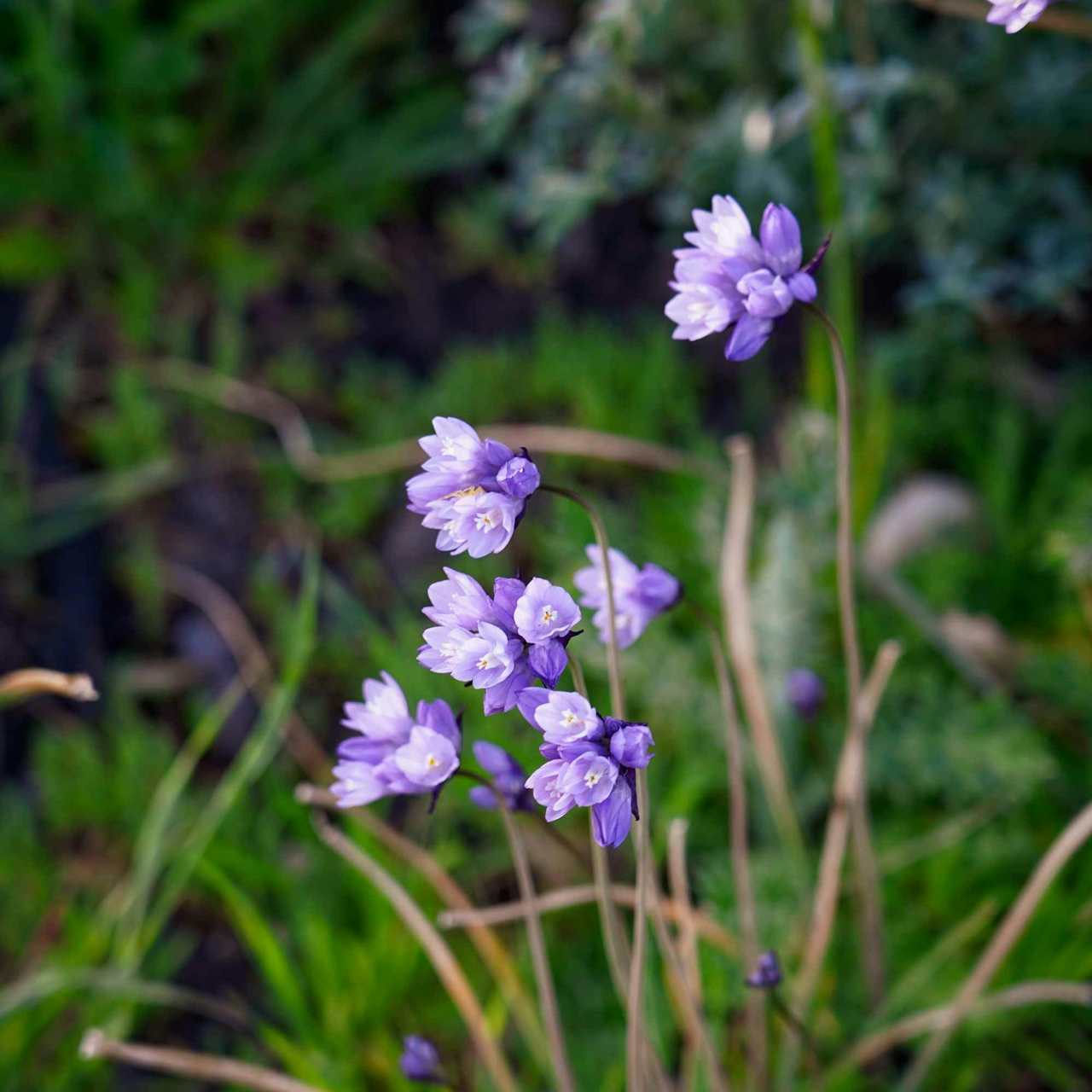
Winding up among grassy meadows and under a mixed forest of oaks, madrone, and gray pine, you’ll emerge to mostly exposed sections, (in spring, there's plenty of chapparal and swaths of grassland dappled or sometimes drenched in color thanks to florals like lupine, popcorn flower, and the California poppy.) A lone picnic table sits close to the summit, spectacular for its vantage over the park’s vast, hilly terrain.
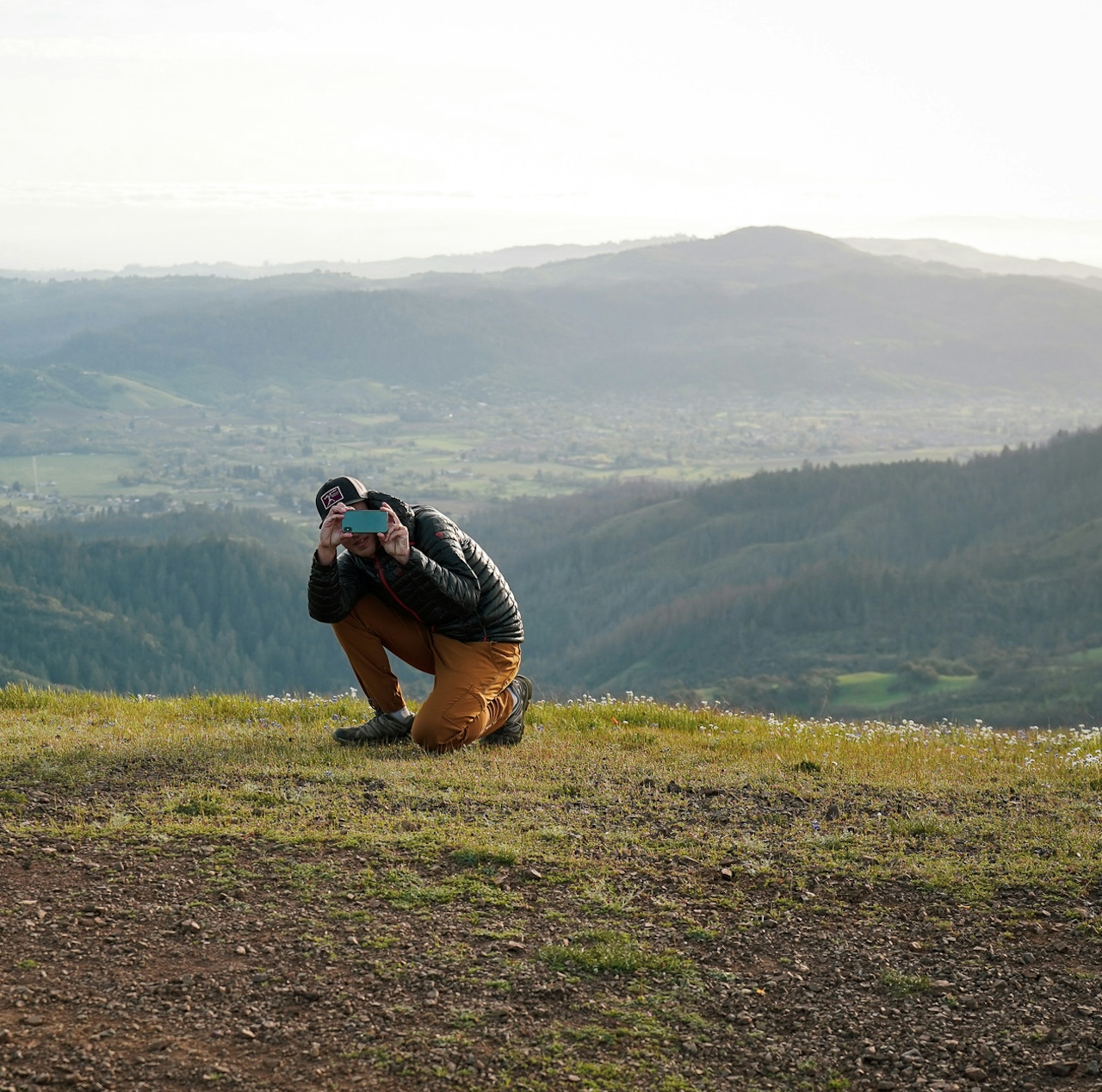
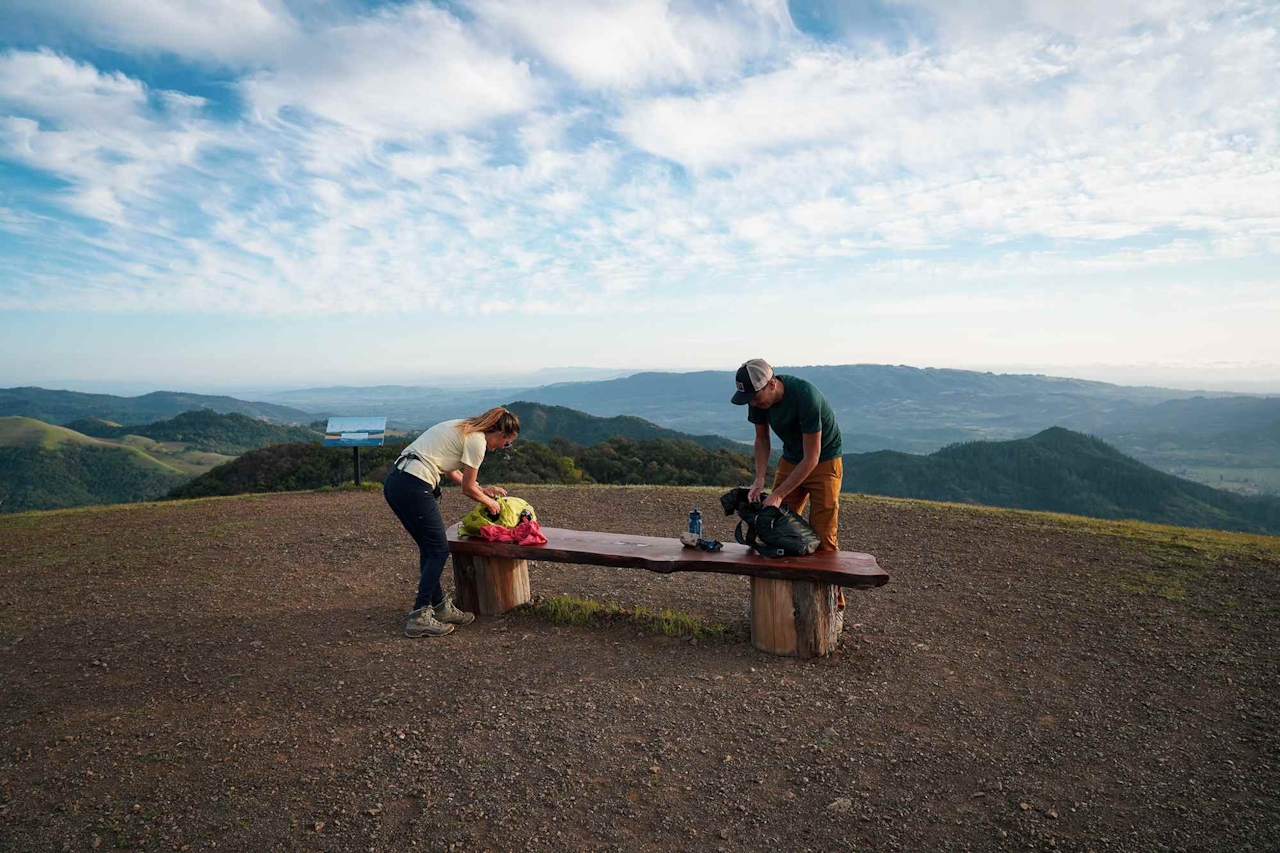
Bald Mountain summit is wowing (and sometimes windy). On clear evenings you’ll see the Sierra Nevada range, the lights of San Francisco dazzling in the distance, and Mount Saint Helena lording in a way that feels close enough to touch. Twirl around and take it in. For the best and safest route back down as it gets dark, take Bald Mountain Trail all the way to Stern Trail, which goes back to the parking area. Bring a flashlight or headlamp for extra measure.
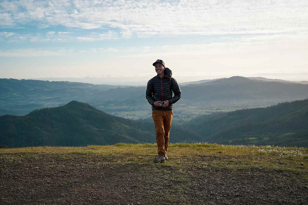
BONUS CAMPING: Sugarloaf Ridge State Park has camping for Tents and RVs, along with 3 glamping sites, as well as tent rental. If there are no more spots available on Reservecalifornia.com, you can still try to get a first-come-first-served camping spot the day you want to arrive by calling the park at 10 a.m. or later: (707) 833-6084 or (707) 833-5712. Good luck!
NOTE: check temperatures before embarking on this hike and plan accordingly; on hot days this hike is not advisable because it's quite exposed. From Hwy. 12 in Sonoma Valley, go east on Adobe Canyon Rd. in Kenwood. Drive 3.5 miles to the park entrance. $8 entrance fee. Your best route for a sunset hike is Lower Bald Mountain to Bald Mountain Trail to the summit; then for descending, take Bald Mountain Trail to Stern Trail, and follow that back to the parking area. The park usually has maps, but we recommend printing one out beforehand to be safe. Give yourself ninety minutes to two hours to walk to the summit. Bring a headlamp or flashlight. No dogs hiking. Camping is dog-friendly.







