Garland in Bloom
Hike & Drink Wine at Garland Ranch Regional Park in Carmel Valley


Carmel Valley is known for its quaint wineries and scenic hiking trails. Enjoy both on this 3.75-mile loop through Garland Ranch Regional Park.


From the parking lot, head east on the Lupine Loop, which leads past the Visitor Center. Hikers can fill water bottles, use the restrooms, or bone up on their wilderness knowledge at the many informative plaques along the trail.


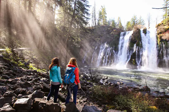
At the intersection with Cliff Trail and Waterfall Trail, hike up Waterfall Trail to the massive cliff face. Lucky winter and spring hikers will catch sight of the seasonal waterfall flowing down its face.

Return to Cliff Trail, a shady forest route littered with enormous boulders, including some with milling holes that were once used by the Esselen and Rumsen people to grind acorns. At the next intersection, cross over Fern Trail to visit Siesta Point, the perfect spot to gaze out at the surrounding Santa Lucia Mountains. (Or, as the name suggests, catch a quick nap.)

Return to Fern Trail and turn right to begin climbing into the hills. After the intersection with Hawk Trail, take the next left and follow signs to Inspiration Point. This open hilltop overlooks the valley and the vineyards that make it famous. Kick back on the viewing bench and soak up inspiration among the fields of fuchsia-flowered gooseberries.

As you leave Inspiration Point, keep right on Sage Trail, a route lined with a rainbow’s worth of wildflowers, including Indian paintbrush, blue dicks, morning glories, and hairy vetch. Turn left onto Maple Canyon Trail, then continue straight onto Lupine Loop Trail to return to the parking lot.

The perfect end to a hike in Carmel Valley is to grab a bite and a bottle of wine in town. The area is best known for fresh, farm-to-table meals, paired with a local Pinot Noir or Chardonnay. Cheers!


Garland Ranch Regional Park is located at 700 W Carmel Valley Road in Carmel Valley. Map. The park is open from sunrise to sunset. Dog-friendly!
Story and photos by Heather Werner, @heath.er.wer.ner