Powder Room
Powder Canyon hike in Los Angeles


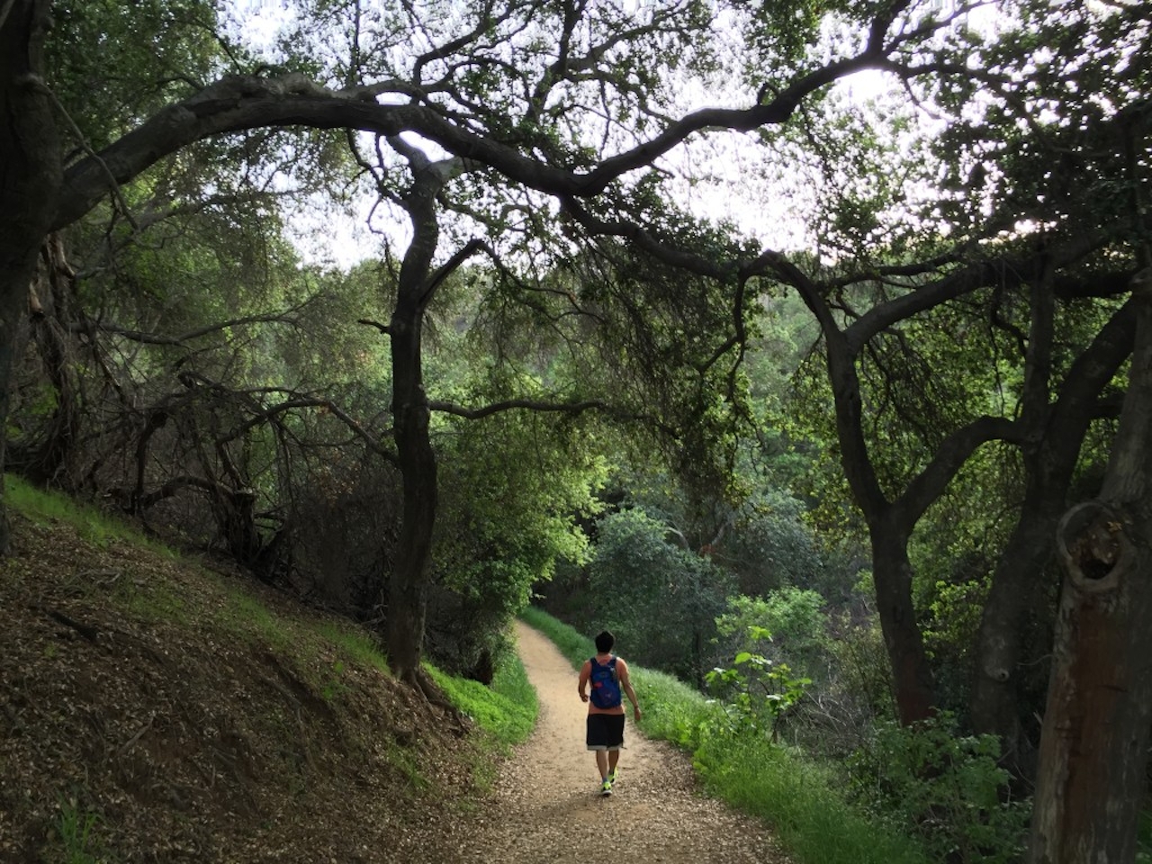
Between the cities of La Habra Heights and Rowland Heights lies a truly hidden gem offering a hiking experience of pure solitude and big views. Powder Canyon is home to a 5-mile loop trail with nearly 1,000 feet in elevation gain. The Powder Canyon Trail starts at the trailhead next to a small, oval equestrian ring. This might suggest horses on the trails, but actually this hike is very lightly traveled, with a quiet stretch of trail under a dense group of grand oak trees. When you emerge from this shady oasis to thick grasslands, stay right at the Gray Squirrel junction and continue straight until you reach a junction with two descending fire road path options. Choose the fire road on the right (still Powder Canyon Trail), which quickly narrows and descends into the canyon, crossing into county land as the San Gabriels greet you straight ahead. As the trail flattens, you’ll come upon an equestrian center and Schabarum Regional Park, where you can take a mid-hike break.
Afterwards, stay left and cross a small stream to meet a fairly steep ascent alongside purple sage and a dense display of prickly pear cactus. Take a very short detour on a spur trail to the right, which leads to a plateau and a panorama of the San Gabriel range. Back on the main trail, continue left at a junction under the metallic buzz of towering power lines. Views of the Santa Anas to the south (and even the coast on clear days) dominate your vision after taking the next leftmost trail that begins a descent. At the final junction with the Powder Canyon Trail, stay right and take the familiar path all the way back to the lot. Powderful experience indeed!
To get to the trailhead, take the 60-E and exit Fullerton Avenue. Take Fullerton south, eventually making a slight right to stay on the road after roughly 2 miles. You'll see cars parked at the Nogales trailhead before signs for Powder Canyon direct you to a dirt road on your right, which leads into the parking lot. Dog-friendly!







