Chain of Alpine Lakes
Little Lakes Valley hike in Rock Creek Eastern Sierras


There are six and a half good reasons to do this 6.5-mile (out-and-back) hike in the eastern Sierras’ Inyo National Forest. The Little Lakes Valley hike is an oasis-hopping, mountain-flanked gem that’s absolutely waterful, connected by a trio of half-mile stretches! Begin at Mosquito Flats trailhead, a short drive up the hill from Rock Creek Lake. You’ll be at just over 10,000 feet as you set out alongside a rushing creek where signs provide helpful directions (though it’s best to have a map). At the first junction, take the left path towards Morgan Pass and within a mile encounter Mack Lake, surrounded by dense lodgepole pine forest and, in summer, a flurry of wildflowers.
A short stroll down the trail gets you to Marsh Lake, followed by Heart Lake, where towering snowcapped peaks frame the ultra-blue water. In half a mile get a bird’s-eye view of Box Lake, along with stunning panoramic alpine views. Continue a half mile through a meadow to Long Lake, the largest of the bunch. The trail continues for—you guessed it—another half mile along the shore, flanked by a rocky cliff. Follow a consistent ascent for just under a mile to reach Chickenfoot Lake, a good place to break out a picnic lunch before returning the way you came.
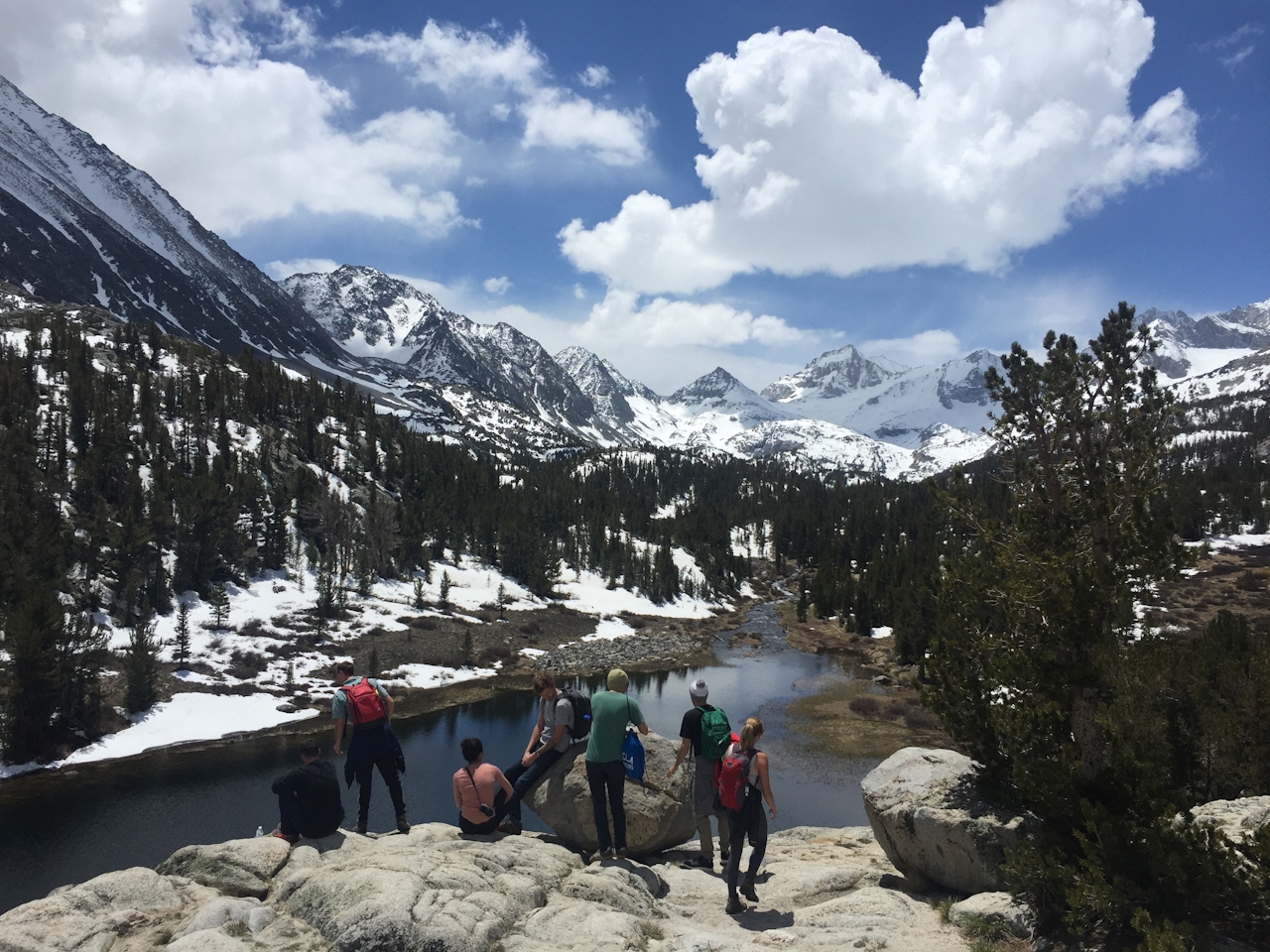
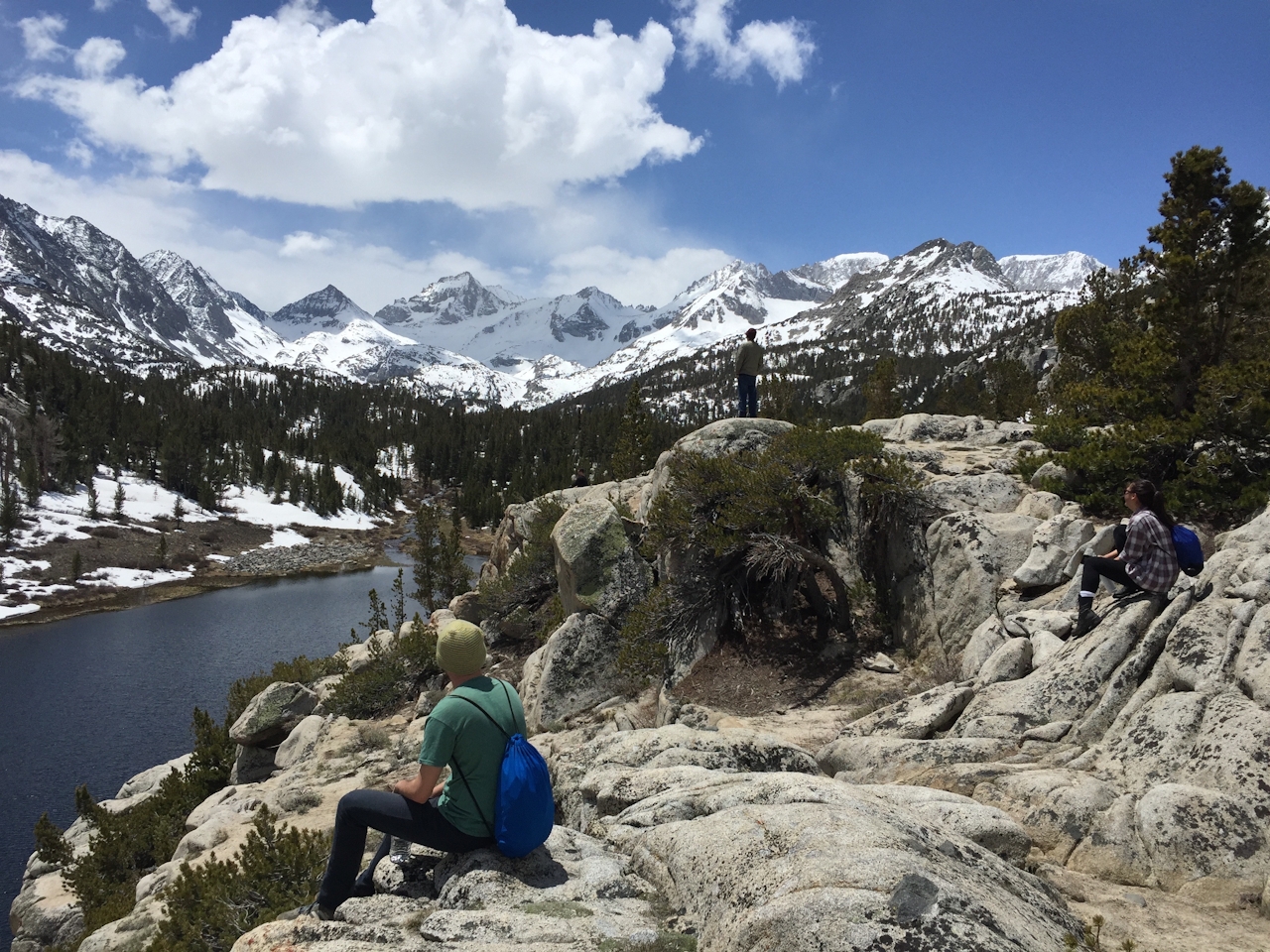
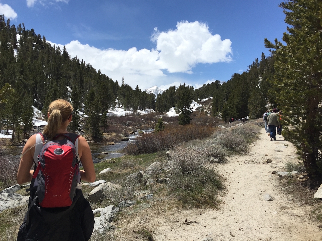
TIP: For those who want to extend the hike beyond 3.25 miles (one-way), at Chickenfoot Lake follow the trail for another mile, where a junction directs you to the steep switchbacks of Morgan Pass and the Upper and Lower Morgan Lakes, or go right to reach Gem Lakes.
To get to the Mosquito Flats trailhead and parking lot, take either CA-14 or I-15 to U.S. 395 N. Pass through Bishop and, 25 miles further on, at Tom’s Place turn left onto Rock Creek Rd. Follow it up the hill, past the lake campground, lodge, and cabins to the lot and trailhead, found at the end of the road. Dog-friendly!







