Big Burdell!

Hiking to the summit of Marin County's Mount Burdell

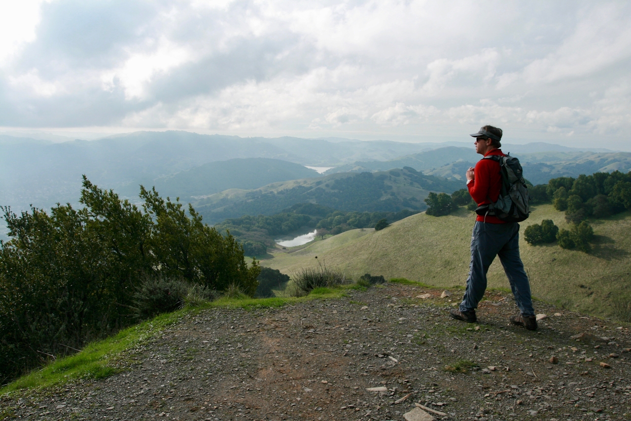
Summiting Marin’s Mount Burdell isn’t on many bucket lists, but it should be. At just over 1,500 feet, it’s the highest peak in north Marin, and the summit payoff is plentiful. Starting from a simple staging area off a residential road in Novato, the moderate 5.5-mile (round-trip) trail meanders across green hills studded with barren oak trees whose craggy and leafless branches look like something out of a Tim Burton movie. Hop across seasonal streams before ascending the mountain by way of a narrow and forested gorge. After a bit more than 2 miles, you’ll reach the gently rounded peak.

Take a little time to explore the top of Mount Burdell; rocks were mined up here to make San Francisco’s cobblestone streets. There aren’t any 360-degree views, but there are multiple vantage points, including views of the Petaluma River, Mount Saint Helena, and Mount Diablo. Descend via the Cobblestone Fire Road, passing Hidden Lake, whose waters are teeming with busy and noisy frogs.
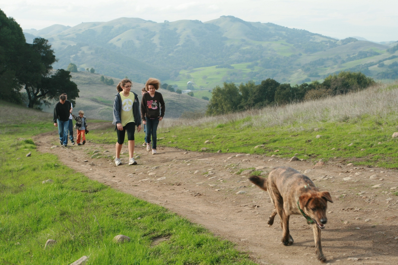
Print a map before you go. Driving from Hwy. 101 in Marin, exit San Marin Dr./Atherton Ave. Go west on San Marin Dr. for 2.5 miles, then make a right on San Andreas Dr. Follow it to the end and park. Enter the open space gate and take the trail right (the wide fire road that goes straight is what you’ll come down.) In 0.4 mile, turn left at the signed Michako Trail. Cross a couple of streams, and in 1 mile take the San Carlos Fire Road left. In 1.3 miles, take Old Quarry Trail left and continue uphill. Nearly at the top is Burdell Fire Road. Turn right and go 0.25 mile to a great view, or take an unsigned trail uphill to the rock wall for great northern views. Hike down the Cobblestone Fire Road. After a mile is Hidden Lake. Go right on Middle Burdell Fire Road. After a half-mile, the trail merges with San Andreas Fire Road, which takes you back to the staging area. Dog-friendly!

Trending Stories NorCal

View all Stories
  1. Woman with her arms outstretched to the rolling hills scenery while on a rock outcrop at Barnabe Peak in Samuel P Taylor Sate Park in Marin

    Barnabe Bonanza

    Sure, there are higher mountains in Marin (Mount Tam) and easier ascents (Mount Burdell), but is there a more expansive North Bay view? Barnabe Peak in Samuel P. Taylor State Park offers a glorious panorama including Mount Tam, Mount Diablo, and Mount St. Helena.

    View
  2. Tamtastic Sunset

    Sure, the East Peak of Mount Tam is absolutely spectacular at sunset, but some magic-hour enthusiasts head to a nearby spot, Trojan Point, for a little more personal space in their panoramic viewings.

    View
  3. Hiker on the SCA trail in Marin Headlands with view of the Golden Gate Bridge

    Headlands Over Heels

    People come from all over the world to get a glimpse of the Golden Gate Bridge. Get a dramatic and novel view of the bridge without all the people on this moderate 6-mile hike in the Marin Headlands.

    View

Trending Stories SoCal

View all Stories
  1. Woman hiking the San Onofre Bluffs Loop Trail to San Onofre State Beach in San Diego County

    Bluffing Good!

    Lovely coastline, beautiful beaches, unique geological history, and picturesque sandstone cliffs with limited foot traffic in San Diego County? Head to San Onofre State Beach and the 5-mile San Onofre Bluffs Loop Trail.

    View
  2. Can We Get a Whoop Whoop!

    City, mountain, and ocean views all in one hike? Whoop whoop! It’s no surprise the the Kenter Fire Road and Whoop-de-Doos Trail (a combo of fire road and singletrack) is a favorite among local mountain bikers and hikers alike.

    View
  3. The Big Chill

    In LA, finding a place to chill can be the ultimate flex. So flex, in Franklin Canyon! This unexpected oasis has plenty of shade, cool lake breezes, and ample picnicking spots. Enjoy it on an easy-going 1-mile stroll along its reservoir and duck pond.

    View





