Black Star Canyon

Hiking to Black Star Canyon Falls in Orange County

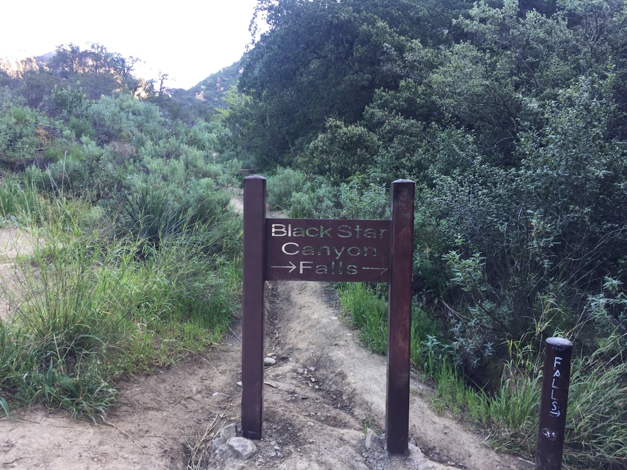
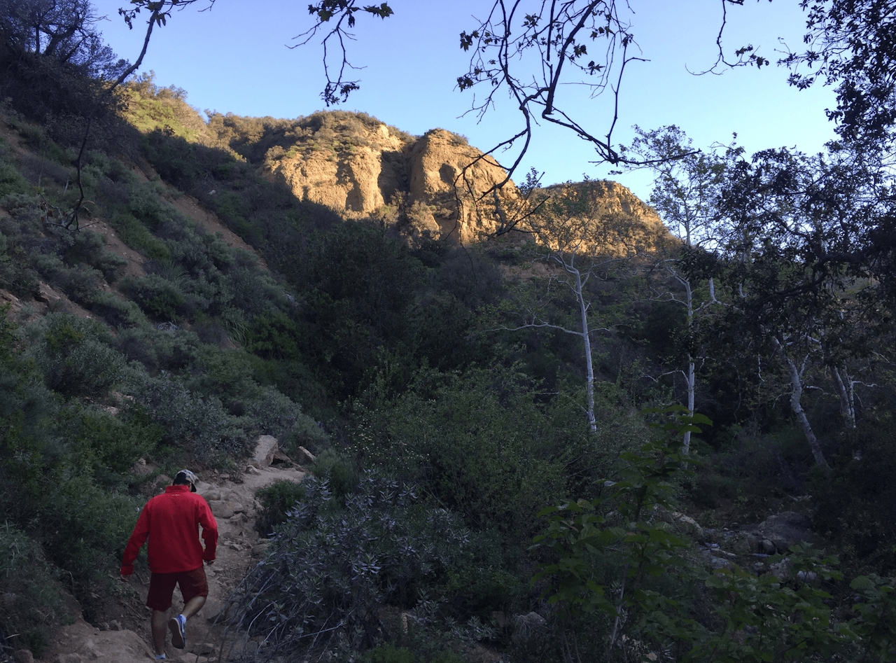
A hike to the roaring Black Star Canyon Falls in the heart of the Santa Ana Mountains is not for the faint of heart nor the weak of ankle. This waterfall in the Santa Ana River is flowing stronger than it has in years! And it’s reachable via a challenging and exciting 7-mile out-and-back hike. Don’t worry; you can do it! The first two miles are on a moderate, well-maintained dirt path. Expect to see other hikers and mountain bikers. When you reach a fork, follow the sign that points toward Black Star Falls and head right to enter the Black Star creek bed.

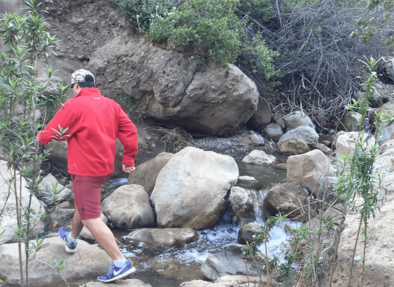
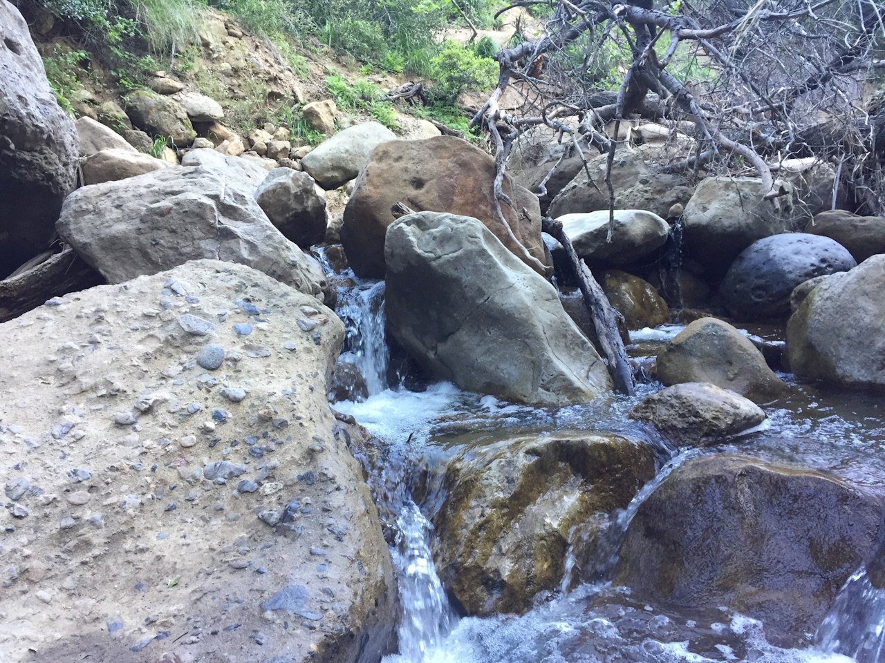
Now the hike becomes much more exciting. As you walk, jump, and climb, the water flows stronger and the boulders grow larger. Wear shoes with ample ankle support that you don’t mind getting wet. As you scramble toward the falls, keep your ears open for croaking frogs, and your eyes open for arboreal salamanders in the creek. Find your own way along the rocky path that follows the flowing creek and enjoy several smaller falls on your way to the dramatic behemoth at the end of the trail.

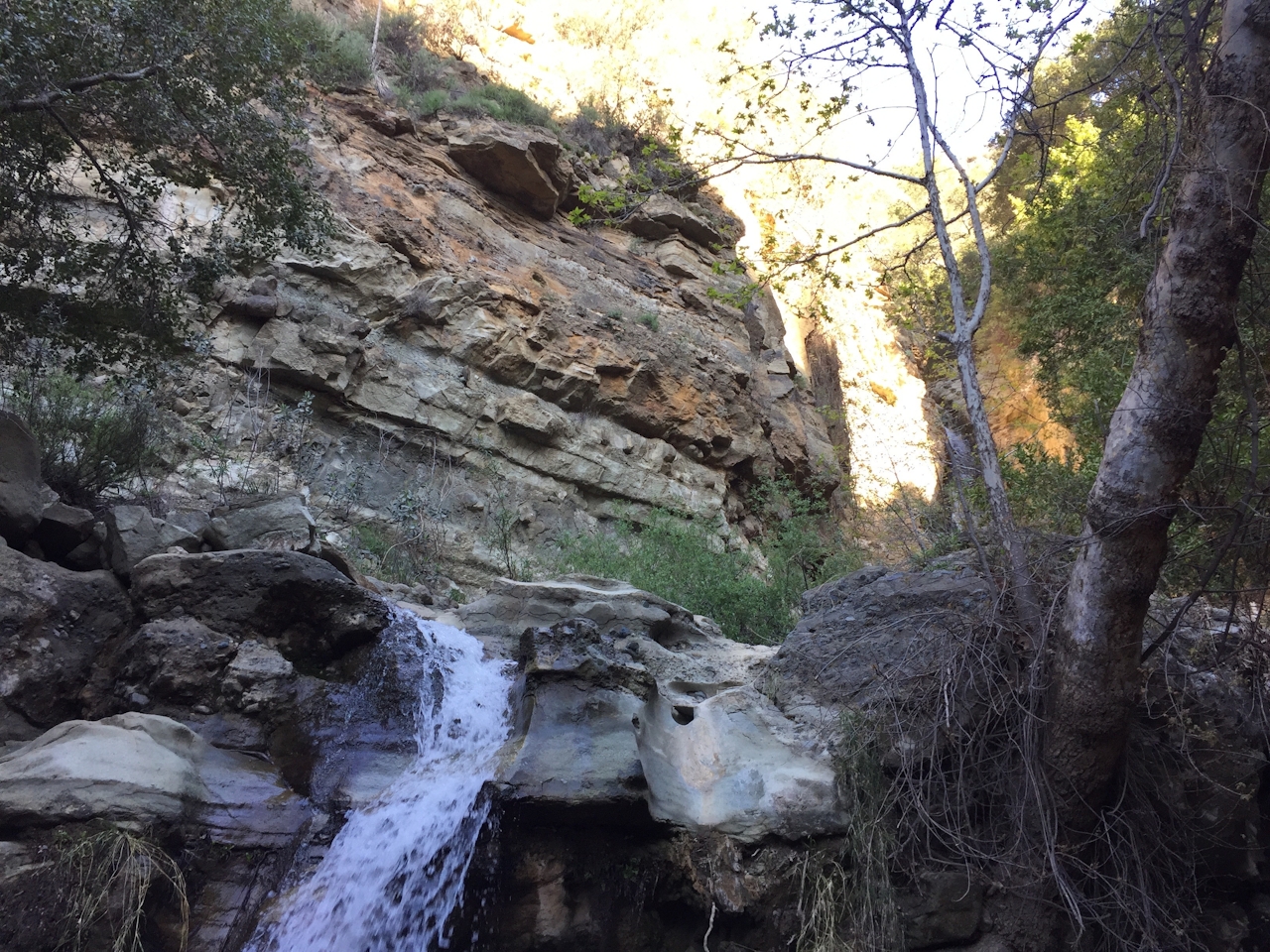
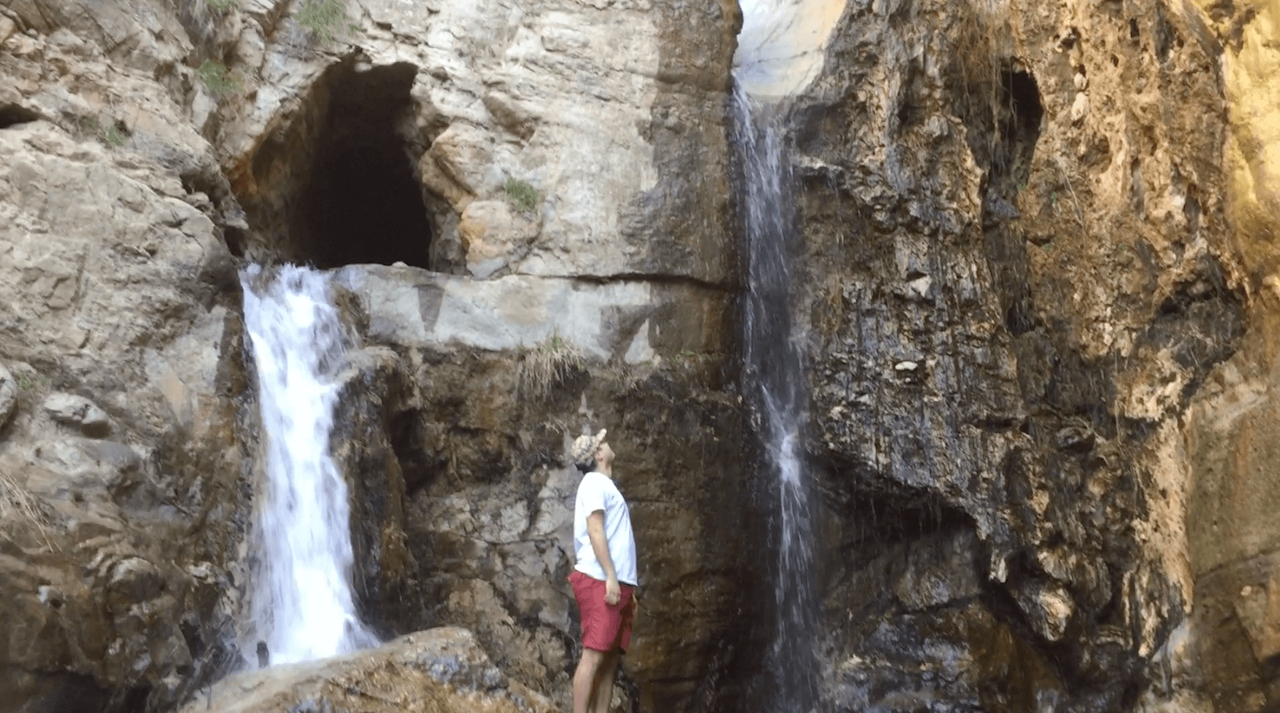
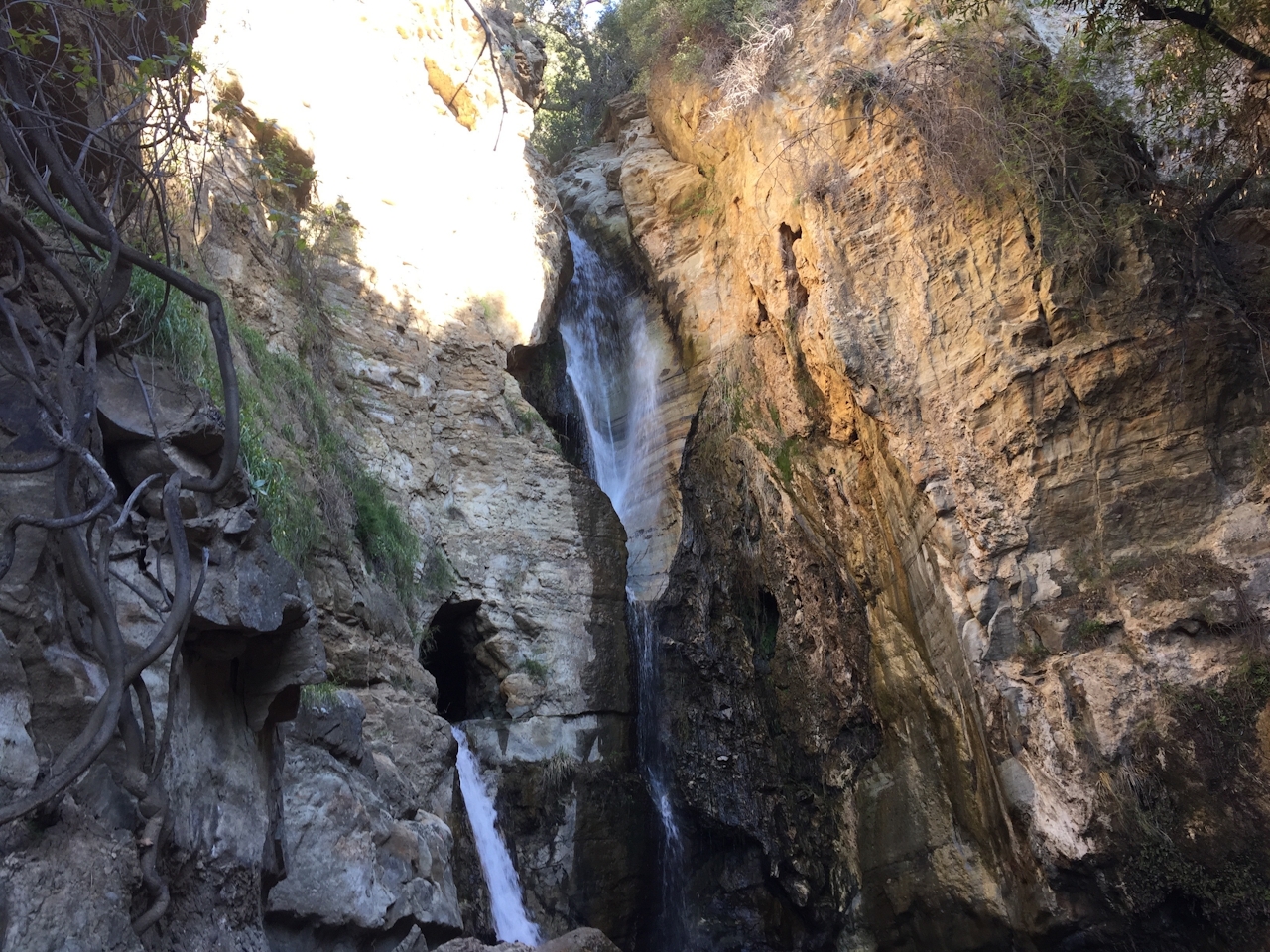
The waterfall itself is an incredible testament to the erosive power of flowing water as it streams down in two ribbons—one through a narrow crevice and the other through a cave lower on the rock face. After you admire the beauty of the place, simply turn around to return to the trailhead.

TIP: To avoid crowds and the midday heat, begin the hike as early in the morning as possible.
To get to Black Star Canyon trailhead, from CA-55 in the city of Orange, exit Chapman Ave. east, and after 5.2 miles stay left to stay on E. Santiago Canyon Rd. Turn left onto Silverado Canyon Rd., and then make a quick left onto Black Star Canyon Rd. Continue to the parking lot (free) at the end of the road. Dog-friendly, but not recommended—the terrain is very challenging for them.

Trending Stories NorCal

View all Stories
  1. Woman with her arms outstretched to the rolling hills scenery while on a rock outcrop at Barnabe Peak in Samuel P Taylor Sate Park in Marin

    Barnabe Bonanza

    Sure, there are higher mountains in Marin (Mount Tam) and easier ascents (Mount Burdell), but is there a more expansive North Bay view? Barnabe Peak in Samuel P. Taylor State Park offers a glorious panorama including Mount Tam, Mount Diablo, and Mount St. Helena.

    View
  2. Hiker on the SCA trail in Marin Headlands with view of the Golden Gate Bridge

    Headlands Over Heels

    People come from all over the world to get a glimpse of the Golden Gate Bridge. Get a dramatic and novel view of the bridge without all the people on this moderate 6-mile hike in the Marin Headlands.

    View
  3. woman hiking Mt Tam east peak
    Sponsored

    Marquee Marin

    There may be no better place to find the best in coastal outdoors than the Marin Headlands. Bluff-side hiking trails, beautiful sandy beaches, big Pacific views, an iconic lighthouse, and unique lore in the area’s historic batteries are all part of the action here.

    View

Trending Stories SoCal

View all Stories
  1. Woman hiking the San Onofre Bluffs Loop Trail to San Onofre State Beach in San Diego County

    Bluffing Good!

    Lovely coastline, beautiful beaches, unique geological history, and picturesque sandstone cliffs with limited foot traffic in San Diego County? Head to San Onofre State Beach and the 5-mile San Onofre Bluffs Loop Trail.

    View
  2. Can We Get a Whoop Whoop!

    City, mountain, and ocean views all in one hike? Whoop whoop! It’s no surprise the the Kenter Fire Road and Whoop-de-Doos Trail (a combo of fire road and singletrack) is a favorite among local mountain bikers and hikers alike.

    View
  3. The Big Chill

    In LA, finding a place to chill can be the ultimate flex. So flex, in Franklin Canyon! This unexpected oasis has plenty of shade, cool lake breezes, and ample picnicking spots. Enjoy it on an easy-going 1-mile stroll along its reservoir and duck pond.

    View