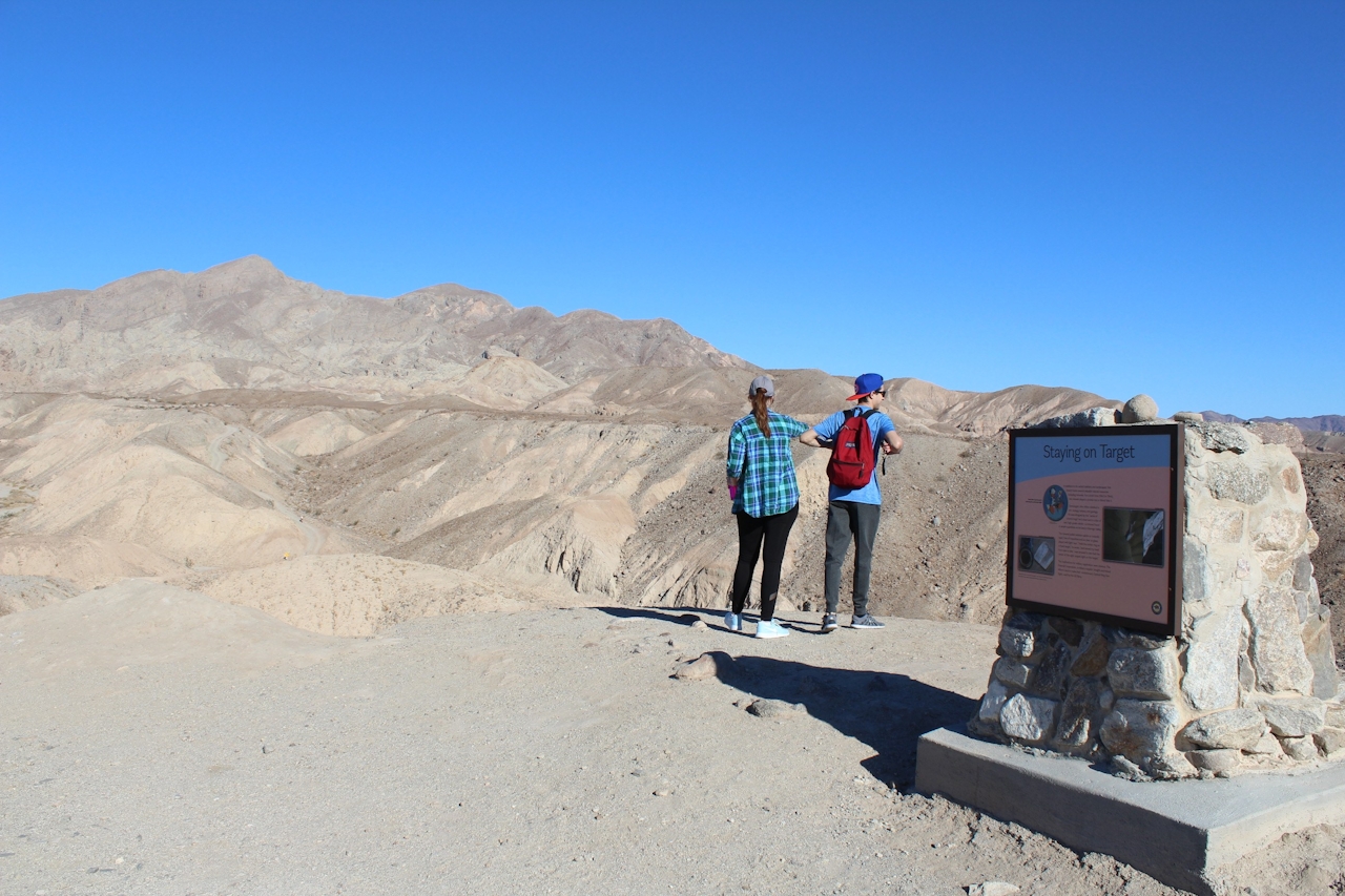
Good Times in Anza-Borrego's Badlands

Hiking the Palm Wash Slot Canyons in Anza-Borrego Desert State Park

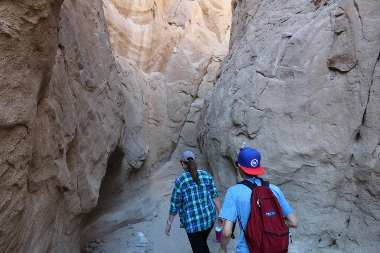
Anza-Borrego’s badlands look forbidding, but anyone with a sense of adventure can dive in and explore V-shaped canyons, 100-foot-deep slots, and a vast maze of sandstone rock formations laced with the calcite veins that drew miners here in the 1940s.

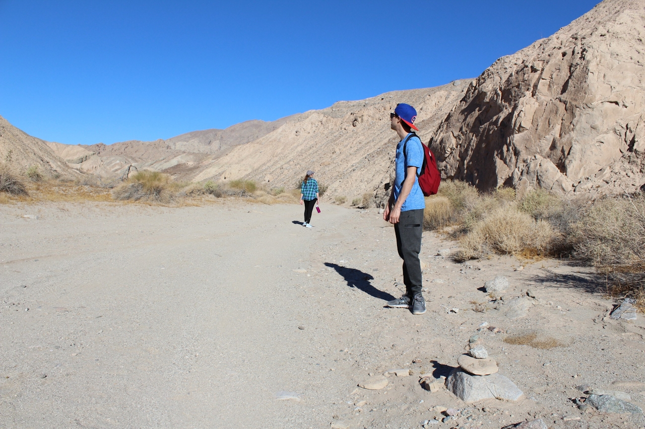
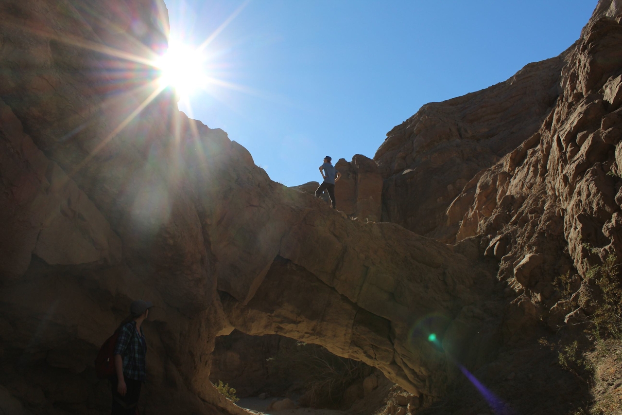
At the heart of all this badness is Palm Wash, which can be explored via any or all of its three main routes: the South Fork, Middle Fork Main Branch, and Main Branch South Fork. The safest route for you and your vehicle is the South Fork. At the highway turnoff for Calcite Mine Road, park on the side of the road and follow the tracks down to the wash. Instead of continuing on Calcite Mine Road, turn left and follow the wash upstream. After about a half-mile, the canyon quickly narrows and a huge sandstone bridge spans the vertical walls, marking the entrance to the slot. Some parts of the route require a bit of climbing over rocks, but nothing extreme. The path is easy to follow and dead-ends after a few hundred yards at a 30-foot dryfall.
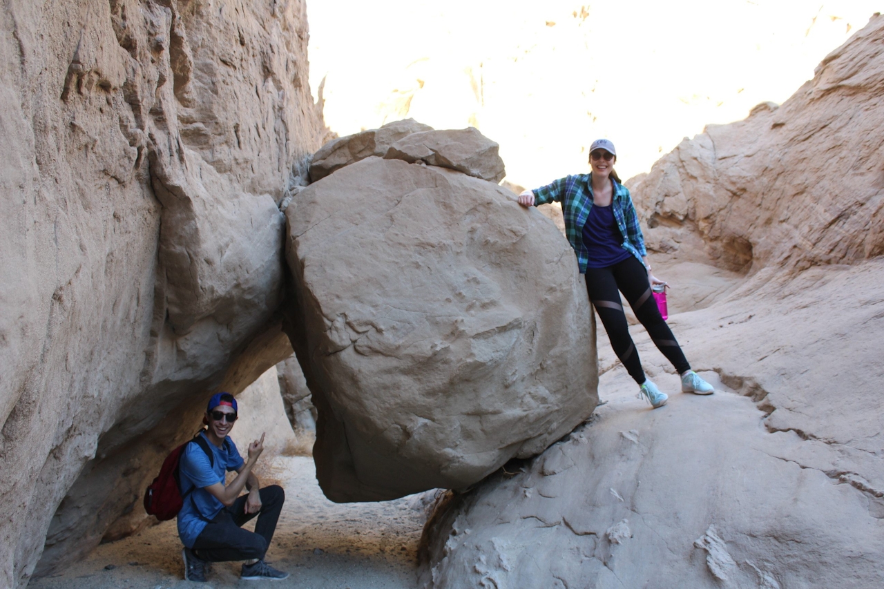
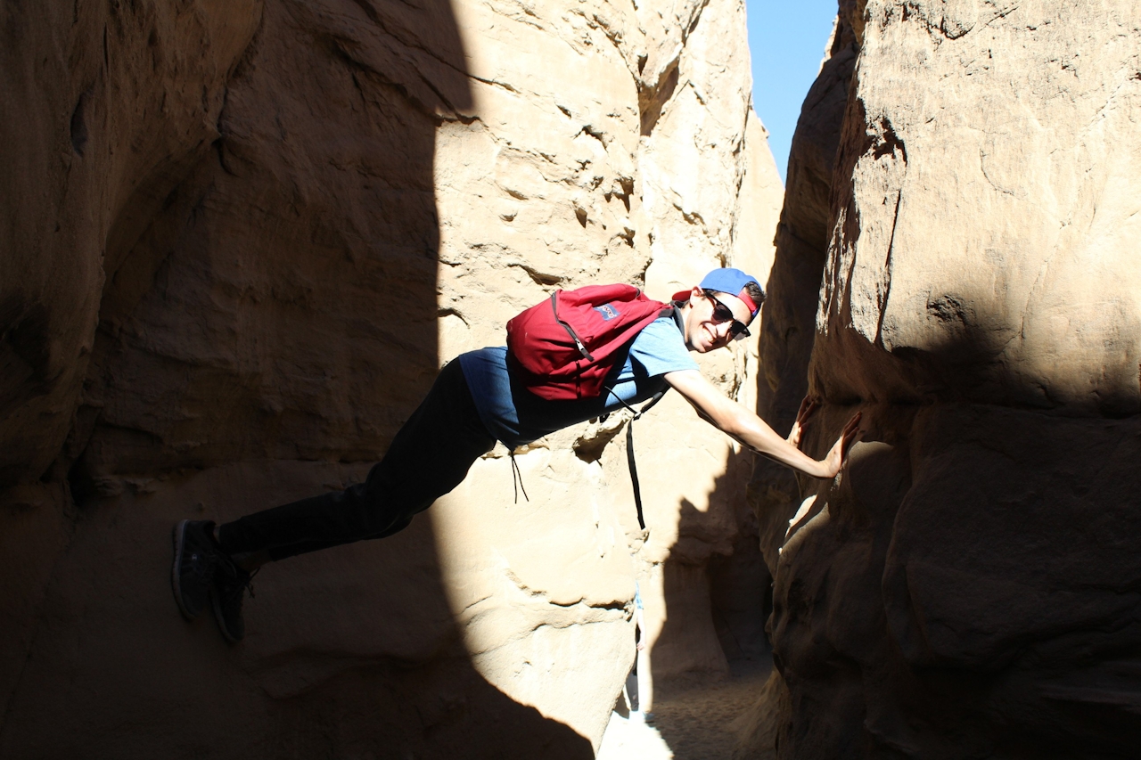
Ready for more? Once you return to the trailhead, you can access both branches of Palm Wash’s Middle Fork from Calcite Mine Road—a rough 4WD road that winds through the canyon and reaches Calcite Mine after about 1.8 miles. Or you can spend a full day exploring the countless branches of slots off all three major forks.

TIPS: This canyon can quickly turn into a maze, so it’s important to remember landmarks while hiking through. The landscape is dry and barren, so be sure to bring lots of water.

Palm Wash is located just inside the Anza-Borrego Desert State Park boundary. The Palm Wash (Calcite Mine) Slot Canyon Trailhead is just off the side of the S-22 about 10 miles west of Salton City. Park at the trailhead on either side of the road. No dogs except on Calcite Mine Rd.

Trending Stories NorCal

View all Stories
  1. Purely Purisima

    Take a relaxing hike on the lower section of Purisiima Creek Trail in Purisima Creek Redwoods Open Space Preserve.

    View
  2. Muir Woods Night Tour

    Thousands of people flock to Muir Woods every year, yet only a few see it at night, when this beloved park is experienced in a whole new light. The Muir Woods Night Tour happens on the last Friday of every month through October.

    View
  3. Slide Ranch Marin

    Slide On Over

    Marin's Slide Ranch has a popular neighbor in the Muir Beach Overlook. But don’t overlook Slide! This open-to-the-public nonprofit organization sits on 134 acres of coastline and is filled with animals, Pacific scenery, and an adjacent hiking trail.

    View
  4. Sponsored

    Take the Exit to the Best of the San Francisco Peninsula

    The San Francisco Peninsula is proof that some of Northern California’s greatest surprises are hiding just off Highway 101. All you have to do is take the exit.

    View

Trending Stories SoCal

View all Stories
  1. Been There, Dome That

    Surrounded by granite domes, craggy peaks, and miles of hiking trails, the High Sierra landscape of Tuolumne Meadows in Yosemite National Park is famous for good reason. For a truly grand view, take a short hike to bold—and bald (except for snow at times)—Lembert Dome.

    View
  2. Lookout Ahead!

    A 3.7-mile loop hike to Boucher Hill Fire Lookout in Palomar Mountain State Park reminds us just how stunningly beautiful are the mountains of this remote, lightly visited portion of northern San Diego County.

    View
  3. Wapama Wows

    Hetch Hetchy can be overlooked in Yosemite National Park because of its more remote location and limited facilities. But this is where you’ll also find one of the best day hikes in the park: Wapama Falls.

    View
  4. Strawberry Peak Lookout Hike

    Strawberry Sunday

    The 2.5-mile (round-trip) lollipop loop climb to the Strawberry Peak Fire Lookout near the town of Lake Arrowhead dishes up some delicious views.

    View