Mott's Landing

Hiking the Mott Peak Loop at Briones Regional Park

Hike the Mott Peak Loop at Briones Regional Park

Nestled north of Lafayette and Orinda, the peaks of Briones Regional Park showcase sweeping views of Mount Diablo, San Pablo Bay, and the San Joaquin River. And you may just make friends with one of the hundreds of cows sharing the park’s trails. The 3.5-mile (round-trip) Abrigo Valley–Mott Peak Loop includes a hefty 924 feet of elevation gain, but the scenery is enough to keep you mooving.

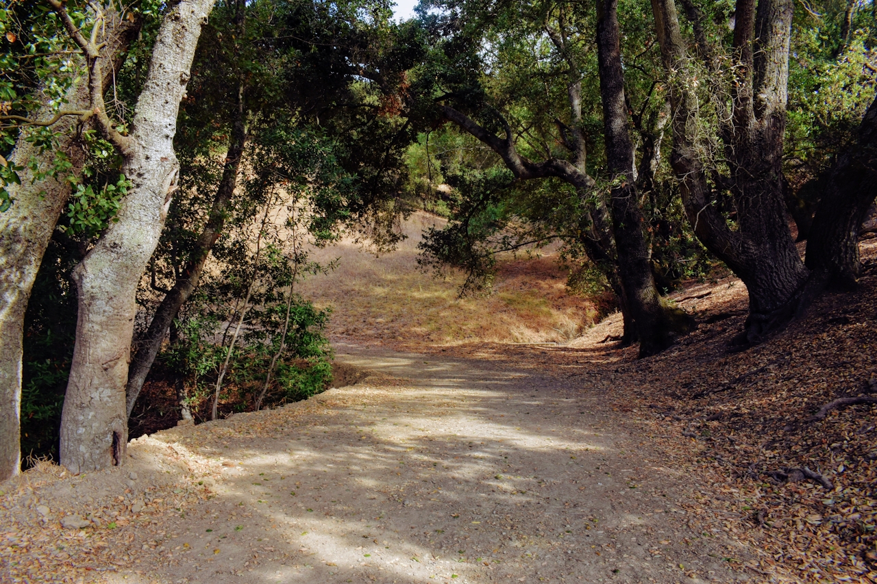
From the Bear Creek Road Staging Area take the Abrigo Valley Trail, just past Oak Grove Picnic Area and through the cattle gate. Walking along the trail conjures images of the Wild West, with stark golden hills galloping out in every direction and bushy oak outcroppings flecking the vast backdrop. At the Maud Whalen Campsite the Abrigo Valley Trail meets up with the Mott Peak Trail. Take Mott Peak up and through another cattle gate. The trail levels off and wraps around the hill before you reach its end point, and the views!
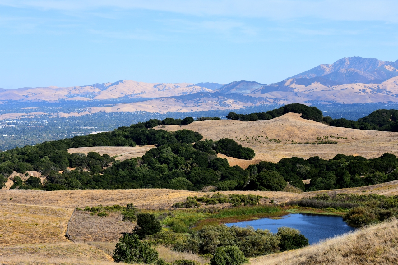

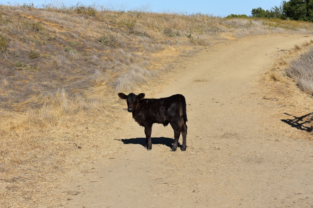
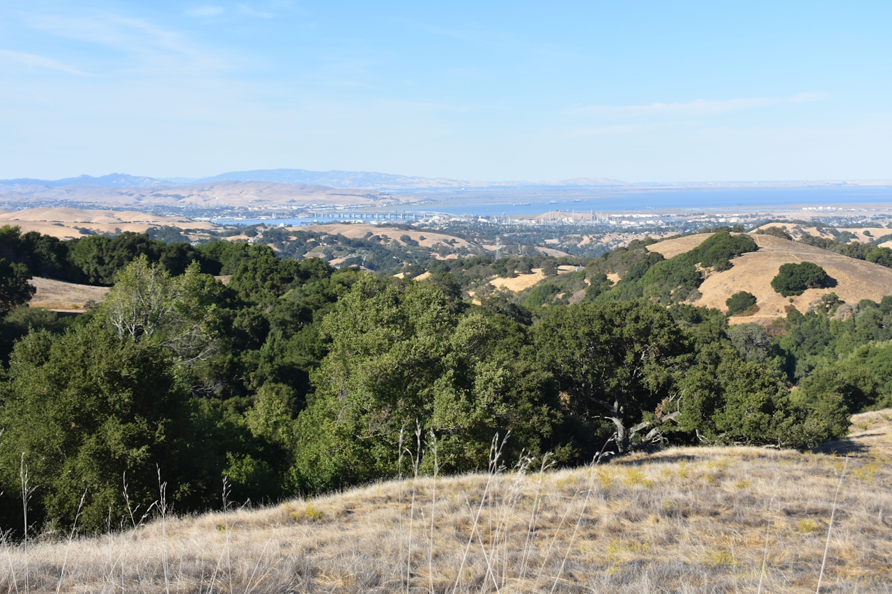
From up here, countryside and watershed extend to the Delta, with the Benicia-Martinez Bridge seen in the distance. Herds of cattle rest and stare (or glare) at you from every direction. Their little calves follow curiously nearby, while some of the elders swim in the lagoons and chomp on the trail’s bounty. From the Mott Peak Trail, take the Briones Crest Trail to the left across the ridge until it meets back with the Abrigo Valley Trail. It’s all downhill from here … with a whole lot of mooing as your soundtrack.

Park at the Bear Creek Staging Area. Parking fee is $3.00. Pick up a map at the staging area from a park attendant. Dog-friendly (but note there are a lot of cattle on the trail).

Trending Stories NorCal

View all Stories
  1. Woman with her arms outstretched to the rolling hills scenery while on a rock outcrop at Barnabe Peak in Samuel P Taylor Sate Park in Marin

    Barnabe Bonanza

    Sure, there are higher mountains in Marin (Mount Tam) and easier ascents (Mount Burdell), but is there a more expansive North Bay view? Barnabe Peak in Samuel P. Taylor State Park offers a glorious panorama including Mount Tam, Mount Diablo, and Mount St. Helena.

    View
  2. Tamtastic Sunset

    Sure, the East Peak of Mount Tam is absolutely spectacular at sunset, but some magic-hour enthusiasts head to a nearby spot, Trojan Point, for a little more personal space in their panoramic viewings.

    View
  3. Hiker on the SCA trail in Marin Headlands with view of the Golden Gate Bridge

    Headlands Over Heels

    People come from all over the world to get a glimpse of the Golden Gate Bridge. Get a dramatic and novel view of the bridge without all the people on this moderate 6-mile hike in the Marin Headlands.

    View

Trending Stories SoCal

View all Stories
  1. Woman hiking the San Onofre Bluffs Loop Trail to San Onofre State Beach in San Diego County

    Bluffing Good!

    Lovely coastline, beautiful beaches, unique geological history, and picturesque sandstone cliffs with limited foot traffic in San Diego County? Head to San Onofre State Beach and the 5-mile San Onofre Bluffs Loop Trail.

    View
  2. Can We Get a Whoop Whoop!

    City, mountain, and ocean views all in one hike? Whoop whoop! It’s no surprise the the Kenter Fire Road and Whoop-de-Doos Trail (a combo of fire road and singletrack) is a favorite among local mountain bikers and hikers alike.

    View
  3. The Big Chill

    In LA, finding a place to chill can be the ultimate flex. So flex, in Franklin Canyon! This unexpected oasis has plenty of shade, cool lake breezes, and ample picnicking spots. Enjoy it on an easy-going 1-mile stroll along its reservoir and duck pond.

    View