Hike or Bike the Skyline

Hike or Bike the Skyline Watershed Ridge Trail

A new section of the Bay Area Ridge Trail is open for biking, hiking, or horseback riding along the 12-mile (out-and-back) Skyline Watershed Ridge Trail.
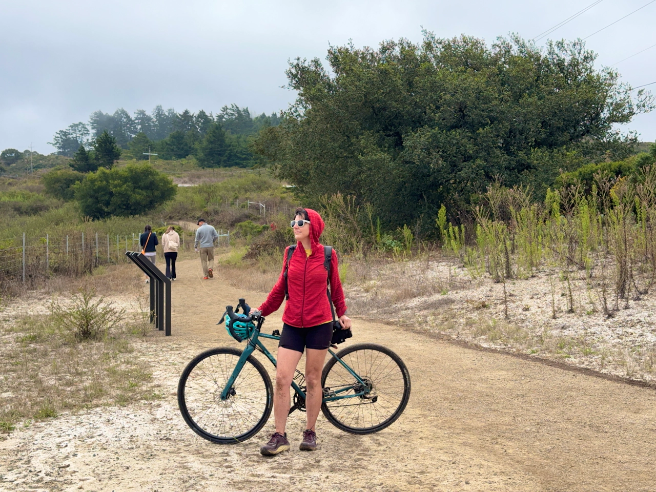
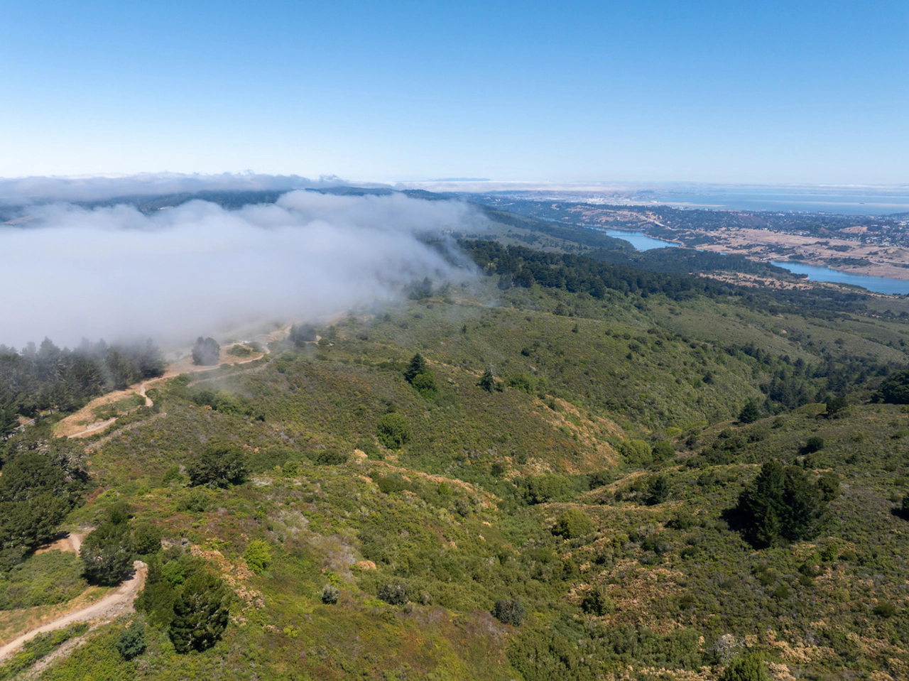
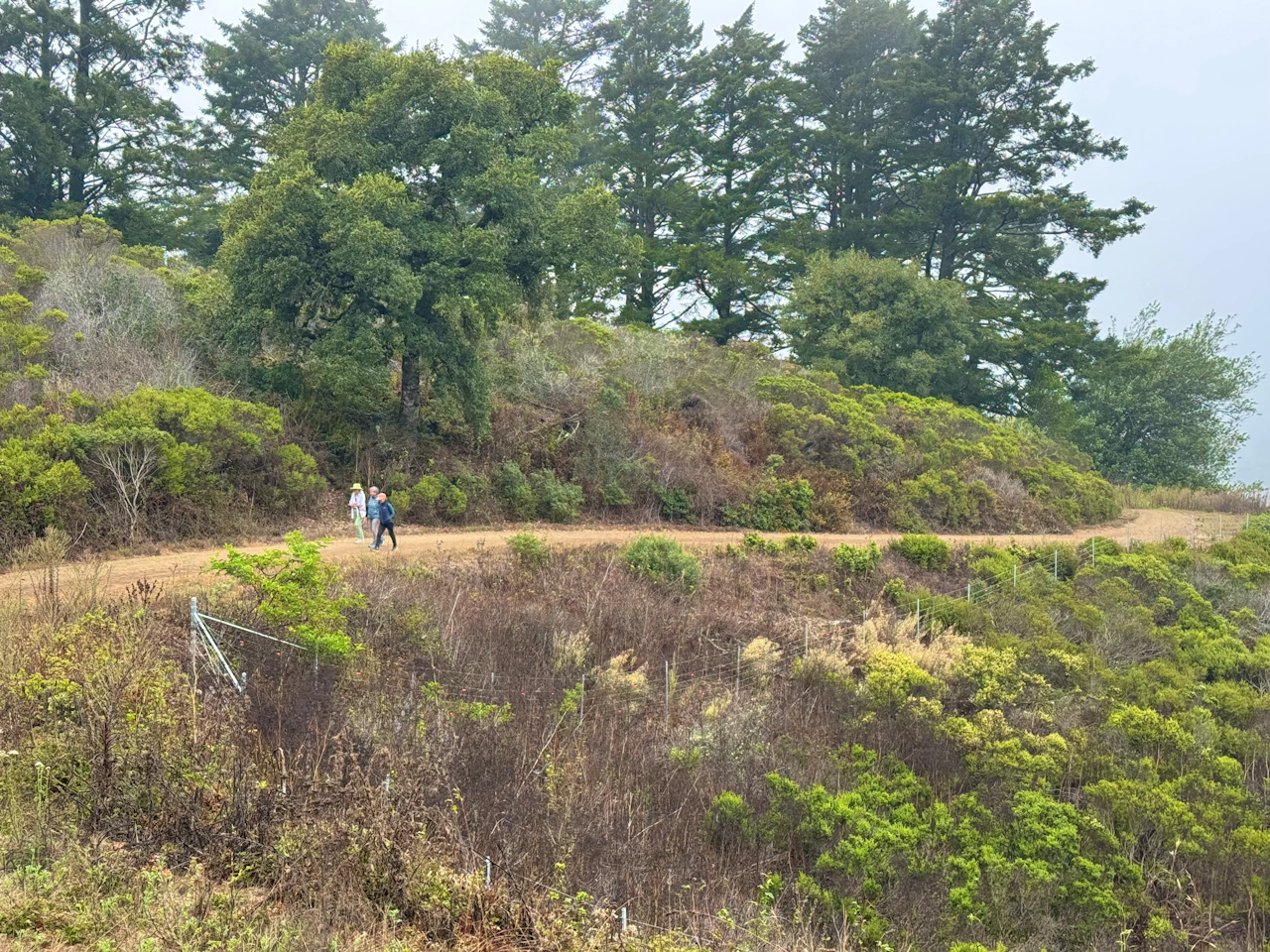
From the Skyline Watershed Ridge Trail parking area, head south to begin your journey. The crushed-gravel path is a smooth ride and a perfect route for beginners to dip their toes into gravel or mountain biking. To the left, the vivid blue Crystal Springs Reservoir is visible far below.
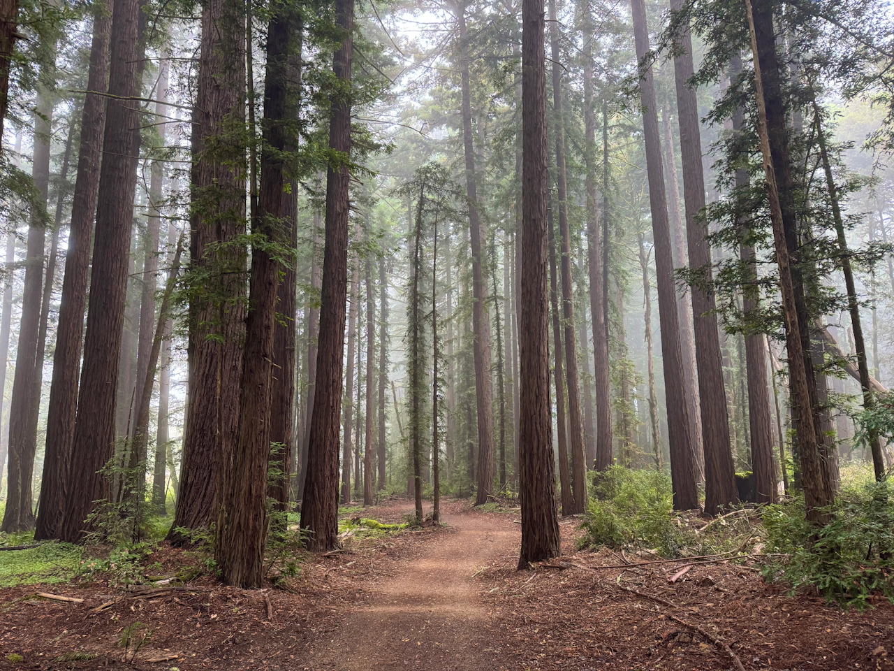
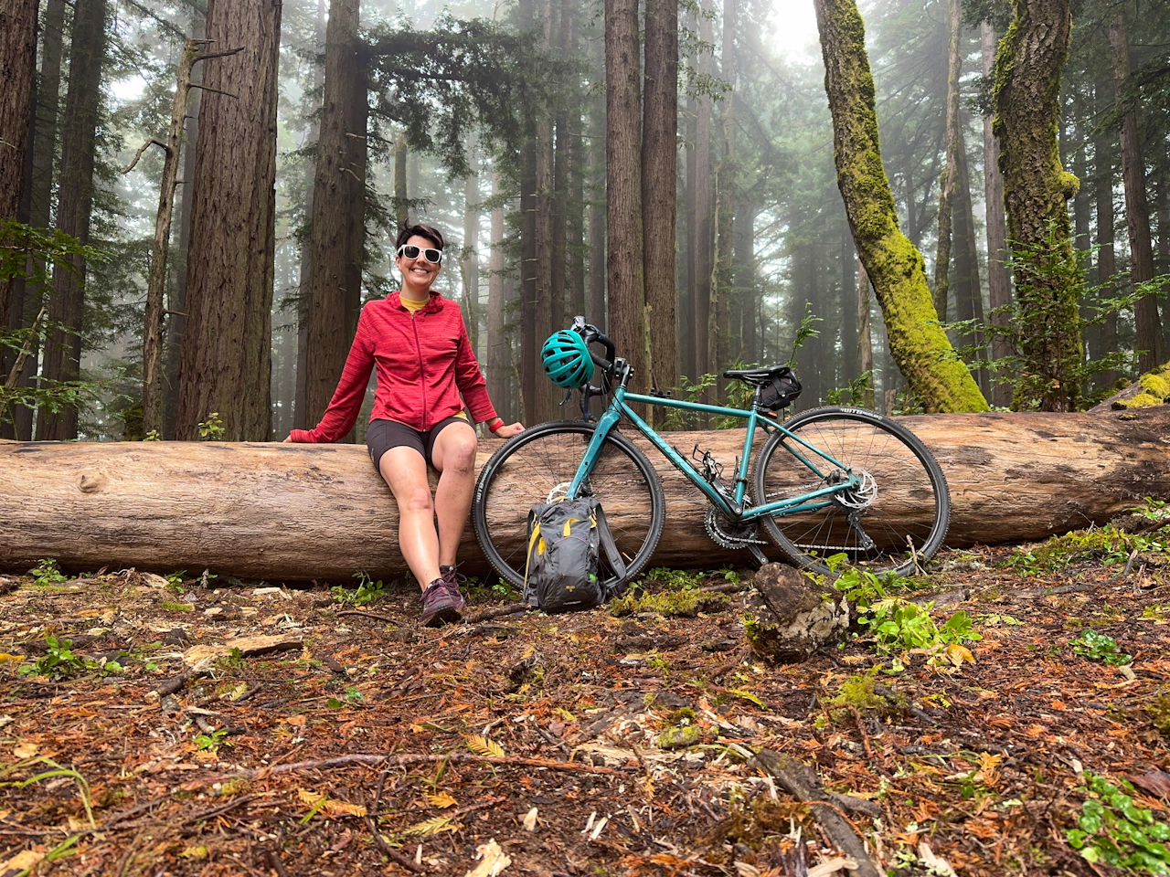
The rolling hills lead cyclists past fields of lush wood sorrel and deep into the redwoods. Though the trail follows Skyline Boulevard, the beautiful, towering forest gives the impression you’ve been transported far away from civilization.
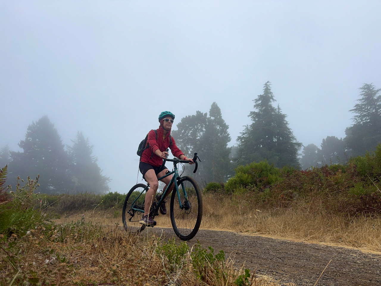
After climbing 1,200 vertical feet and pedaling nearly six miles, the trail levels out and dead-ends at a boundary gate. (A connecting trail to Purisima Creek Redwoods Open Space is planned.)
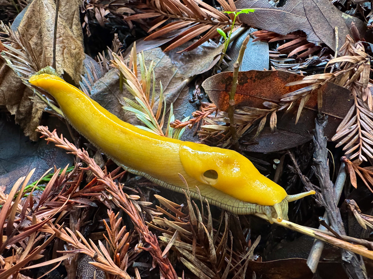
Take a breather and snap a photo beside one of the redwood forest’s most endearing critters: our massive banana slugs.
What goes up must come down, and cyclists can now enjoy a relaxing cruise as they descend the hills they just climbed. Retrace the route all the way back to the parking lot.
The Skyline Watershed Ridge Trail parking area is located at 4351 Skyline Boulevard in Redwood City. Map. The gate is open from 6 a.m. to 6 p.m. No dogs. Pit toilets are located at mile 2 and mile 5. Parking is free, but a permit is required.
Story and photos by Heather Werner, @heath.er.wer.ner


Trending Stories NorCal

View all Stories
  1. Sponsored

    Chasing Dark Skies: Southern Oregon

    Hot springs, hiking, lodging, antelope, and one of the world’s best places for looking up at night.

    View
  2. Woman with her arms outstretched to the rolling hills scenery while on a rock outcrop at Barnabe Peak in Samuel P Taylor Sate Park in Marin

    Barnabe Bonanza

    Sure, there are higher mountains in Marin (Mount Tam) and easier ascents (Mount Burdell), but is there a more expansive North Bay view? Barnabe Peak in Samuel P. Taylor State Park offers a glorious panorama including Mount Tam, Mount Diablo, and Mount St. Helena.

    View
  3. Tamtastic Sunset

    Sure, the East Peak of Mount Tam is absolutely spectacular at sunset, but some magic-hour enthusiasts head to a nearby spot, Trojan Point, for a little more personal space in their panoramic viewings.

    View

Trending Stories SoCal

View all Stories
  1. Lagoon Swoon

    We all love an underdog story, especially in the shadow of the greats. Enter a truly SoCal coastal version: Malibu Lagoon State Beach. Though situated next to Surfrider Beach, a fa

    View
  2. Woman hiking the San Onofre Bluffs Loop Trail to San Onofre State Beach in San Diego County

    Bluffing Good!

    Lovely coastline, beautiful beaches, unique geological history, and picturesque sandstone cliffs with limited foot traffic in San Diego County? Head to San Onofre State Beach and the 5-mile San Onofre Bluffs Loop Trail.

    View
  3. Tahoe's Trio of Lake Vistas

    They say good things come in threes, and it’s true when you embark on this 8-mile (round-trip) hike in Tahoe’s Desolation Wilderness. It gives you three excellent lake vistas: Eagl

    View





