A Rainbow Connection
Hiking Owl Canyon Trail in Rainbow Basin Natural Area


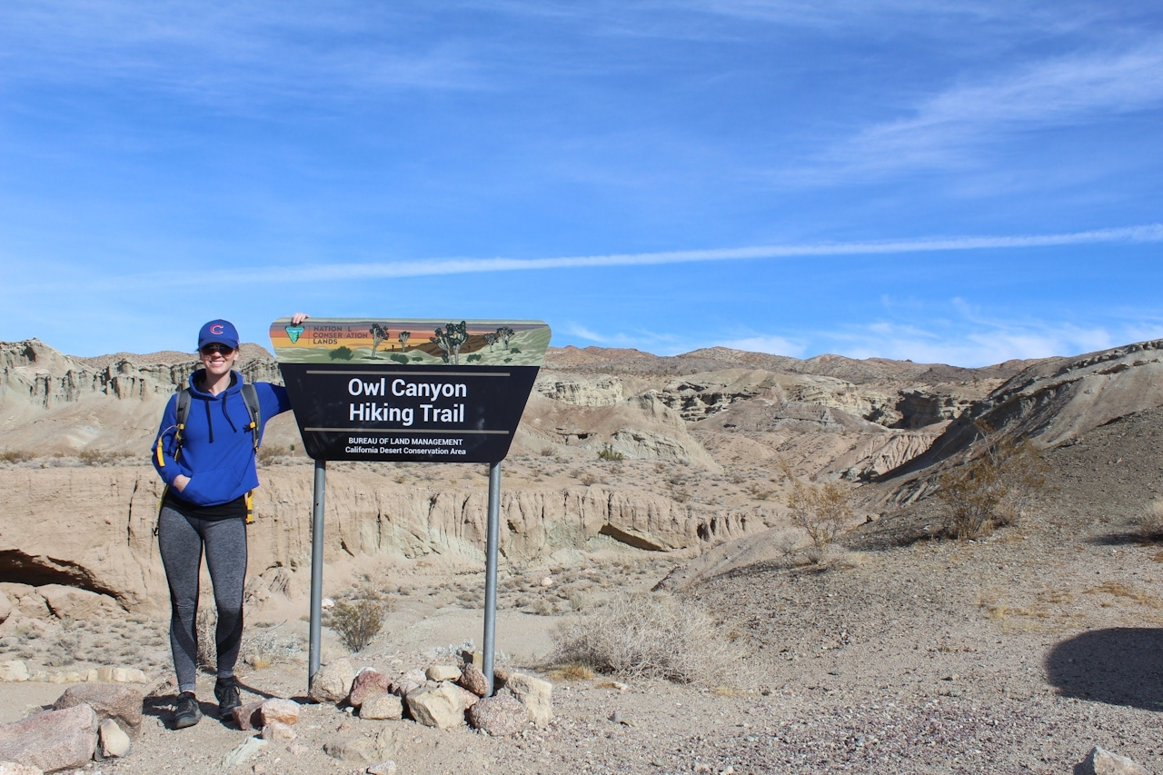
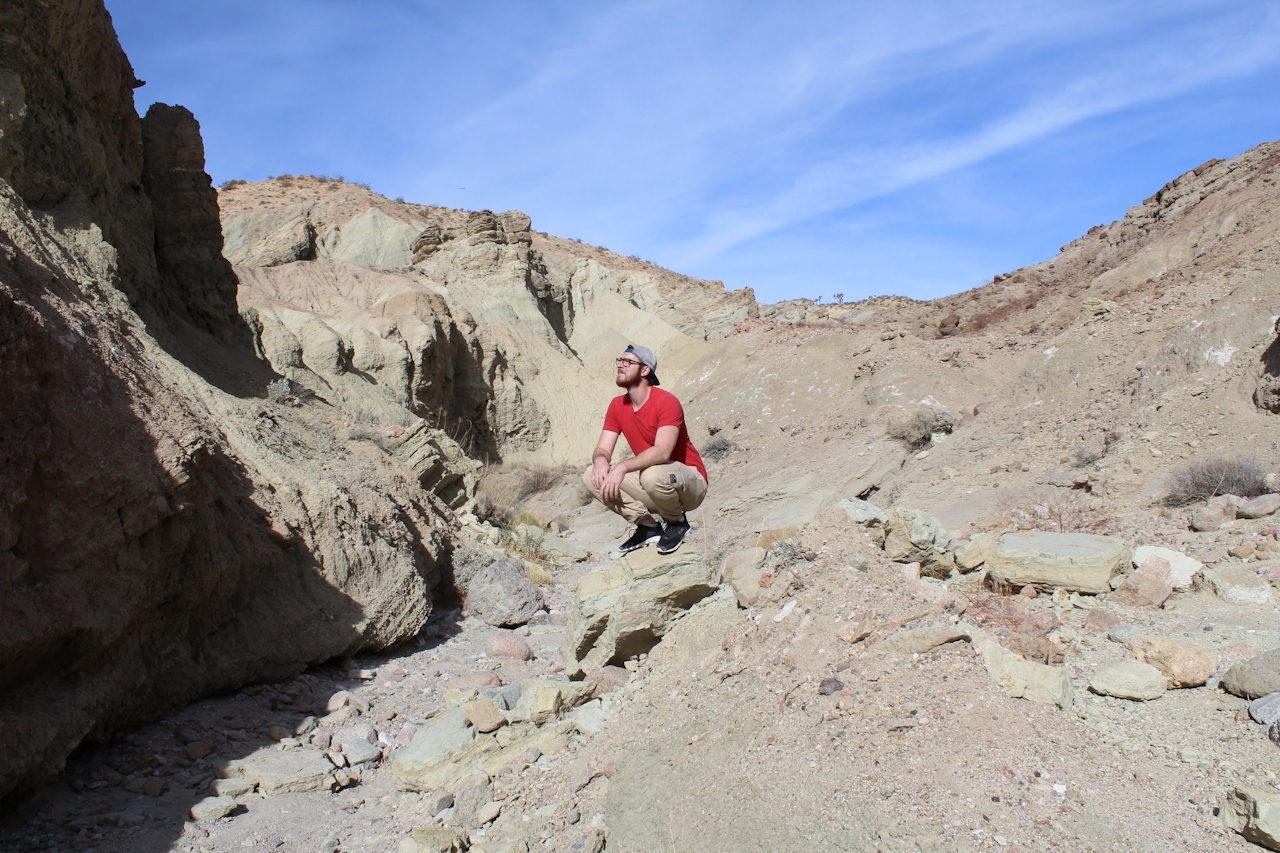
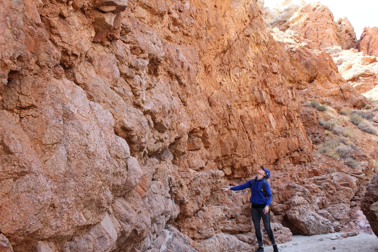
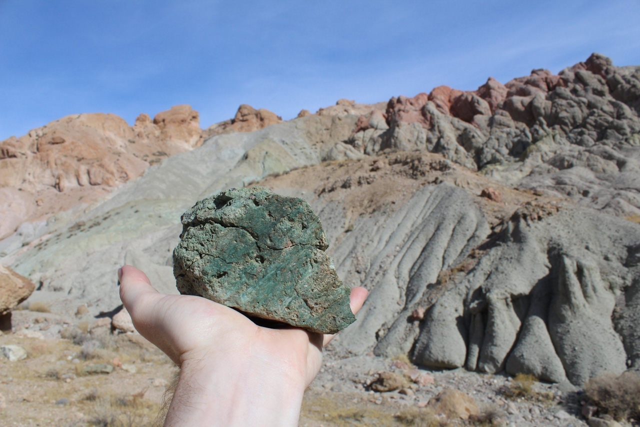
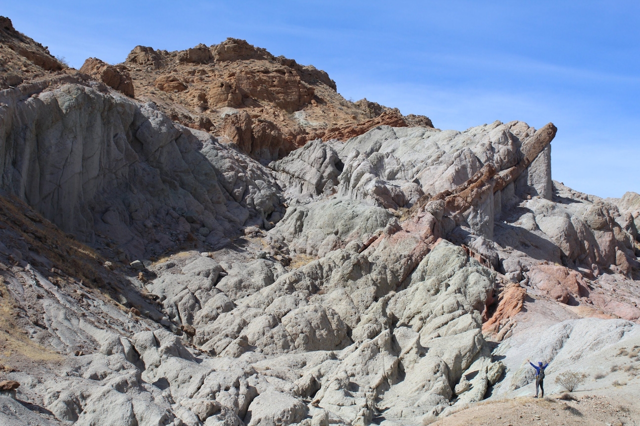
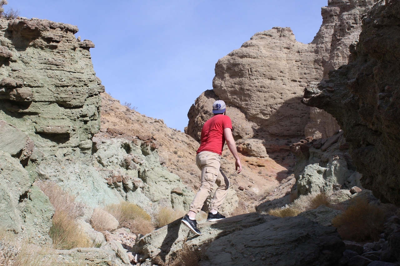
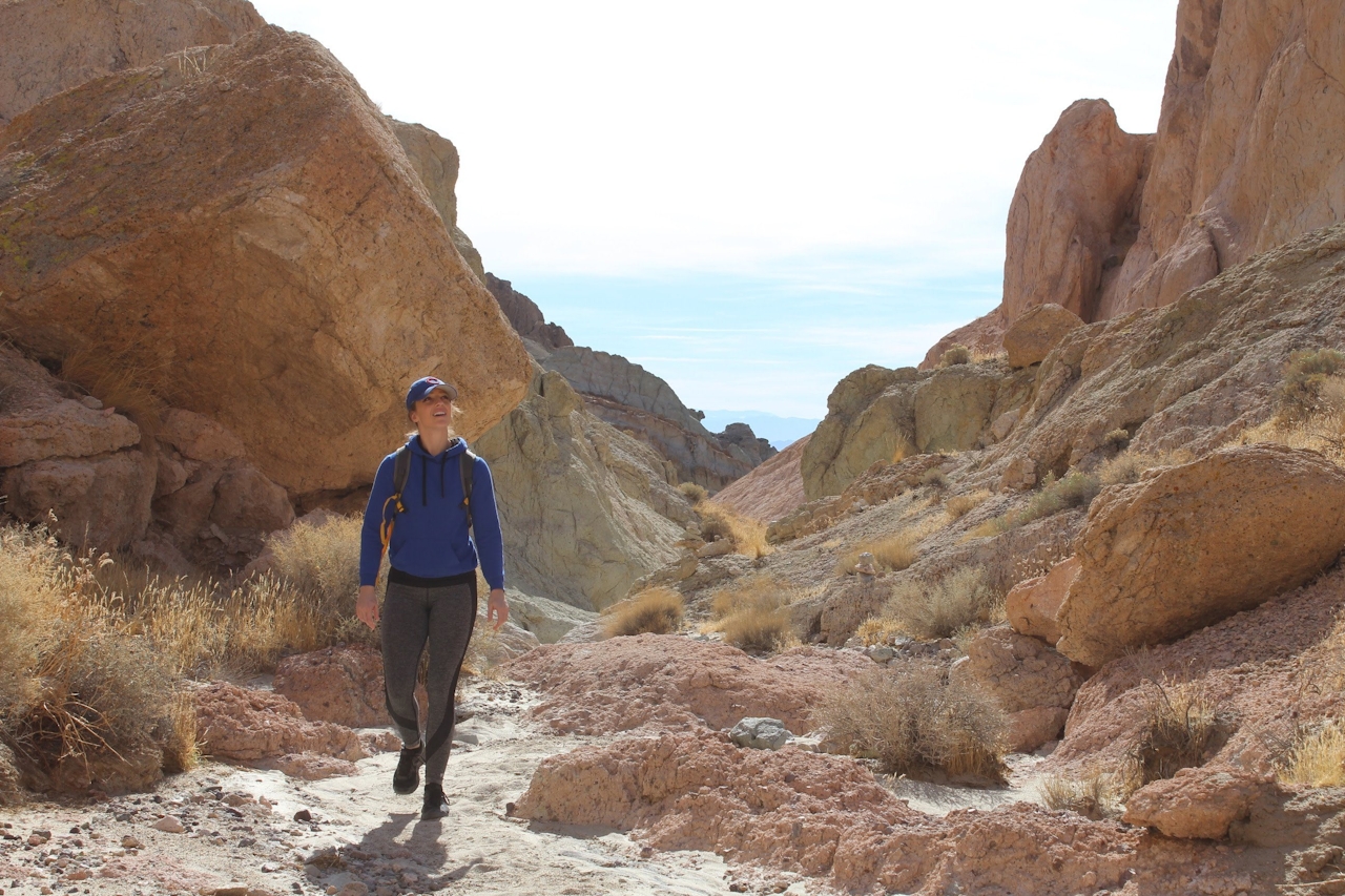
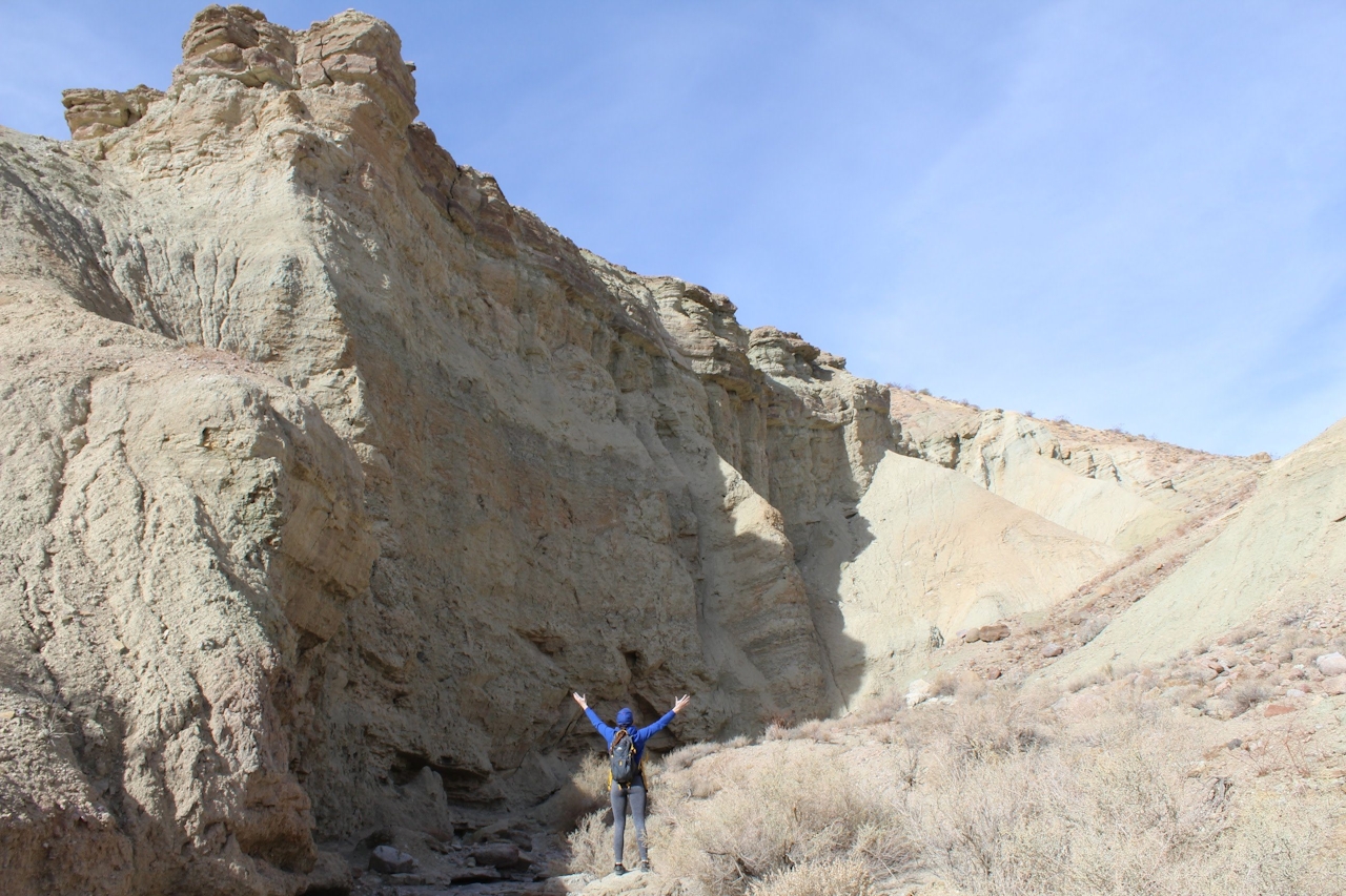
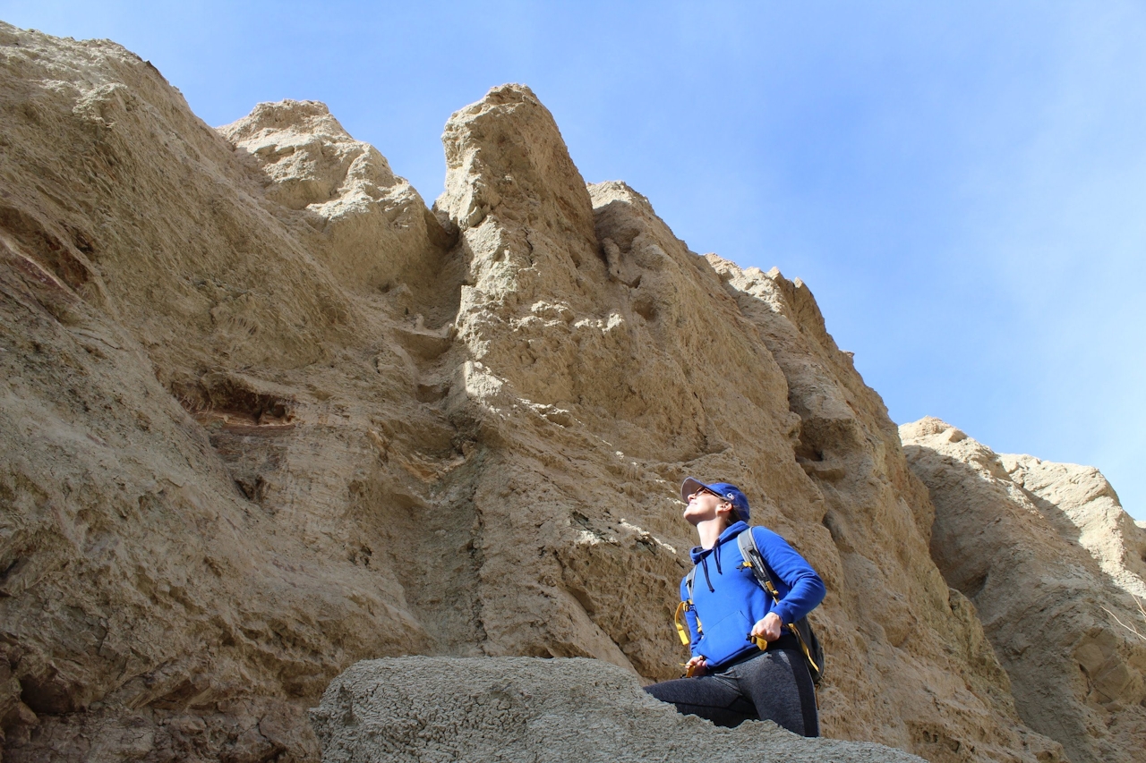
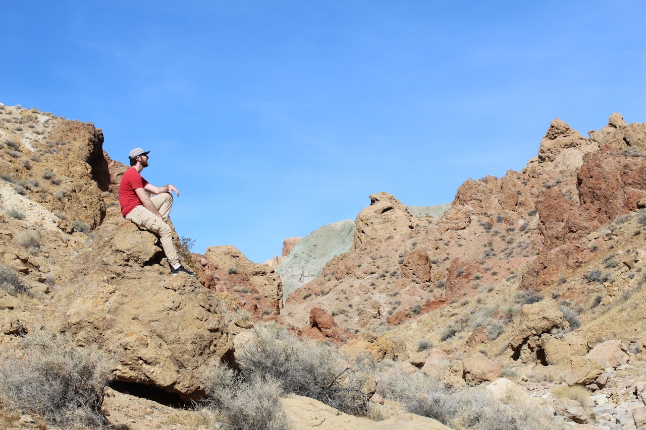
A place called Rainbow Basin Natural Area certainly suggests a glorious radiance of color, and this remarkable desert area north of Barstow doesn’t disappoint. A hike on Owl Canyon Trail takes you on a journey through the sunburnt oranges and deep reds of its sandstone formations, coupled with the green and turquoise shades of its siltstones and ghostly white limestones. They combine in a pageant of sedimentary layers folded diagonally over each other known as the Barstow Syncline. Owl Canyon’s grand open spaces, towering canyon walls, and curvaceous slots are definitely a high-desert highlight.
Officially, Owl Canyon Trail is a 2-mile (round-trip) outing whose terminus is marked by an orange flag with the words “The End.” But if you climb a five-foot dry fall and rock-bound your way into the slot canyon to the left of that flag, you’ll find a whole new leg of the trail that leads another mile into the basin. Call it a rainbow connection! This is where the colors really become vibrant as you enter into an open red canyon that concludes at a turquoise cliff face. Continue past the cliff face and you’ll see an open space of rolling hills and cliffs hanging above where the Barstow Syncline is prominently displayed.
Two miles into the hike you’ll exit the canyon, and the landscape quickly shifts back into standard-issue Mojave Desert rolling hills. Marking this spot is a single Joshua tree on a hill standing above a fork in the trail. Turn back here for a fulfilling 4-mile trek, or continue exploring the vast network of paths in the Rainbow Basin Natural Area.

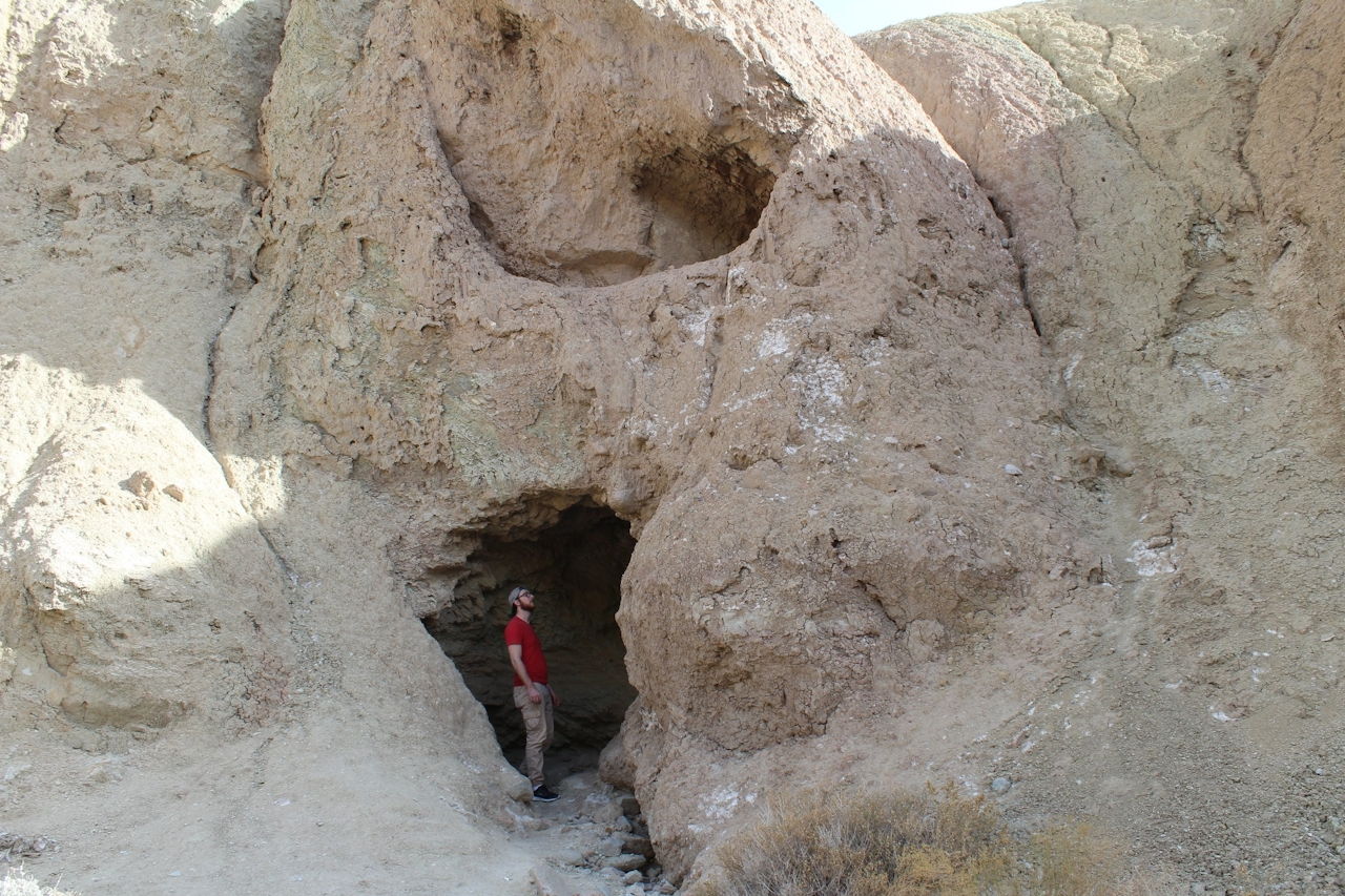
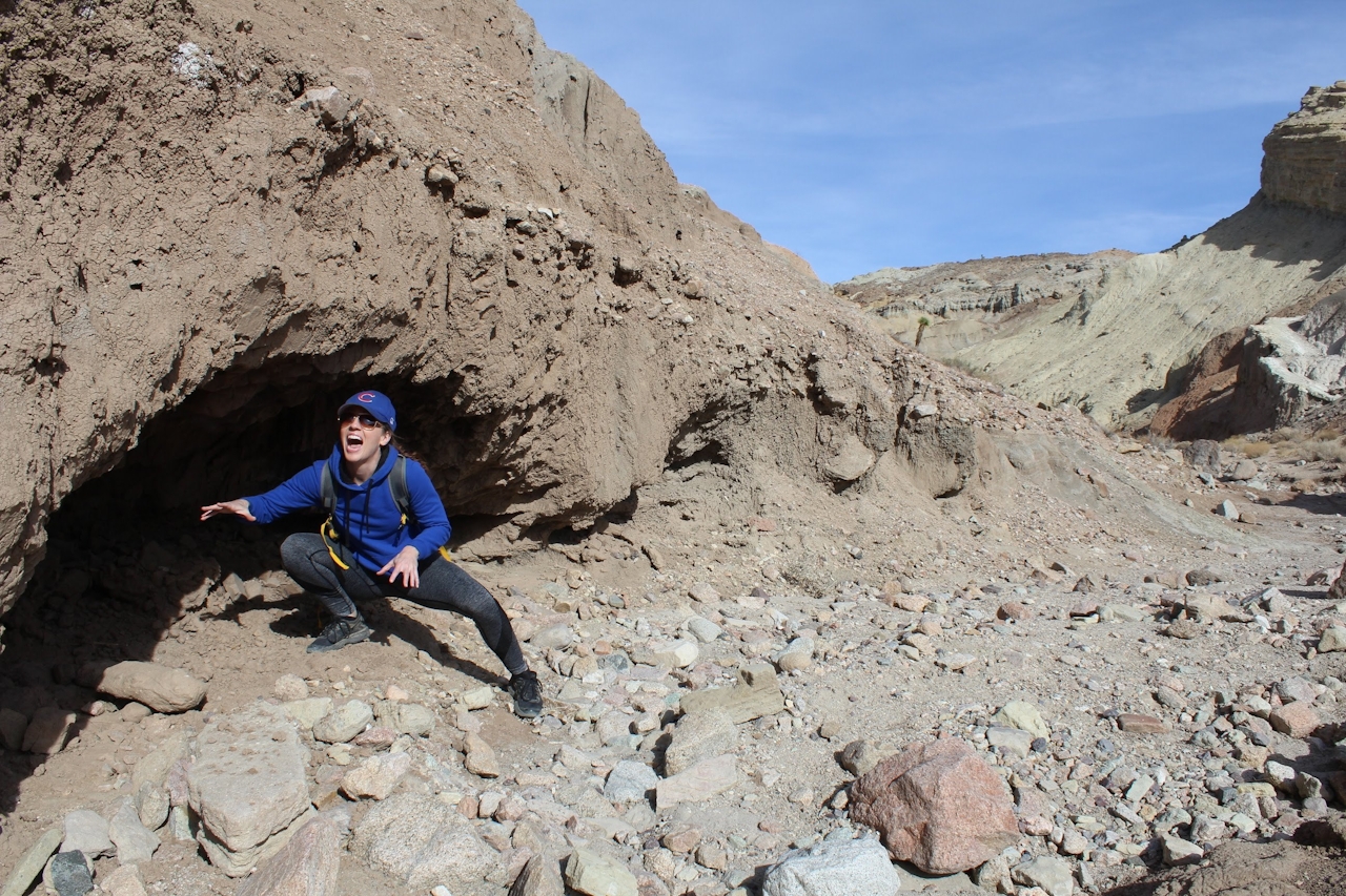
TIP: At the 0.7-mile mark is a small cave that acts as a secret passageway into another area of the canyon with a cool view of a jutting cliff face. It’s a short distance from end to end, but it’s definitely worth bringing a flashlight to enjoy this nifty detour.
Rainbow Basin Natural Area is about 8 miles north of Barstow. From I-15 in Barstow, exit on L Ave. and head north. Turn right on Main St. and then left on 1st Ave. From there it’s a left on Irwin Rd., and another left on Fossil Bed Rd. From here on, it’s all smooth dirt. Turn right on Rainbow Basin Rd. and right again on Owl Canyon Rd. These roads are clearly marked. Take Owl Canyon Rd. through Owl Canyon Campground to its end, where you can park at the signed trailhead. No fee unless you’re camping overnight. Dog-friendly!







