Eyepopping Poppies
Hiking Midland School Trails to the Poppies of Grass Mountain


Poppies! Lots and lots of poppies. Reaching the top of Grass Mountain near Santa Ynez feels like approaching the Emerald City in the Land of Oz—only crossing this poppy field won’t put you to sleep!
This 5.3-mile (round-trip) out-and-back trail, part of the Midland School trail network, is billed as strenuous, and that is no joke. It starts off relatively flat and pleasant, paralleling Birabent Creek through oak woodland, but it quickly gets more intense, especially in the last mile, climbing 2,380 feet if you go all the way to the top. Finding the trail is a bit tricky. From the parking area, follow the trail uphill. Shortly you will come to a fork—take the right branch uphill. This part of the trail is the same as the Lover’s Lane Loop Trail. The trail crosses the creek three times and then splits. The trail to Grass Mountain is marked with a wood post that faintly bears the trail name. That is the last trail marker you will see during this hike. You will reach a couple of unmarked forks shortly after that; just keep bearing right.
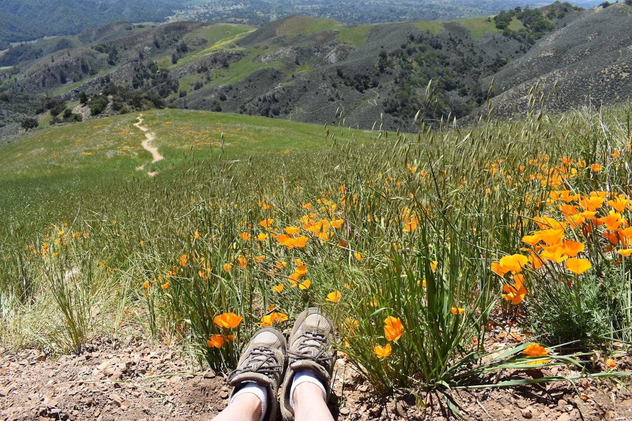
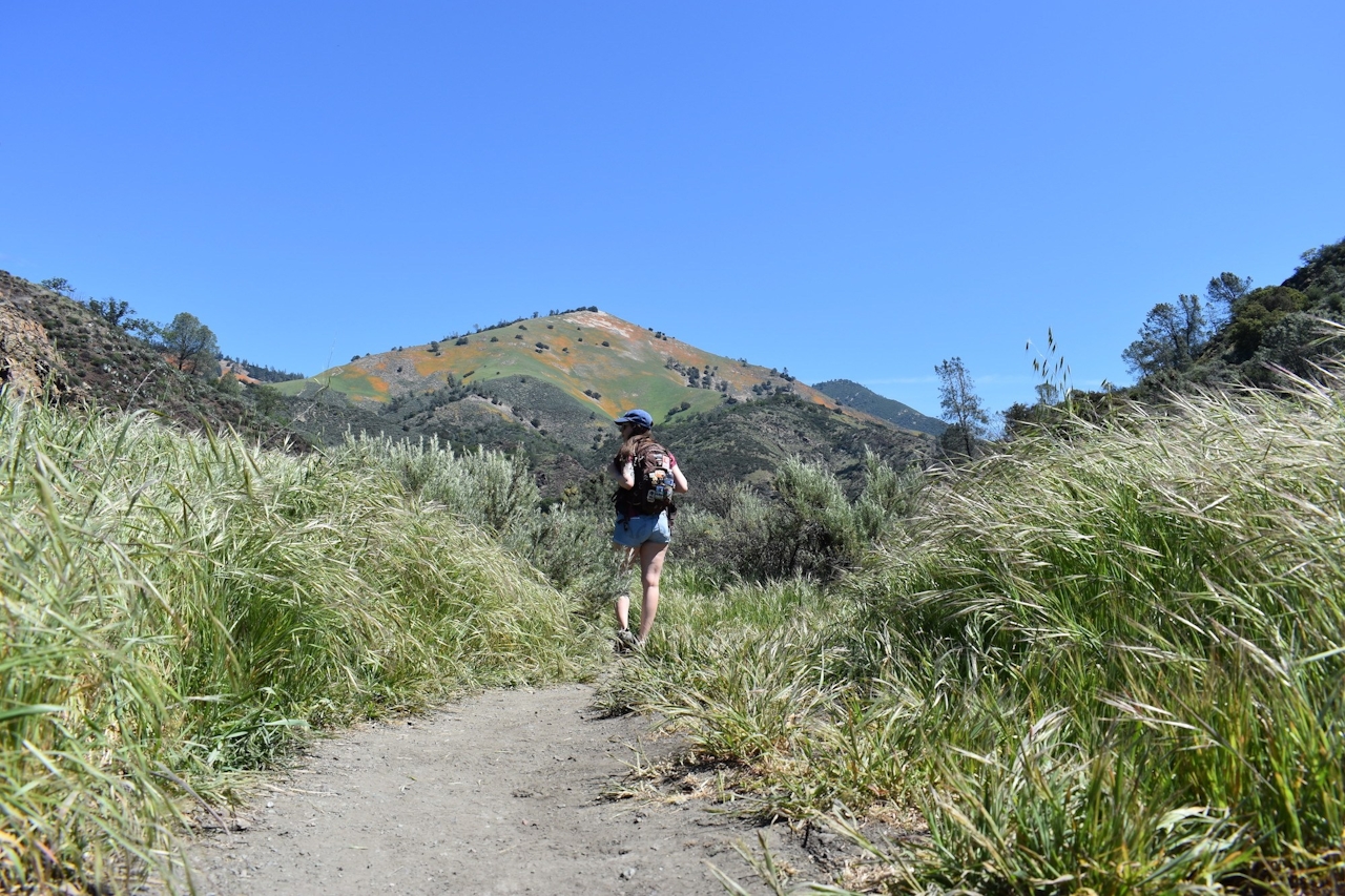
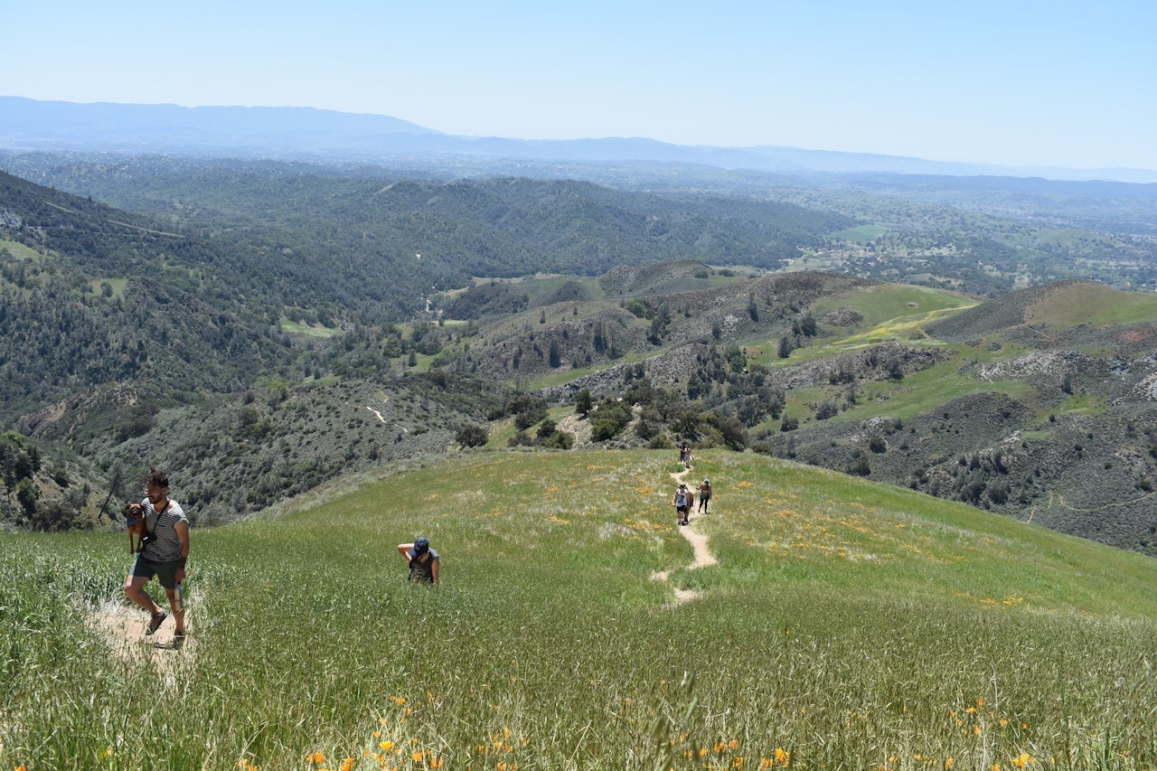
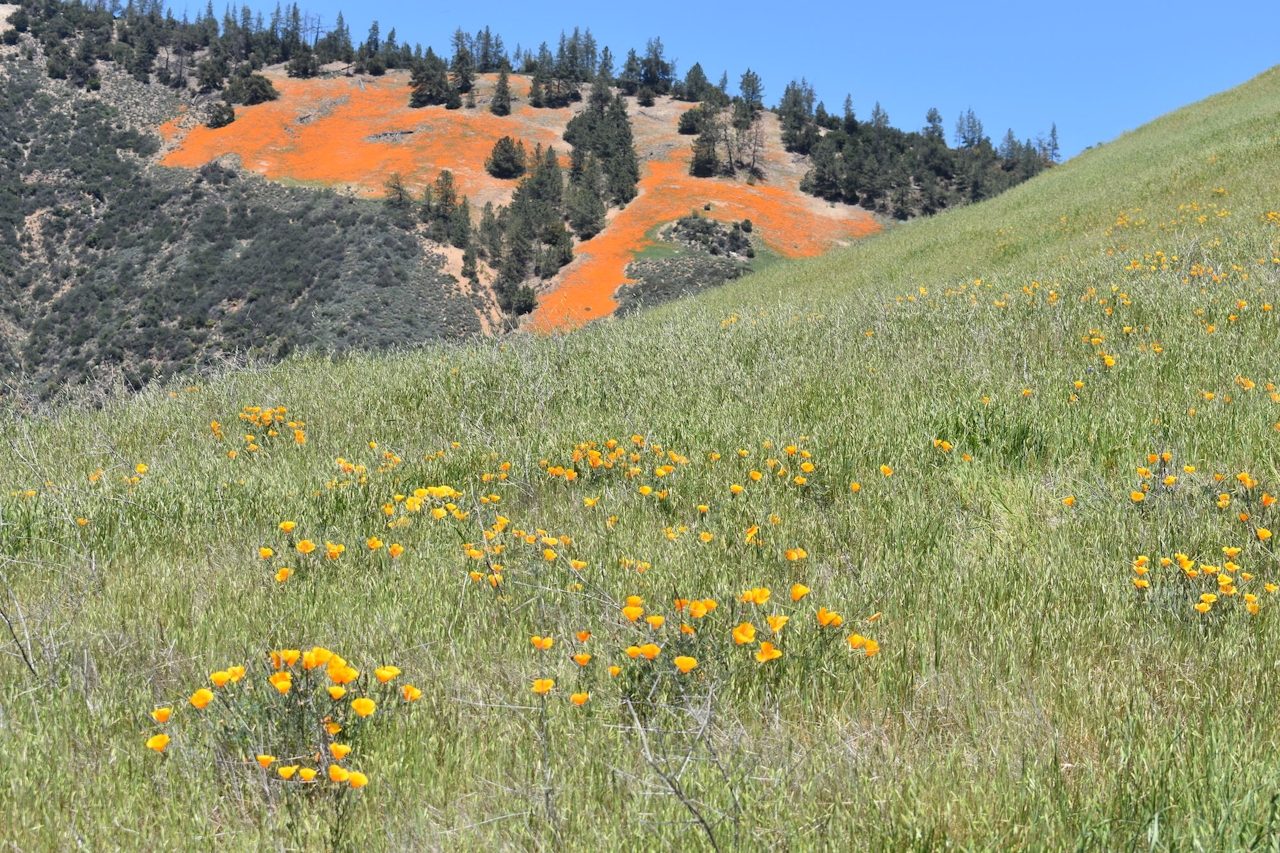
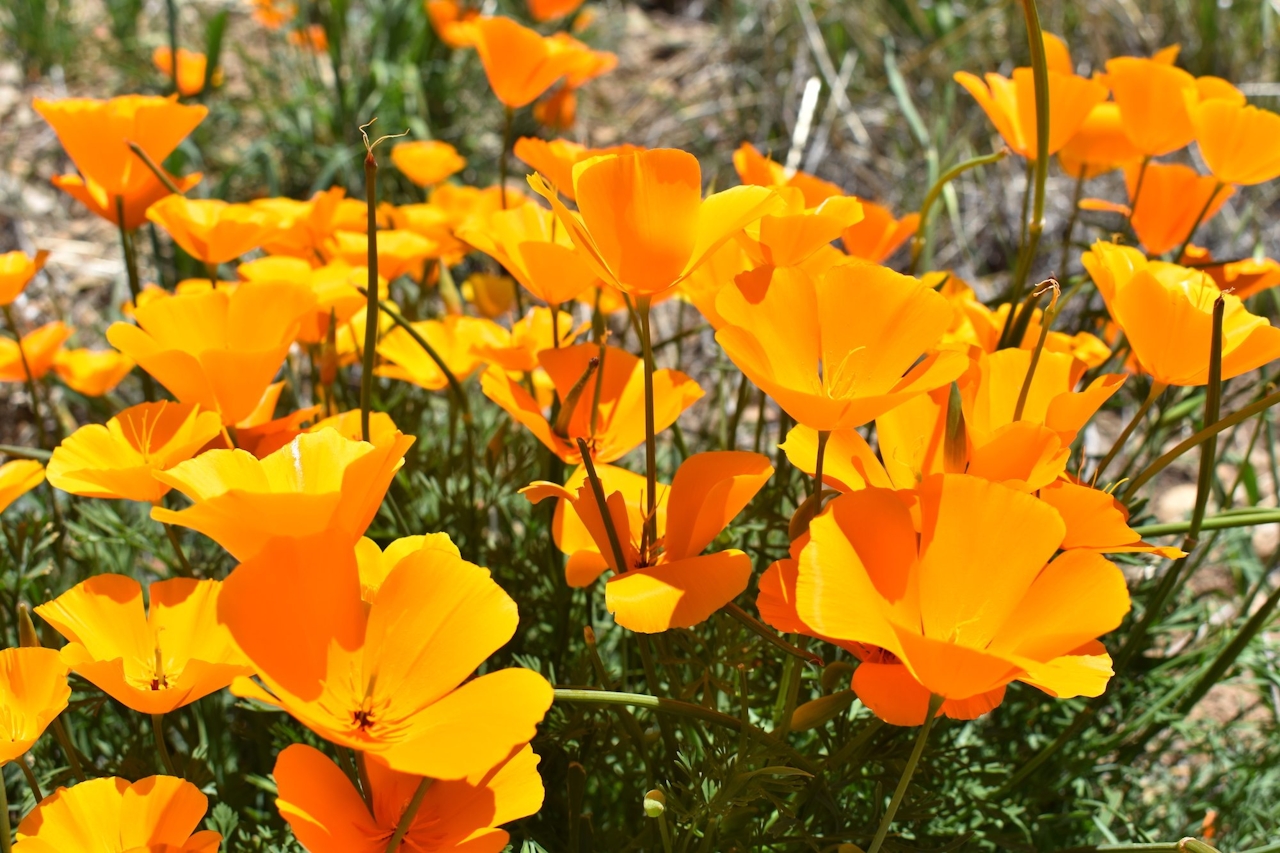
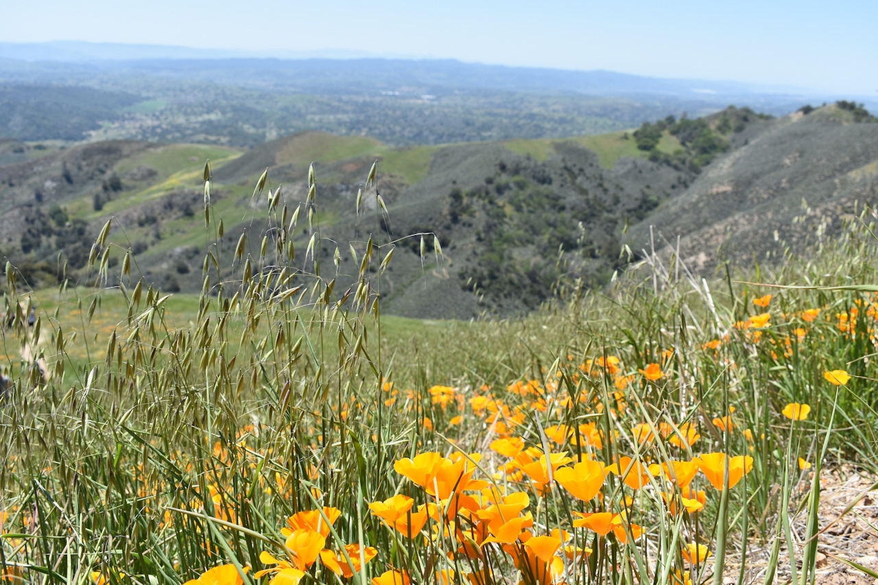
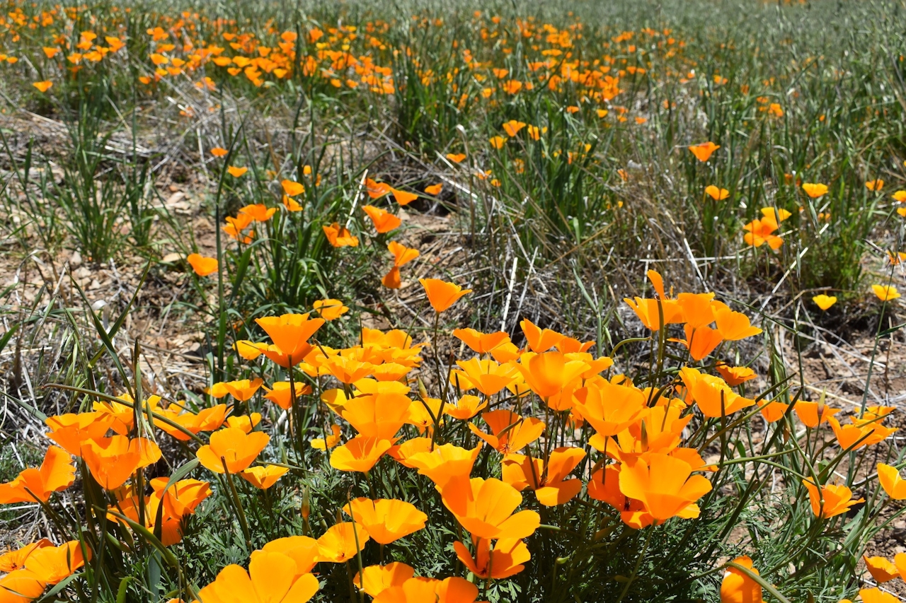
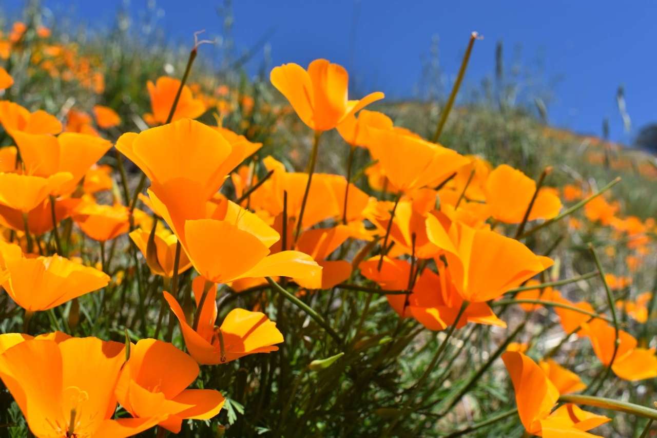
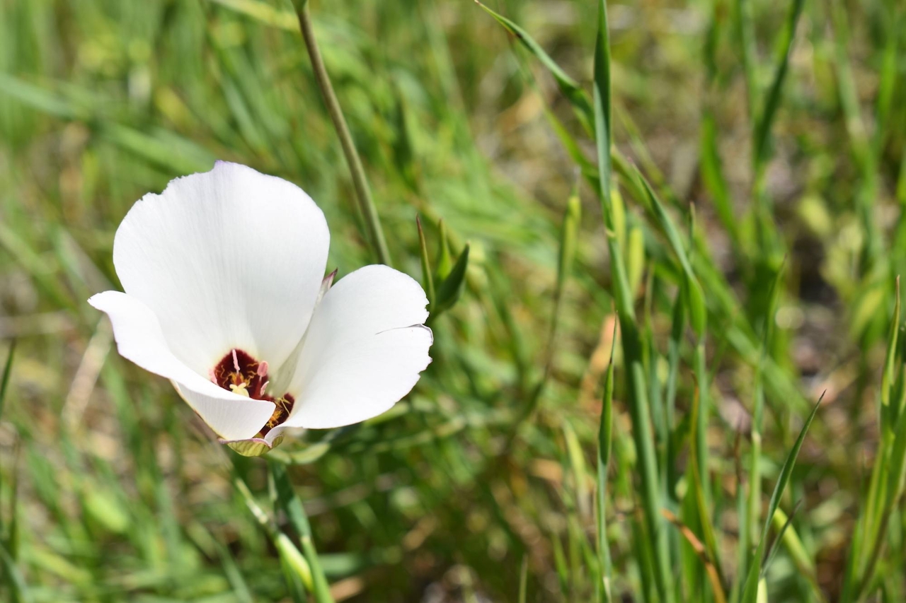
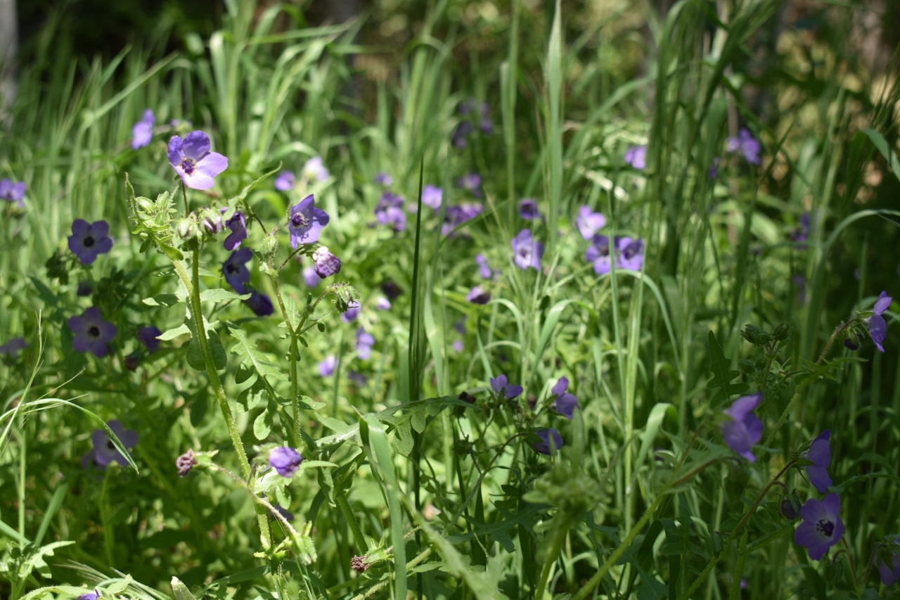
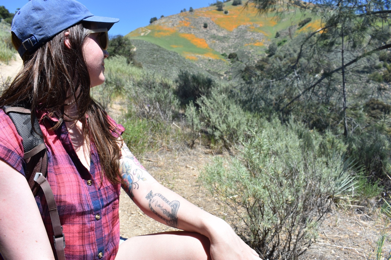
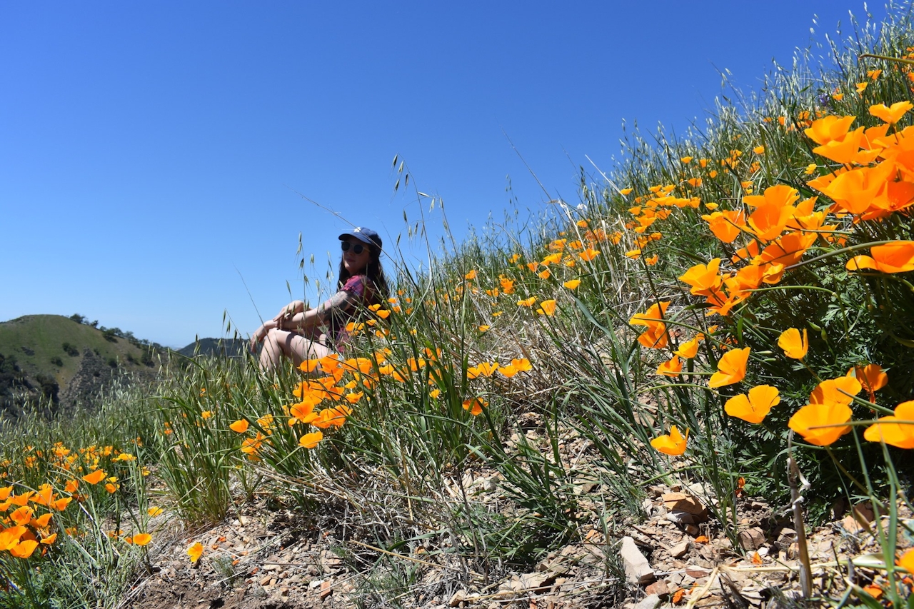
After you exit the shaded canyon, the rest of the trail is straightforward, strenuous, and completely in the sun, with those beautiful California poppies luring you all the while. The final push to the summit is very steep, but you don’t have to go all the way up to reach the poppies. Once you reach that bright orange field and reach for your camera, you’ll indeed feel like you’ve reached the Land of Oz.
Grass Mountain Trail is near Santa Ynez in the Midland School trail system. From CA-154, head north on Figueroa Mountain Rd. After about 5 miles you will pass Midland School on your right. Continue 1.7 miles until you see large dirt parking areas at a horseshoe bend in the road. Park on either side of the bend. Be sure your car is parked completely off the road. The private trail network is owned by the school, and a permit, available at the trailhead, is required to use the trails. Permit and parking are free. Dog-friendly!







