Nisene Quiet
Hiking Forest of Nisene Marks to Maple Falls


The sublime Forest of Nisene Marks State Park is popular for good reason, but head to its far reaches and you’ll be awestruck by the solitude beneath the looming redwoods. The Loma Prieta Grade Trail is the start of a 7.6-mile (round-trip) lollipop loop hike that takes in one of the park’s waterfalls, especially beautiful after rains. Start at George’s Picnic Area, passing around the Winter Gate and walking for about a mile. (In summer, the Winter Gate is open, allowing cars farther into the park, but in winter you have to do a little extra easy walking, which limits crowds).
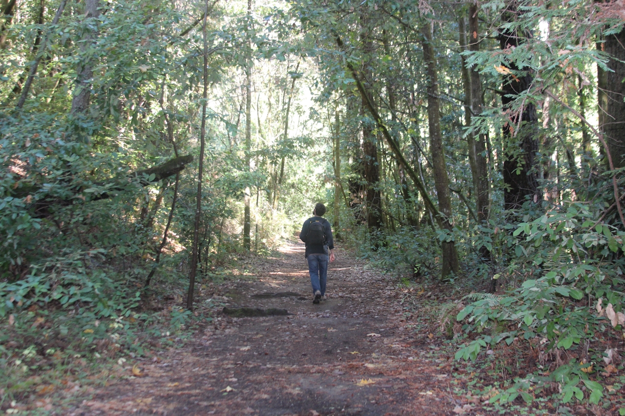
Look for the Porter Family Picnic Area; this is where you’ll find the Loma Prieta Grade Trail. Follow the fern-lined trail along the hills of Nisene Marks, keeping an eye out for resident banana slugs, especially “active” on the forest floor this time of year—watch your step! The trail sees the remains of former logging camps, such as Hoffman’s Historic Site, which once housed loggers and mill workers. Continue on the trail, which eventually loops back to the Bridge Creek Historic Site, where you’ll head north on Bridge Creek Trail to reach Maple Falls within half a mile.
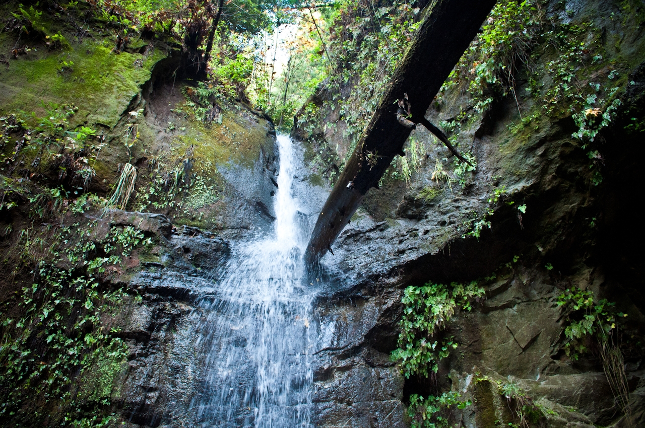
After rains, it’s common for mini-waterfalls to flank the way to the main attraction: Maple Falls is a long and lean flowing beauty dropping down a mossy rock face into a pool surrounded by abundant lush greenery. Loop back to your starting point via Bridge Creek Trail, which connects back to Loma Prieta Grade Trail. Nisene way to spend the day!
STAY: “Bringing the Outdoors In” is the theme throughout Hotel Paradox in Santa Cruz, located downtown on Ocean Street. A massive eucalyptus log serves as the front desk. When the log was first brought into the hotel, everyone was stunned when a squirrel ran out! Since then, the escaped squirrel, nicknamed Simone, has been immortalized in alabaster sculptures on the hotel’s walls. A restaurant and bar, outdoor pool, free beach cruiser rentals, and dog-friendly rooms are highlights.
NOTE: As always, after storms, please check ahead on the website for closures and trail conditions before heading out. Exercise good judgment and caution if trails are wet and slick. Creek crossings can vary, so a spare pair of socks is always a good idea.
The park is located off the State Park Drive exit, 4 miles north of Aptos on Aptos Creek Rd. Pay the parking fee at the entrance station located on Aptos Creek Rd. and drive into the park to George’s Picnic Area, where you’ll find spaces for parking. (In spring and summer, when the Winter Gate is open, hikers can drive farther into the park and find parking at the Porter Family Picnic Area). No dogs.







