A Little Birdie Told You
Hiking El Cariso Nature Trail in Orange County section of the Cleveland National Forest in Southern California


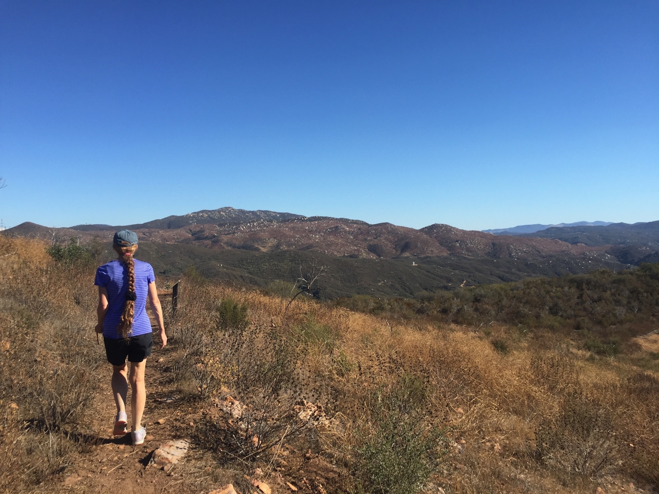
Bordering Orange and Riverside counties, the El Cariso Nature Trail in Cleveland National Forest is like the Twitter of hikes: It packs a lot within its limits. The trail gains 150 feet in elevation within a condensed 1.6-mile loop. For better and worse, the trailhead is right off Highway 74. But soon you’re away from the road, discovering the Santa Anas. The hike begins behind the visitor center, climbing briefly before leveling out to views of the Santa Anas to the north and east, with Decker Canyon to the south. Interpretive signs help lead the way.
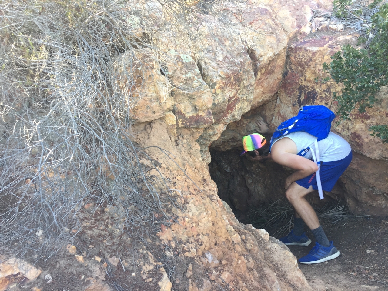
You’ll soon run into an abandoned mine shaft directly off the trail to your left. After crossing a road and passing a segment shaded by Coulter pines, there’s a brief spur trail (signed) leading to a firefighter memorial that’s well worth a visit. Return to the main trail and continue onward, crossing a road again and returning to the visitor center. Tweet all about it!
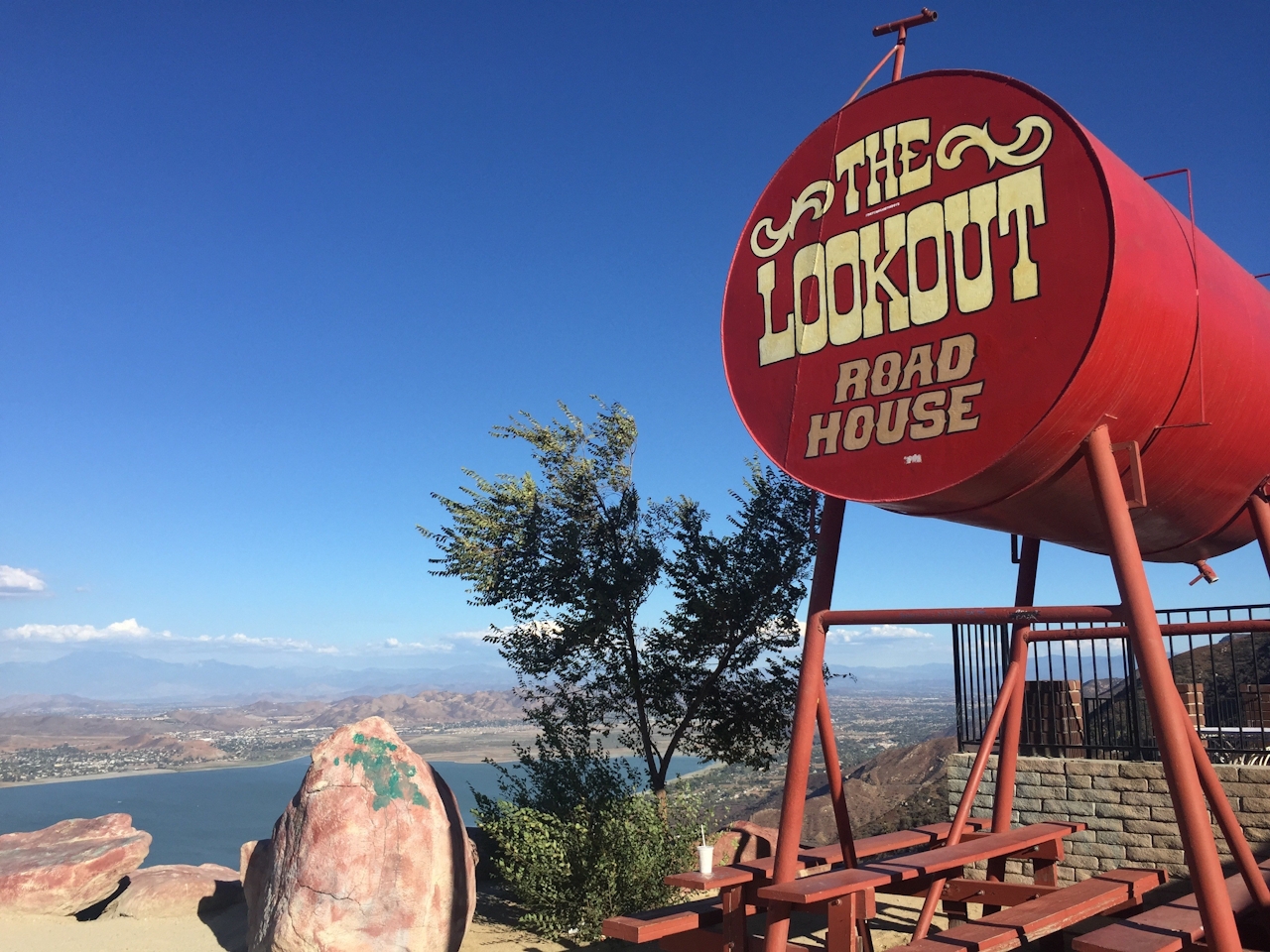

BONUS CAMPGROUND + FOOD & DRINKS: Across Highway 74 from the visitor center sits the first-come, first-served, El Cariso Campground. Its 24 tent-only sites include drinking water, fire rings, charcoal grills, and picnic tables. If you’re hungry and not planning on cooking, head east on Highway 74 to the Lookout Roadhouse, which serves up mouth-watering country breakfasts and jaw-dropping views of Lake Elsinore.
To get to the El Cariso Visitor Center parking lot, take CA-74 east from I-5 or west from I-15 and look for the center and fire station on the south side of the road. Park at the El Cariso Visitor Center, adjacent to the fire station, in one of the handy free visitor spots. If they happen to be taken, park across the street, though here you’ll have to display a National Forest Adventure Pass (which can be purchased at any sports store or the Lookout Roadhouse). Camping is $15/night. Dog-friendly!







