Trail to the Falls
Hike to Trail Canyon Waterfalls in Los Angeles County


Named not for the path leading to it, but for the trail of gold dust that once dominated this area, Trail Canyon Falls just outside of Burbank (Sunland, specifically) is now rich with a liquid asset: a gorgeous 30-foot waterfall. Reach it on a 5.2-mile (round-trip) hike.
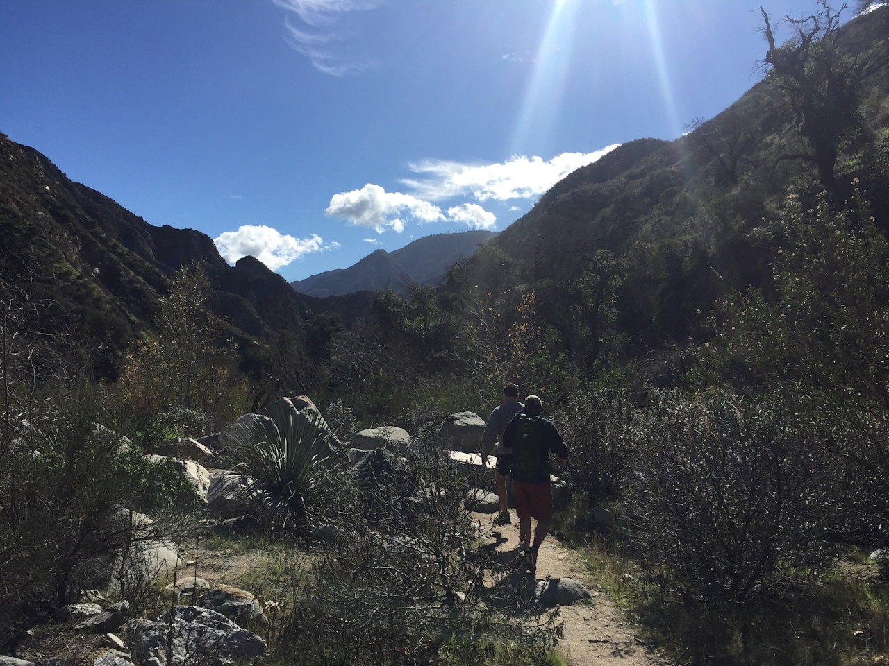
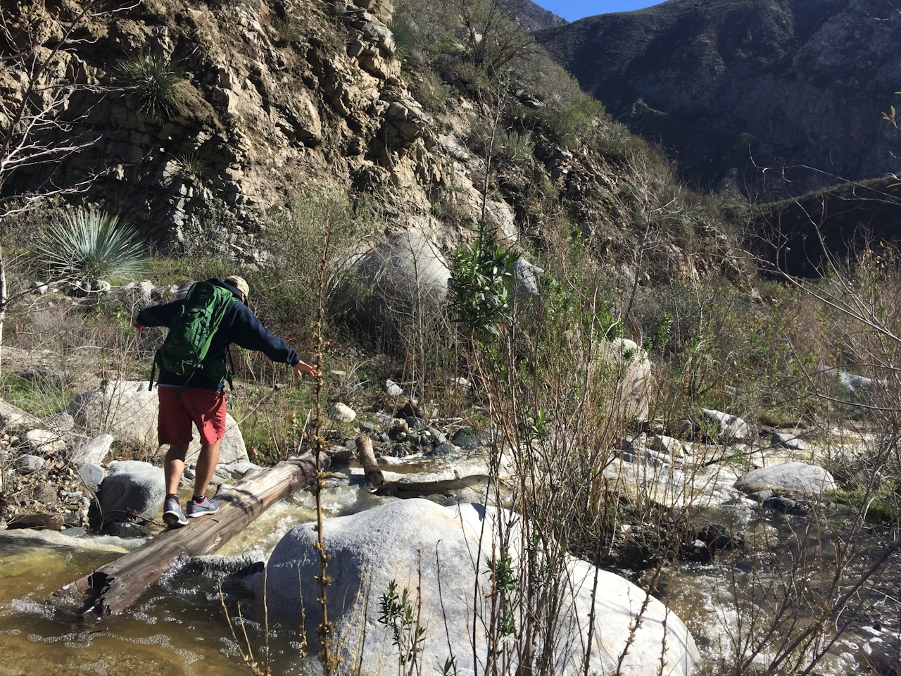
After parking on the dirt road leading up to the trailhead, follow signs (left first, right second) at the two intersections to stay on track. Throughout the hike, yucca, wild flowers, and aromatic herbs cover the ground while trickling falls and green, spongy moss line several damp cliffs above. While the first leg of the hike is moderate, the stream flowing alongside the trail requires crossing—a total of eight times during the ascent.
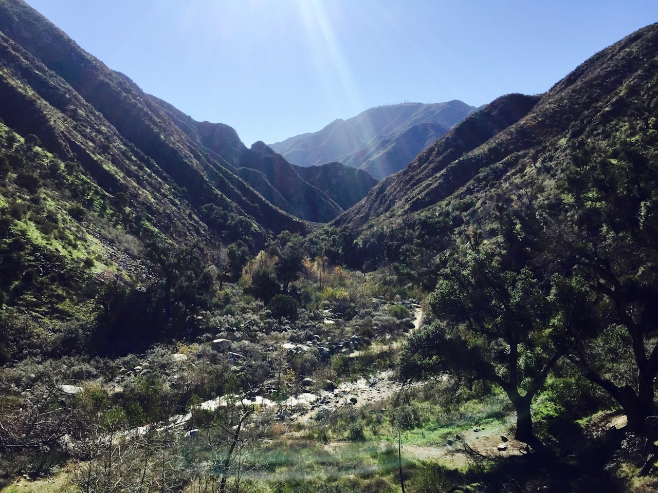
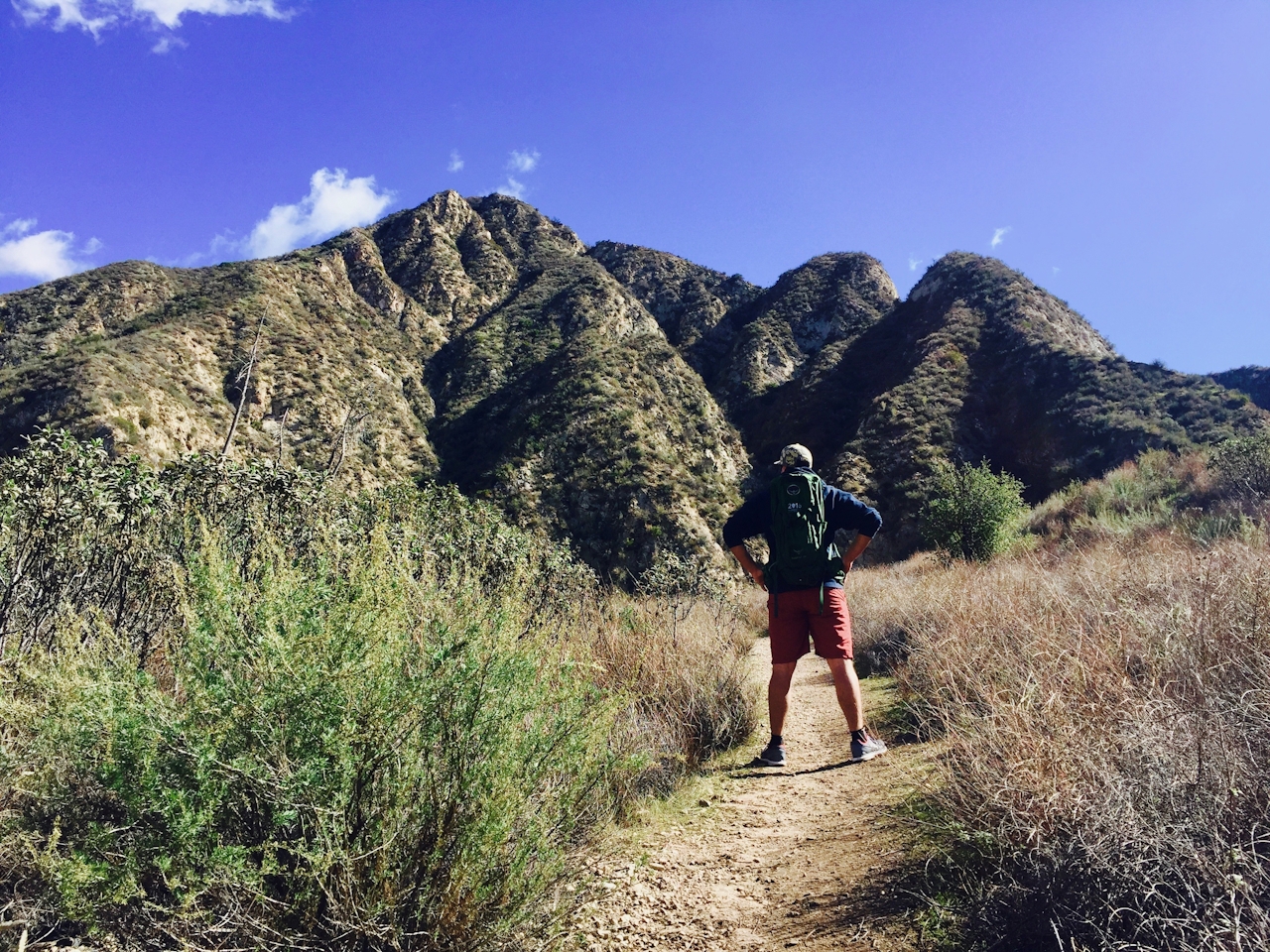
Rocks and logs serve as fairly predictable stepping-stones, but hikers should be prepared to get wet (hiking poles and an extra pair of socks are useful). After the final stream crossing, the trail heads sharply uphill, and at 1.3 miles Trail Canyon Falls comes into view. The vista behind is beautiful as well, with a clear view of the valley below, and Mount Lukens to the south. Follow the trail up to the main overlook directly above the incredible 30-foot gusher.
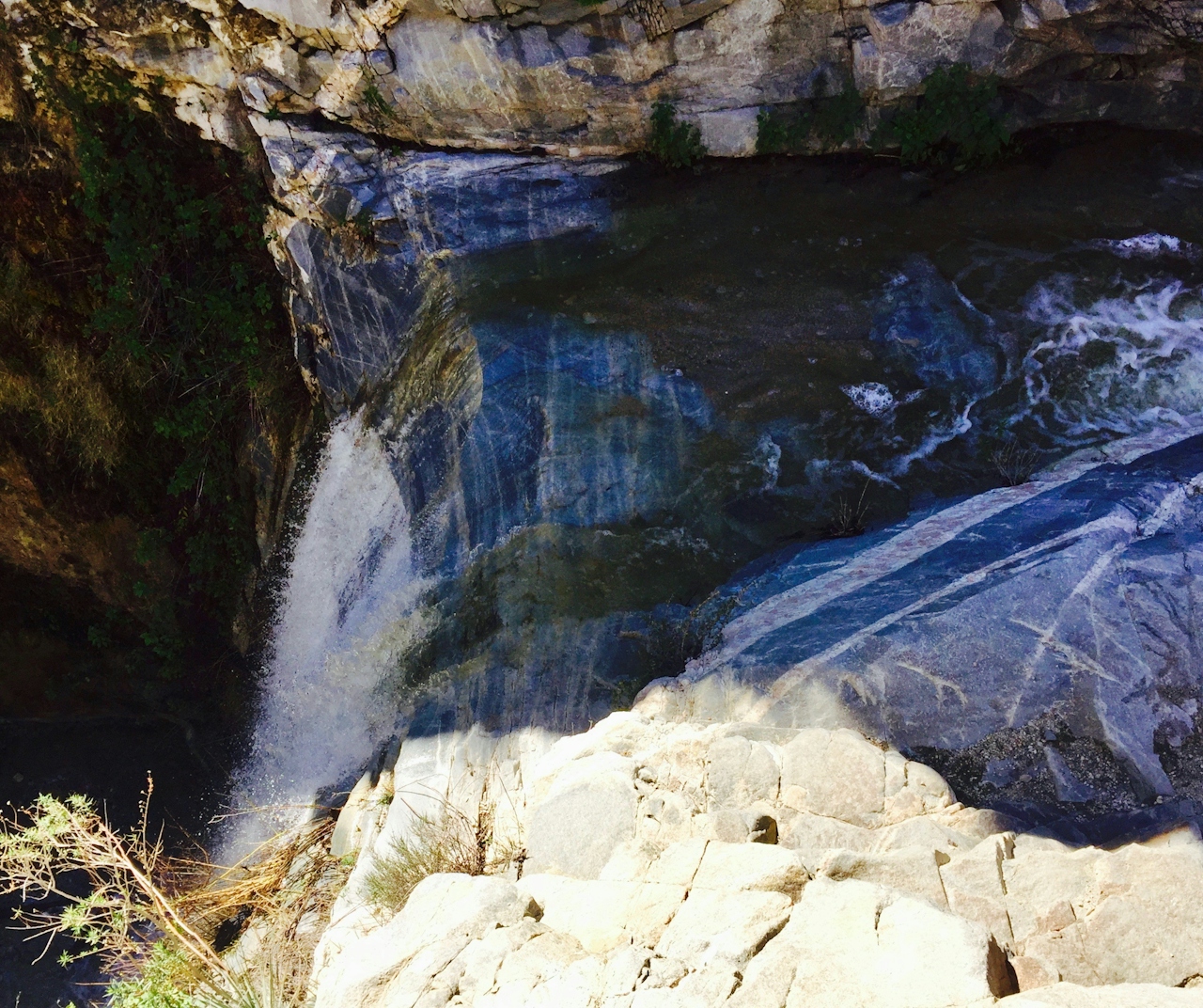
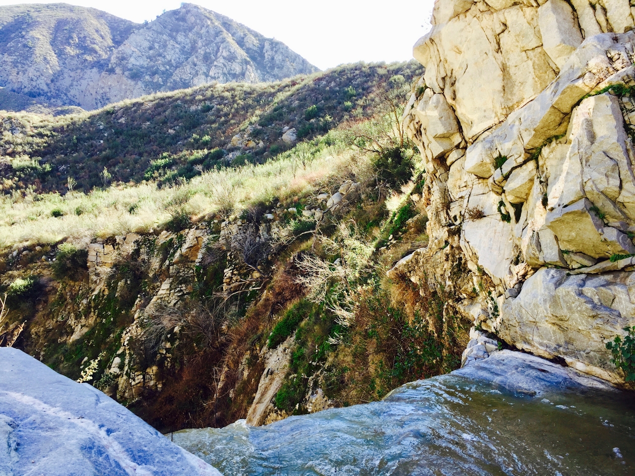
Tip: Just before reaching the overlook, there’s a small path that leads to the foot of the falls. A bit of scrambling down boulders is required for those who want to stand on a small sandbar in the middle of the pool that allows hikers to get within several feet of the falls (take caution, especially after recent rains).
NOTE: While this waterfall is especially great after lots of rains, we suggest waiting for rain to stop before going, since the water crossings are likely to be much wetter and more slick. Use good judgment. To get to the Trail Canyon Falls trailhead, from the I-210 take Sunland Blvd. east, which soon turns into Foothill Blvd. After a mile, turn left onto Oro Vista Ave., which merges right into Big Tujunga Canyon Rd. after another mile. Follow this for 4.5 miles before turning left onto Trail Canyon Rd. (Forest Rte 3N29) and look for signs for the trailhead. A National Forest Service Adventure Pass ($5 per day or $30 for the year) is required for parking. Dog-friendly!







