Lookout Ahead!
Hike to Boucher Hill Fire Lookout in Palomar Mountain State Park


A 3.7-mile loop hike to Boucher Hill Fire Lookout in Palomar Mountain State Park reminds us that fire, and fire prevention, have long been facts of life in Southern California. We’re also reminded just how stunningly beautiful are the mountains of this remote, lightly visited portion of northern San Diego County.
The lookout, built in 1921 and rebuilt twice over the years, provides magnificent panoramic views of the Pauma Valley below and even the Pacific Ocean on clear days. You’ll also catch glimpses of sister summits—Cuyamaca Peak (6,512 feet) to the southeast and Santiago Peak (5,689 feet) to the northwest. The lookout is open for tours from May through December, but even when the tower is closed, the deck at its base provides the same grand views.
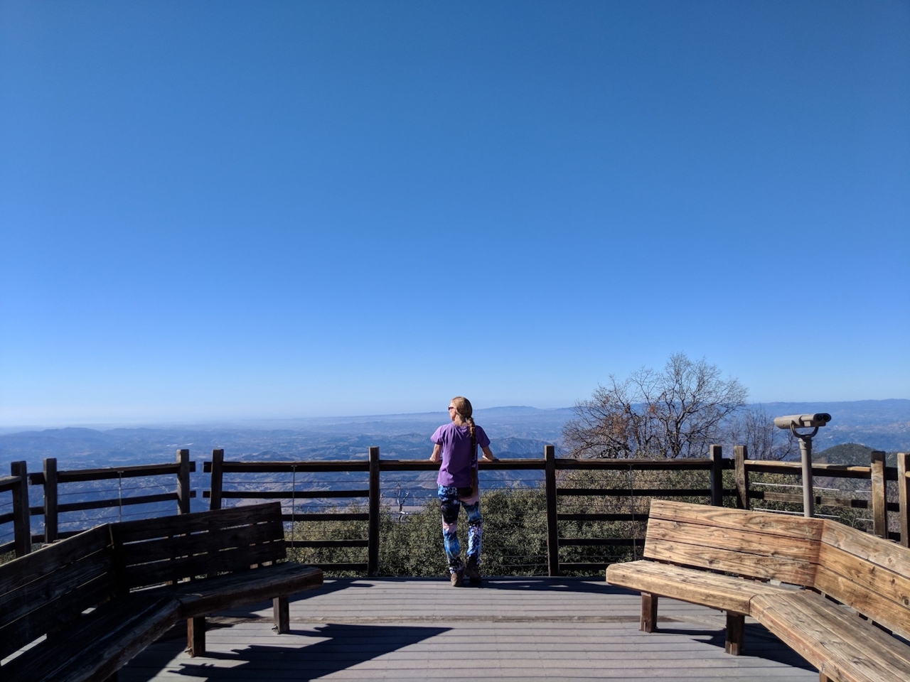
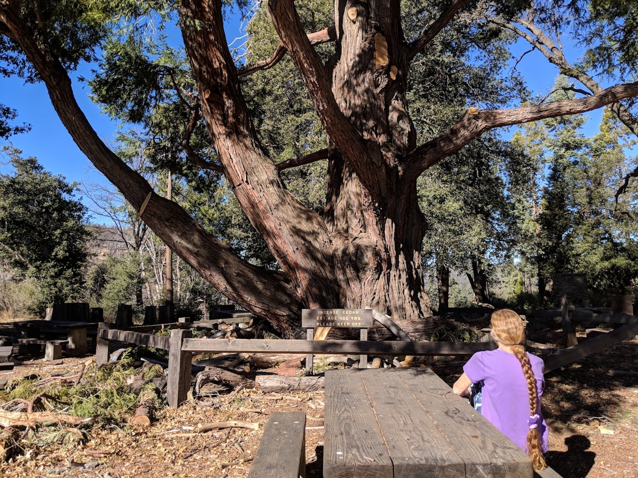
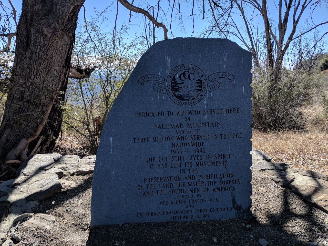
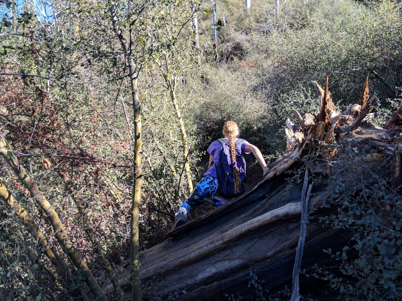
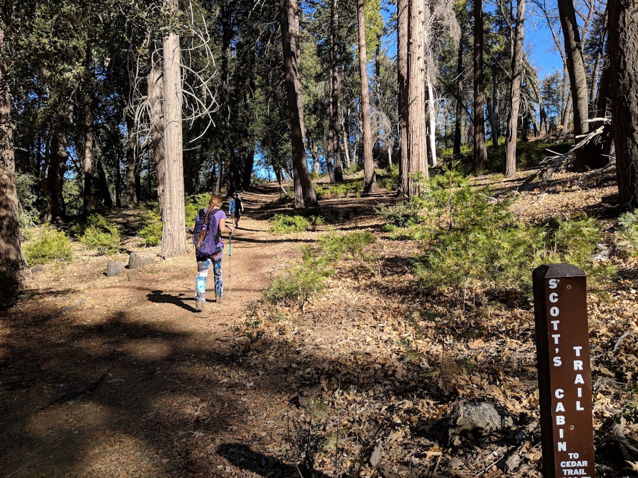
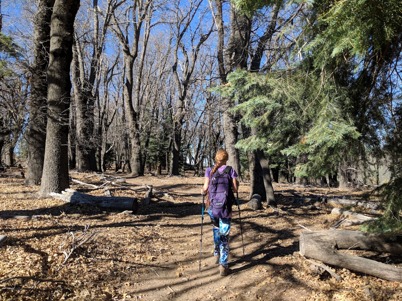
The hike is a highlight reel of the park’s natural beauty, including towering live oaks and ancient incense cedars. From the Silvercrest Picnic Area, head back to State Park Road and turn left, walking past Scott’s Cabin Trailhead on the right (where you’ll finish the trek) to a five-way junction. Pass the gate straight ahead to the narrow dirt path that leads steeply uphill—that’s the Boucher Trail. The deck and tower are just 0.75 mile up the trail.
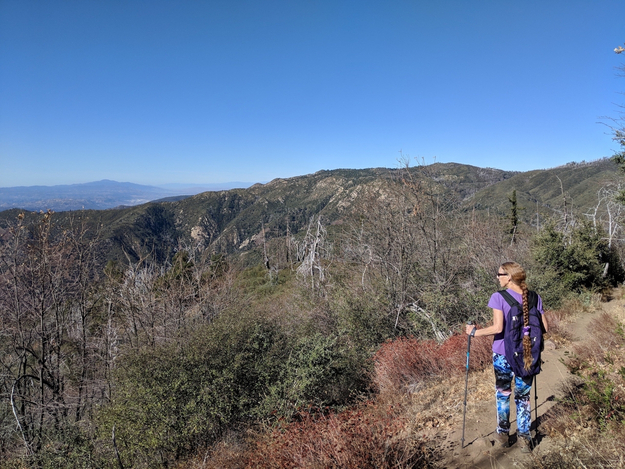
After you savor the views, you’ll descend gradually and see the effects of a 2007 fire, as you step over and duck under fallen giants until you cross a paved road and join the Adams Trail. Stay right at the next junction as you pass a peaceful meadow and reach Cedar Grove Campground after about 1.5 miles. Continue through the group sites and cross Doane Valley Road to hop on Scott’s Cabin Trail, which climbs beneath ponderosa pines and then descends into a dogwood-filled creek bed—and then up again to the picnic area and your car.
Take CA-76 to S. Grade Rd./Palomar Mountain Rd. After nearly 7 miles, turn left to stay on S. Grade Rd., followed by an immediate left onto State Park Rd., passing the Palomar Mountain General Store. After 3 miles, the Silvercrest Picnic Area and parking lot will be on your left. $10 day-use fee. No dogs.







