Short Hike, Sweet View!

Hike to Big Views at Claremont Canyon in the East Bay

Woman and her dog looking out to view of the Bay at Claremont Canyon Preserve in the East Bay

Steady as you go ... all the way up to a sweeping Bay vista at Claremont Canyon Regional Preserve. This 208-acre haven has a 4.3-mile loop hike to one of the best views in the East Bay. Begin your hike on the aptly named Stonewall Panoramic Trail, which rises quickly out of the eucalyptus forest to ridgeline chaparral.
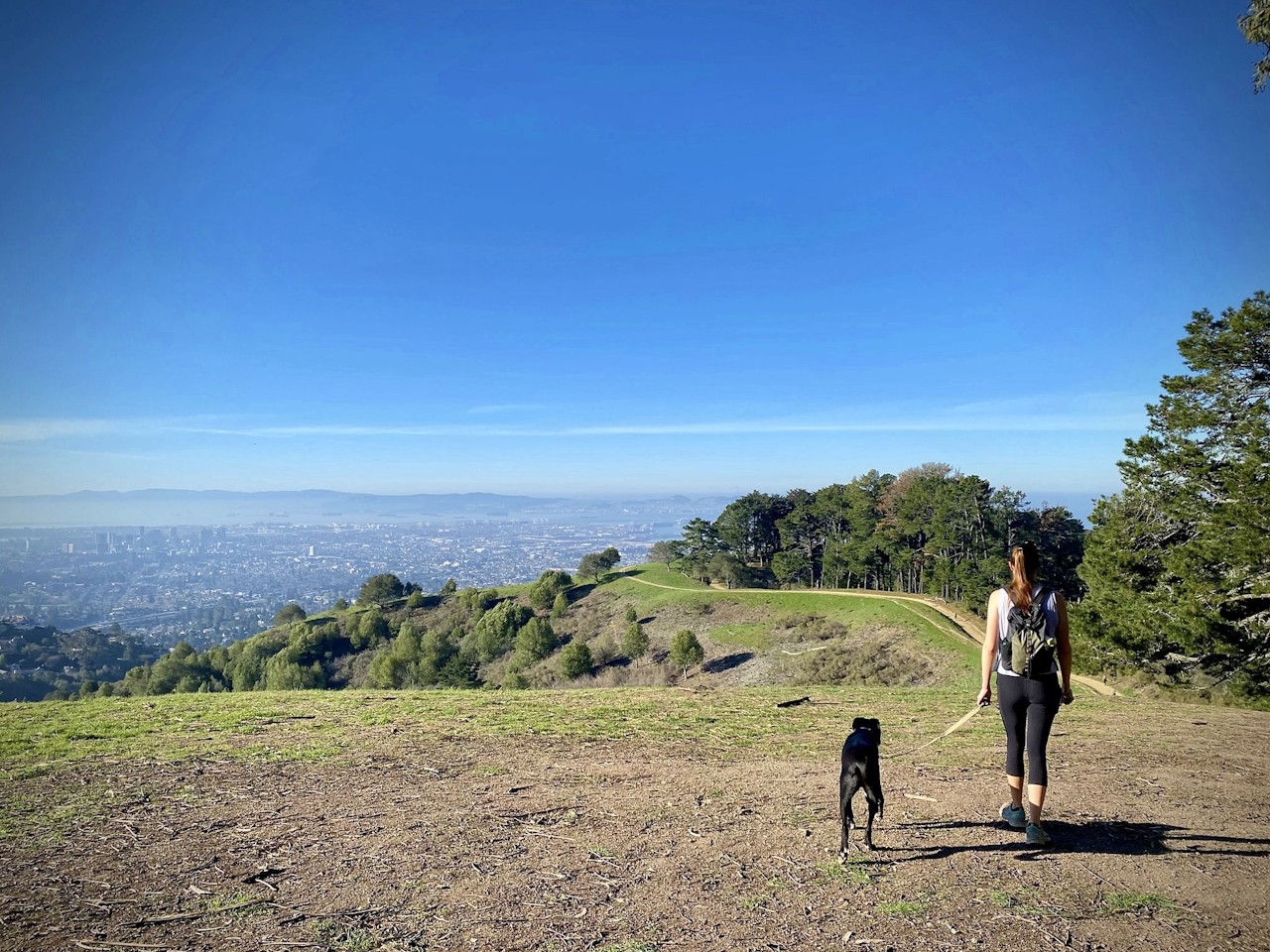
Hike Claremont Canyon Regional Preserve

As you approach Panoramic Way, soak in the birds-eye view of the bay and UC Berkeley’s campus below. At Panoramic Way, take a right and link up with the East-West Trail, which takes you deeper into the canyon. After a slight descent through a wooded section, take a left onto the connector trail that drops quickly to the Upper Jordan Fire Trail.
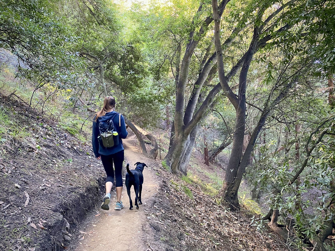
Woman walking her dog through a forest at Claremont Canyon in the East Bay

This section of the trail offers a glimpse of the back side of Claremont Canyon. After about 1.5 miles take a left onto Panoramic Way and follow the quiet street through woodlands. At the T-intersection, take a right and then a left to access the Clark Kerr Trail (marked by a few dog water dishes). The hillside should soon be blooming with California poppies.
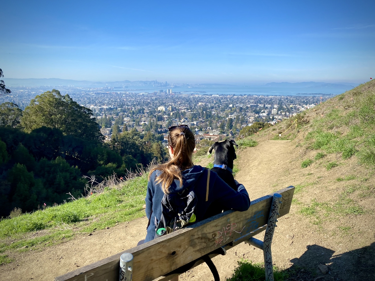
Woman sitting on a bench with her dog overlooking a view of the San Francisco Bay

At the peak, you're rewarded with uninterrupted vistas of the Bay and San Francisco's skyline. Take it all in at the bench, then take a left and continue into the woods and over a small footbridge; this trail leads back to your final descent on Stonewall Panoramic Trail.

Limited parking can be found on Stonewall Rd. off Claremont Ave. Because much of the climbing section is exposed, this hike is best for cooler days. No water or restrooms are available. Dog-friendly!

Trending Stories NorCal

View all Stories
  1. Napa Valley Paddle kayaker and paddle boarder on the Napa Valley river

    Napa's Wild Side

    It’s wine country’s Amazon. The gentle Napa River is an ecological—and recreational—delight. And Napa Valley Paddle sets you up for maximum enjoyment of this experience.

    View
  2. Inn-spiration Point!

    For more than a century, people have been hiking or mountain biking to West Point Inn for good reason. Perched at 1,785 feet on the southern slope of Mount Tamalpais, the historic inn has sweeping views from the Marin Headlands to the San Francisco skyline.

    View
  3. A Thousand Steps to Paradise

    A picture is worth a thousand words, but is a gorgeous beach in Laguna worth a thousand steps? The answer is yes, though the question is moot, because it’s only 223 steep steps down to the 400-yard stretch of sand known as 1000 Steps Beach.

    View
  4. Hike Mount Tamalpais into Muir Woods

    Muir Woods Through the Backdoor

    A backdoor entrance into Muir Woods? Hike a tranquil trail that starts in Mount Tamalpais State Park and quietly leads into Muir Woods, letting you avoid the busyness of the main parking area.

    View

Trending Stories SoCal

View all Stories
  1. There's Always To Moro!

    Looking for a rock-solid itinerary in Sequoia National Park? Pair the park's most famous viewpoint with one that's often overlooked.

    View
  2. Rancho Style

    Vicente Bluffs Reserve dazzles anytime, but during the golden hour it’s an absolute knockout. Majestic rocky bluffs, dreamy ocean views, and a picturesque lighthouse are just a few of the reasons.

    View
  3. Sponsored

    Take the Exit to the Best of the San Francisco Peninsula

    The San Francisco Peninsula is proof that some of Northern California’s greatest surprises are hiding just off Highway 101. All you have to do is take the exit.

    View
  4. Hike to the Sierra Buttes Fire Lookout in the Lakes Basin

    Lookout for This View!

    Sierra Buttes Lookout, at a lofty 8,591 feet, is a memory maker for its pucker-worthy stairway to the tower’s balcony. It's a 5-mile (round-trip) hike to reach it. And the reward? Epic!

    View





