Bluffing Good!

Hike the San Onofre Bluffs Loop Trail in San Diego County

Woman hiking the San Onofre Bluffs Loop Trail to San Onofre State Beach in San Diego County

What if we told you there was a stretch of coast with beautiful beaches, unique geological history, and picturesque sandstone cliffs with limited foot traffic in San Diego County? We promise we aren’t bluffing! Head to the northernmost point of the county, San Onofre State Beach, to find the 5-mile San Onofre Bluffs Loop Trail that explores both cliffs and coast.
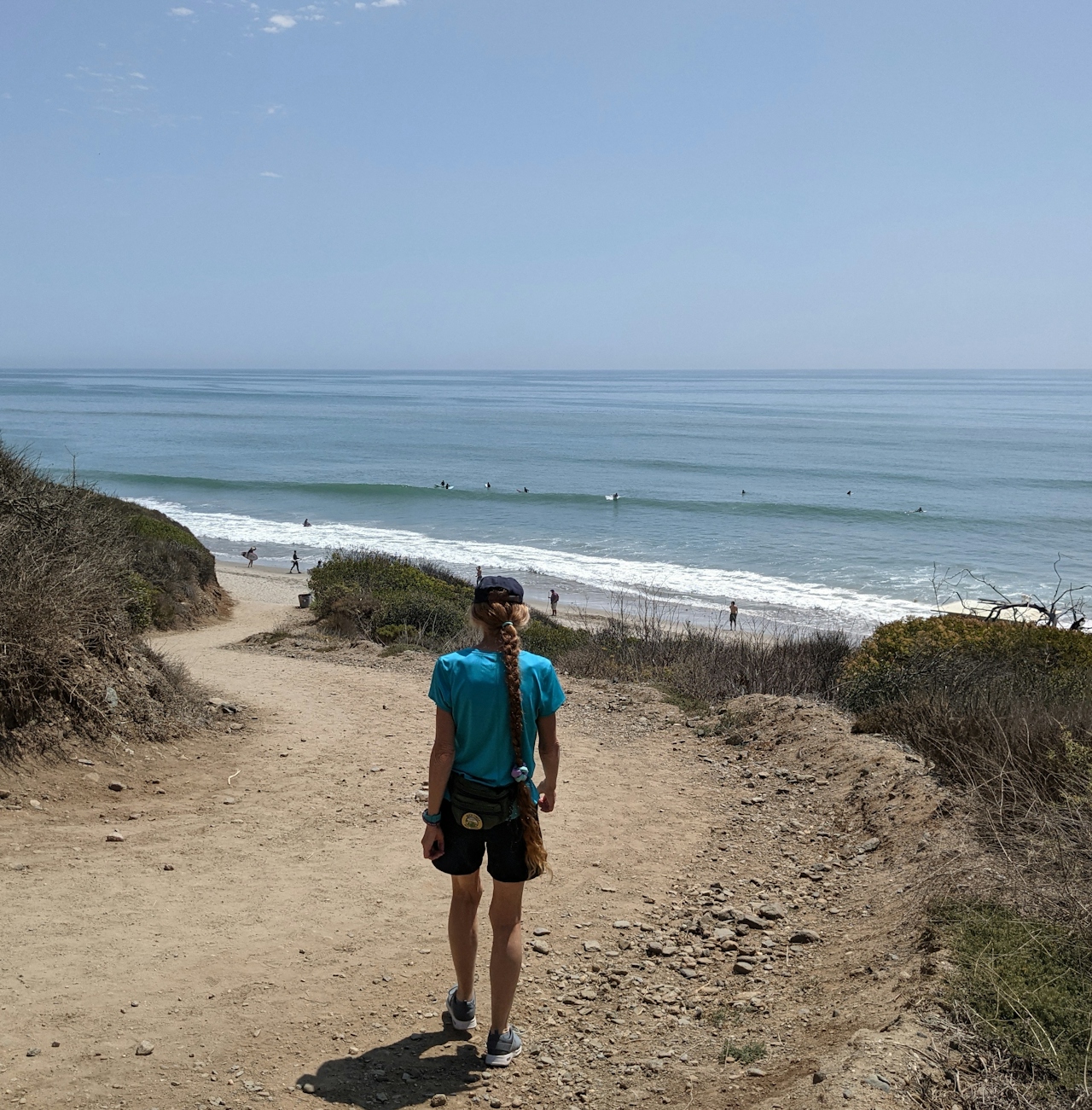
Woman hiking the San Onofre Bluffs Loop Trail overlooking San Onofre State Beach in San Diego County

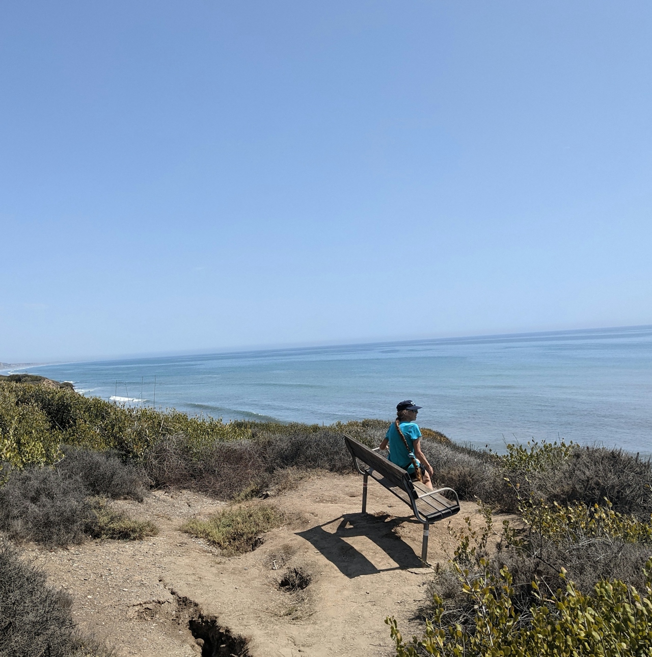
Woman sitting on a bluff top bench overlooking the Pacific ocean on the San Onofre Bluffs Loop Trail overlooking San Onofre State Beach in San Diego County

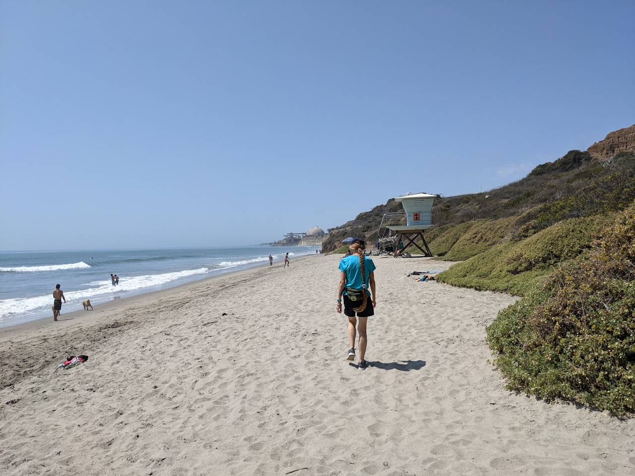
Woman walking along the sand towards a lifeguard tower on San Onofre State Beach in San Diego County

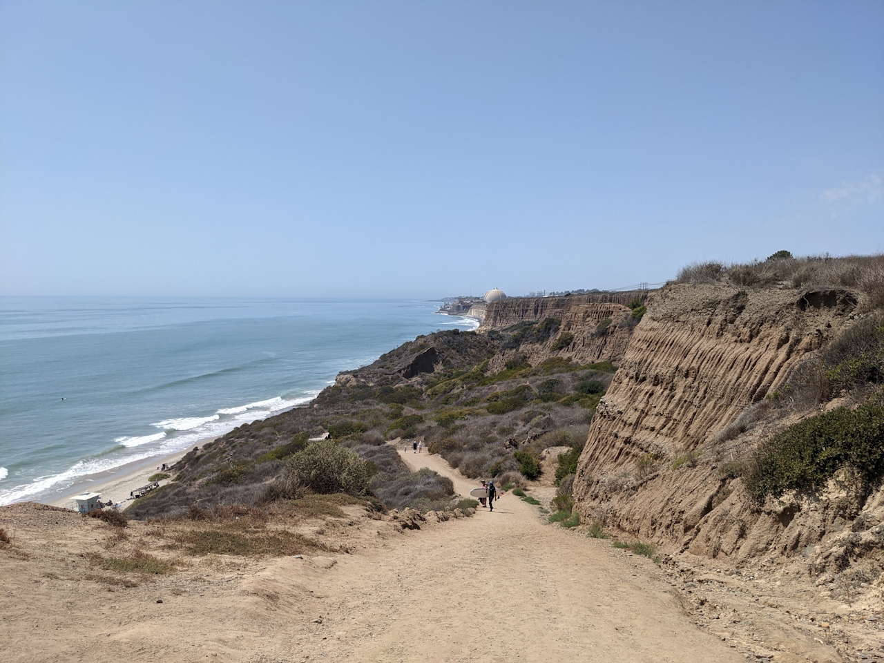
Park at one of the many lots and trailheads (there are six). We recommend Trail 1 just after the first restroom south of the park gate (there is day use fee, or get an annual State Parks pass) and begin at the dirt path. The trail immediately offers incredible north-south views of the Pacific coastline; enjoy them from a bench before heading down the steep trail. There are often surfers at the beach because of consistent waves. To the north is the inactive nuclear power plant; try to spy San Clemente just past the rather ominous buildings.
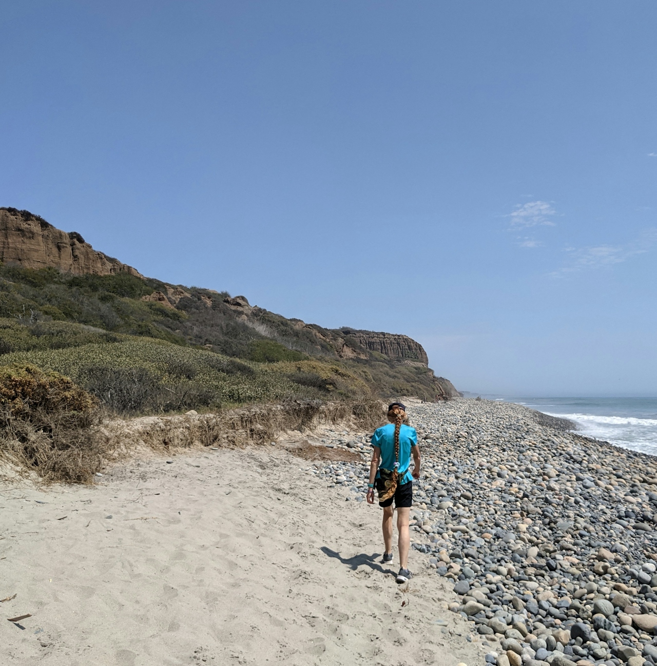
Woman walking on the sandy beach next to a rocky section on San Onofre State Beach in San Diego County

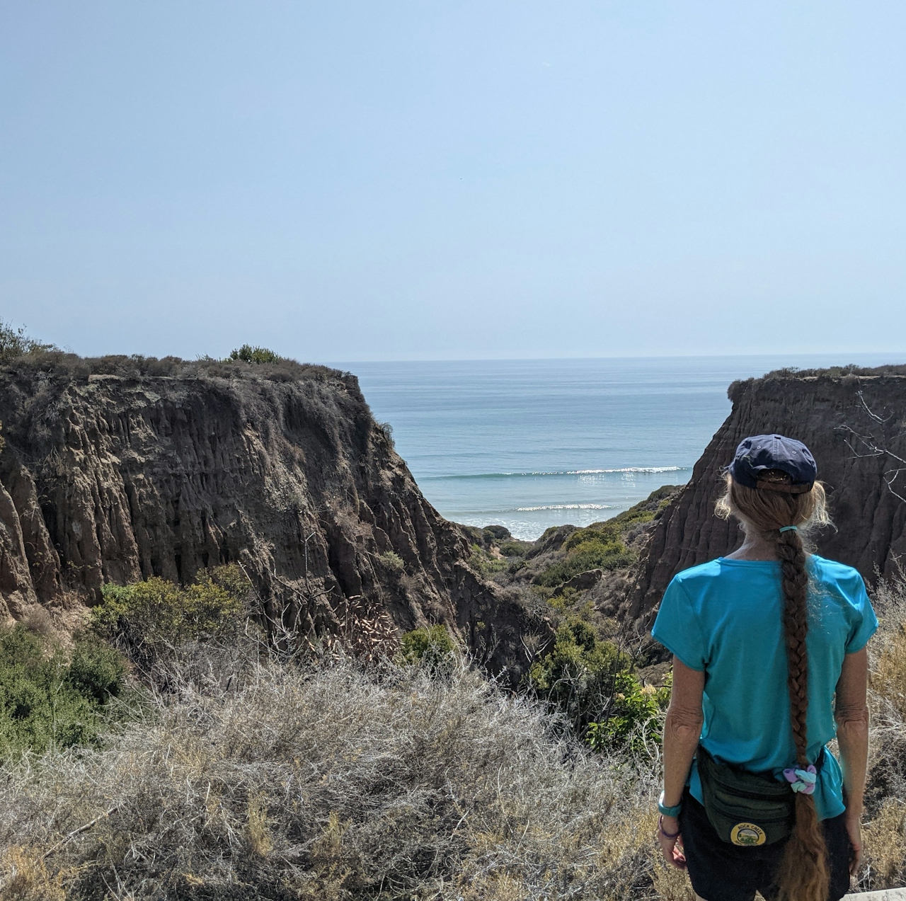
Woman standing on a bluff overlooking the sandstone rock canyon formation above San Onofre State Beach in San Diego County

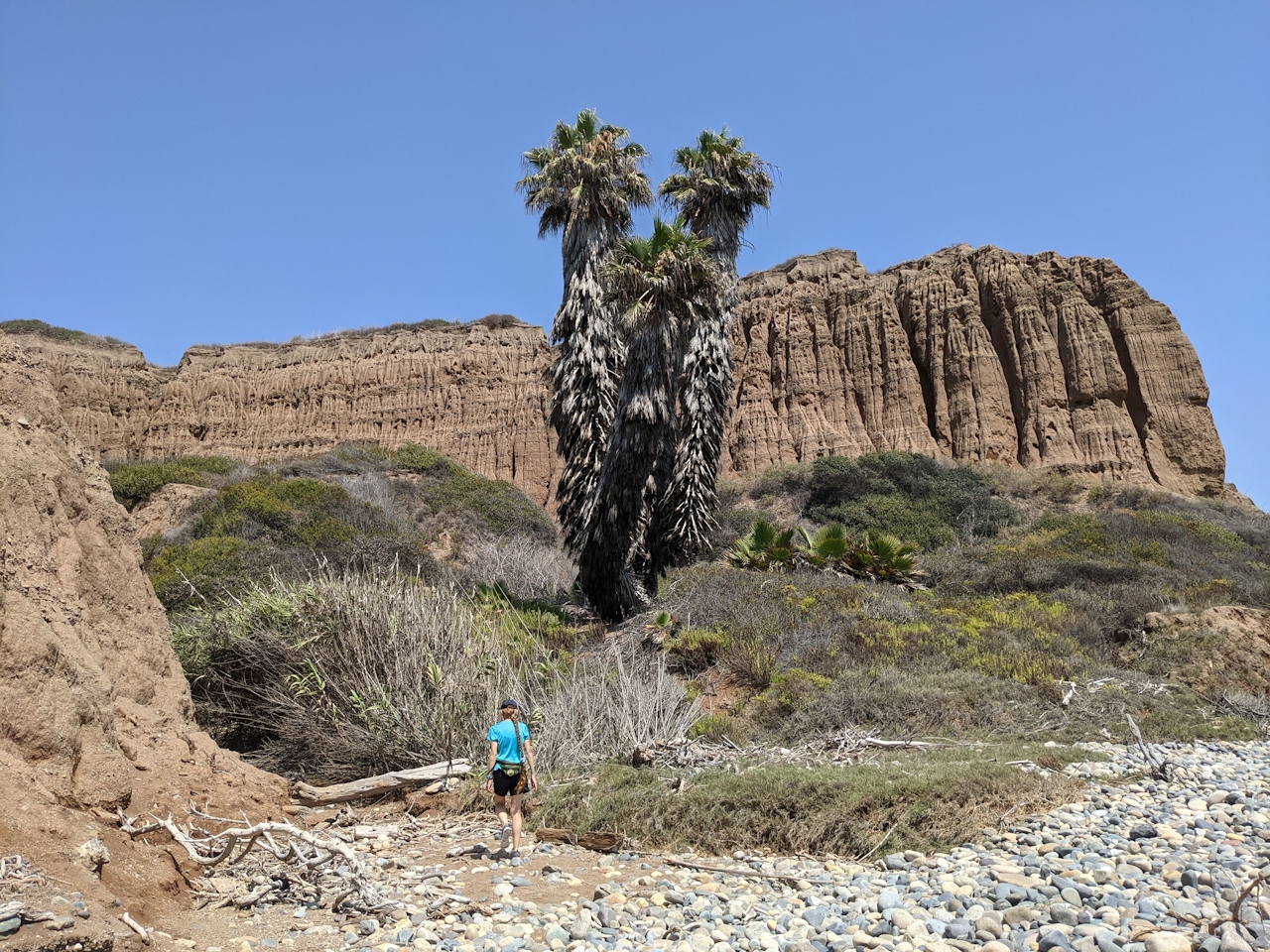
Woman walking beneath a trio of giant palm trees and the sandstone cliff formations at San Onofre State Beach in San Diego County

Head south on the sand, looking for gliding pelicans and scampering sandpipers along the water. The rugged canyon walls, sculpted by ages of winds and water, are a scenic geological gem throughout the trek. You’ll pass five trails on the beach stroll. Go up and down for more of a workout, or simply wait until Trail 6 to return to the bluff trail. Note: If the tide is high, you will have to maneuver over loose rocks; the rocky beach is a tough slog but also offers gentle, meditative sounds as waves crash and roll over the stones. *Do not do this if there is high surf. Use good judgment and be safe; check conditions.
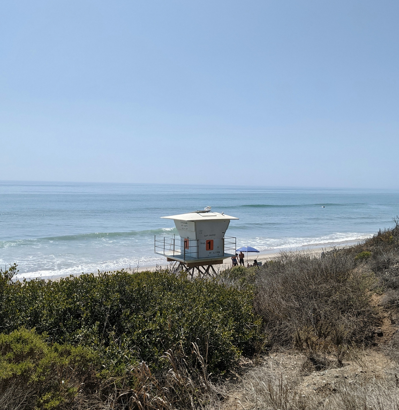
Lifeguard tower at San Onofre State Beach in San Diego County

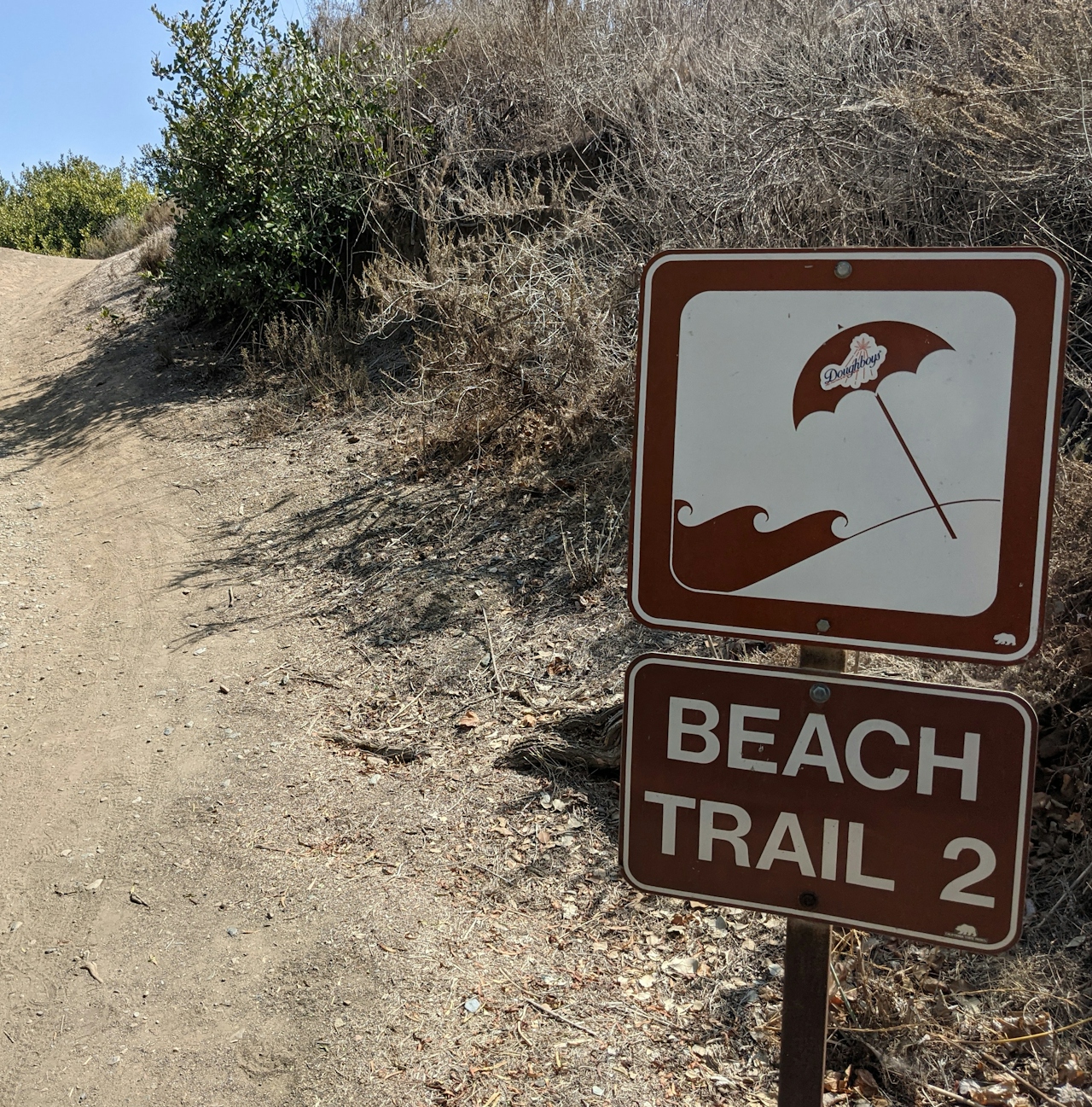
Sign to Beach Trail 2 at San Onofre State Park in San Diego County

San Onofre Bluffs Trail overlooking San Onofre State Beach in San Diego County

Just before the Trail 2 marker, you’ll see a large gap in the bluffs. This is the Cristianitos Fault. There’s also a notable change in rock color—the light hues of the silt and sandstone San Mateo Formation lie to the north, while the Monterey Formation to the south offers much darker claystone cliffs. Continue past the earthquake fault line, which hasn’t been active for over 100,000 years (and we hope it stays that way!), until you reach your Trail 6 ascent. Along the bluff trail on the return trip, pass multiple vista-friendly benches and the San Onofre Bluffs Campground, a serene overnight option with 157 sites (reserve in advance) for those who find it tough to leave the bluffs. ’Nuff said!

NOTE, September 2026: Recent swell has affected parts of the SoCal coast, so check current conditions and access before you go.

To get to the San Onofre Bluffs Loop, parking lot, and campground, take exit 71 (Basilone Rd./San Onofre) off the I-5. Turn left (if coming from San Diego) or right (if coming from the north) and follow the Old Pacific Highway south for just under 3 miles to the park entrance. Always be aware of the tides. Dog-friendly!

Story and photos by Matt Pawlik

Trending Stories NorCal

View all Stories
  1. Sponsored

    Reno Mountain High

    Take your vacation to new heights with some of the season’s most original events, and plenty of outdoors to explore. Fall for it all in Reno Tahoe.

    View
  2. Hiker on the SCA trail in Marin Headlands with view of the Golden Gate Bridge

    Headlands Over Heels

    People come from all over the world to get a glimpse of the Golden Gate Bridge. Get a dramatic and novel view of the bridge without all the people on this moderate 6-mile hike in the Marin Headlands.

    View
  3. Roaring Redwoods

    Tucked next to brilliant Henry Cowell Redwoods State Park in Santa Cruz, the folks at Roaring Camp Railroads had a bright idea: When the sun goes down, the rainbow lights come up. Sequoias at Night brings big magic to some of the tallest trees in the world.

    View
  4. Greater by the Dozen

    This hike is anything but a dime a dozen. The all-new "Golden Gate Dozen Trail" links 12 National Park sites on a spectacular 13-mile journey across San Francisco's coastline.

    View

Trending Stories SoCal

View all Stories
  1. The Big Chill

    In LA, finding a place to chill can be the ultimate flex. So flex, in Franklin Canyon! This unexpected oasis has plenty of shade, cool lake breezes, and ample picnicking spots. Enjoy it on an easy-going 1-mile stroll along its reservoir and duck pond.

    View
  2. Pretty View Campground

    Situated at 8,300 feet near the summit of Mount Pinos, Chula Vista is the best stargazing spot within two hours of the bright Los Angeles lights.

    View
  3. Shimmering Paddle

    Uniquely situated where the Russian River meets the rugged Pacific coast, Jenner is a shining star of kayaking destinations. It’s even better on a guided paddle at sunset, under a full moon, or during peak bioluminescent season.

    View
  4. Holcomb We Haven't Camped Here?

    Holcomb Valley Campground in the San Bernardino National Forest has 19 pine-shaded sites, all of them first-come, first-served.

    View