City Looper
Hike the La Sierra Trail Loop in Chino Hills


If you’re feeling a little sluggish post-holiday and tackling a big trail out in the wilderness feels daunting, start out with something easier, like the La Sierra Trail Loop in Chino Hills.
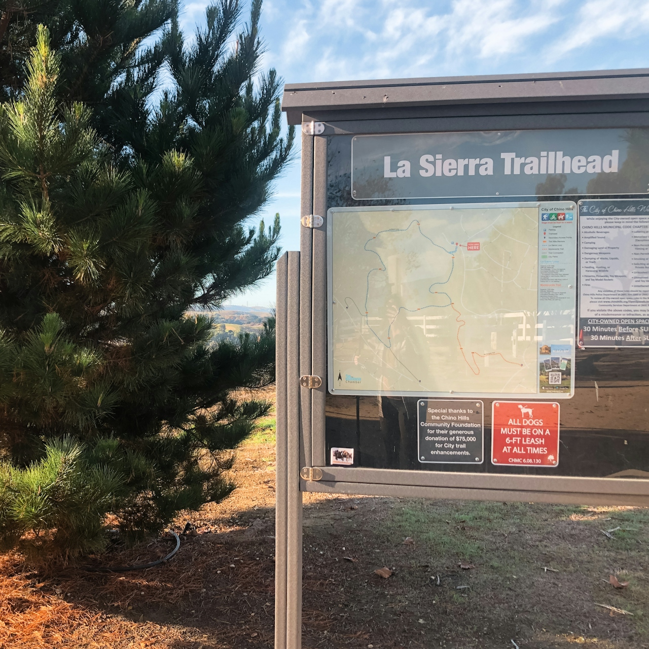
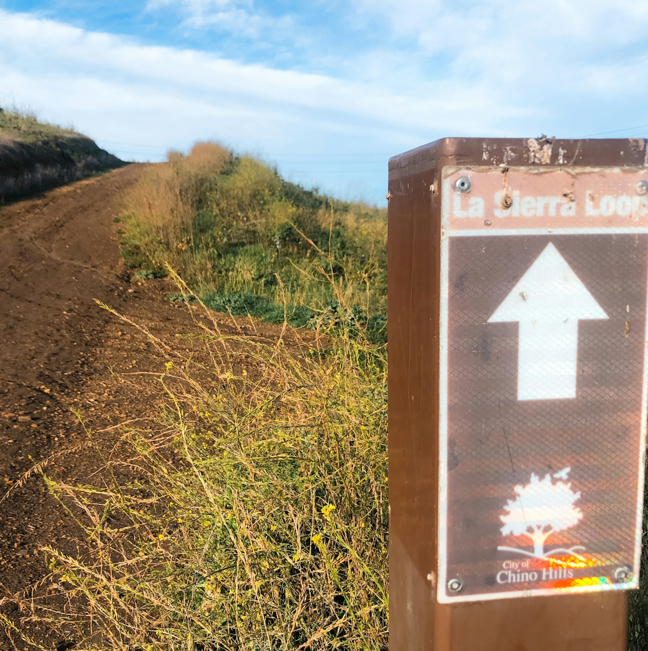
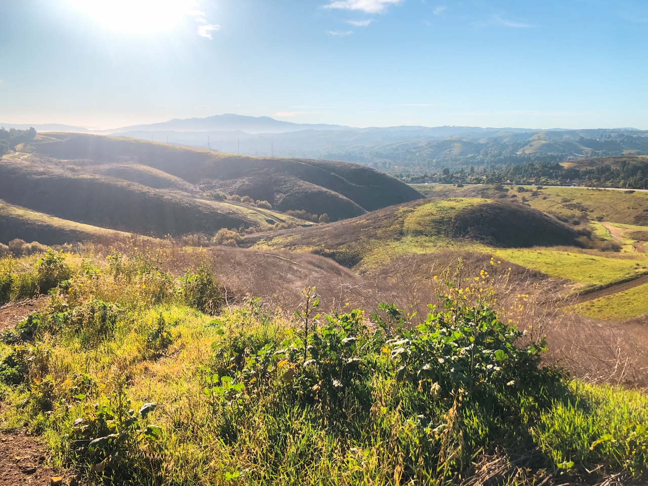
Though it’s right in the middle of a city, this 2.1-mile loop still manages to feel like an escape to nature while packing in 395 feet of elevation gain to get your blood flowing and your legs moving! The trail starts in a neighborhood but quickly transitions to grassy rolling hills.
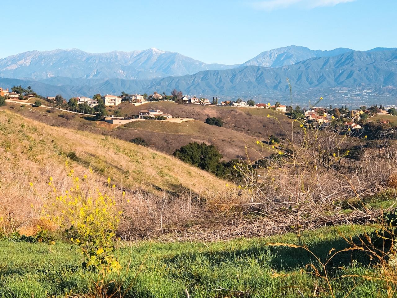
The trail is wide and easy to follow, with northern views of the San Gabriel Mountains and Mount Baldy. While you can take the loop whichever direction you’d like, if you decide to go counterclockwise (turning right when the trail leaves the neighborhood, which is the direction the trail is designed to be followed) there are mile-markers every quarter of a mile, announcing how far you’ve come ... including “End of Loop.”
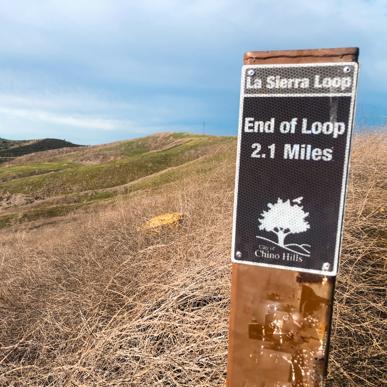
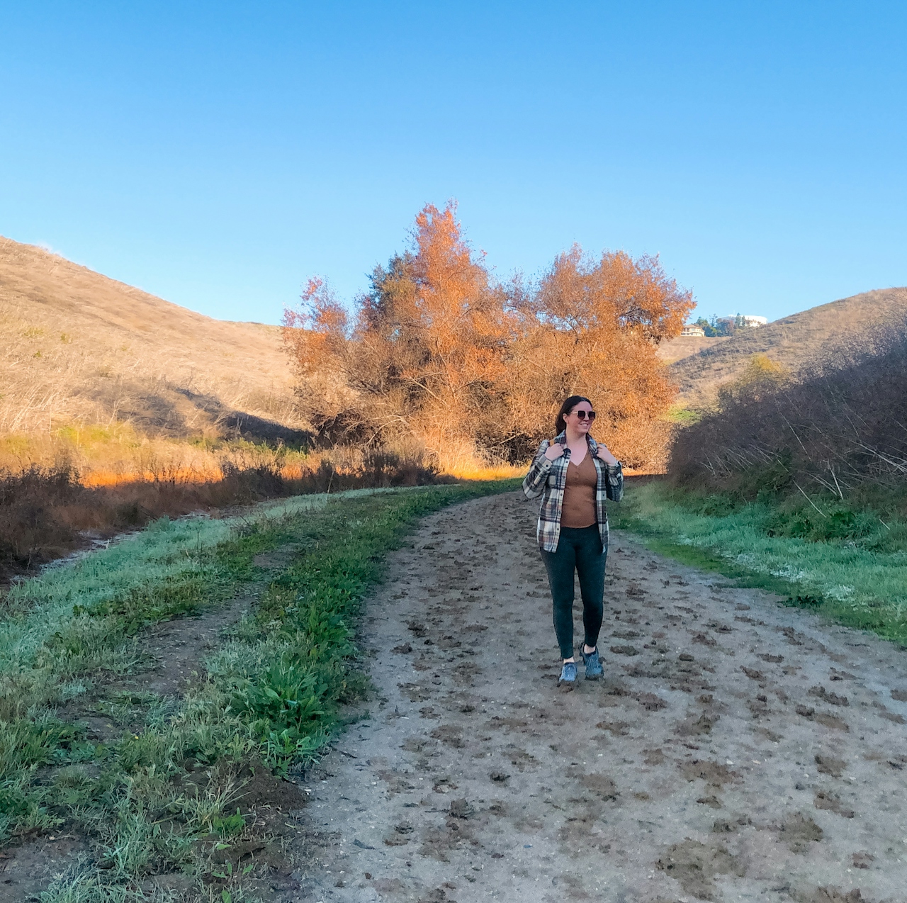
The trail gently climbs upward on a path with no shade for approximately two-thirds of a mile before making its way down into a mini canyon filled with trees and a small stream. Around the 1.25-mile mark there is a junction—head left, which feels more like a sharp U-turn (when looking at the junction you can see one of the mile-marker posts down the left fork, which will let you know you’re on the right path).
Enjoy this shady area at the bottom and then it’s time to head up again. The bulk of the uphill is packed into a fairly steep third of a mile with a bench at the top to rest on after that big push. And then it’s just an easy stroll the rest of the way back! A nice and simple way to ease back into hiking season.
The La Sierra Trail Loop is located in Chino Hills in a residential area. Street parking available but be mindful of the residents and obey all parking signage. No parking the first and third Thursday of each month from 8 a.m. to 4 p.m. for street sweeping. Trail is open from 30 minutes before sunrise to 30 minutes after sunset. Dog-friendly (but must remain on a 6-foot or shorter leash).
Story and photos by Natalie Bates, @wanderwithnatalie







