Bear Hug
Hike a New Section of the Bay Area Ridge Trail


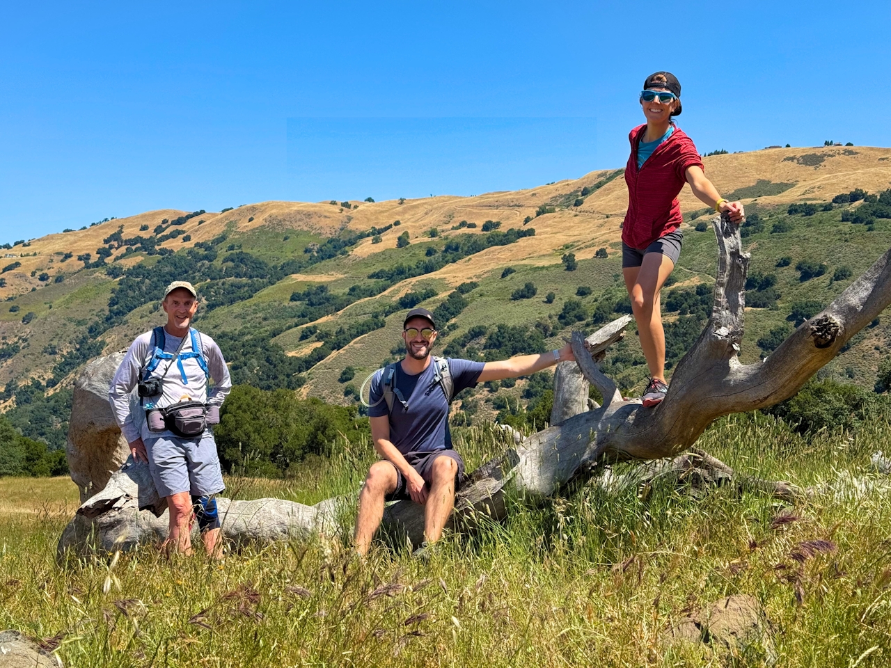
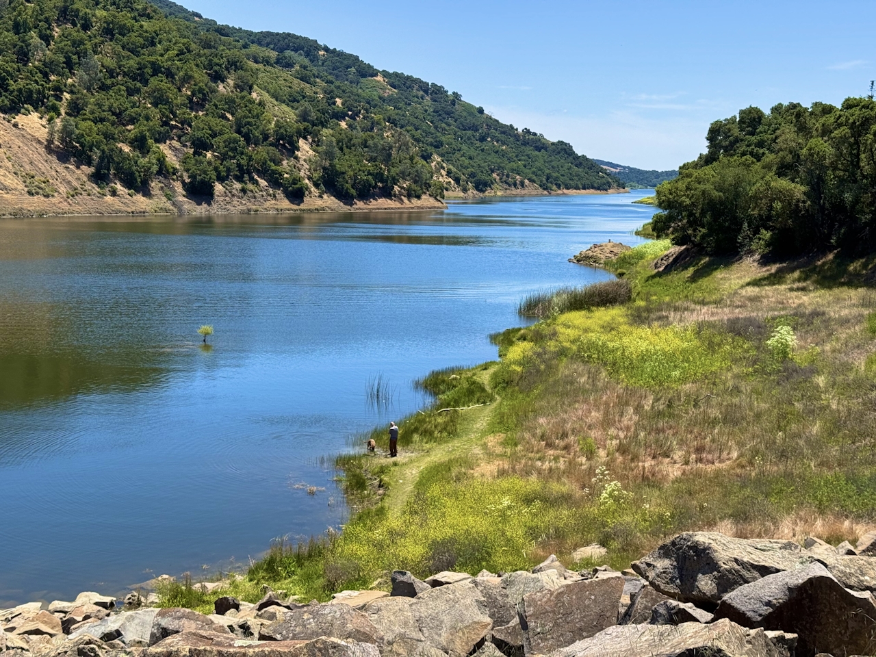
This 5.5-mile loop through Coyote Lake-Harvey Bear Ranch County Park explores one of the newest segments of the acclaimed Bay Area Ridge Trail, one redolent with trees ranging from madrone and manzanita to buckeye and blue elderberry (with a bubbly post-hike bonus).
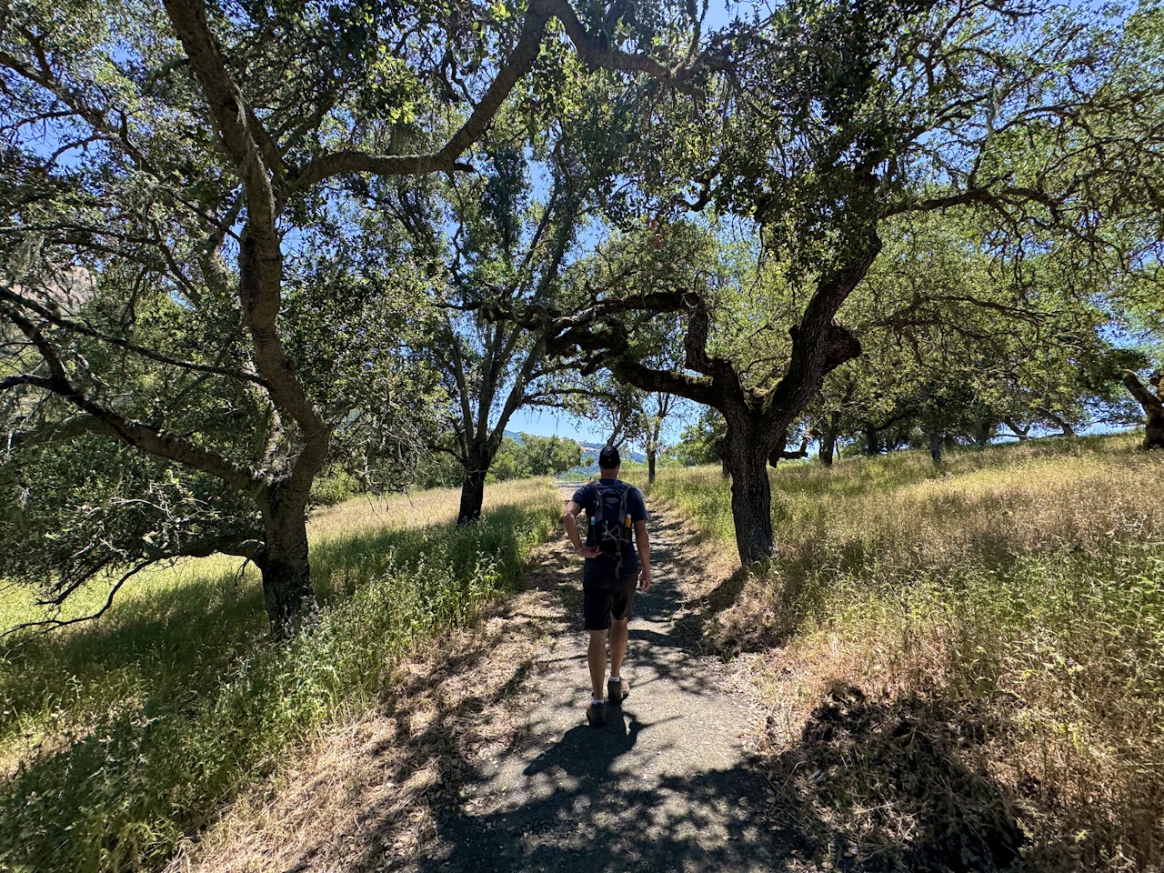
Walk this way…
Get Our Weekly Email
Find inspiration and ideas for outdoor adventures and travel in California and the West.
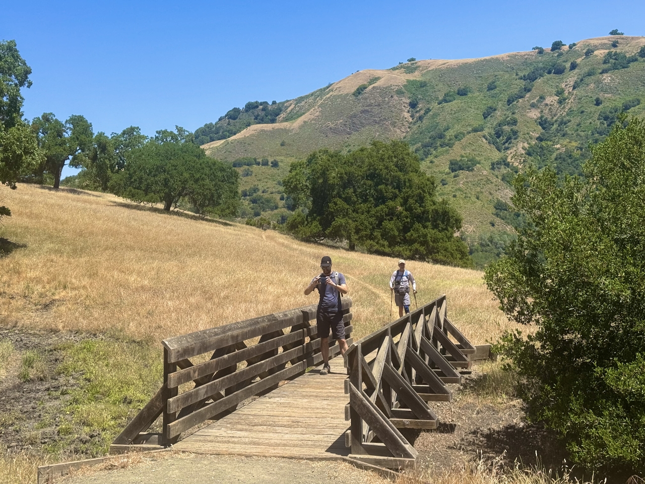
From the Coyote Lake Dam parking lot, head west on the Harvey Bear Connector Trail. The golden hills stretch out in every direction, and keen-eyed hikers can spot Mount Umunhum and Mount Hamilton far in the distance. In the late spring, the blue elderberry and buckeye trees add a pop of floral to the landscape.
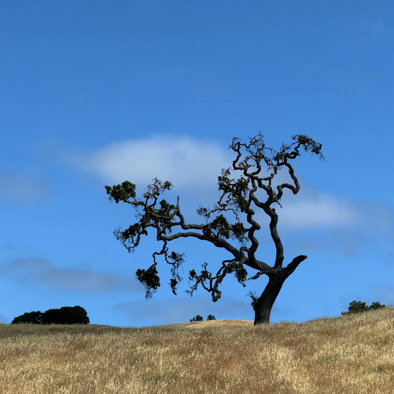
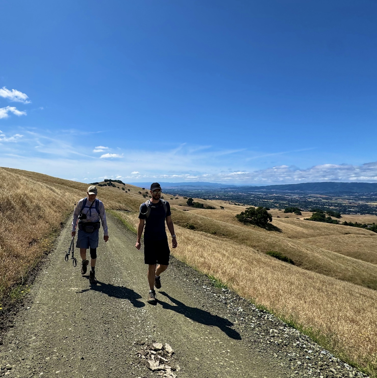
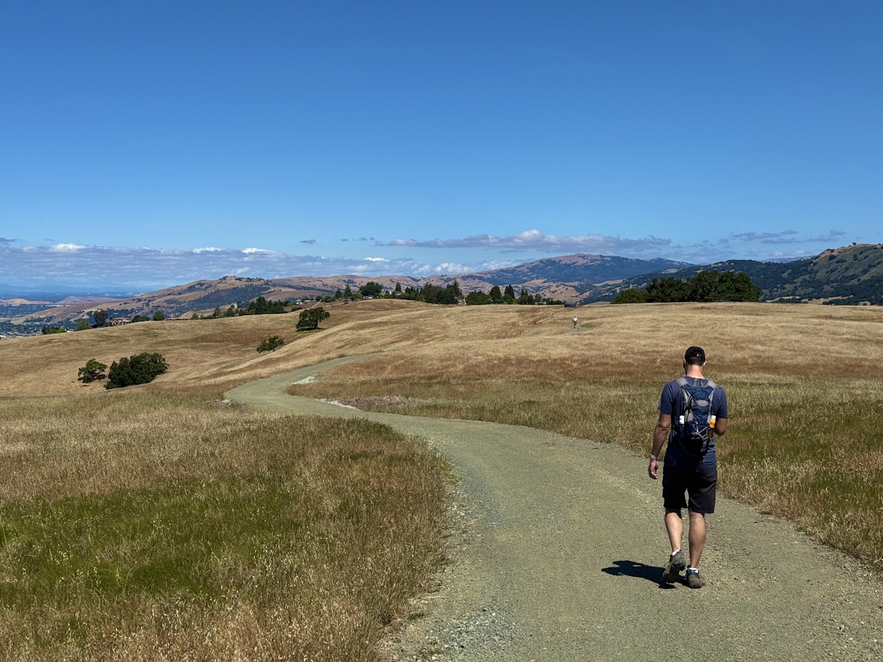
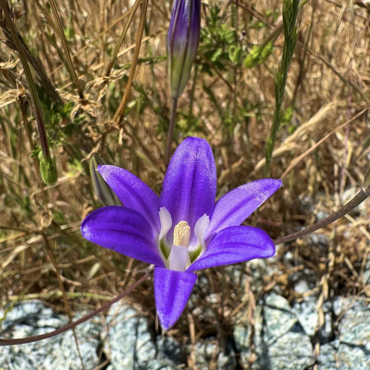
At the intersection with Coyote Ridge Trail, turn right to begin the gentle ascent into the hills. Mariposa lilies dot the trail, and critters like wolf spiders, velvet ants, and checkerspot butterflies roam among the flowers.
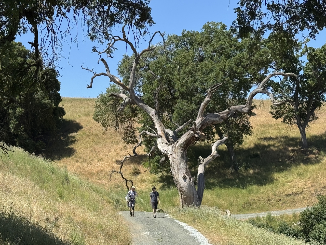
Turn right at the intersection with Ojo De Agua Trail—the newest addition to the Bay Area Ridge Trail, guiding hikers from the open grassland down into the shady forest where red-barked madrone and manzanita mingle with fragrant California bay trees. Turn right onto Woodland Valley Trail, then left on the Harvey Bear Connector Trail to return to the parking lot.
BONUS: The park entrance is in the heart of the Santa Clara Valley wine region.
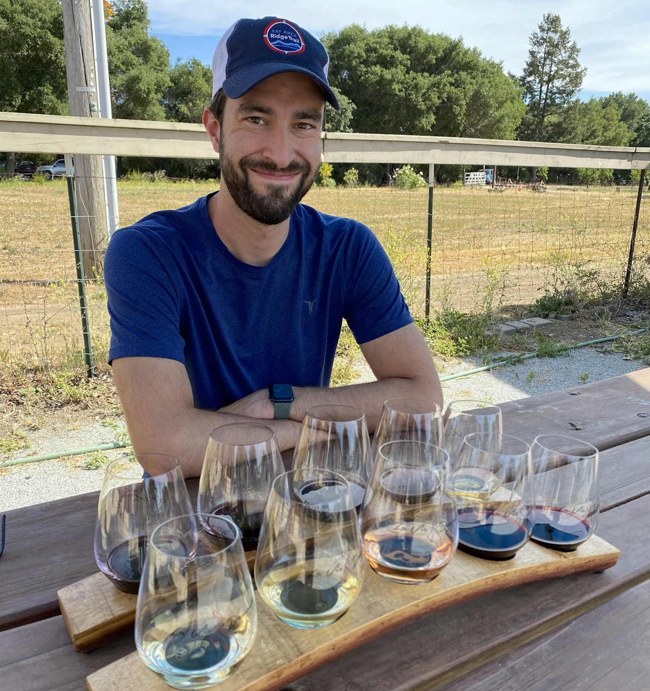
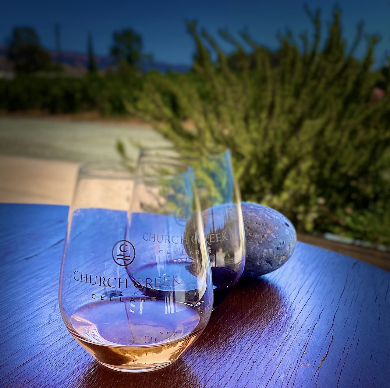
Enjoy a crisp pinot grigio or bubbly California champagne after a long walk in the woods. Some of our local faves: Satori Cellars, Cinnabar Winery, and Church Creek Cellars.
Coyote Lake-Harvey Bear Ranch County Park is located at 4558 Gilroy Hot Springs in Gilroy. Map. NOTE: Not recommended on hot days; check the forecast before going and be sure to get an early start for cooler conditions. The trailhead for this loop begins at the last parking lot on Coyote Lake Road. A $6 parking fee will be collected at the gate. Bike-friendly. Dog-friendly.
Story and photos by Heather Werner, @heath.er.wer.ner