Your Mission Is Less Crowded

Do a less traveled route to Mission Peak in the Bay Area

A group of people clamored around the summit marker at Mission Peak in the Bay Area

Mission Peak is one of the Bay Area’s most popular mountains, with many hikers climbing every weekend. Skip the crowds with this 6-mile loop up the less-traveled southern route.
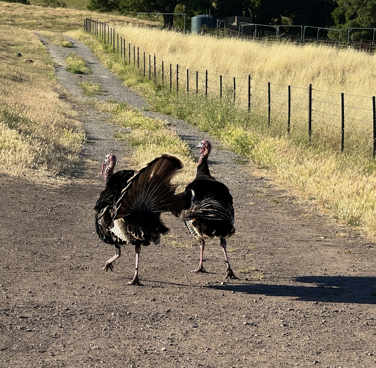
Wild turkeys heading up a trail in the Mission Peak region of the Bay Area

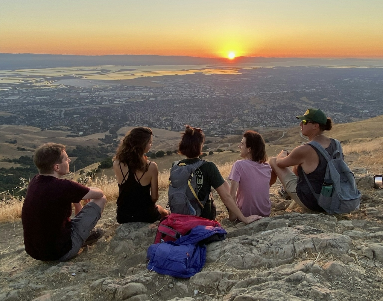
A group of friends sitting down and hanging out at the summit of Mission Peak in the Bay Area

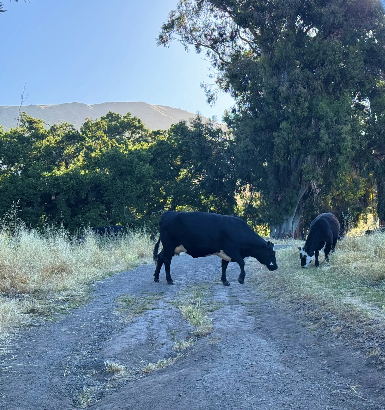
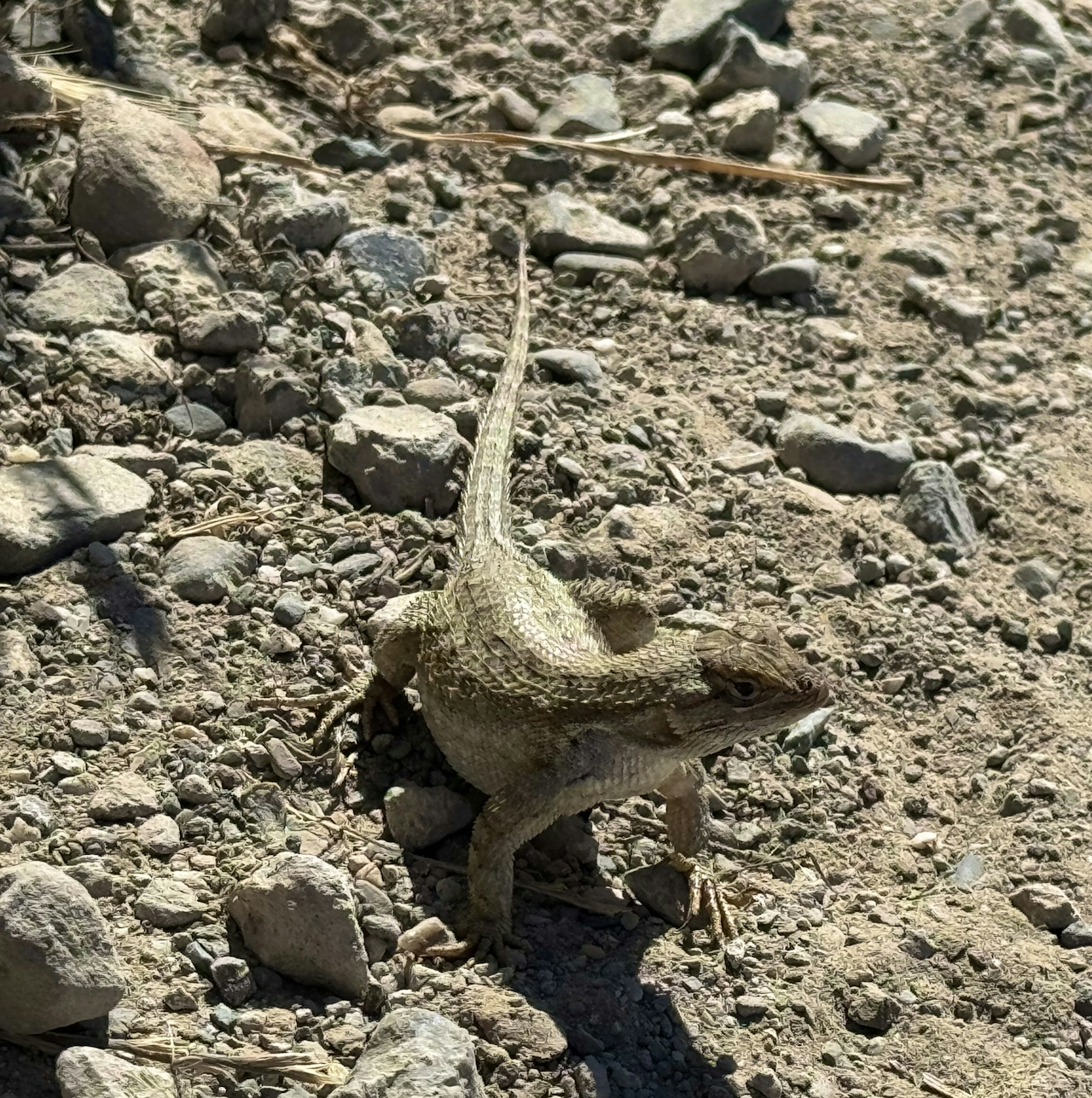
From the Stanford Avenue parking lot, head up Hidden Valley Trail, then bear right at the intersection with Peak Meadow Trail. With so few hikers on this stretch, it’s a great spot for animal sightings like wild turkeys, coyotes, and gopher snakes.
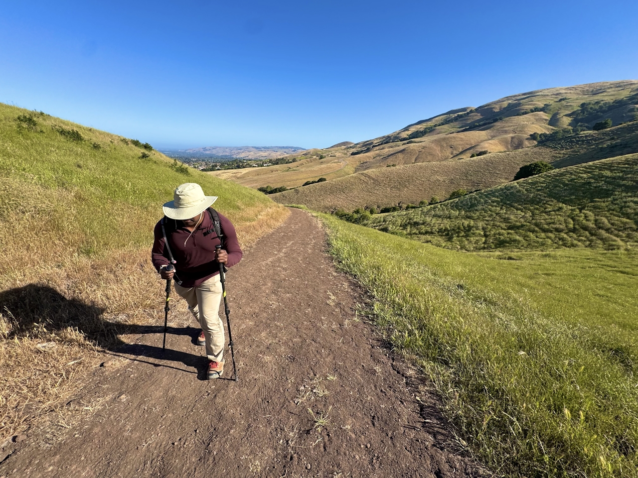
A woman hiking up the trail to reach Mission Peak in the San Francisco Bay Area

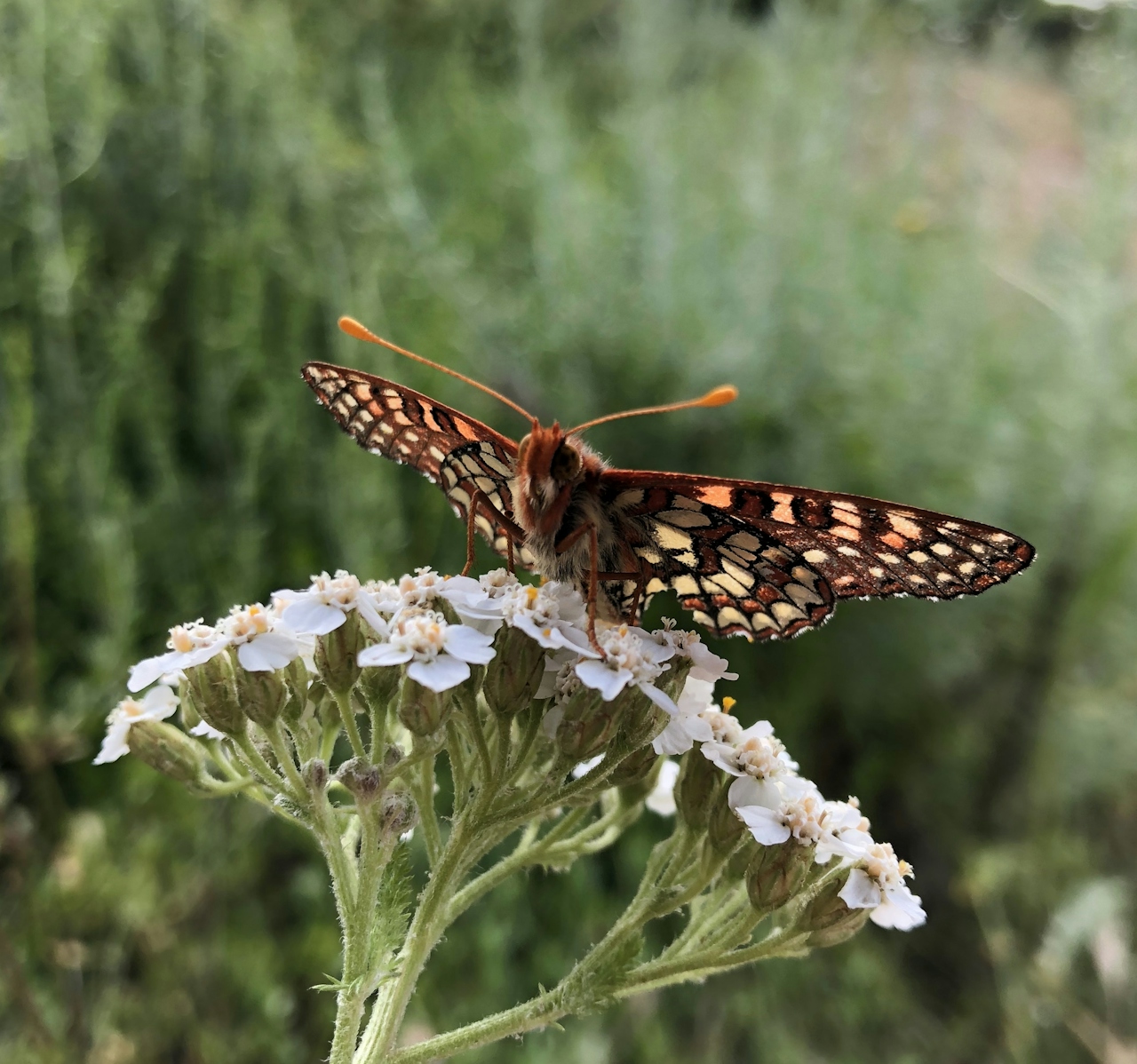
Continue uphill to the intersection with Horse Heaven Trail, then keep right to begin the steepest section of the climb. As you gain altitude, enjoy seasonal flowers like poppies, vetch, and morning glories. The lack of foot traffic makes this a great spot for butterfly viewing, with colorful species like checkerspots, painted ladies, and swallowtails fluttering among the blossoms.
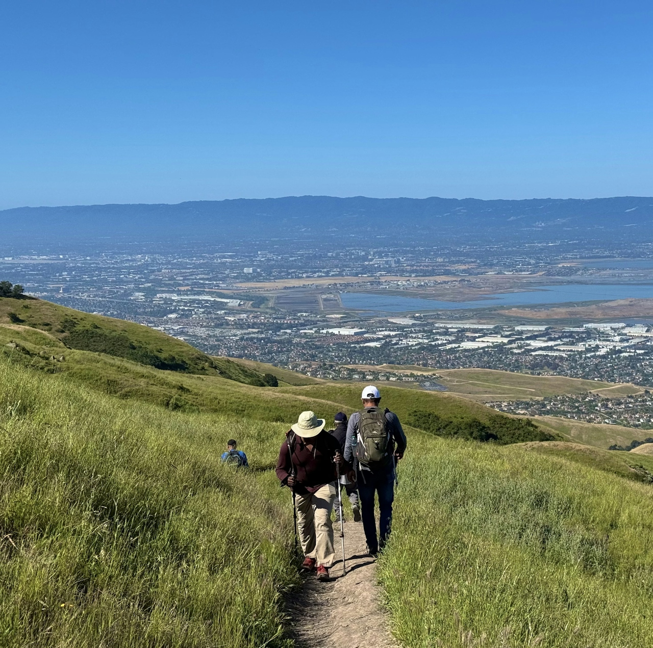
Hikers going up a trail to reach Mission Peak in the Bay Area

At the intersection with Grove Trail, continue straight onto Peak Trail, the final uphill stretch to the rocky summit. Head to the famous summit pole and snap your selfie, then enjoy the beautiful view of Silicon Valley. From this vantage point, hikers can clearly see the Four Corners of the Bay Area: Mount Diablo, Mount Tamalpais, Mount Umunhum, and Mount Hamilton.

To return to the parking lot, continue along Peak Trail, then turn left onto Hidden Valley Trail. This wide dirt road is the main route up Mission Peak, and is the easiest way to descend all the way back to the parking lot.

TIP: Check the forecast and temperatures before embarking on this hike in summer and fall as it's a longer hike with exposure. Plan accordingly.

The Stanford Ave. parking lot is located at 680 Stanford Ave. in Fremont. Map. The parking lot is open from 6:30 a.m. to 9 p.m. Bicycles welcome, except for on the summit. Dog-friendly!

Photo and stories by Heather Werner, @heath.er.wer.ner
Trending Stories NorCal

View all Stories
  1. Napa Valley Paddle kayaker and paddle boarder on the Napa Valley river

    Napa's Wild Side

    It’s wine country’s Amazon. The gentle Napa River is an ecological—and recreational—delight. And Napa Valley Paddle sets you up for maximum enjoyment of this experience.

    View
  2. Inn-spiration Point!

    For more than a century, people have been hiking or mountain biking to West Point Inn for good reason. Perched at 1,785 feet on the southern slope of Mount Tamalpais, the historic inn has sweeping views from the Marin Headlands to the San Francisco skyline.

    View
  3. A Thousand Steps to Paradise

    A picture is worth a thousand words, but is a gorgeous beach in Laguna worth a thousand steps? The answer is yes, though the question is moot, because it’s only 223 steep steps down to the 400-yard stretch of sand known as 1000 Steps Beach.

    View
  4. Hike Mount Tamalpais into Muir Woods

    Muir Woods Through the Backdoor

    A backdoor entrance into Muir Woods? Hike a tranquil trail that starts in Mount Tamalpais State Park and quietly leads into Muir Woods, letting you avoid the busyness of the main parking area.

    View

Trending Stories SoCal

View all Stories
  1. There's Always To Moro!

    Looking for a rock-solid itinerary in Sequoia National Park? Pair the park's most famous viewpoint with one that's often overlooked.

    View
  2. Rancho Style

    Vicente Bluffs Reserve dazzles anytime, but during the golden hour it’s an absolute knockout. Majestic rocky bluffs, dreamy ocean views, and a picturesque lighthouse are just a few of the reasons.

    View
  3. Sponsored

    Take the Exit to the Best of the San Francisco Peninsula

    The San Francisco Peninsula is proof that some of Northern California’s greatest surprises are hiding just off Highway 101. All you have to do is take the exit.

    View
  4. Hike to the Sierra Buttes Fire Lookout in the Lakes Basin

    Lookout for This View!

    Sierra Buttes Lookout, at a lofty 8,591 feet, is a memory maker for its pucker-worthy stairway to the tower’s balcony. It's a 5-mile (round-trip) hike to reach it. And the reward? Epic!

    View