Lively La Honda
Hike or Bike at La Honda Creek Open Space Preserve


Spice up your hiking routine with three trails in La Honda Creek Open Space Preserve. This challenging 11-mile out-and-back includes 6 miles of relatively new paths.
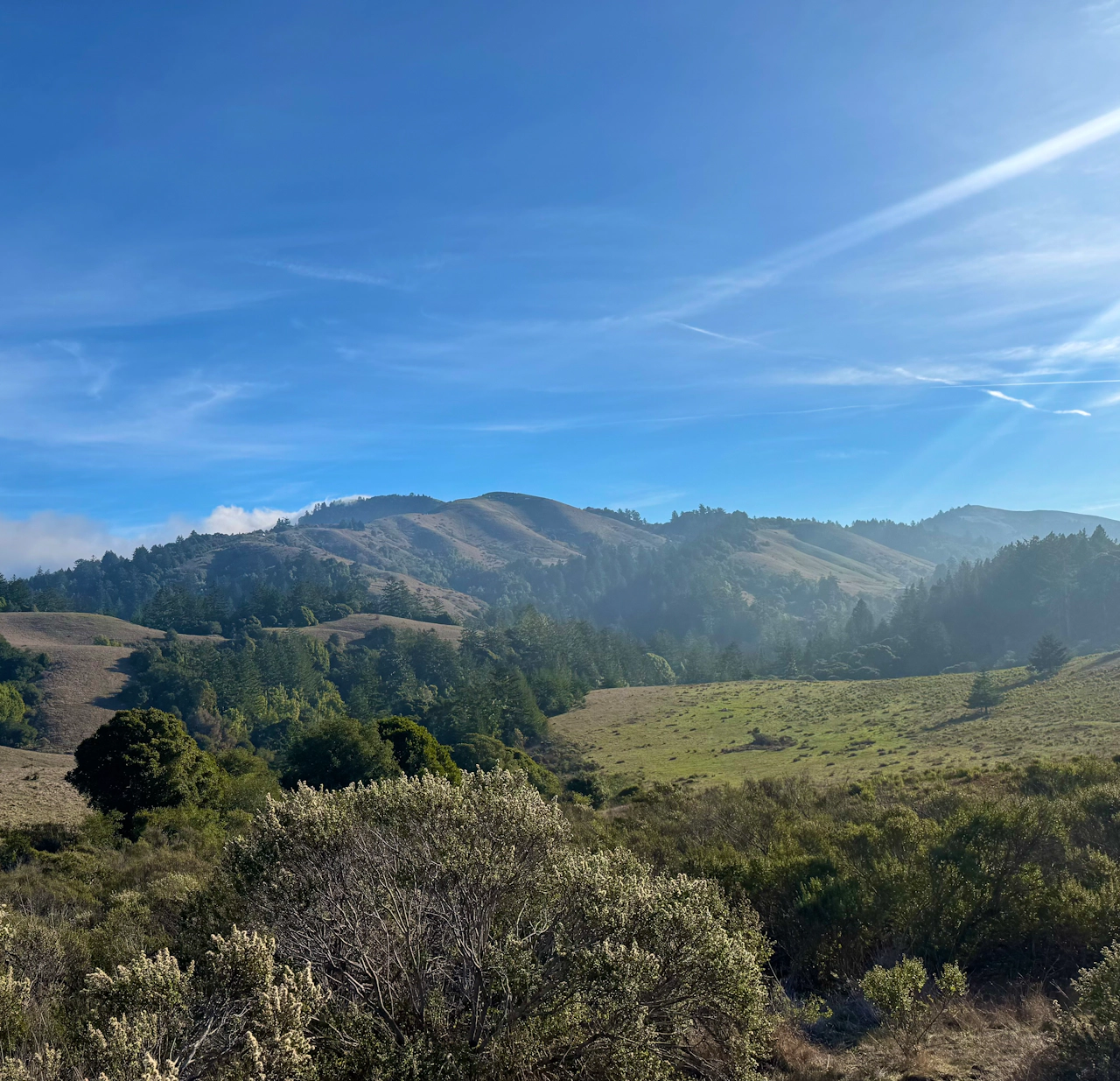
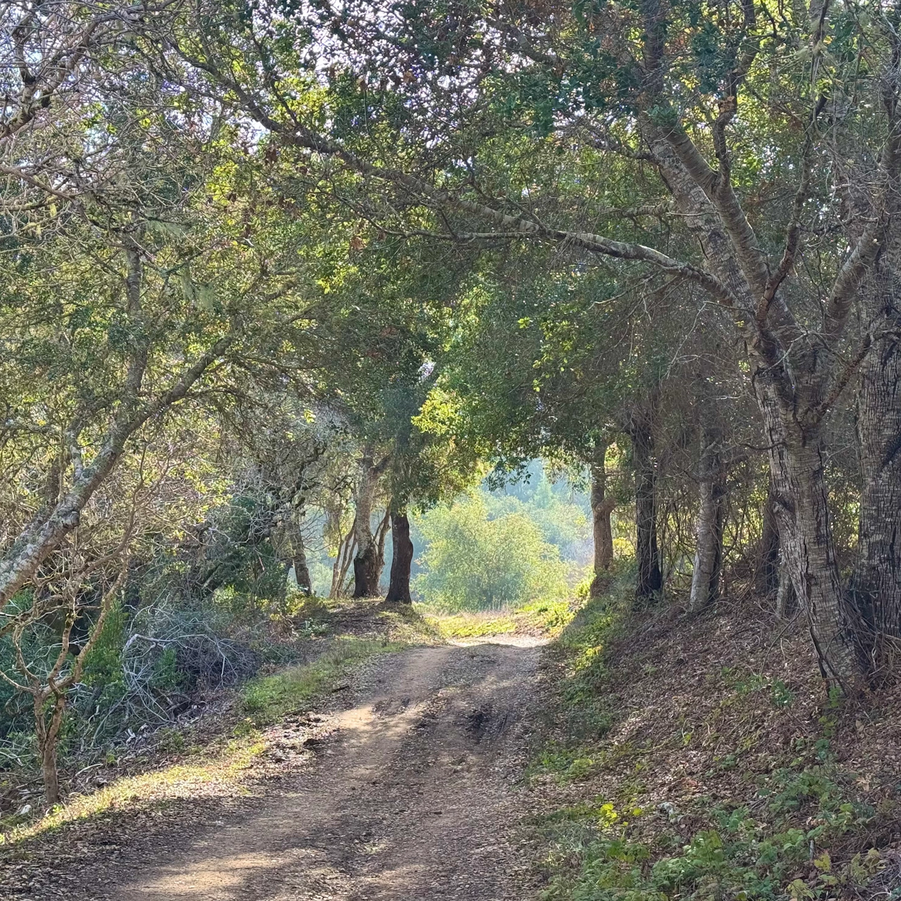
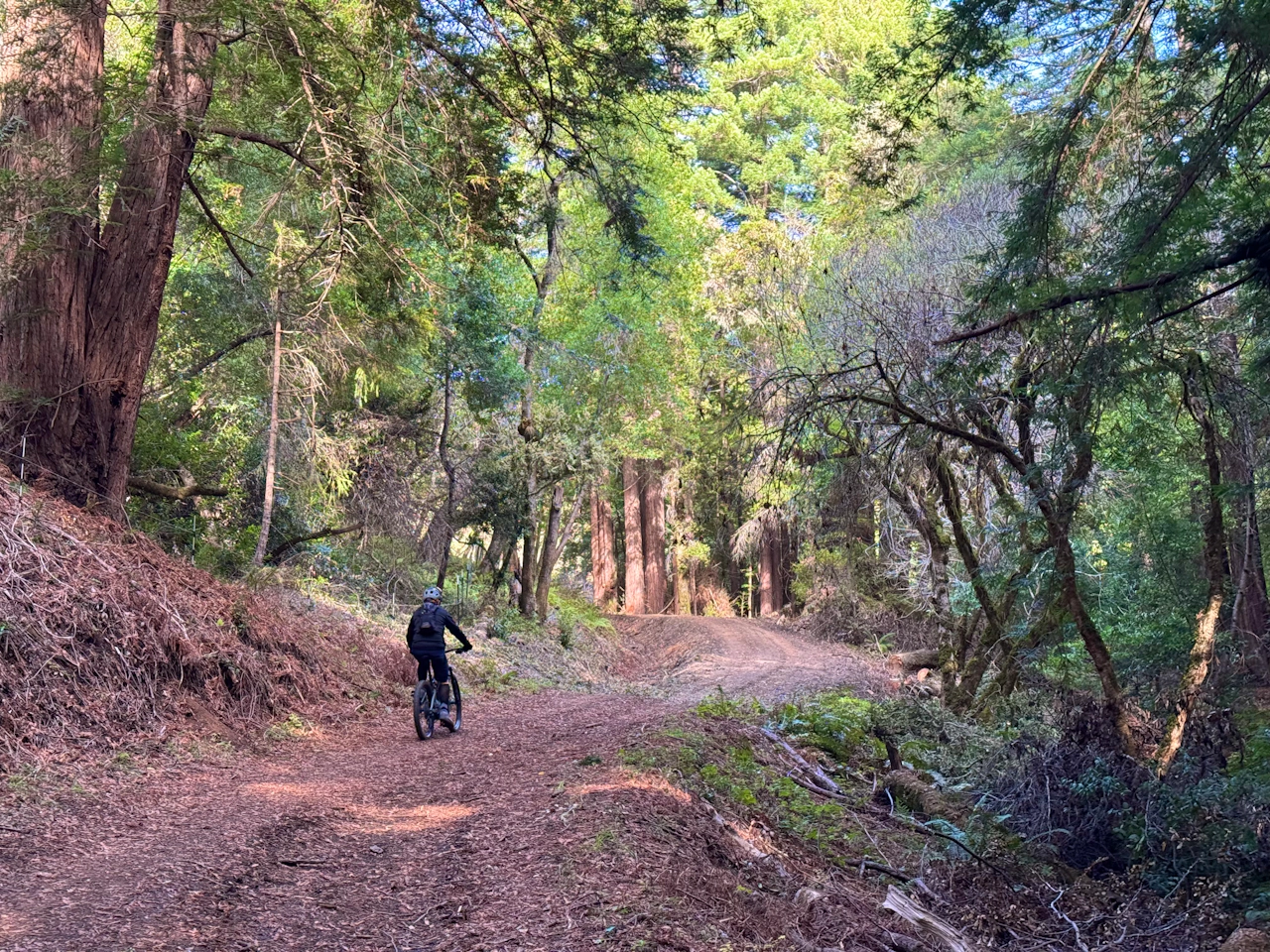
From the Sears Ranch Road parking lot, head north on Harrington Creek Trail, where idyllic green pastures are surrounded by rolling hills. This is a cattle grazing zone, and young, curious calves love to watch hikers go past.
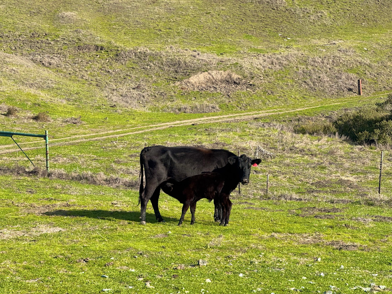
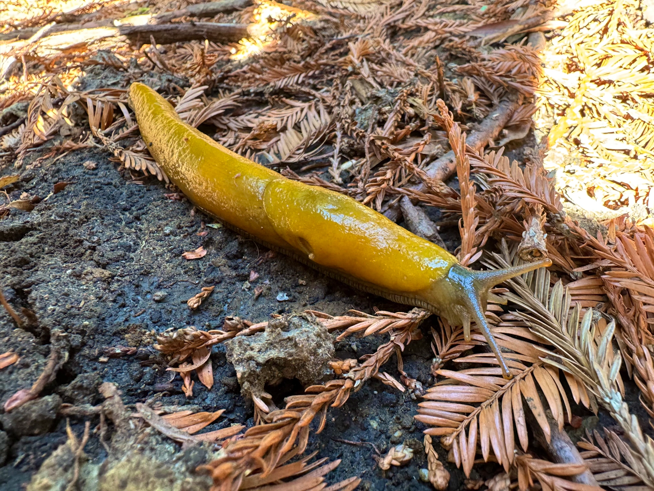
At the intersection with Lonely Forest Trail, turn right. This is the beginning of the brand new trails, and the freshly minted path meanders from open grasslands into the shady redwood forest. Massive fairy rings (circles of redwoods) are a common sight on this trail, while bright yellow banana slugs crawl underfoot among patches of sour wood sorrel.
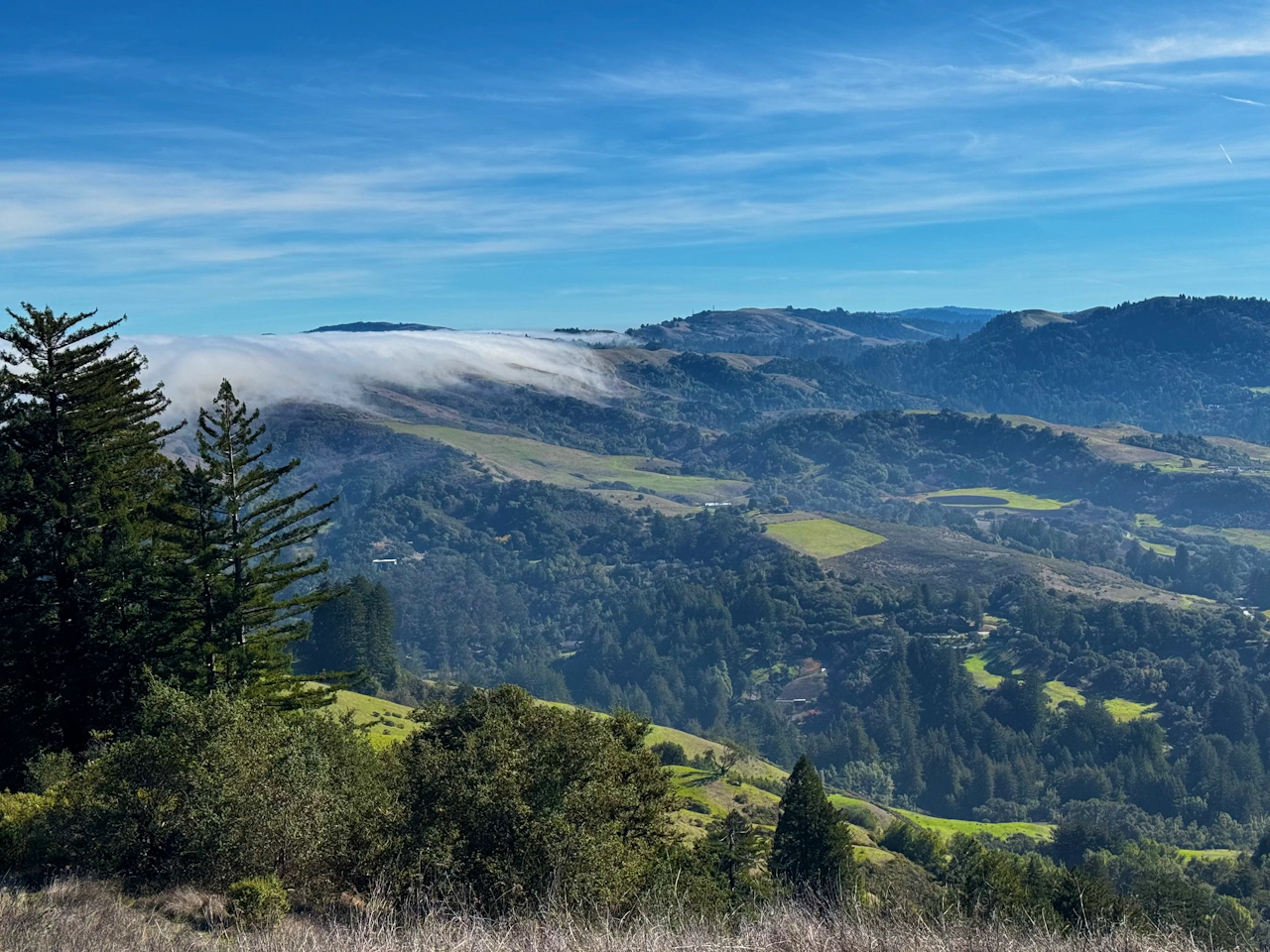
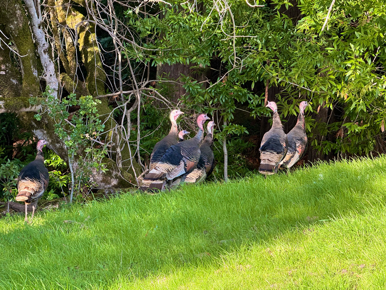
Turn right onto Lone Madrone Trail to catch the first gorgeous views of the hike. The emerald-hued hills are dotted with evergreens, and on cool mornings, the fog rolls over them like ocean waves. Flocks of wild turkeys can be spotted soaking up the sunshine.
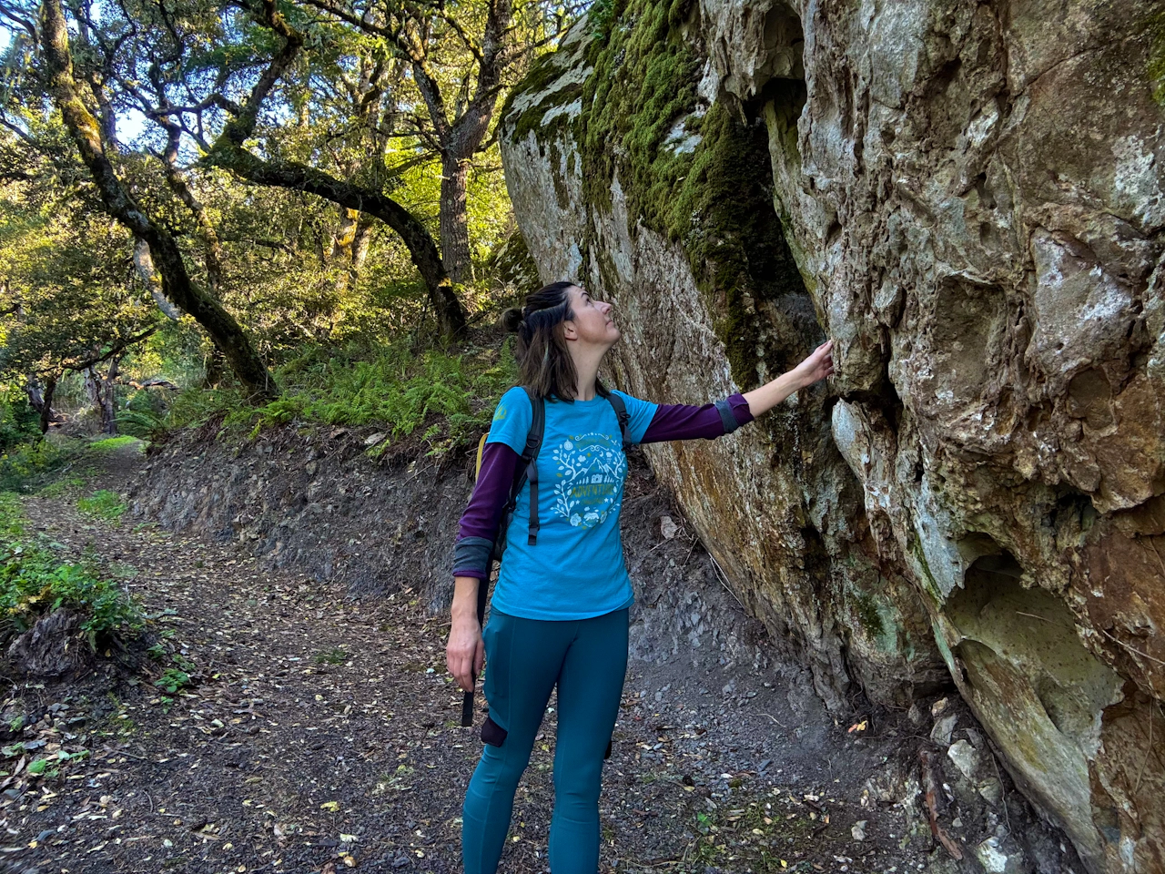
At the next intersection, follow signs for the vista point: the high point of the hike. The route winds past sculpture-like rock formations before leading to an open hilltop. Take a well-earned break as you enjoy the scenery, with viridescent hills stretching from one horizon to the other.
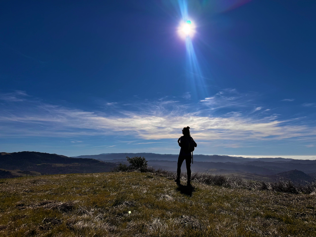
Once you’ve caught your breath, retrace the path back down the hill, and bear right onto the Western Meadowlark Trail. This gentle descent on crushed gravel brings hikers back to the Lonely Forest Trail, where they can follow the route all the way back to the parking lot.
NOTE: Through early May, PG&E crews are working in and around the preserve on their power lines, including the use of helicopters. There may be intermittent trail closures by PG&E as they do this work. Be sure to check ahead for the latest information.
The Sears Ranch Road parking lot is located at 900 Sears Ranch Road in La Honda. Map.
La Honda Creek Open Space Preserve is open a half-hour before sunrise until a half-hour after sunset.
No dogs. Bikes can ride to the vista point via Western Meadowlark Trail, but are not allowed on Lone Madrone Trail.
Story and photos by Heather Werner, heath.er.wer.ner







