Planet Picnic
Hike-In-Picnic at Sonoma's Sugarloaf Ridge State Park


So, you wanna give your love the sun, the moon, the stars … okay. But to turn it up to 11 you’re gonna have to give the planets too! Good thing there’s a state park hike for that. And it includes a brilliant picnic spot set by a giant oak and overlooking a beautiful wine country setting. Sugarloaf Ridge State Park in Sonoma Valley has a really cool 4.4-mile out-and-back hike called the PlanetWalk.
It’s a quiet hiking trail designed as a scale model of the solar system. On the route you’ll pass nine trail signs representing each of the planets in the solar system and providing a visual interpretation of the vast spatial relationships between planets and also their sizes in proportion to the sun, so large that a million Earths could fit inside. It goes to the pinnacle orbit of (now demoted) Pluto. Start at the southeast corner in the parking lot of Sugarloaf’s Robert Ferguson Observatory. From the sign representing the Sun, quickly pass the inner planets and follow the Meadow Trail to Mars, Jupiter, and Saturn.
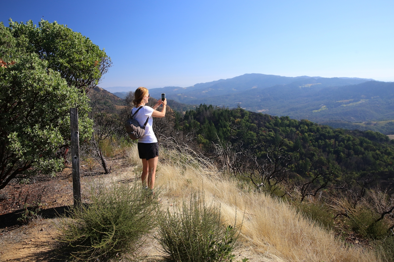
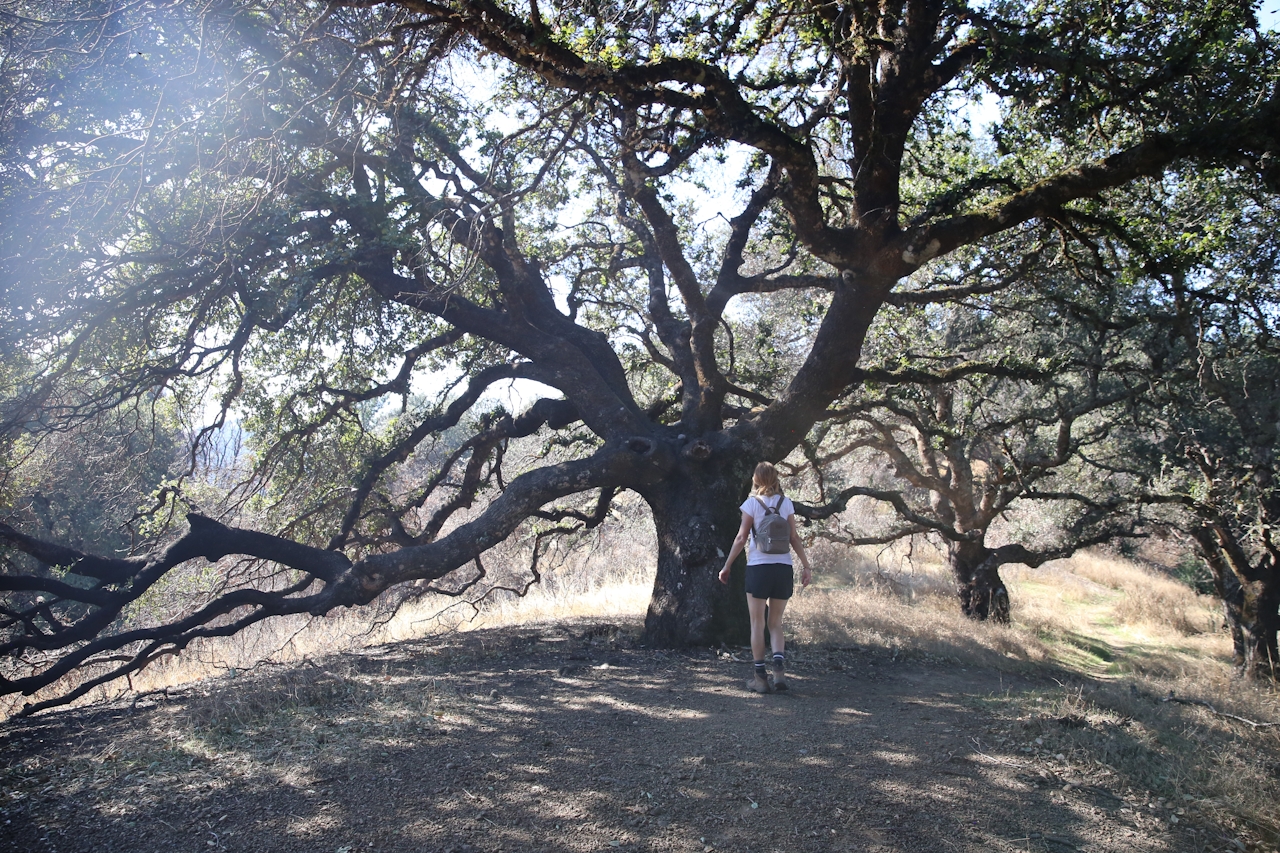
Keep stoking your celestial senses as you climb Brushy Peaks Trail through a forest of bay trees and second-growth redwoods, with Uranus appearing, too (oh, my!), as well as Neptune … and this is where you’ll find the sweet spot! Neptune Picnic Table is a quarter mile past the Neptune sign; it’s a shaded picnic table overlooking an estate that once belonged to the late, great Robin Williams. Hulking trees and possibly some squirrels and birds are the only company you’re likely to have here. So break out the good stuff and toast the sunshine in your life, the one who makes you all starry eyed, the person you love to the moon and back … to planet Earth. (Just keeping it real.) Return the way you came for a 3.5-mile out-and-back journey. If you want to complete the full PlanetWalk at 4.4 miles (round-trip), head to Brushy Peaks, just past the Pluto sign. A spur trail leads to gorgeous views.
TIP: Want to save your picnic for the end of the hike? Enjoy it at one of the tables located just outside the Robert Ferguson Observatory or by the main parking area, where you’ll find a cluster of delightful picnic tables near the campground.
No dogs (except in the campground). More info and maps.







