The Holey Spirit

Hike Hole in the Wall Rings Loop in the Mojave Desert

hiker going up a ring cable in Hole in the Wall Rings Loop Trail in the Mojave Desert

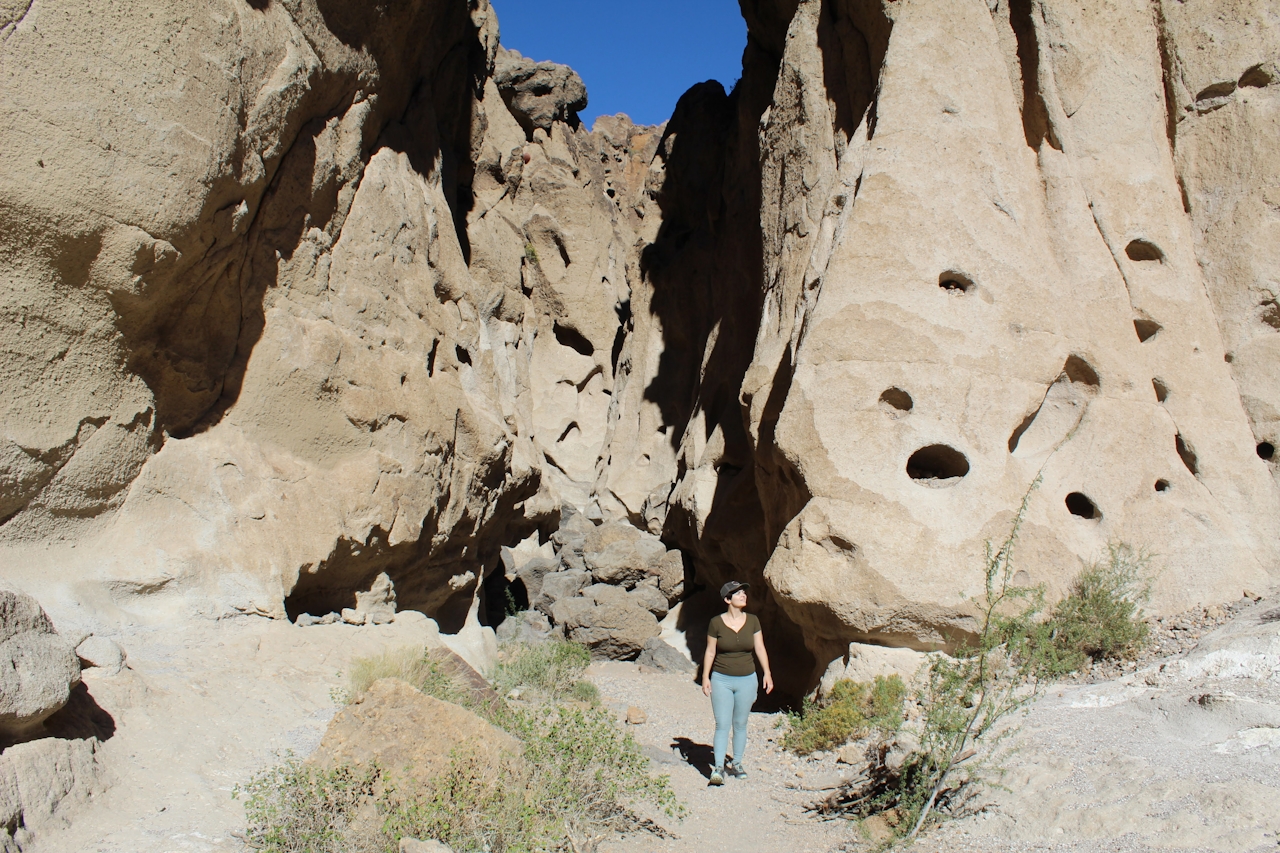
Hole-in-the-Wall Rings Loop Trail serves up the best parts of the Mojave Desert, all in a 1.3-mile loop: vista views, rare geological features, and even a climb through a slot canyon. The trail name is one of the most literal ever, taking you around and through Banshee Canyon, which is full of—yes—holes and rings.
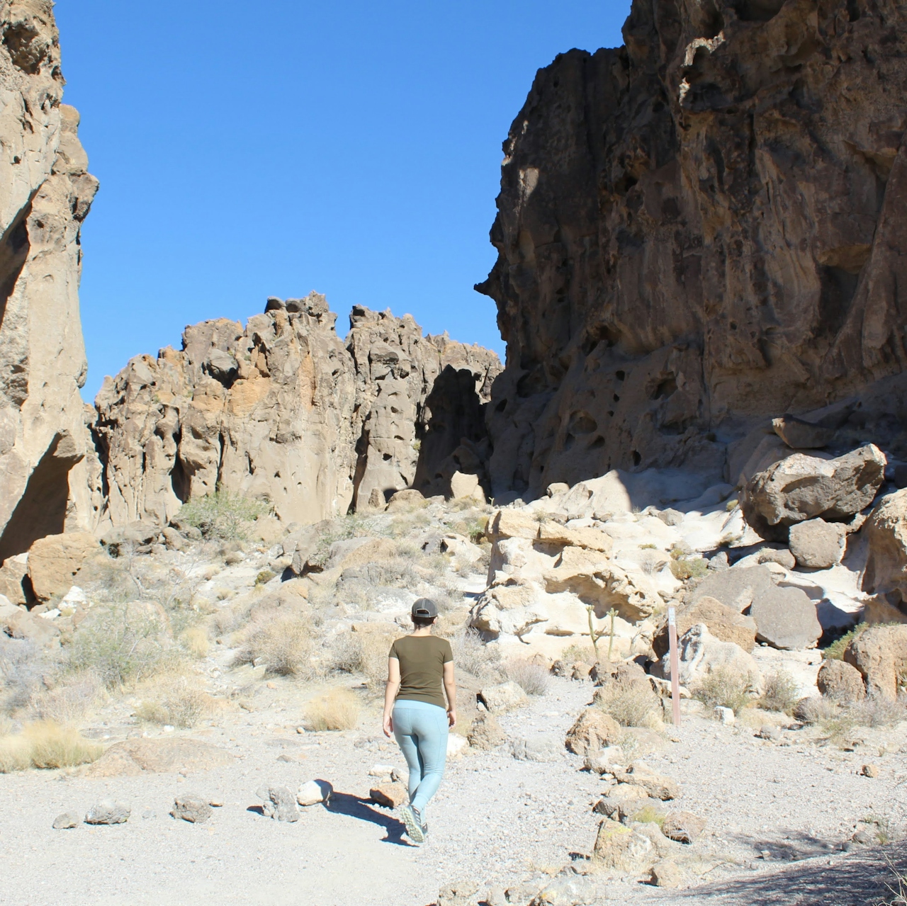
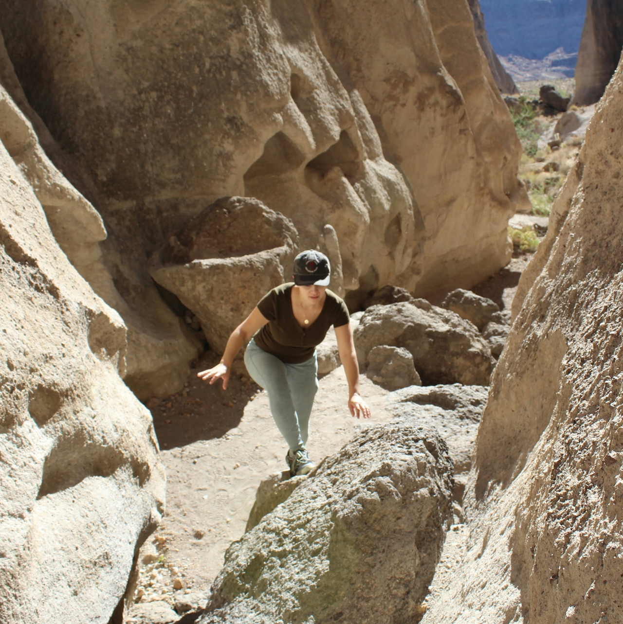
Hiker heading up to hike through a canyon in Hole in the Wall Rings Loop in Mojave Desert

Hiker going up between canyon walls at hole in the wall canyon Mojave desert

Hiker coming out of a canyon at Hole in the Wall Rings Loop Trail Mojave Desert

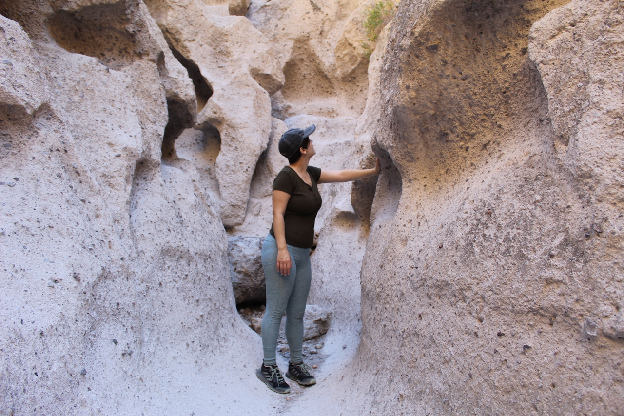
A violent volcanic eruption is the cause of this trail’s particular features. Ash and debris flying at supersonic speeds crashed through the landscape. The mixture of gasses and heat created air bubbles in the molten rock walls, which left behind countless caves and created Banshee Canyon’s Swiss-cheese-like appearance.
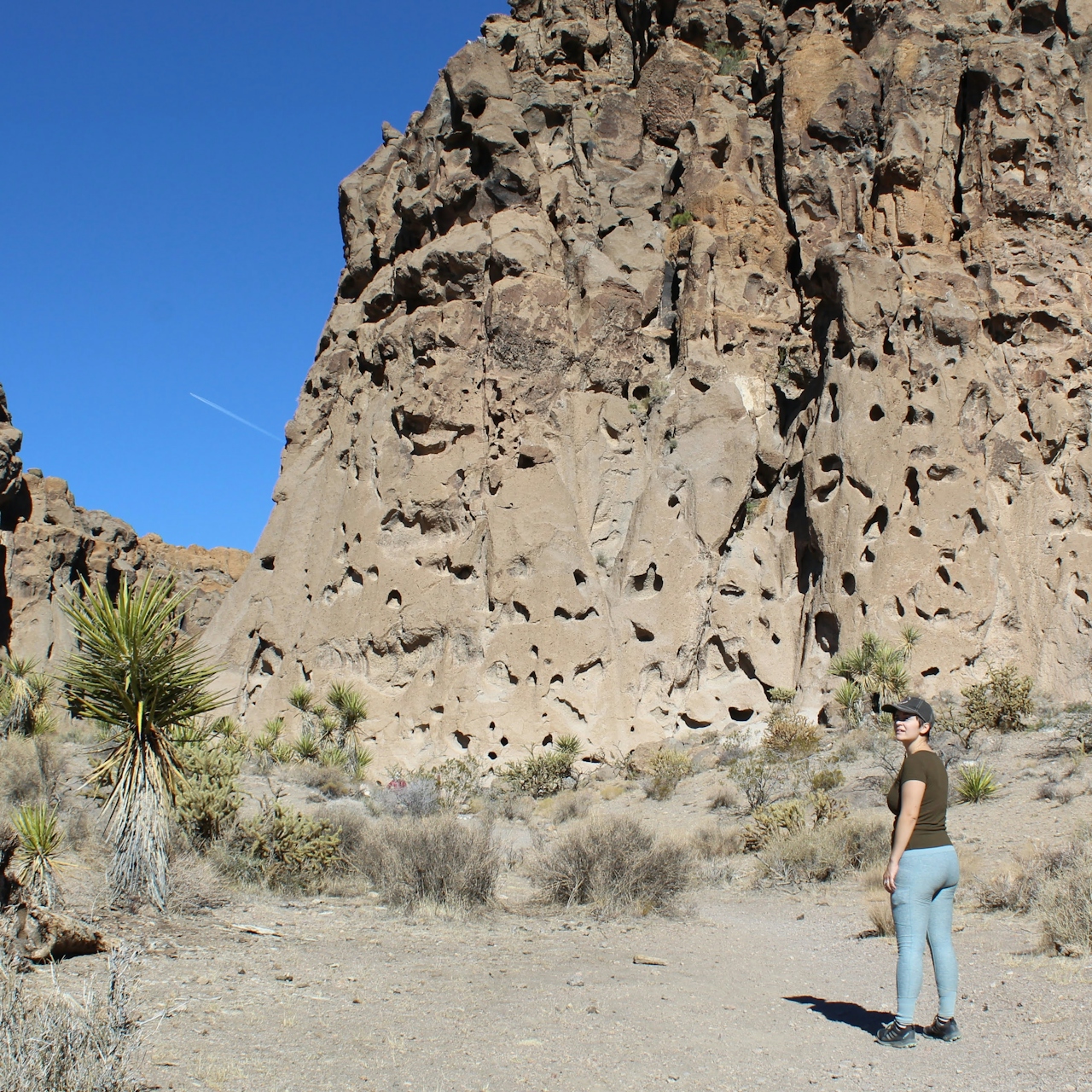
Hiker standing and looking at the holed sand formations at the Mojave Desert

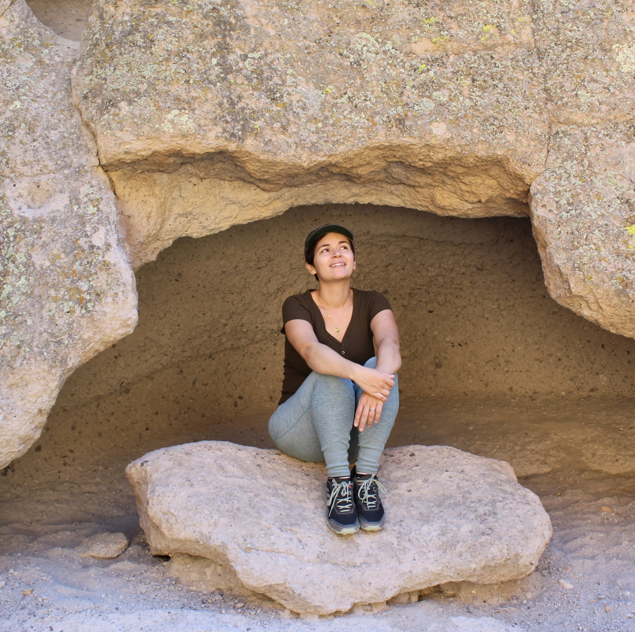
Hiker sitting on a large rock under a cavern in Hole in the Wall Rings Trail Mojave Desert

Hiker in a canyon feeling the sandstone formation at hole in the wall rings trail at Mojave Desert

This loop has two options to start from. The better of the two starting points is from the parking lot of the Hole-in-the-Wall Information Center. From this point the trail is like a three-course feast for the eyes; it gets better and better as you go along. The first section follows the outside of the canyon. You’ll pass through a designated opening in a barbed-wire fence and walk along a small sandy wash lined with sagebrush, creosote bushes, and cholla cacti.
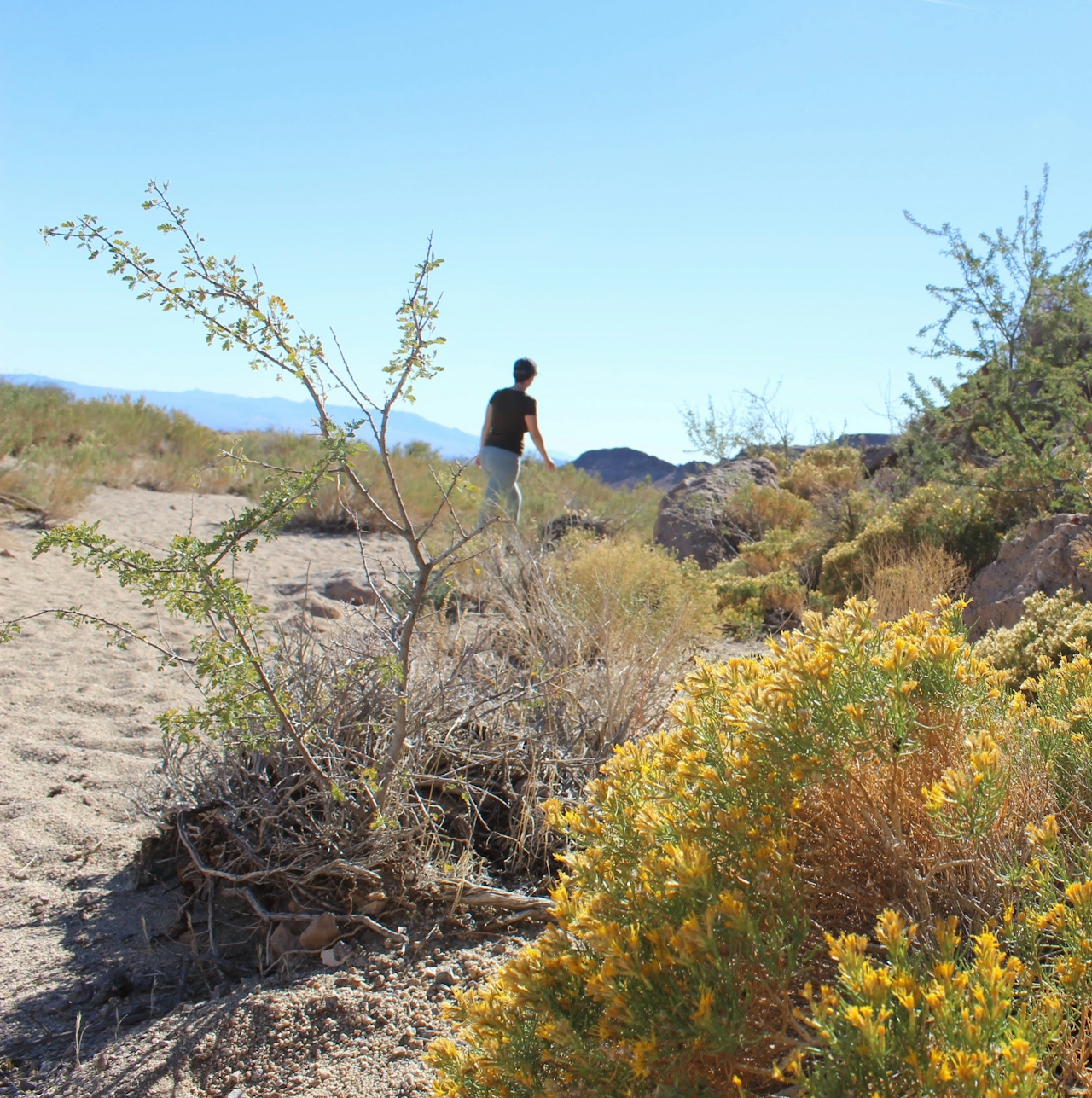
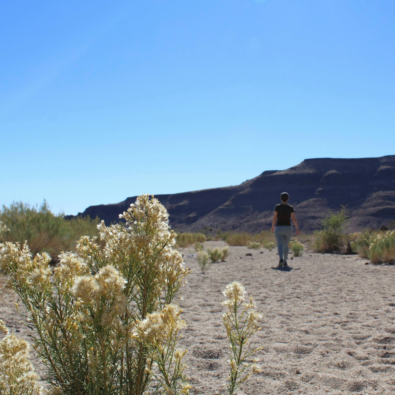
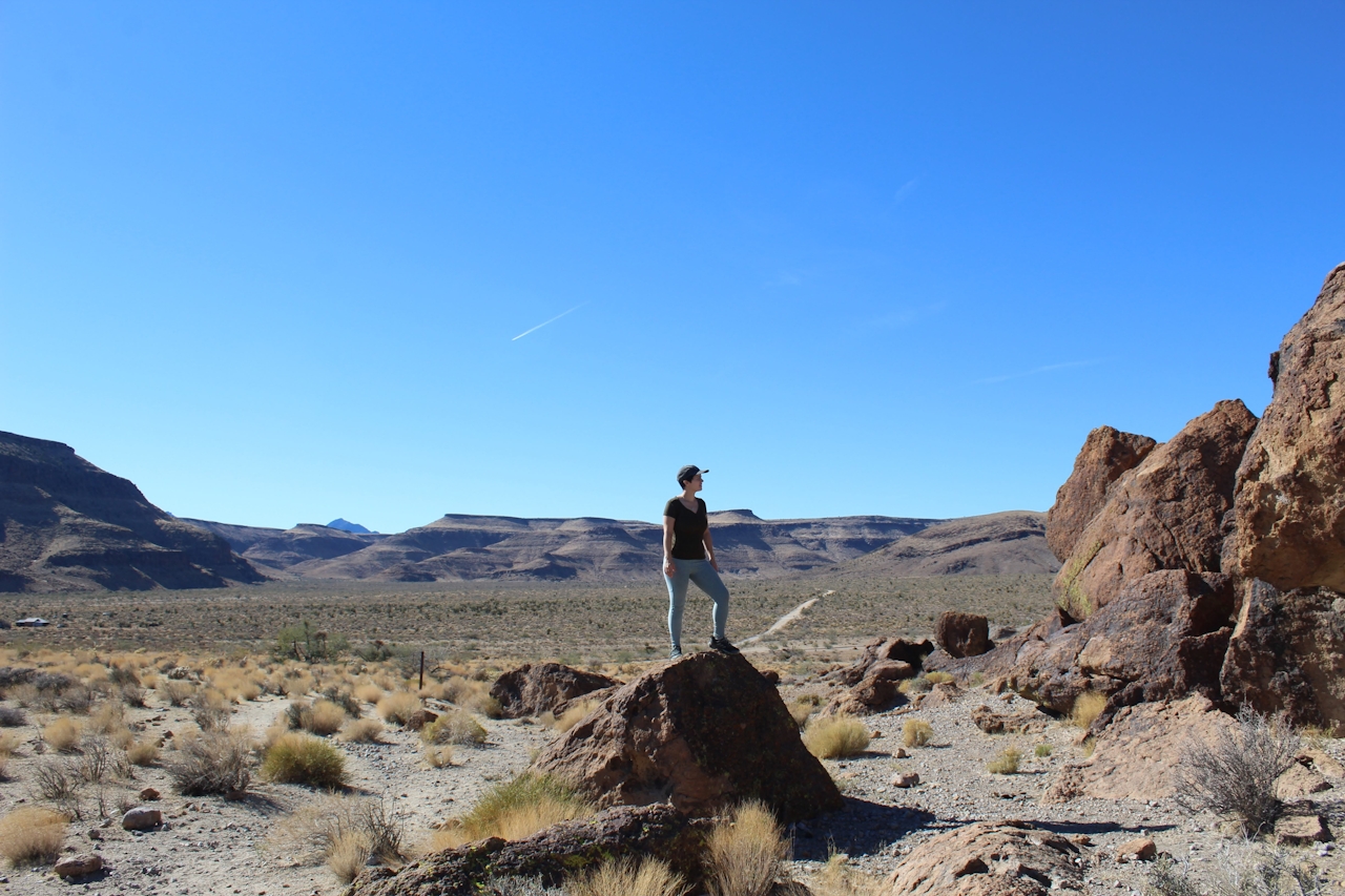
As you gradually turn right on the loop, a panoramic view of the Mojave’s flat-top mesas along a large valley will appear. At almost 1 mile in, you will come to the entrance of Banshee Canyon. The trail starts to become rugged and the canyon walls draw in tighter. Stick to the left side of the canyon and you’ll see the climbing rings after bounding over some boulders. There are two sets of rings that will take you to the crest of the canyon. From there you can follow the dirt road through the Hole-in-the-Wall campground back to the visitor center.

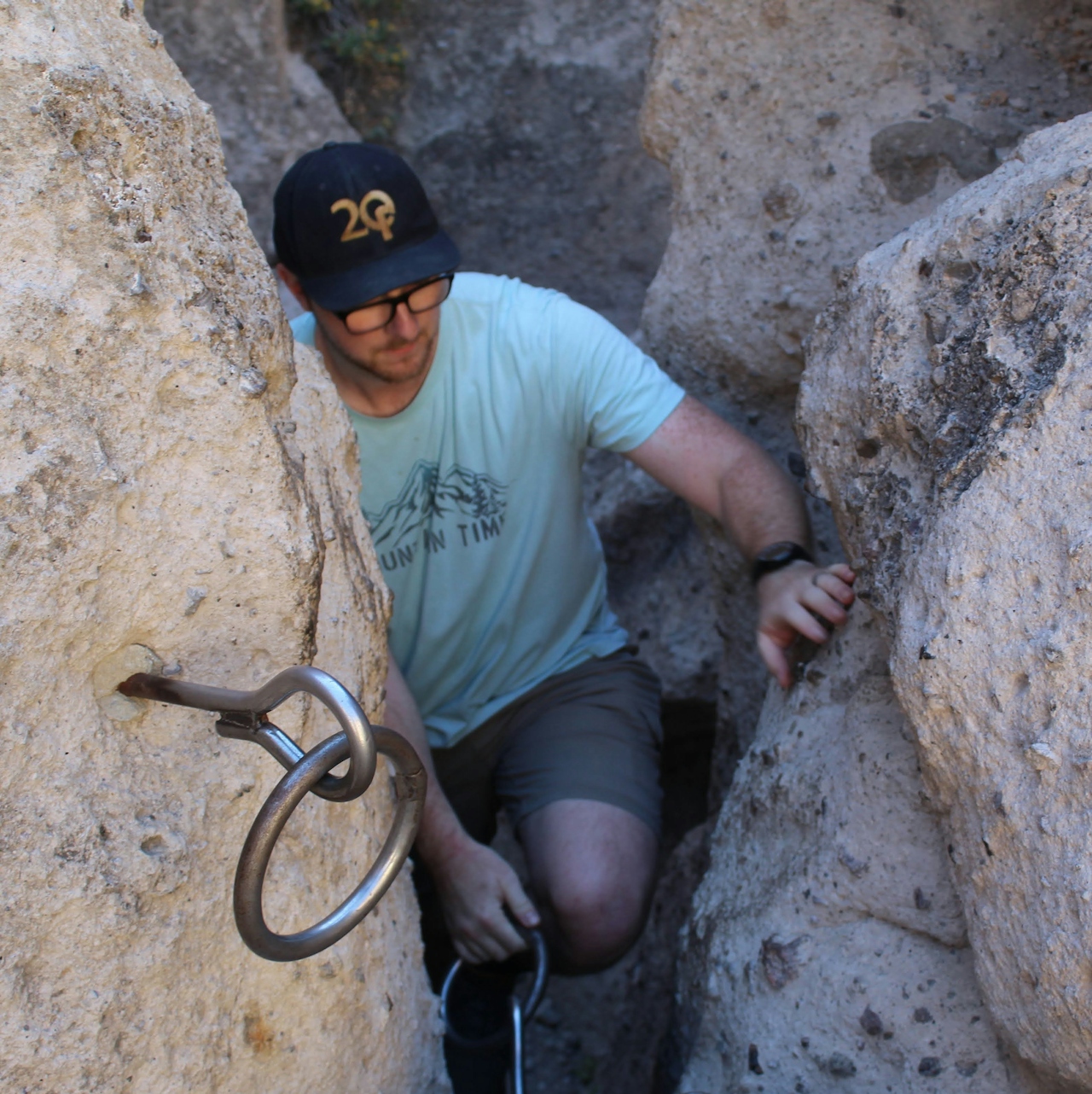
Hiker using ring cables to go up a canyon at hole in the wall rings trail loop in the Mojave Desert

Hiker standing on a giant boulder overlooking the Mojave Desert

While you’re taking a break in one of the micro-caves, be sure to also stop and take a closer look at many of the rocks that still retain petroglyphs from the ancient Mojave people. From big views to small canyon slots, this adventure highlights the best of the Mojave!

BONUS: If you take a right turn and follow the lookout signs at the end of the rings loop, you’ll come to a hidden canyon lookout.

From the I-40 east of Barstow, take Exit 100, Essex Rd. After 10 miles turn right onto Black Canyon Rd. After another 10 miles turn left onto a dirt road at the sign for the visitor center. The road is paved well enough for any car to make it to the parking lot.

Story and photos by Ben Replogle, @big-mountain_moose

Trending Stories NorCal

View all Stories
  1. Roaring Redwoods

    Tucked next to brilliant Henry Cowell Redwoods State Park in Santa Cruz, the folks at Roaring Camp Railroads had a bright idea: When the sun goes down, the rainbow lights come up. Sequoias at Night brings big magic to some of the tallest trees in the world.

    View
  2. Barbary Coast Trail medallion hike in San Francisco

    Medallion Walk SF

    The Barbary Coast Trail is a 3.8-mile historical walk and treasure hunt through San Francisco. Be on the lookout for hubcap-sized bronze medallions placed on the city sidewalks with arrows pointing you in the right direction.

    View
  3. Greater by the Dozen

    This hike is anything but a dime a dozen. The all-new "Golden Gate Dozen Trail" links 12 National Park sites on a spectacular 13-mile journey across San Francisco's coastline.

    View
  4. Inn-spiration Point!

    For more than a century, people have been hiking or mountain biking to West Point Inn for good reason. Perched at 1,785 feet on the southern slope of Mount Tamalpais, the historic inn has sweeping views from the Marin Headlands to the San Francisco skyline.

    View

Trending Stories SoCal

View all Stories
  1. There's Always To Moro!

    Looking for a rock-solid itinerary in Sequoia National Park? Pair the park's most famous viewpoint with one that's often overlooked.

    View
  2. Rancho Style

    Vicente Bluffs Reserve dazzles anytime, but during the golden hour it’s an absolute knockout. Majestic rocky bluffs, dreamy ocean views, and a picturesque lighthouse are just a few of the reasons.

    View
  3. A Thousand Steps to Paradise

    A picture is worth a thousand words, but is a gorgeous beach in Laguna worth a thousand steps? The answer is yes, though the question is moot, because it’s only 223 steep steps down to the 400-yard stretch of sand known as 1000 Steps Beach.

    View
  4. Hike to the Sierra Buttes Fire Lookout in the Lakes Basin

    Lookout for This View!

    Sierra Buttes Lookout, at a lofty 8,591 feet, is a memory maker for its pucker-worthy stairway to the tower’s balcony. It's a 5-mile (round-trip) hike to reach it. And the reward? Epic!

    View