Berry Good Hike (or Bike)
Hike amid beautiful forest in Sanborn County Park in the South Bay


This 7-mile out-and-back through Sanborn County Park has big views of the South Bay and offers some reprieve from summer heat thanks to shaded sections among towering firs.
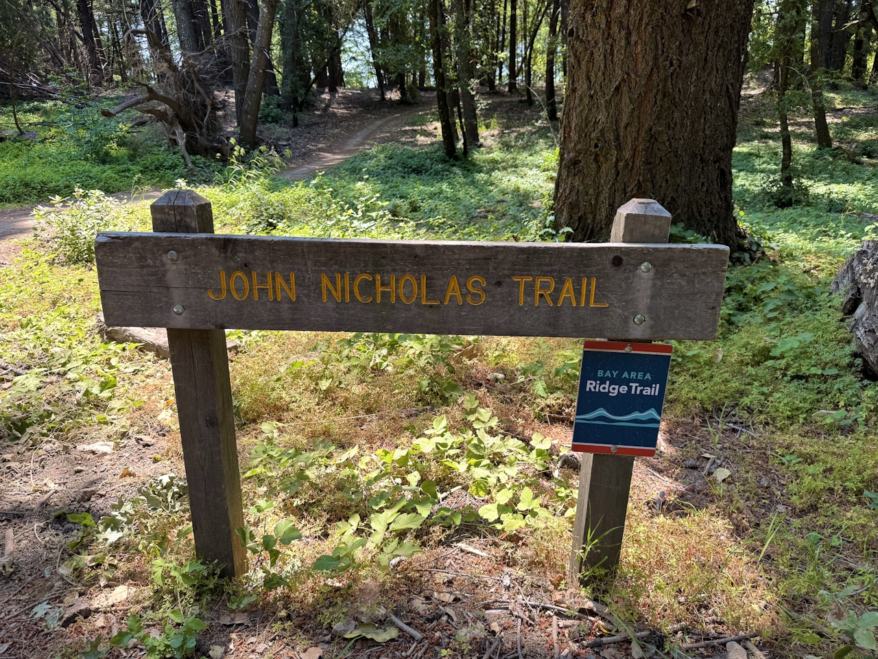
From the Sunnyvale Mountain parking lot, head north on Skyline Trail, then turn right to begin your journey on the John Nicholas Trail. With a starting elevation of nearly 3,000 feet, this route is a long, winding descent down the mountainside.
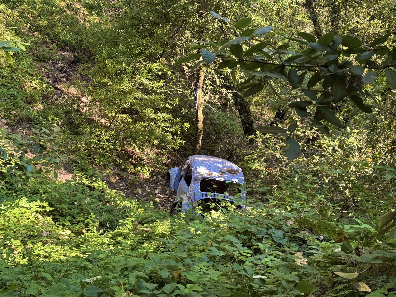
The first stop is the vista point. Kick back on the wooden bench and enjoy views of the South Bay, stretching all the way across San Jose to the East Bay hills. At the next curve in the trail, look downhill to the famous Volkswagen bug, slowly being reclaimed by nature.
Get Our Weekly Email
Find inspiration and ideas for outdoor adventures and travel in California and the West.
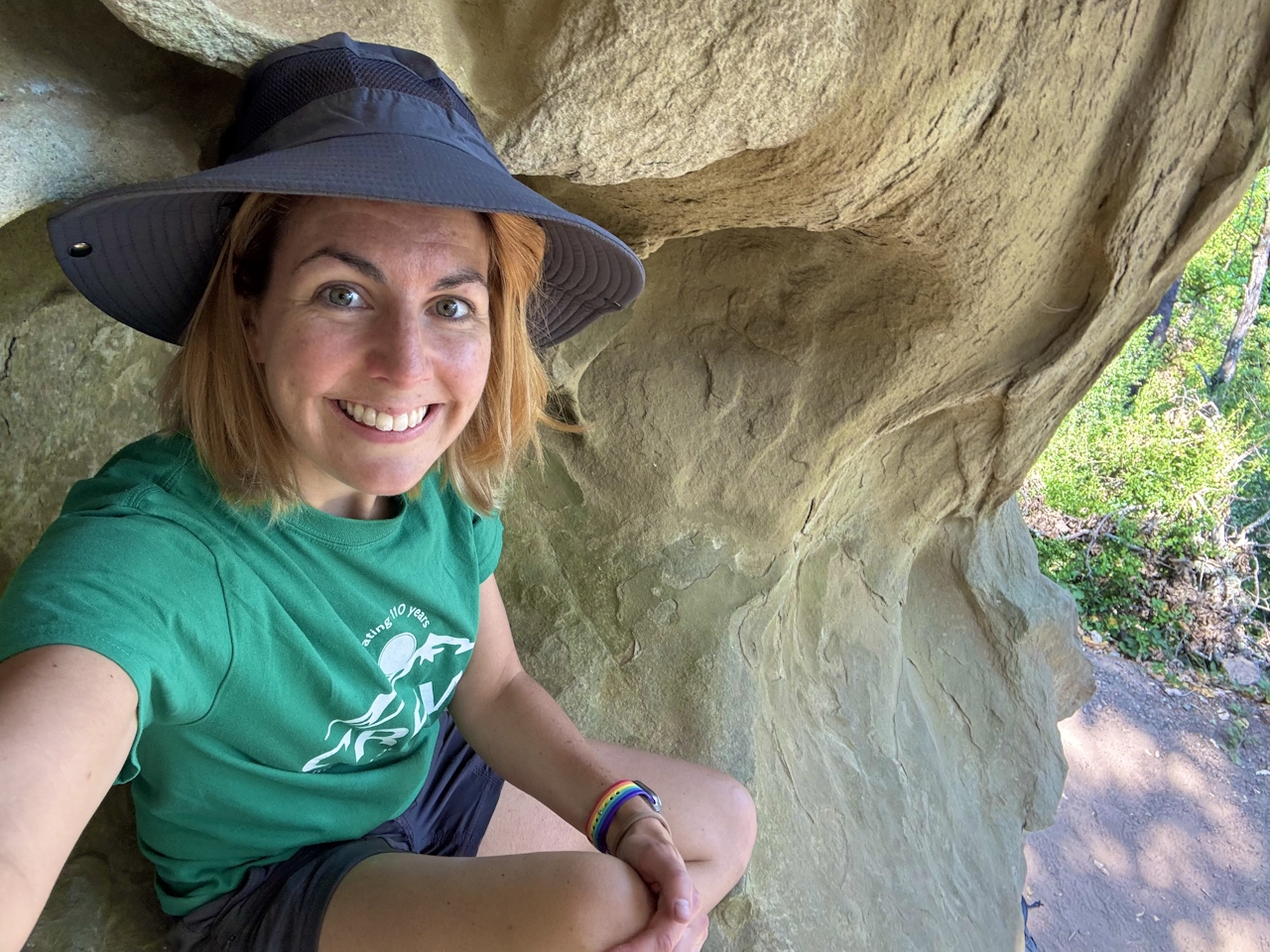
The next set of switchbacks curves around a massive boulder, a great place to stop for a break (and a rock climbing pit stop for more adventurous hikers).
As hikers continue downhill, the trail becomes awash with blackberry fields. These Himalayan blackberries are an invasive species in the Bay Area, and have become a (very tasty) pest in the park. Hikers who are feeling a little peckish can sample the ripe berries while they walk.
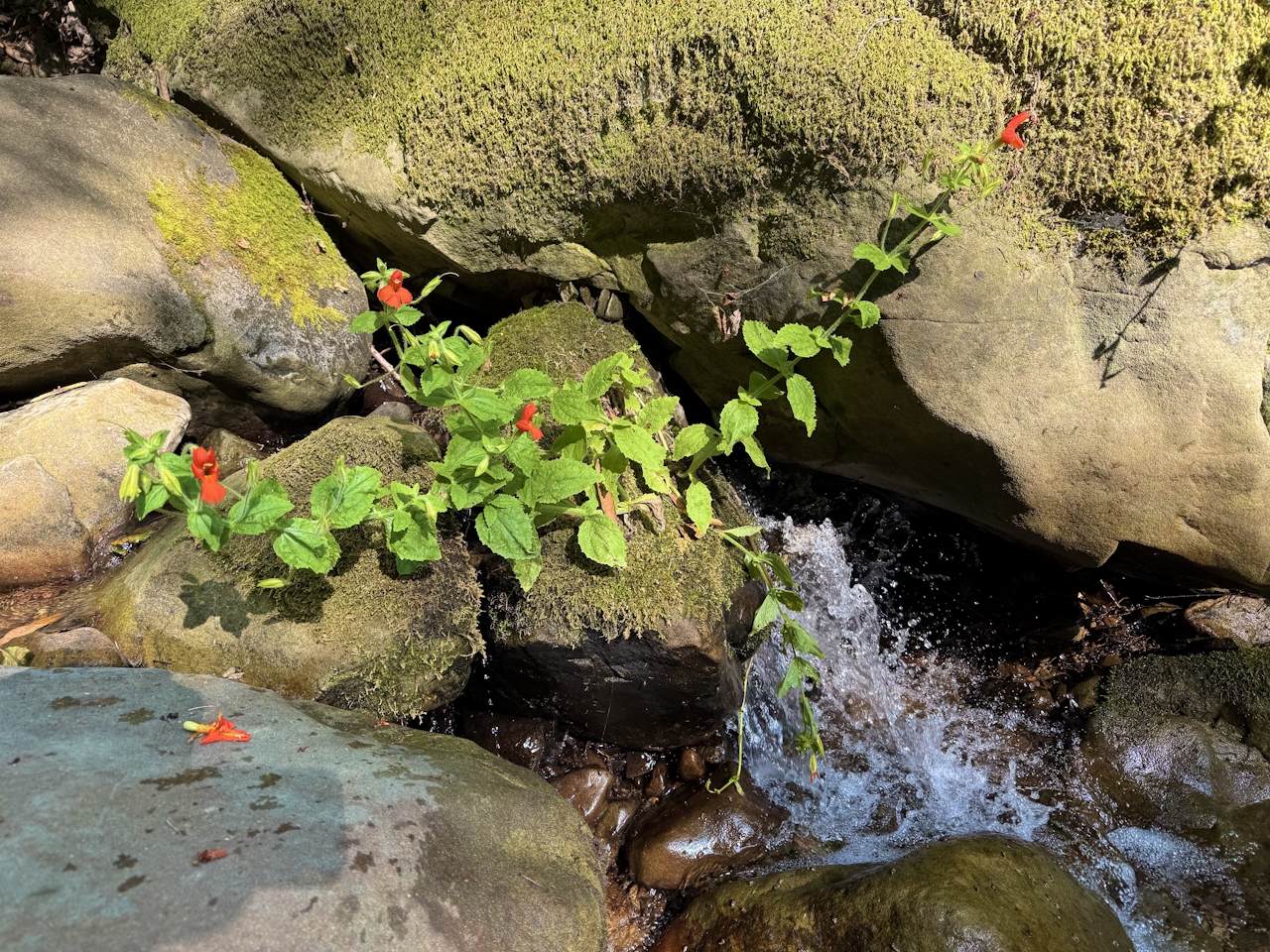
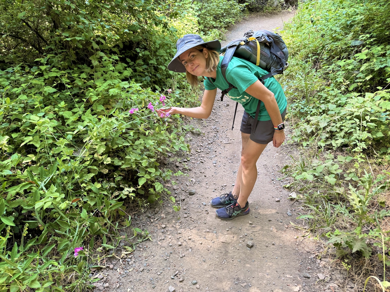
Nearly 1,000 feet below the trailhead, cross the creek for the final surprise of the hike: fields of brilliant fuchsia sweet pea flowers. These blossoms—another invasive species—brighten up the trail as it leads to the Lake Ranch Reservoir.
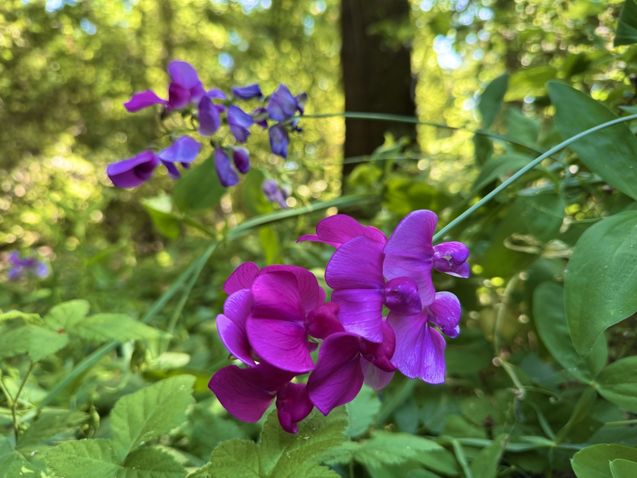
Photography buffs can capture shots of bees and butterflies in the blooms, or walk down to the reservoir and hunt for newts and frogs.
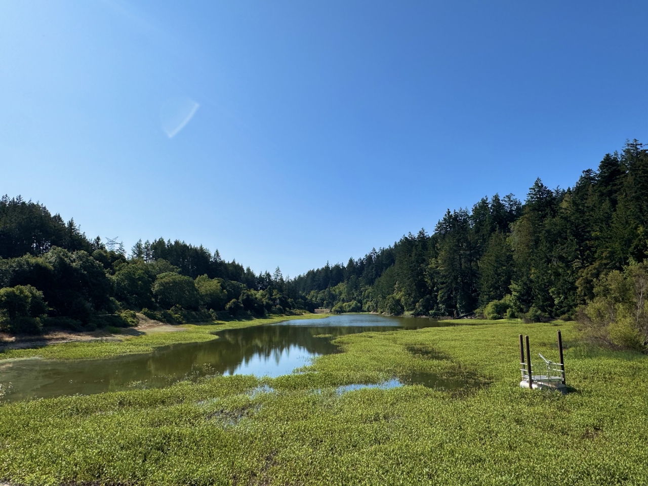
Stop for lunch at the picnic tables, then retrace the route back uphill to the parking lot.
The Sunnyvale Mountain parking lot is located at16868 Skyline Blvd. in Saratoga. Map. Sanborn County Park is open from 8 a.m. to sunset. Bikes and dogs welcome.
Story and photos by Heather Werner, @heath.er.wer.ner







