Hike the Pioneer Trail

Hike along the North Fork of the American River

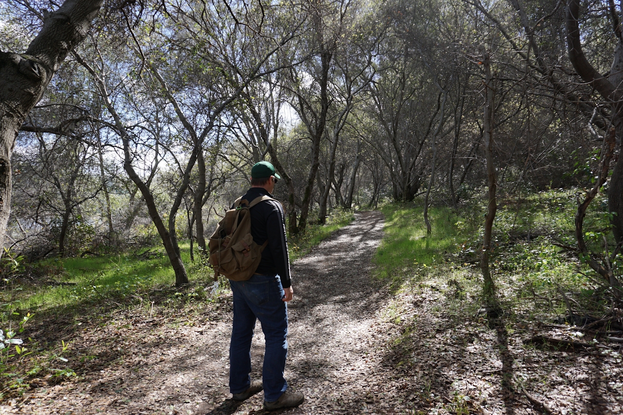
Wildflowers unfurling from their winter slumber, birds chirping in the trees, turtles warming themselves in the sun—find your Zen early this spring with a mellow and scenic hike to Avery’s Pond along the North Fork of the American River. The 19th-century irrigation pond is accessed via the Pioneer Express Trail near the top of Folsom Lake.

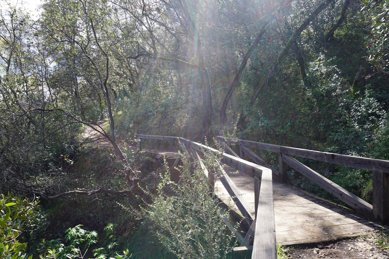
The trail begins with a steep, rutted incline but quickly mellows into gentle twists and gradual rises. At the top of the canyon the bare trees of early spring grant stunning views of the tranquil river below, otherwise blocked by summer foliage.
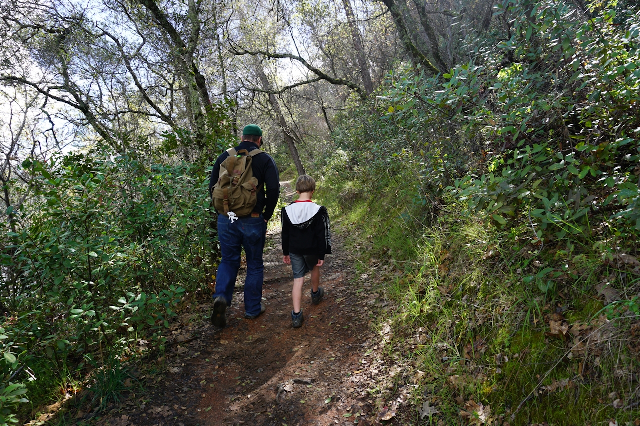
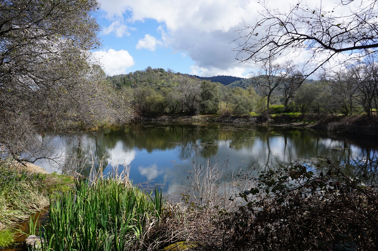
The trail flattens and widens as it descends then loops around the pond itself. If you’re feeling ambitious, you can continue another 5 miles to Auburn. Otherwise, grab a picnic table hidden among the trees.

Beer Bonus: Back in Sacramento, head over to Porchlight Brewing Company (866 57th St., Sacramento) for a little R&R. Try the mouth-puckering blackberry sour or the cocoa-infused barrel-aged stout. Heaters on the outdoor patio keep the spring chill at bay, and neighboring restaurants are happy to deliver if you need a bite. On weekends, local musicians grace the stage … errrr, rather, the back corner of the tasting room.

To reach Avery’s Pond Trail, take the Folsom Blvd. exit from eastbound Hwy. 50 in Folsom and turn left. Continue northeast on Folsom Blvd. It will turn into Folsom Auburn Rd. Auburn Folsom Rd. Continue about 16 miles and turn right on Newcastle Rd. Veer right onto Rattlesnake Rd. and follow it until it dead ends at the parking lot. The unmarked trailhead is to the left of the boat ramp. Parking is $12.

Trending Stories NorCal

View all Stories
  1. Woman with her arms outstretched to the rolling hills scenery while on a rock outcrop at Barnabe Peak in Samuel P Taylor Sate Park in Marin

    Barnabe Bonanza

    Sure, there are higher mountains in Marin (Mount Tam) and easier ascents (Mount Burdell), but is there a more expansive North Bay view? Barnabe Peak in Samuel P. Taylor State Park offers a glorious panorama including Mount Tam, Mount Diablo, and Mount St. Helena.

    View
  2. Tamtastic Sunset

    Sure, the East Peak of Mount Tam is absolutely spectacular at sunset, but some magic-hour enthusiasts head to a nearby spot, Trojan Point, for a little more personal space in their panoramic viewings.

    View
  3. Hiker on the SCA trail in Marin Headlands with view of the Golden Gate Bridge

    Headlands Over Heels

    People come from all over the world to get a glimpse of the Golden Gate Bridge. Get a dramatic and novel view of the bridge without all the people on this moderate 6-mile hike in the Marin Headlands.

    View

Trending Stories SoCal

View all Stories
  1. Sponsored

    Boo-tifall Reno Tahoe

    Fall goes fast. Good thing Reno Tahoe knows how to make the good times last, with some of the West’s best harvest fairs, haunted happenings, and only-in-Reno celebrations.

    View
  2. Woman hiking the San Onofre Bluffs Loop Trail to San Onofre State Beach in San Diego County

    Bluffing Good!

    Lovely coastline, beautiful beaches, unique geological history, and picturesque sandstone cliffs with limited foot traffic in San Diego County? Head to San Onofre State Beach and the 5-mile San Onofre Bluffs Loop Trail.

    View
  3. Can We Get a Whoop Whoop!

    City, mountain, and ocean views all in one hike? Whoop whoop! It’s no surprise the the Kenter Fire Road and Whoop-de-Doos Trail (a combo of fire road and singletrack) is a favorite among local mountain bikers and hikers alike.

    View