Psychedelic Lava
Exploring Fossil Falls


You’d be hard-pressed to find a volcanic landscape in California as memorable and psychedelic as Fossil Falls. This chasm of water-sculpted lava rock in the Coso Mountain Range northwest of Ridgecrest was carved thousands of years ago by the Owens River after an eruption dammed the water’s course, causing it to flow over the basalt lava bed here.
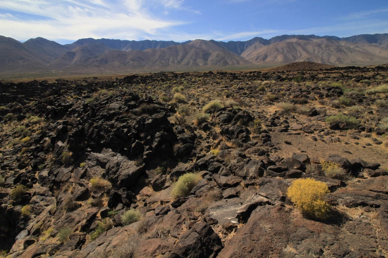
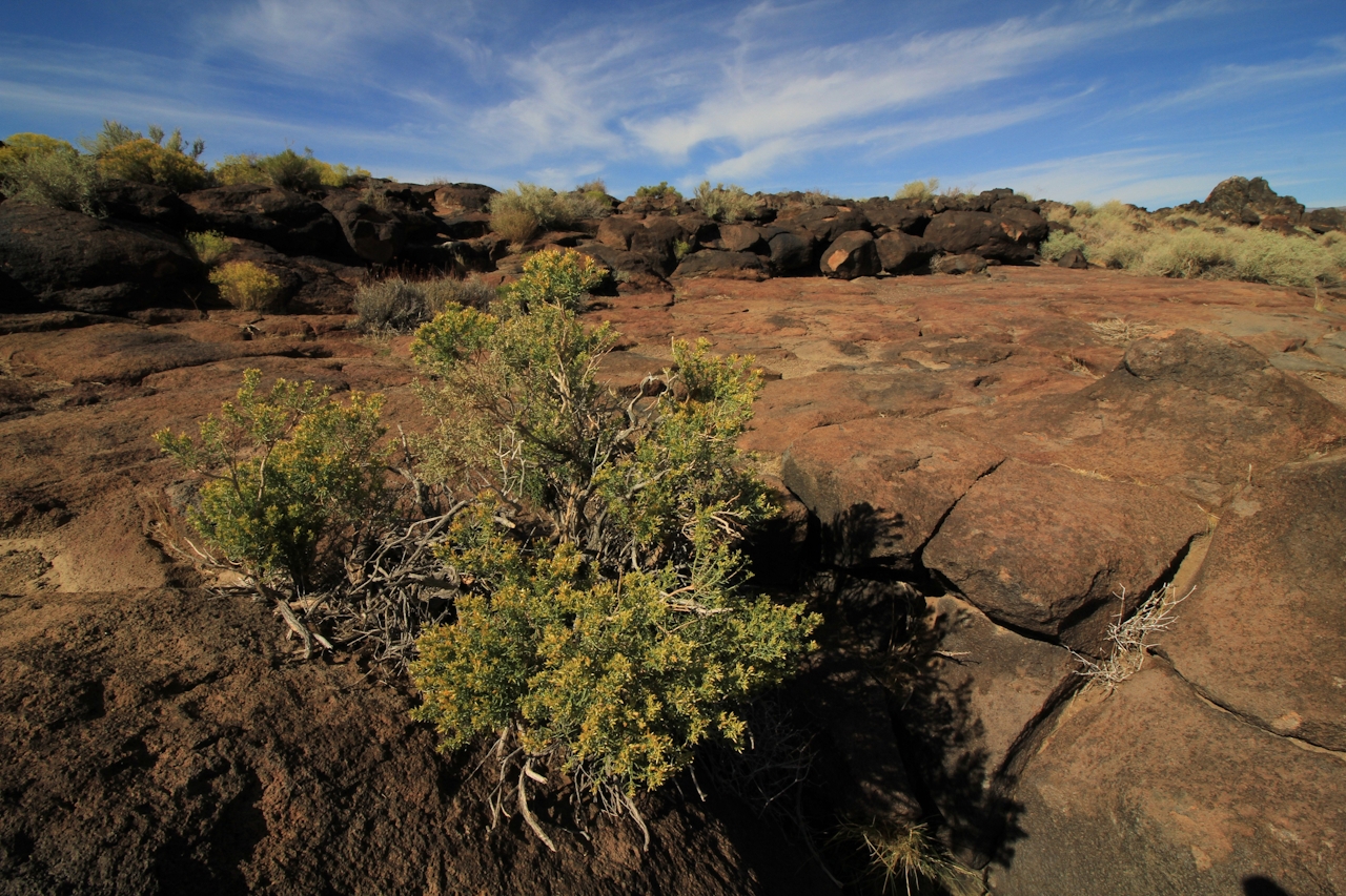
Getting to Fossil Falls is simple—it’s just off US-395 and the hike takes just a few minutes—but you can easily spend two hours wandering its extraordinary environs. The quarter-mile trail cuts over a flat, craggy lava field flecked with burrobush and other yellow-flowering plants that appear to glow when cast in direct sunlight against dark rock.


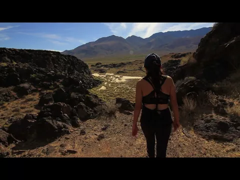
A red cinder cone rises to the north, part of an extinct chain of volcanoes in the Coso Range eastward, and the Sierra Nevada provide a majestic backdrop to the west. The deep fissure of Fossil Falls reveals itself abruptly at trail’s end. To the left, where the lava bed erodes and splits open, the basalt chasm looks like a hell demon’s acid trip etched in stone. Polished black lava protrudes and recedes into sharp-edged, amorphous knobs and deep gouges.
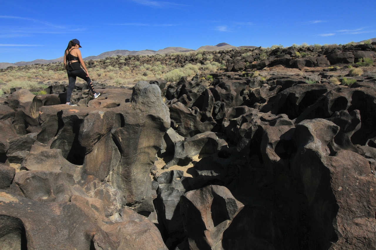
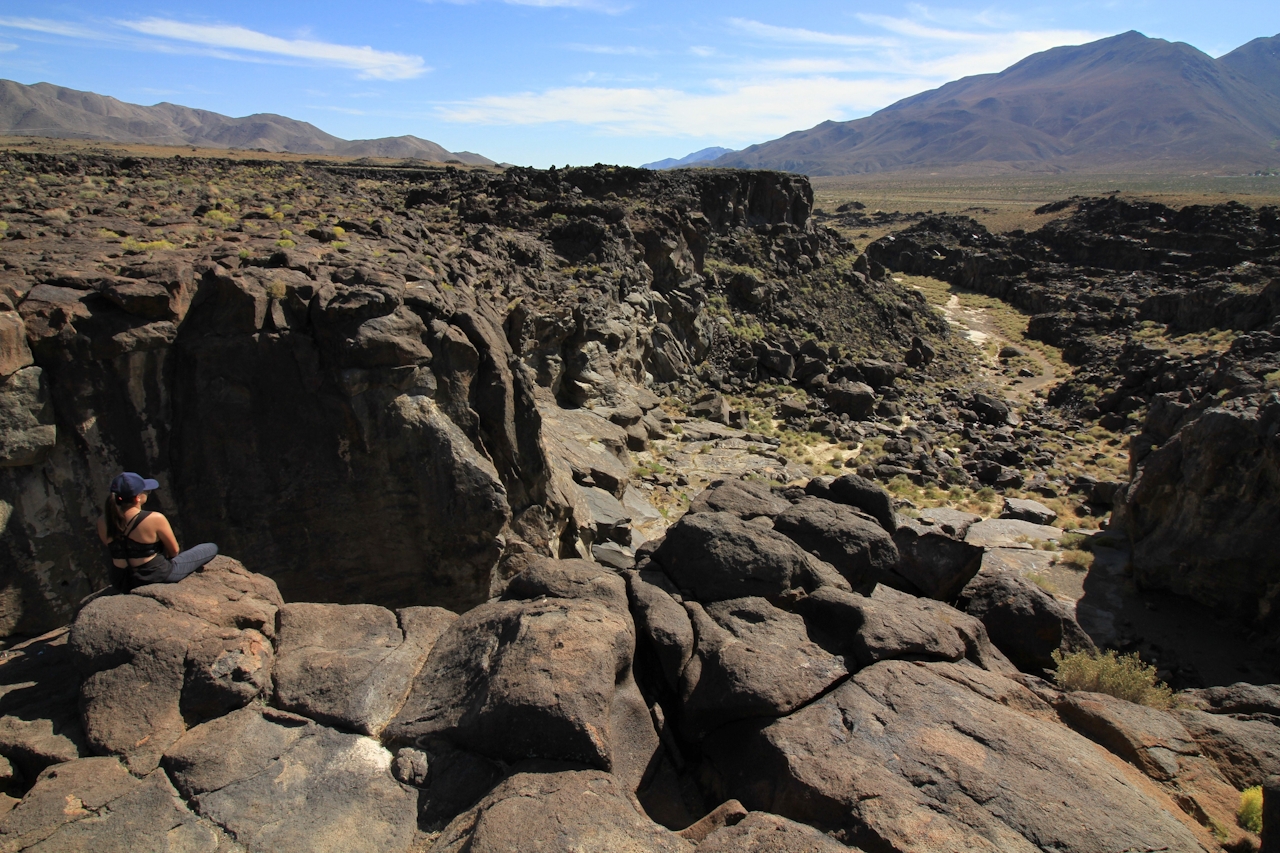
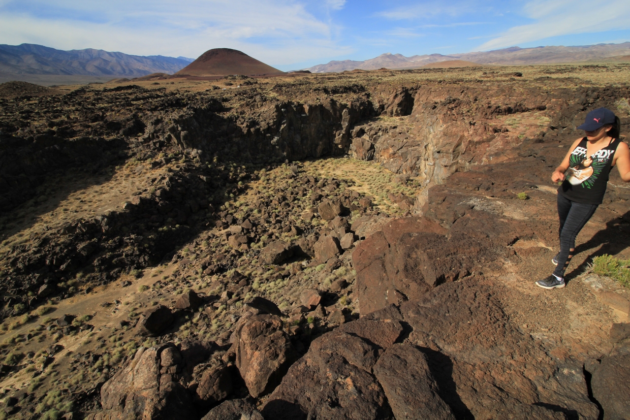
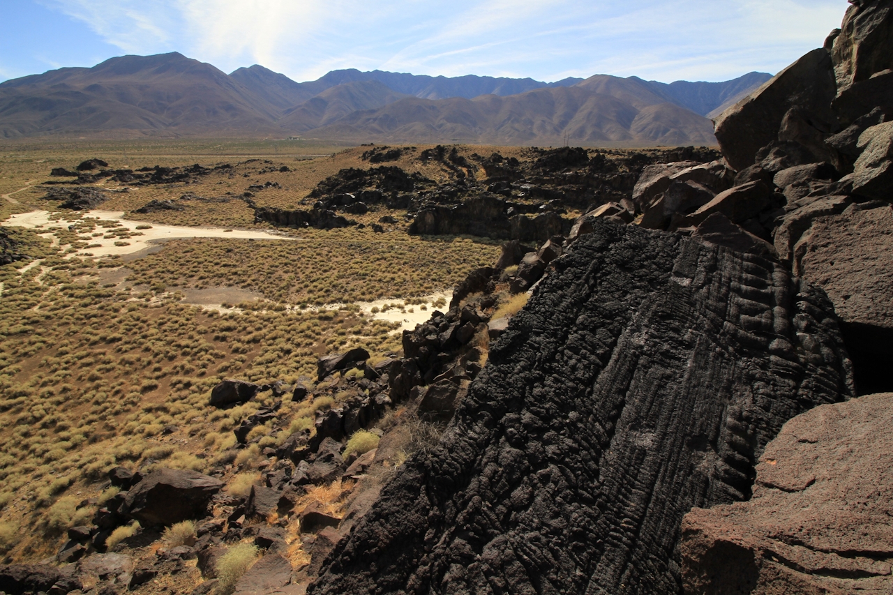
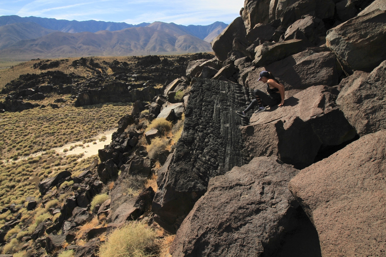
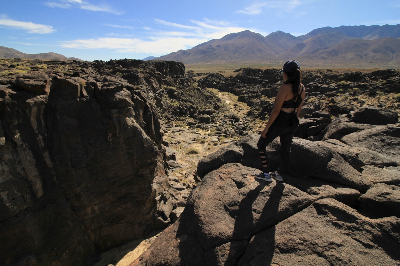
Scramble down to reach the wide, lower ledge of the falls. In prehistoric times, a mighty waterfall roared off it and into the channel below, now a sandy wash. At dusk, watch for bats pouring out of holes in the cliffs here. Littered with cracks and pockets, these 40- to 50-foot-high lava walls also attract rock climbers—it’s a favored venue for one-pitch, top-rope climbing.
CAMP: Pitch a tent and stay the night at Fossil Falls for deep-space stargazing and great views of Red Hill Cinder Cone. The BLM-managed campground is within walking distance of the chasm. Eleven campsites ($6 a night) with picnic tables and fire rings are situated on a flat expanse strewn with lava rock. Potable water and restrooms are also on site.
Take US-395 north and turn right onto Cinder Rd., about 4 miles north of Little Lake. After half a mile, you’ll see a sign pointing right for Fossil Falls. Turn there to reach the parking lot and trailhead.







