Bear and Beer Necessities
Hike the Bear Canyon Trail to Bear Canyon Flats Backcountry Camping Area at Mount Baldy


The Bear Canyon Trail to Bear Flats ideally suits the Ralph Waldo Emerson quote: “It’s not the destination, it’s the journey.” This 3.4-mile (round-trip) hike with 1,243 feet of elevation gain is a worthwhile journey, not to mention a very decent workout. It also leaves you with enough time to grab a beer and quench your post-hike thirst.
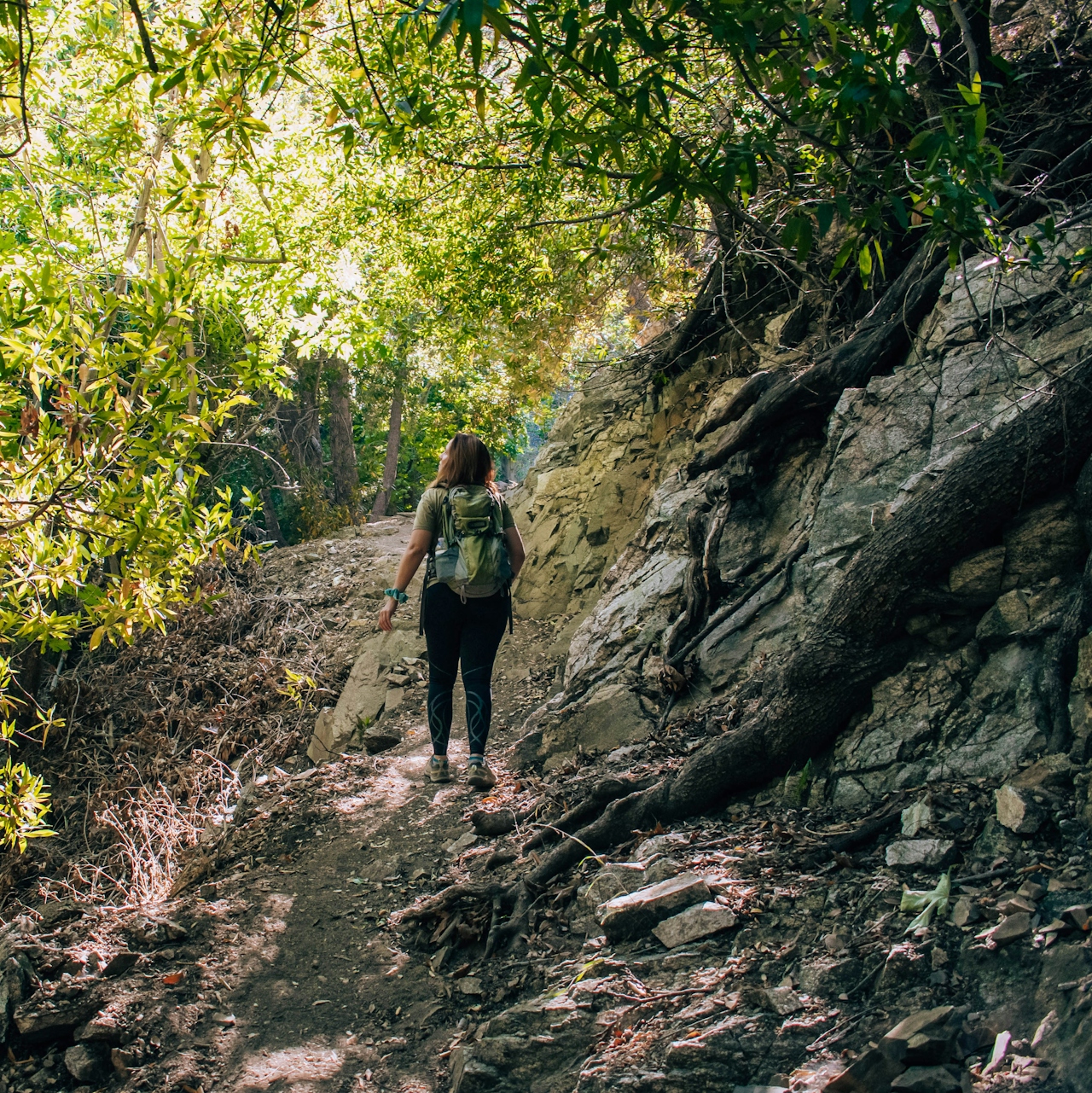
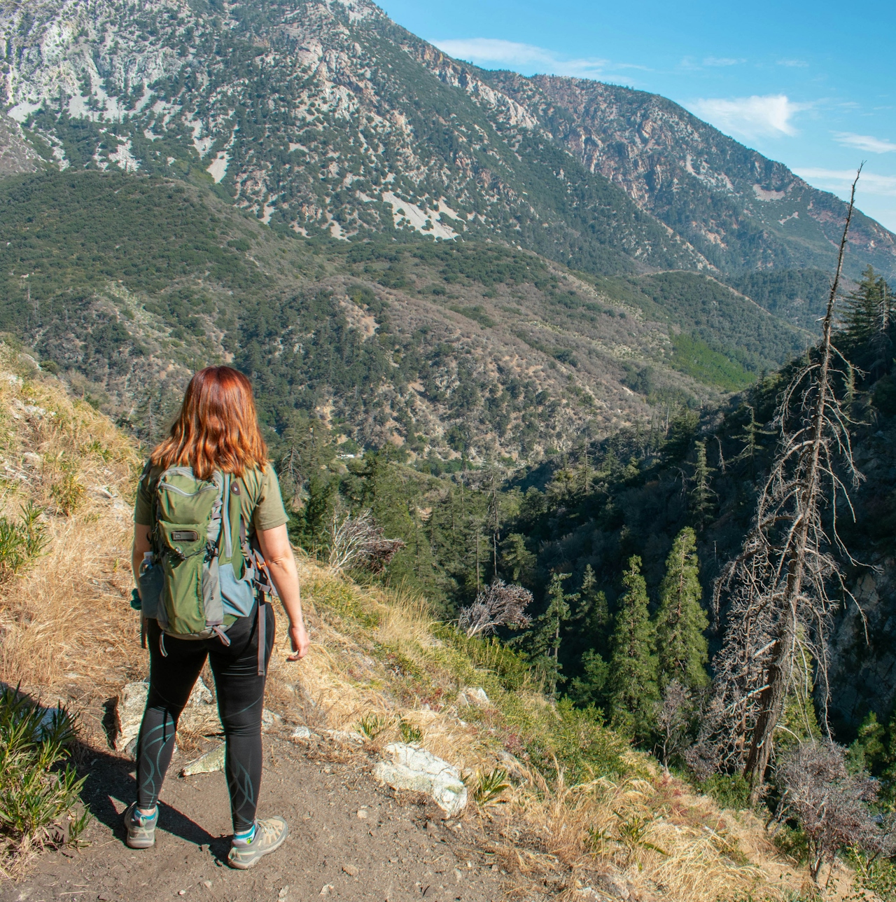
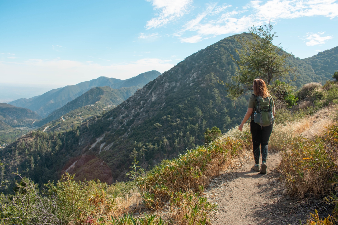
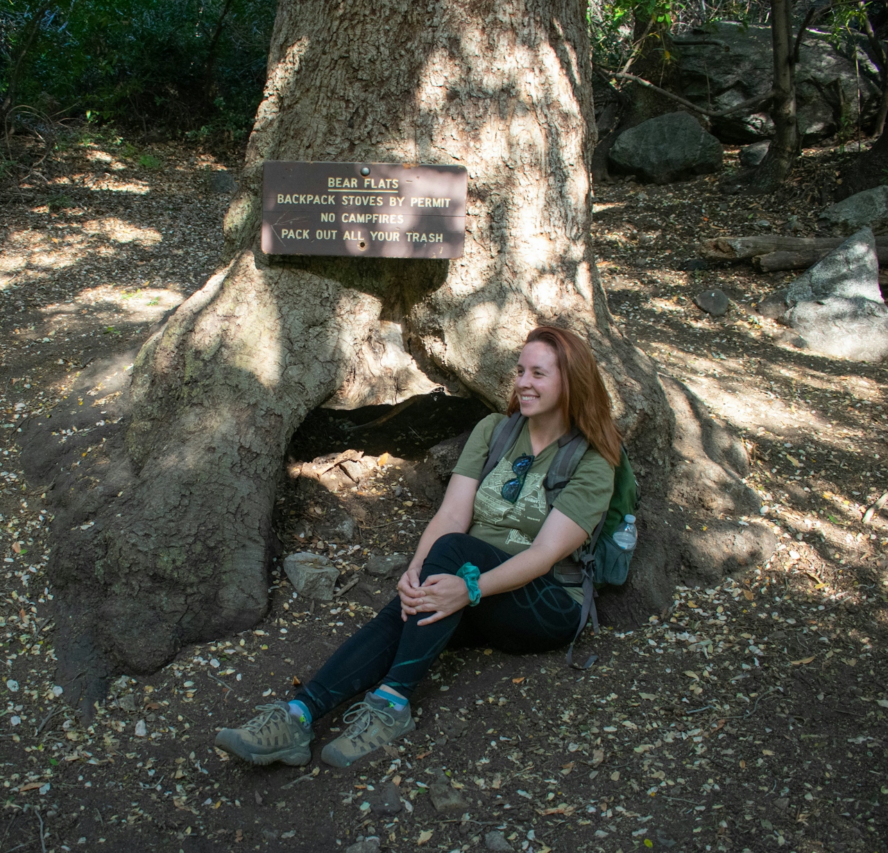
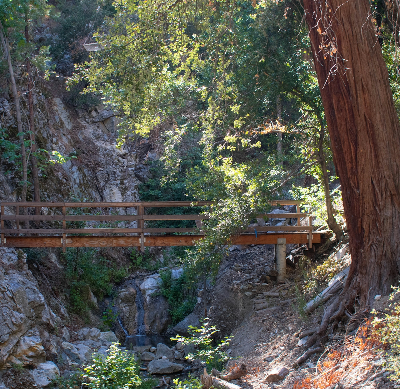
Bear Canyon Trail heads way up through the Angeles National Forest toward the summit of Mount San Antonio (aka Mount Baldy). The trail begins at the Mount Baldy Visitor Center and sets off on a paved road through a neighborhood. It feels like you’re on the wrong path, but as long as you’re heading uphill and following the road, you’re good to go. Eventually the road ends and becomes a regular trail, marked by a sign indicating it’s an additional 1.6 miles till you reach Bear Flats. This is when things start to get good; the trail is fairly steep but mostly shaded, keeping it pleasant even on a hot day as you hike along a creek lined with towering redwood and pine trees. The trail makes its way toward the top of Bear Canyon, where you get beautiful views of the surrounding San Gabriel Mountains and the Inland Empire below.
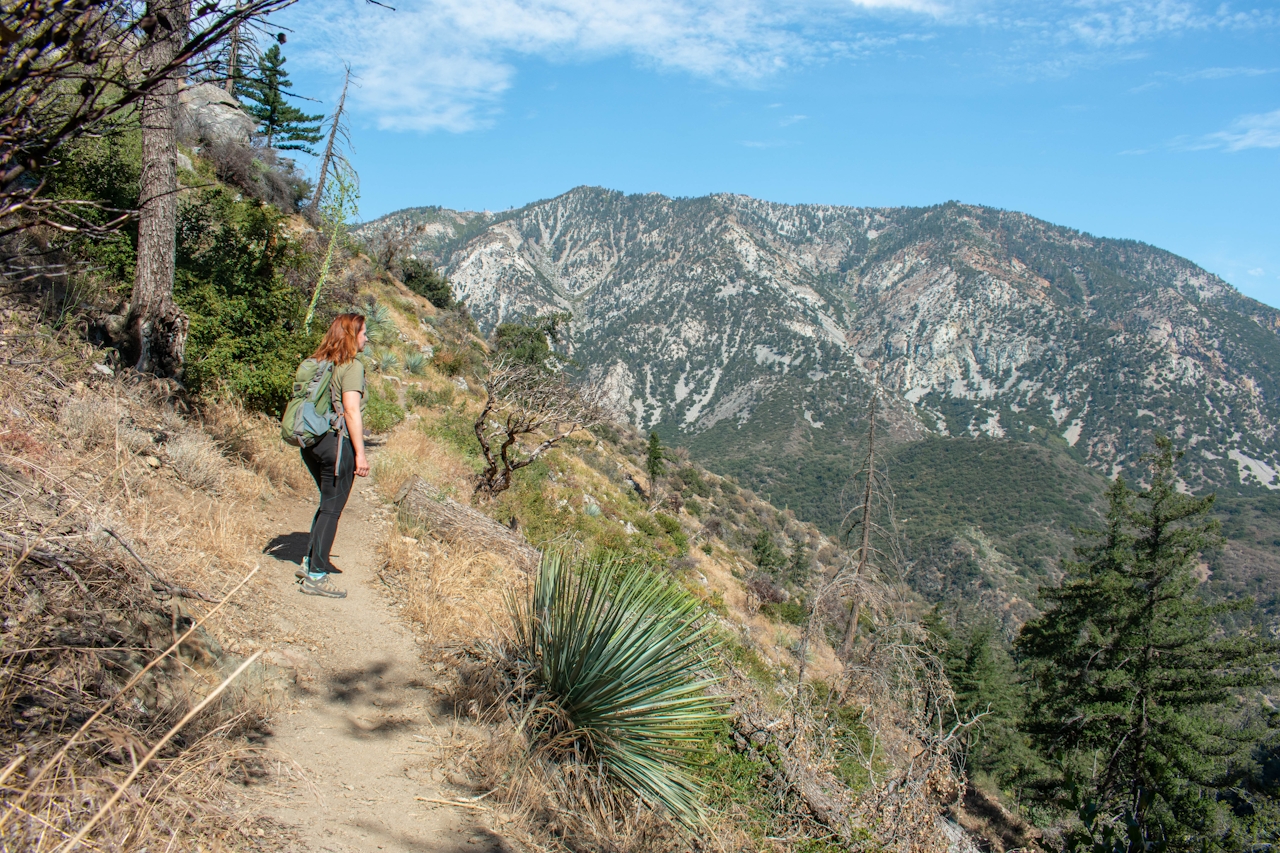
The scenery frequently changes from hiking next to a creek, to epic views of the mountains, to looking down on the canyon below, making every foot of the trail interesting. Bear Flats itself is a backcountry camping area. From there the trail continues onward, heading all the way up to the Mount Baldy summit (if you feel like adding on an extra 6.5 miles each way and around 4,800 feet more in elevation gain). Otherwise, turn around and head back the way you came, enjoying those amazing views again on the way down.
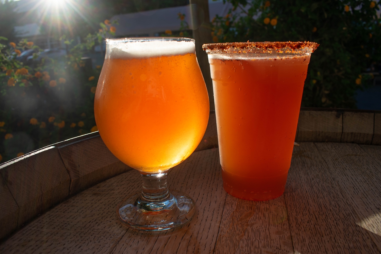
POST-HIKE BEERS: Refuel at Last Name Brewing, home to delicious, cleverly named craft beers (Dropkick Mercy, Saved by the Belge, and Get Witty Wit It are just a few of the options). Pints, tasting flights, and growlers available, as well as a rotating selection of food trucks in the beer garden. The Strawberry Blond (featuring their Blond, James Blond ale infused with strawberry) is particularly refreshing on a hot day.
From the 210 Freeway, exit Mountain Ave. in Upland and head north. Make a sharp right onto Mount Baldy Rd.; the trailhead will be on the left-hand side at the Mount Baldy Visitor Center in approximately 5 miles. Park at the visitor center day-use area or on the street in front of the visitor center, paying attention to all posted signage. The visitor center lot closes at 2 p.m. Adventure Pass required. The trailhead leaves from the Mount Baldy Visitor Center; look for the small brown sign on your left-hand side as you enter the visitor center day-use area. Follow the dirt path until a paved road through a neighborhood appears on your left; follow the road until it ends at a dirt trail. Dog friendly!
Last Name Brewing is located at 2120 Porterfield Way in Upland. Open from 2 p.m. to 9 p.m. Monday through Saturday, and noon to 7 p.m. Sunday. Open for patio or indoor service; patio is dog friendly.







