The Lost Pictographs of Perris, Found!

A Hike to the Pictographs of Lake Perris

Long before there was a Lake Perris there were the Luiseño people, known in their own language as the Payomkawichum (“people of the west”). They lived here for thousands of years, and left behind pictographs that can still be seen today.

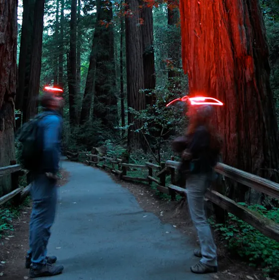
From the Bernasconi Day Use Area, head east to reach Pictograph Rock (3 miles round-trip on an out-and-back trail). You can hike the dirt path to feel close to nature, or you can hike or bike the paved trail that circles the lake, part of the San Juan Bautista National Historic Trail. Or hop between the two, as the trails occasionally cross. Enjoy lake views as you hike through native plants such as brittlebush, sagebrush, and various cactus species. The hills are coming into bloom, so look for colorful displays of wildflowers, such as goldfields and California poppies. And keep an eye out for abundant bird life, including bald eagles.

Time has swept away most evidence of the native settlements, but this whole area was once inhabited by both the Luiseño and Cahuilla people. Their history lives on, though, in the rock art found around the lake. There’s no signage for Pictograph Rock, but look for it after the second intersection of the dirt trail with the paved path.

The style of art on the rock is called the “San Luis Rey style” and is typified by geometric elements. Iron oxide obtained from the surrounding hills created the red pigment. (Remember, never touch the rock art!) The exact meaning of this design is unknown, but it is believed to represent a Luiseño puberty ceremony. The initiation would prepare adolescent boys and girls for adulthood and teach them their cultural roles and responsibilities. Though most of the art is weathered away, it is still a moving glimpse of a vanished life.

The Lake Perris Bernasconi Day Use Area is located off of Bernasconi Rd. in Perris. From I-215, exit on the Ramona Expwy. and head east, toward San Jacinto. After approximately 6.5 miles, make a left on Bernasconi Rd. The parking area is at the end of the road on the left, near the group campsites. Dogs are welcome on the paved trail, but not on the dirt trail.

Trending Stories NorCal

View all Stories
  1. Muir Woods Night Tour

    Thousands of people flock to Muir Woods every year, yet only a few see it at night, when this beloved park is experienced in a whole new light. The Muir Woods Night Tour happens on the last Friday of every month through October.

    View
  2. Slide Ranch Marin

    Slide On Over

    Marin's Slide Ranch has a popular neighbor in the Muir Beach Overlook. But don’t overlook Slide! This open-to-the-public nonprofit organization sits on 134 acres of coastline and is filled with animals, Pacific scenery, and an adjacent hiking trail.

    View
  3. Sponsored

    Take the Exit to the Best of the San Francisco Peninsula

    The San Francisco Peninsula is proof that some of Northern California’s greatest surprises are hiding just off Highway 101. All you have to do is take the exit.

    View
  4. Hello, Sur!

    Big Sur is home to numerous fantastic beaches and coves, so which one do you choose? Go for the beach that's quintessential Big Sur (and dog-friendly!). Pfeiffer Beach in Pfeiffer Big Sur State Park. Its signature lilac-colored sand is waiting for your feet!

    View

Trending Stories SoCal

View all Stories
  1. Waterfall Hunter

    If you ask a local in Reno about one of the best hiking trails in town, odds are high they’ll point you to Hunter Creek Falls. It’s a year-round favorite, but it absolutely shines in spring, when desert peach wildflowers make a splash—and so does the marquee waterfall.

    View
  2. Wapama Wows

    Hetch Hetchy can be overlooked in Yosemite National Park because of its more remote location and limited facilities. But this is where you’ll also find one of the best day hikes in the park: Wapama Falls.

    View
  3. Bike the Coastal Trail to Pillar Point Harbor in Half Moon Bay

    Ride and Seek

    Oceanside breezes, beautiful beaches, a car-free pathway for biking, and beer at the end: You’re on a roll! The San Mateo Coast was made for beach hopping and beer tasting … and it all goes down smooth as part of an 8-mile out-and-back bike ride.

    View
  4. Tamtastic Sunset

    Sure, the East Peak of Mount Tam is absolutely spectacular at sunset, but some magic-hour enthusiasts are onto a fresh perspective in getting a little more personal space for their panoramic viewings.

    View