You Call This a Hellhole?
A Hike Into Anza-Borrego's Hellhole Canyon and Maidenhair Falls


{APRIL 13, 2023 UPDATE: Due to recent storms, before going to the park, please check ahead for weather forecasts, along with trail status and conditions; trails can be muddy and have debris or unexpected hazards; exercise good judgement and caution.}
One person’s hellhole is another’s heavenly desert oasis. Hellhole Canyon in Anza-Borrego Desert State Park is definitely the latter. Its name comes from cattleman Wid Helm, who said it was “one hell of a hole to get cattle out of.” For you, it’s a moderate to challenging 5.5-mile (round-trip) out-and-back hike, with a bonus waterfall as the finale. It’s also far less crowded than the park’s famous Borrego Palm Canyon. In spring, you'll have the beautiful bonus of wildflowers.
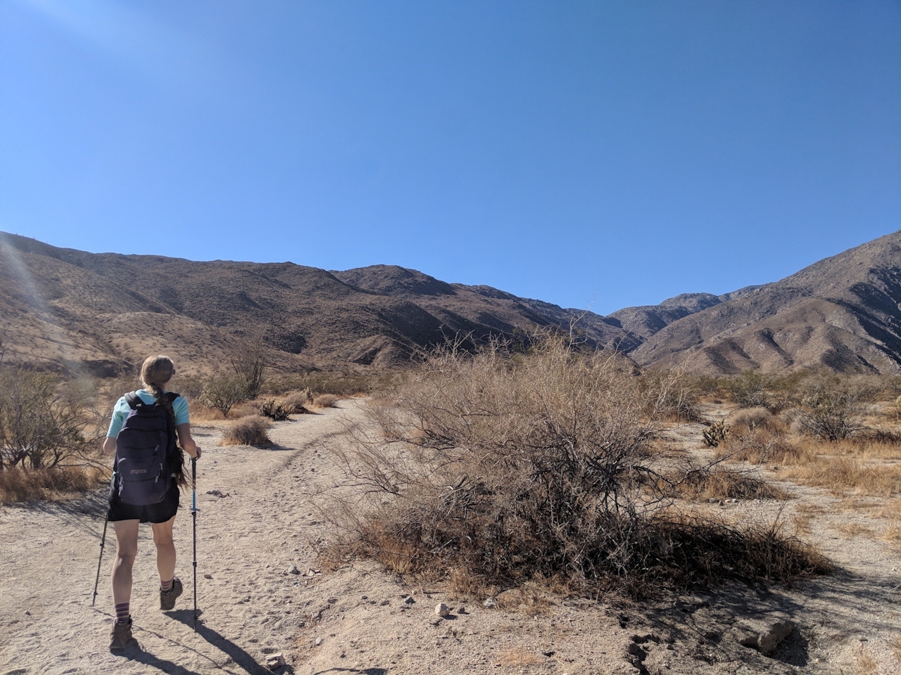
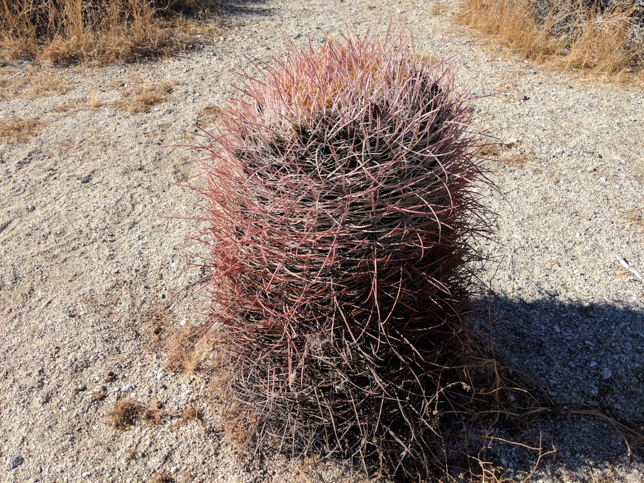
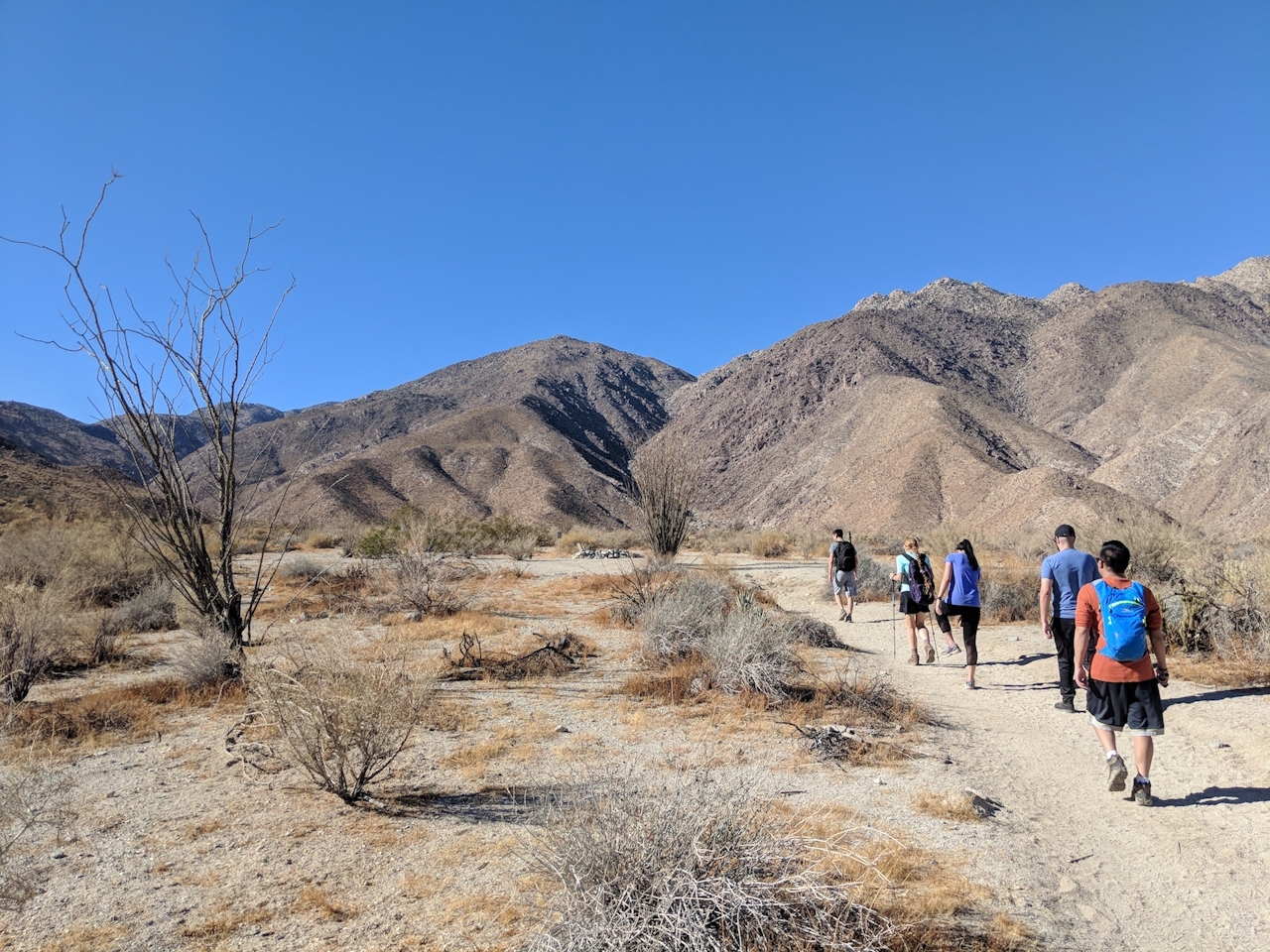
From the free parking area just southwest of the visitor center, head into the wide canyon on the signed trail, passing by an ominous faux grave of those who failed to bring enough water. Don’t be one of them! Get an early start for this hike and bring plenty of water. The trail is mostly flat for the first 2 miles, winding around barrel cacti, creosote, ocotillo, and yucca.


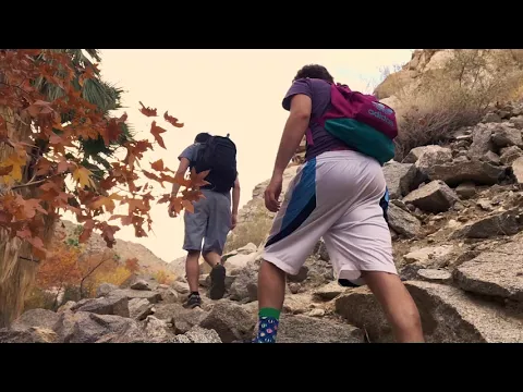
The path begins to narrow at the first palm grove. Here and beyond you will have to do some rock scrambling. Cottonwoods and sycamores start to complement the palms, all indicating the presence of water. Listen for the chirping of yellow-faced verdins in the brush or try to spot the striking black-throated sparrows dancing along the desert floor.
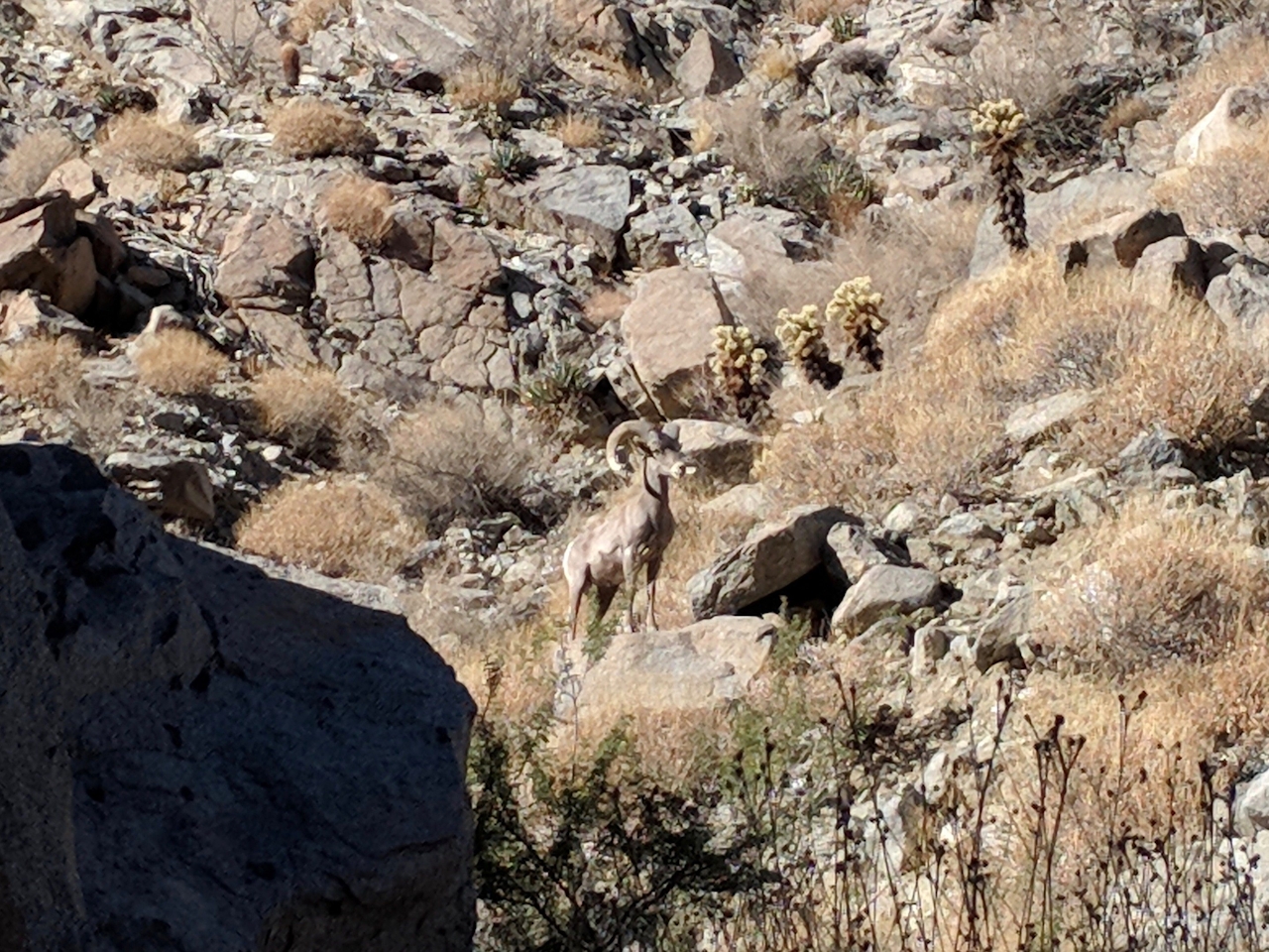
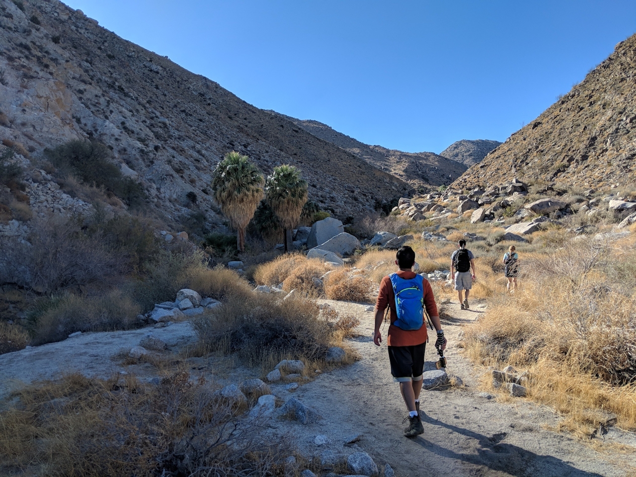
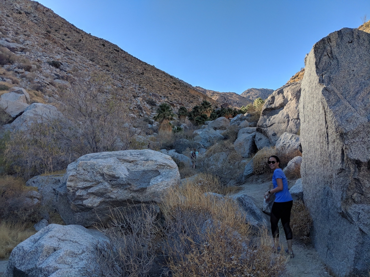
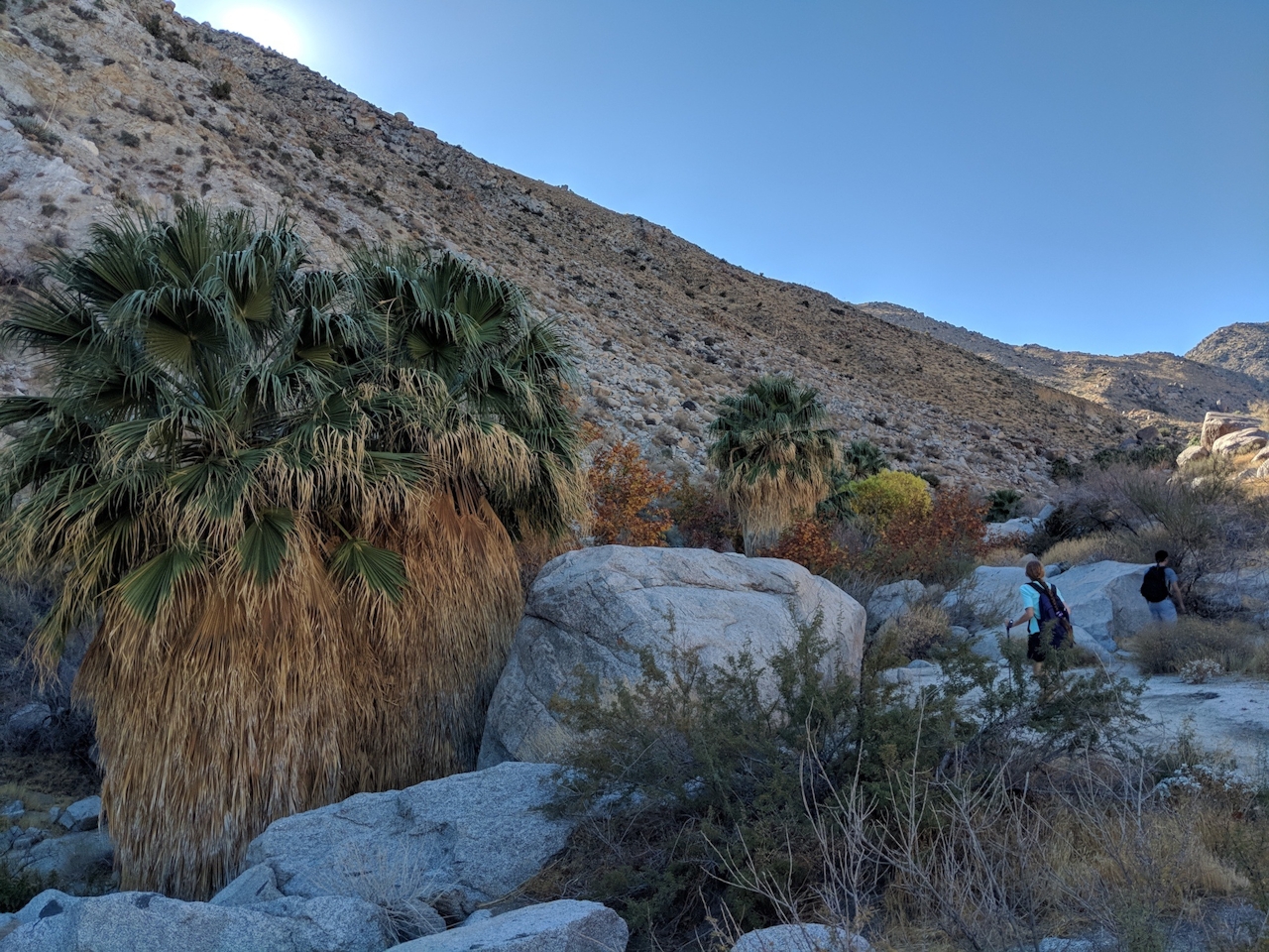
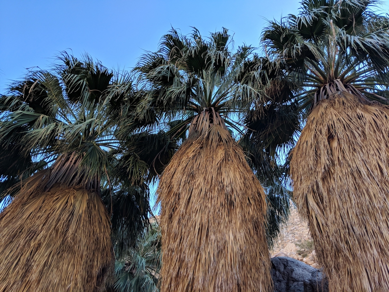
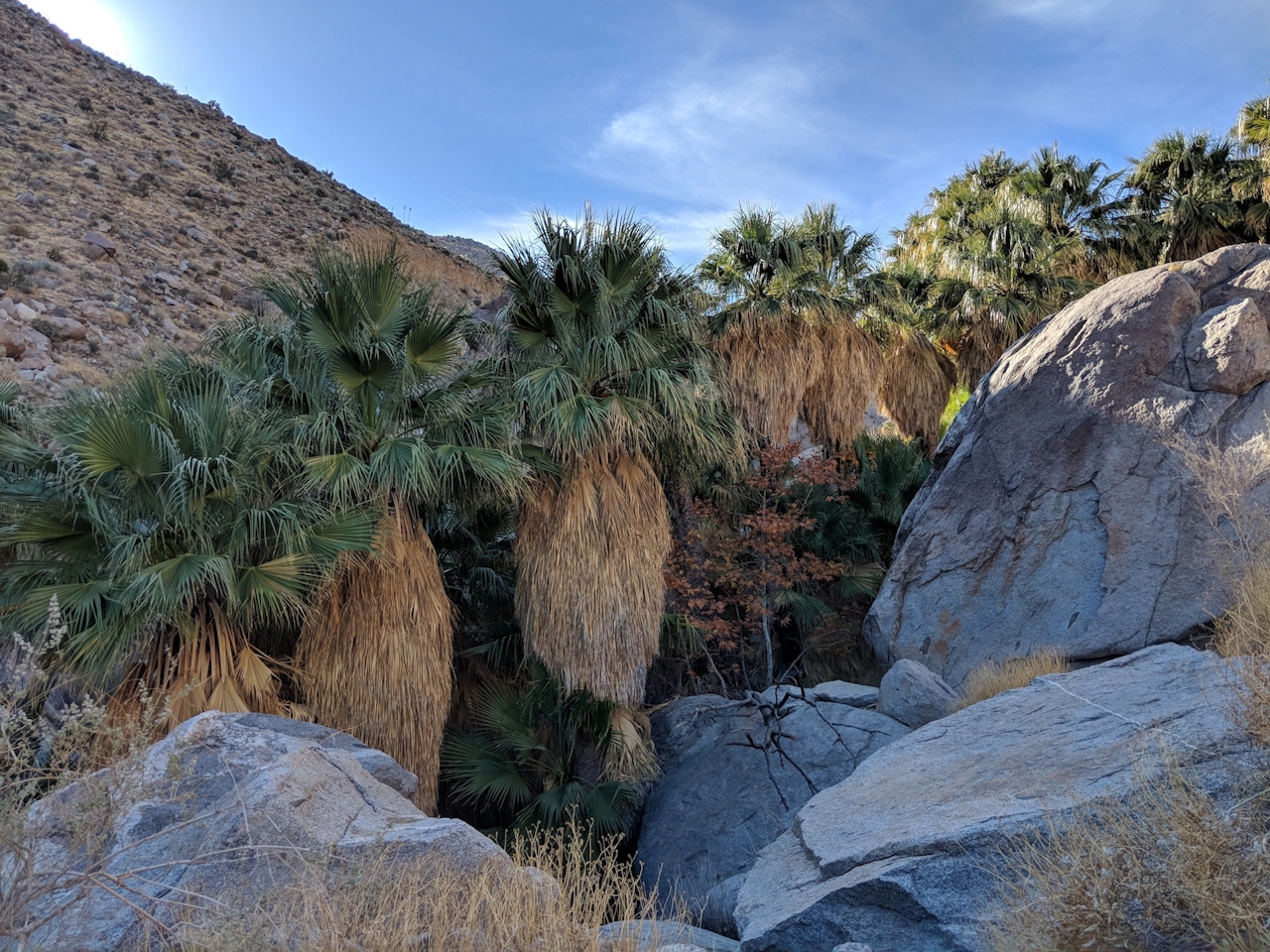
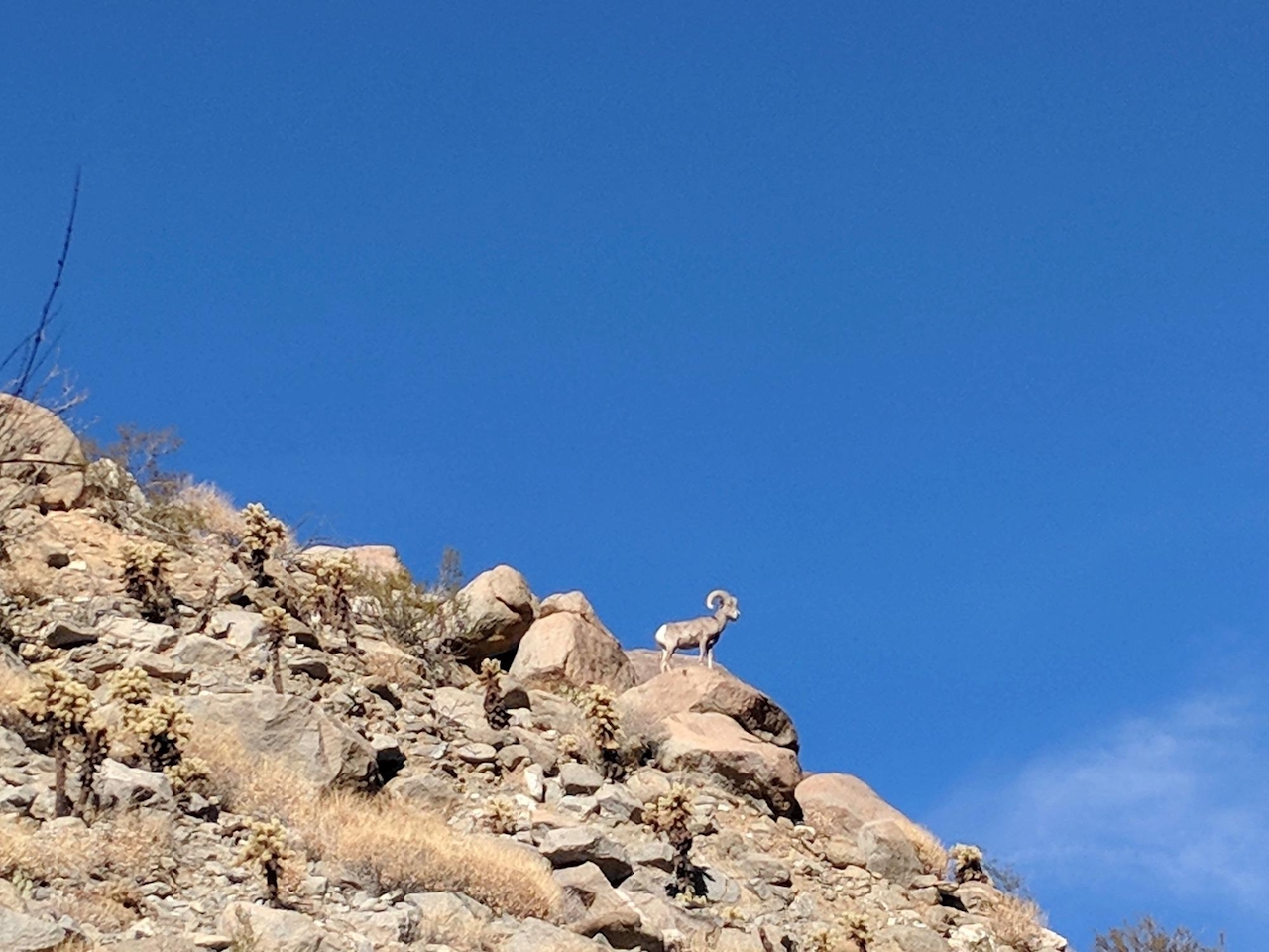
Another half-mile leads you to a thicker palm oasis and the perfect spot for a lunch break on a shaded boulder. Take time to climb out of the oasis and scan the canyon cliffs for the park’s star mammal, the stately peninsular bighorn sheep. This is a good ending point, though if you want to challenge yourself, and conditions are safe, continue up the creek and into the canyon. Rock-scramble another quarter-mile to reach Maidenhair Falls. {APRIL 2023 NOTE: Due to all the winter storms, conditions on this part of the trail may be poor, and the rock scrambling is not easy for a lot of people. Use caution and good judgement and be sure you have plenty of water.}
TIP: Time your hike to finish just before sunset to avoid the desert sun and to catch the gorgeous dusk palette of the canyon. This will also increase your chances of a bighorn sheep sighting.
From I-15, take CA-76 east for 35 miles and turn left onto CA-79 north. After 4.3 miles, turn right onto San Felipe Rd. and continue 4.7 miles, keeping left onto Montezuma Valley Rd. After 15 miles, the parking area will be on your left. No dogs.







