Where There's a Willson!
Hike the Less Traveled Willson Peak at Henry Coe State Park


Spice up your next hike. And we don’t mean with a pumpkin spice latte. Step off the beaten path with this 7.5-mile loop up Willson Peak in Henry Coe State Park.
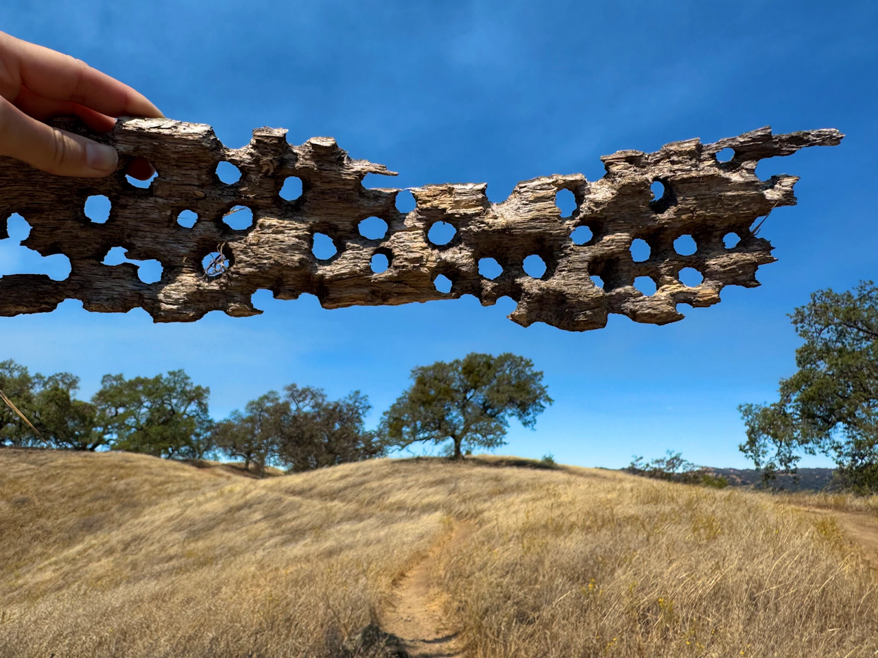
The journey begins at the Hunting Hollow park entrance. From the parking lot, head east on Hunting Hollow Road, a flat dirt path that winds through the trees. Autumn hikers should keep an eye out for male tarantulas roaming in search of a mate.
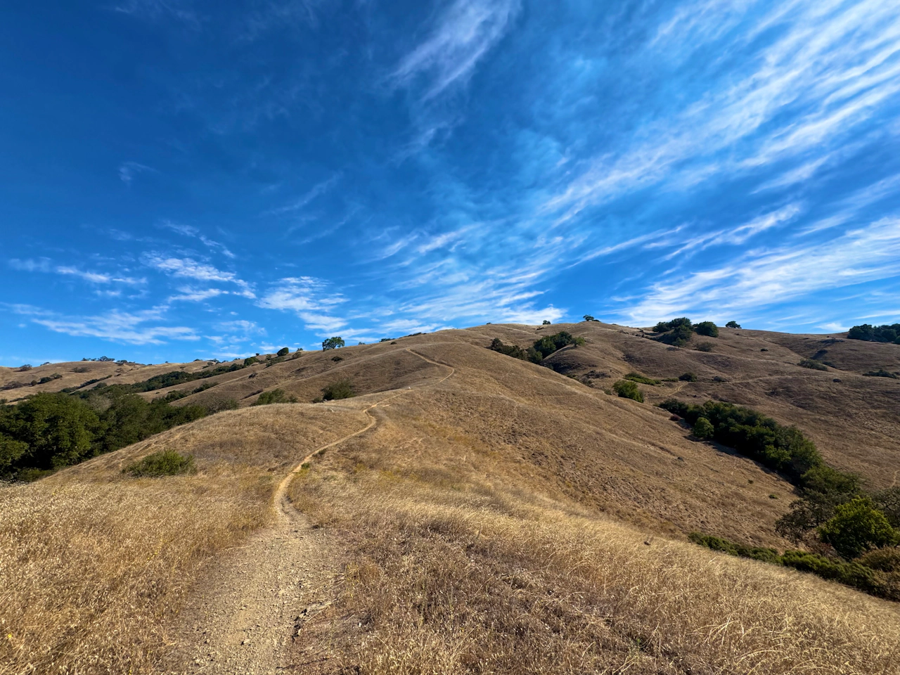
At the intersection with Lyman Willson Ridge Trail, turn left, then bear right to follow it into the golden hills. This route quickly gains elevation, so take a breather and keep an eye out for wildlife. Rabbits, snakes, foxes, and coyotes are common sightings.
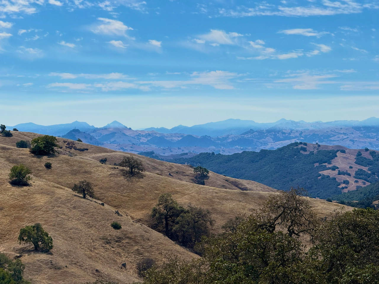
After the ascent, turn left at the intersection with Steer Ridge Trail. Here on the ridgeline, the trail levels out, giving hikers a chance to catch both their breath and the views. Silicon Valley is visible to the northwest, while the Diablo Mountains stretch along the northern horizon.

At Willson Peak Trail, turn right. The summit is 0.1 mile farther, topped with a survey marker and small summit pole. Celebrate your climb to 2,648 feet with a victory snapshot, then head back to Steer Ridge Trail and turn right to continue.
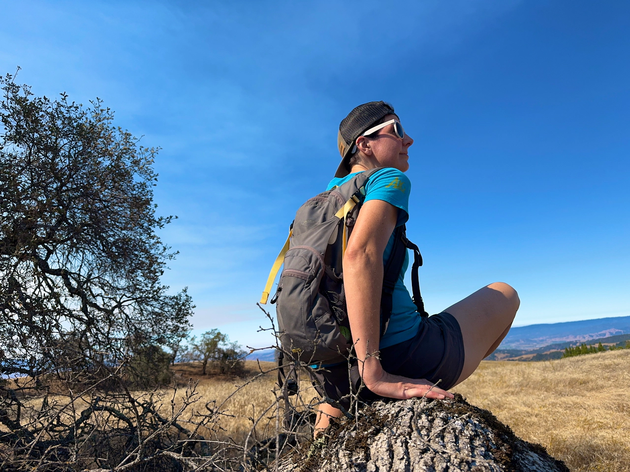
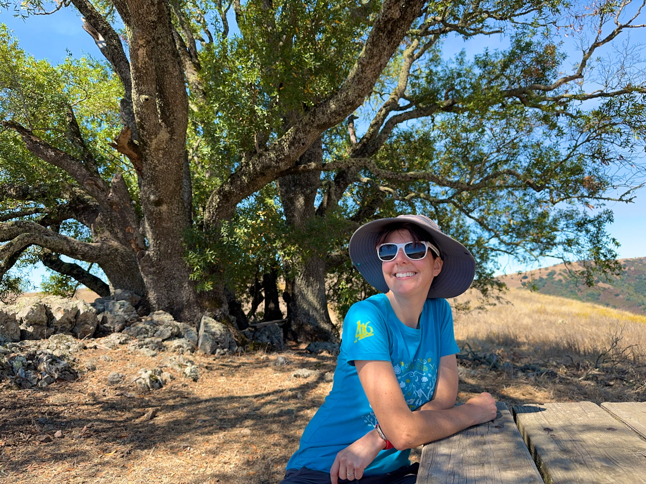
Stay on Steer Ridge Trail as it descends through the hills, passing oaks riddled with holes by acorn woodpeckers and tree roots dug bare by wild boar. As the route drops steeply, take a breather at the picnic area and soak up the rolling-hill views one last time. Then turn right onto Hunting Hollow Road to return to the parking lot.
NOTE: Check the weather forecast before going. This is an exposed hike and should not be done on hot days.
The Hunting Hollow trailhead is located at 4826 Gilroy Hot Springs Road in Gilroy.
The Hunting Hollow gate is open 24 hours a day. The day-use fee is currently $6 (September 20206), and must be paid at the parking lot by cash or check. No dogs.
Story and photos by Heather Werner, @heath.er.wer.ner







