At Home on the PCT

Overnight at Cienaga Creek Cabins on the PCT

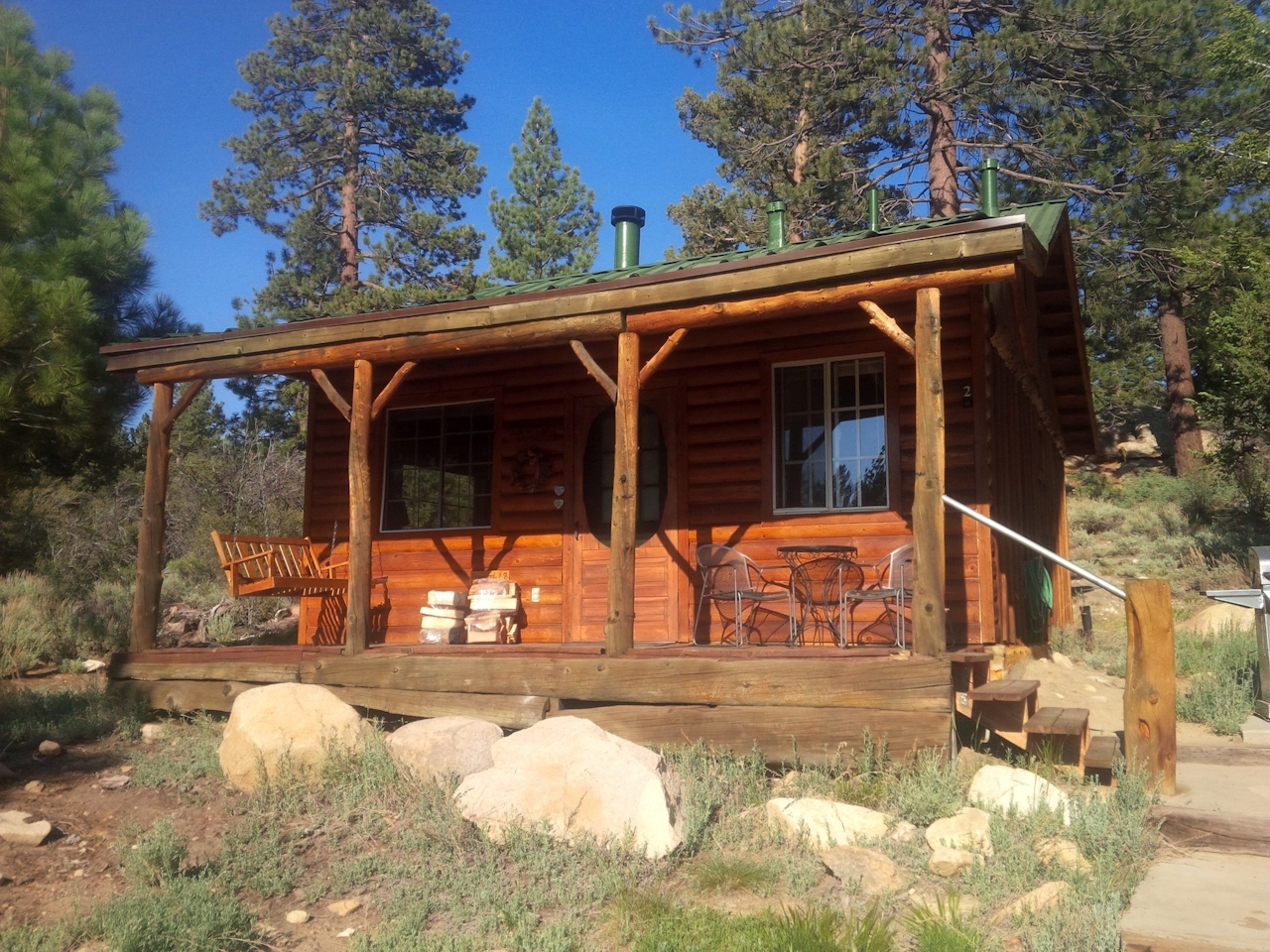
Cienaga Creek Ranch rests at 8,250 feet in the San Bernardino Mountains. Nice. But even better: The ranch is smack dab on the Pacific Crest Trail, 8 miles southeast of Big Bear!

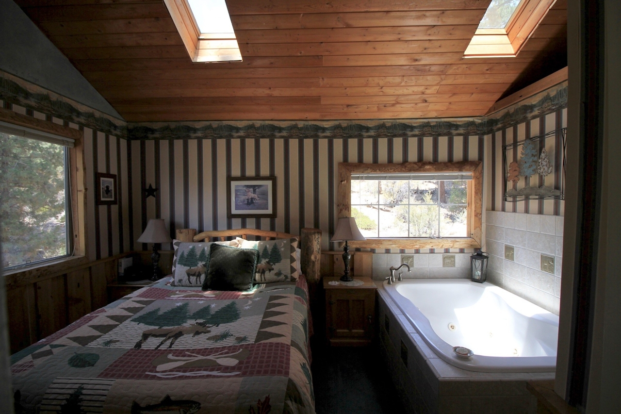
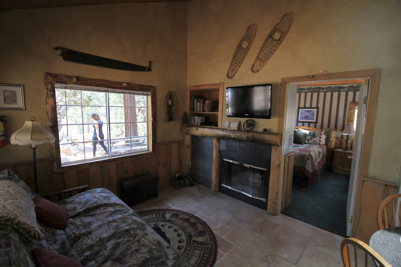
This secluded 50-acre retreat has seven rental cabins to choose from—the smaller with faux-frontier facades and names like Mountain Sunset and Wild Rose—each with a barbecue grill, fireplace, kitchen, and bedrooms with slit skylights and a jacuzzi tub. Romantic and idyllic for sure—plus two great day hikes are possible right from your front porch.
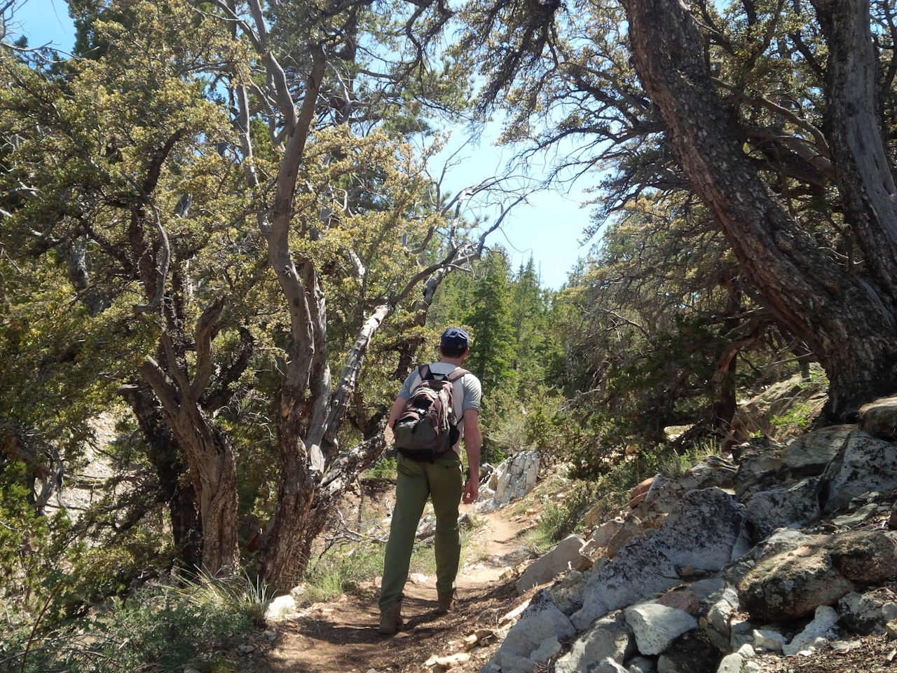
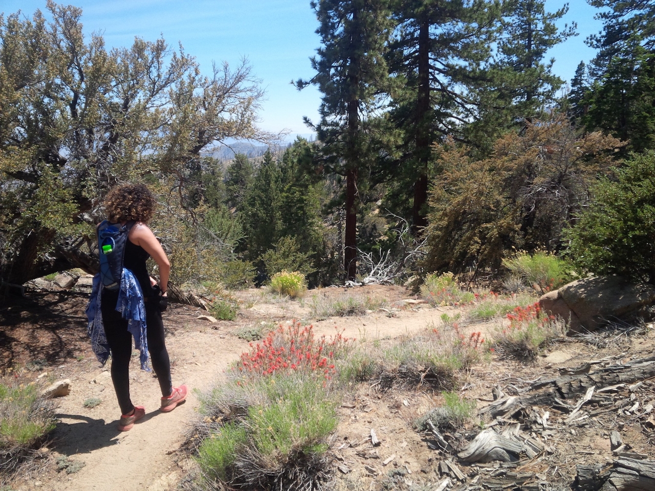
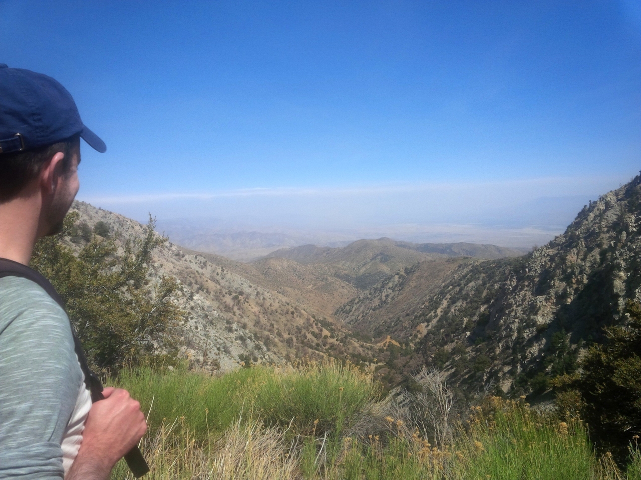
The northward hike on the PCT climbs 1,000 feet over 5 miles to Onyx Peak—there was once an active onyx mine on its slope. The southward hike, a 6.6-mile (round-trip) out-and-back to Coon Creek Cabin Group Campground, is a bit more scenic. Near the gateway sign for Cienaga Creek Ranch, walk south along a rough dirt road for half a mile to a dry wash. Here a narrow footpath diverges—take it. (Don’t worry; you’ll see a PCT marker.) The trail traverses a sparse forest of juniper and mixed pines (including limber, piñon, and Jeffrey), but shade is minimal, so shield yourself accordingly. It’s a remote stretch of trail, so you might be alone for miles. You’ll rise about 600 feet over rocky terrain to a ridge, then dip down to the dry Coon Creek, where a dirt road intersects the trail. A steep, treeless drop-off nearby offers deep views southeast into the sunbaked Coachella Valley. Primitive, notched-log Coon Creek Cabin, just up the dirt road, has fallen into disrepair, but the area is still pleasant for picnicking. Return whence ye came.

Take the I-10 to Redlands and exit onto N. University Street. Head north, then turn right onto E. Lugonia Ave. Continue east for 36 miles on CA-38/Mill Creek Rd. Turn right onto Rainbow Ln. to enter the ranch. Dog-friendly!

Trending Stories NorCal

View all Stories
  1. Woman with her arms outstretched to the rolling hills scenery while on a rock outcrop at Barnabe Peak in Samuel P Taylor Sate Park in Marin

    Barnabe Bonanza

    Sure, there are higher mountains in Marin (Mount Tam) and easier ascents (Mount Burdell), but is there a more expansive North Bay view? Barnabe Peak in Samuel P. Taylor State Park offers a glorious panorama including Mount Tam, Mount Diablo, and Mount St. Helena.

    View
  2. Tamtastic Sunset

    Sure, the East Peak of Mount Tam is absolutely spectacular at sunset, but some magic-hour enthusiasts head to a nearby spot, Trojan Point, for a little more personal space in their panoramic viewings.

    View
  3. Hiker on the SCA trail in Marin Headlands with view of the Golden Gate Bridge

    Headlands Over Heels

    People come from all over the world to get a glimpse of the Golden Gate Bridge. Get a dramatic and novel view of the bridge without all the people on this moderate 6-mile hike in the Marin Headlands.

    View

Trending Stories SoCal

View all Stories
  1. Woman hiking the San Onofre Bluffs Loop Trail to San Onofre State Beach in San Diego County

    Bluffing Good!

    Lovely coastline, beautiful beaches, unique geological history, and picturesque sandstone cliffs with limited foot traffic in San Diego County? Head to San Onofre State Beach and the 5-mile San Onofre Bluffs Loop Trail.

    View
  2. Can We Get a Whoop Whoop!

    City, mountain, and ocean views all in one hike? Whoop whoop! It’s no surprise the the Kenter Fire Road and Whoop-de-Doos Trail (a combo of fire road and singletrack) is a favorite among local mountain bikers and hikers alike.

    View
  3. The Big Chill

    In LA, finding a place to chill can be the ultimate flex. So flex, in Franklin Canyon! This unexpected oasis has plenty of shade, cool lake breezes, and ample picnicking spots. Enjoy it on an easy-going 1-mile stroll along its reservoir and duck pond.

    View