Hastain for a Change
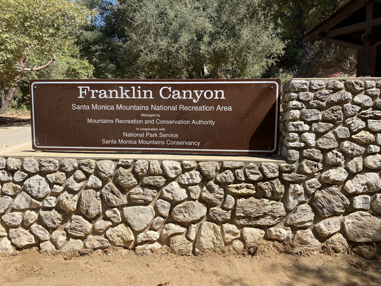
Hike the Hastain Loop in Franklin Canyon


Los Angeles is famous for its canyon hikes, but you don’t have join the crowds on those ones! The 2.5-mile Hastain Loop, tucked into the southern end of Franklin Canyon, is every bit as scenic as some of the city’s more famous trails, only with less people. Run along now, Runyon.
Find the trailhead in the lawn on the right side of the bathrooms and the old Spanish-style house, once owned by oil baron Edward L. Doheny, who used to graze cattle on these lands. Follow the path up the switchbacks and wooden staircases along the canyon’s edge for a heart-pumping climb.
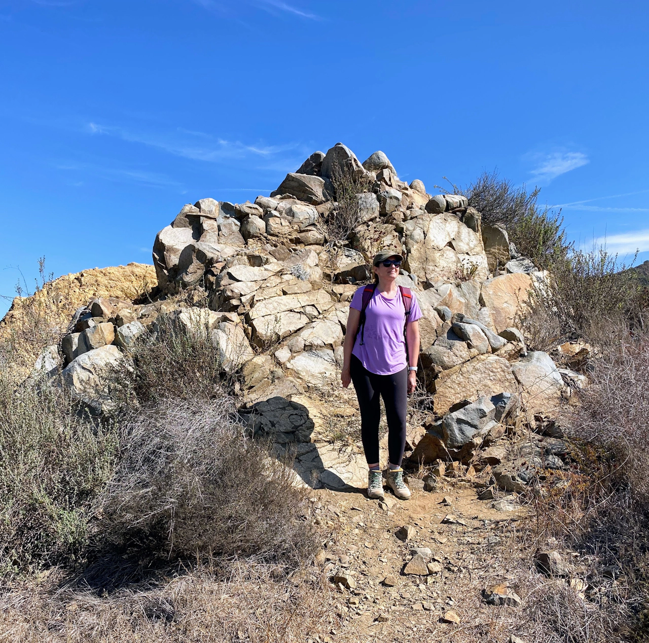
In about 0.5 miles, the trail connects the Hastain fire road, marked by a giant rock pile. Ignore the road for now. Keep right and continue up the canyon until you reach a three-way intersection.
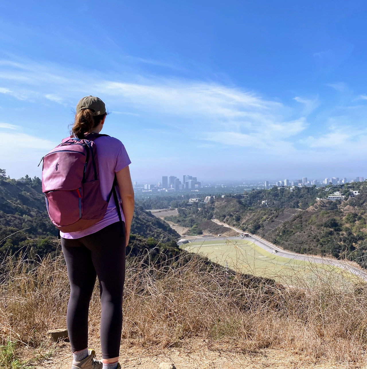
Summit the steepest trail to soak up the panoramic views of the lower canyon, Century City and west Los Angeles. You can see all the way to the Pacific Ocean on clear days.
For an easy out-and-back, simply retrace your steps and head back down the fire road.
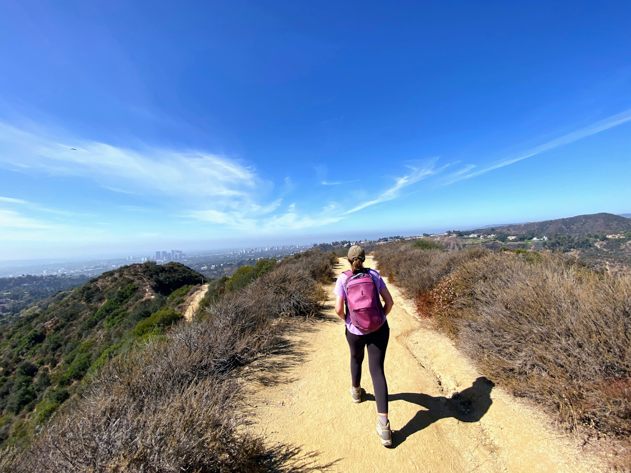
Looking for a little more adventure? Backtrack down the hill and continue right on the intersection, then making a left at the next fork. The rugged, chaparral-covered single-track weaves up and down the exposed canyon ridge, making it the most beautiful, physically demanding and (depending who you ask) fun part of the trek.
Tip: The gravel is loose and slippery on the extremely steep downhill portion, so good hiking boots and/or walking sticks are a must for a safe trip down!
Make a right at Hastain fire road. The gentle downhill slope will be a nice reprieve after the tough climbs and downhills.
Once you reach the bottom of the canyon, make a left and stay on Lake Drive to walk back to your car. Or pop over to the 0.3-mile Discovery Trail across the street. The trail parallels the path of the road through a black walnut woodland, an unexpected end to your canyon hike.
Find the directions to the trailhead and parking lot here. GPS may lead you to the south entrance of the park, which is currently closed. From Beverly Hills, head north on N. Beverly Drive. Stay on Beverly Dr. by making a left at the intersection by Coldwater Canyon Park. In about a mile, keep right at Franklyn Canyon Drive, continuing straight through the unmarked park entrance. Make a right on Lake Drive. In about a half-mile, the large parking lot will be on the left.
Drive carefully! Stop signs within the park are photo-enforced. Make a complete stop or risk getting a high-priced ticket in the mail.
Wear hiking boots with good tread and bring walking sticks. There’s little shade so a hat and sunscreen are recommended. Avoid on very hot days or hike in the early morning and evening when temperatures are cooler. Dog friendly.
Story and photos by Yvonne Pasquini.







