What a Rush!

Hiking to Cataract Falls on Mount Tam

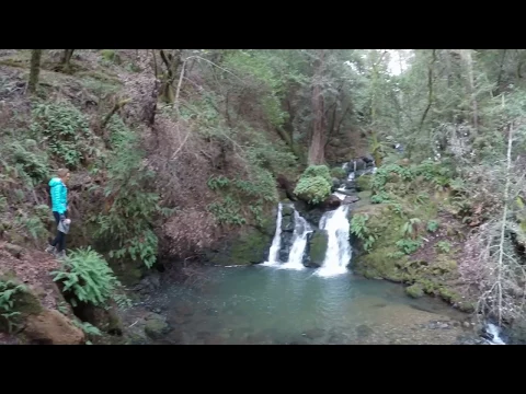
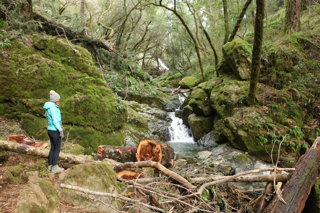
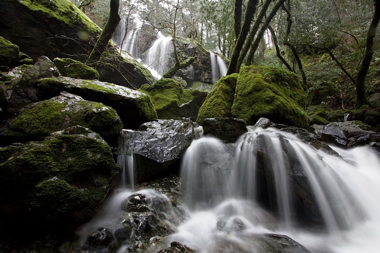
Mount Tam’s Cataract Falls is the bobsled course of waterfalls: over a mile of twisting, turning, tumbling water—gushing, rushing, and making a splash! The real joy is hiking right beside Cataract Creek as it’s chugging on all cylinders, where the exclamations are 20- and 30-foot falls.

One of the best ways to get there is by beginning from the top of the falls and hiking to the bottom, then returning the way you came. Starting from West Ridgecrest Road, hike down to the Laurel Dell picnic area, an oasis in its own right, shrouded in redwoods and green ferns. Here you’ll pick up Cataract Trail, much of it a series of wooden and rock steps.

The sound of water is a constant companion even if you don’t yet see the falls—the first of which is reached within a quarter mile. Keep going down, stopping to observe the deep grottoes created by the multi-flowing tiers. A wooden bridge crossing over Cataract makes a good turnaround point; in the distance you can spy Alpine Lake, its bright blue hue tempting you to carry onward for a longer out-and-back hike.
BONUS SUNSET: Time your waterfall hike to finish just before sunset and cross the road from the parking area, where you walk for a few minutes out to hilltops and outcroppings with sweeping views of the headlands, Stinson Beach, Bolinas, Point Reyes, and all the way out to the Farallon Islands.

To get there, drive on Panoramic Hwy. toward Pantoll Campground in Mount Tamalpais State Park. Turn right onto Pantoll Rd. toward Rock Springs just before Pantoll Campground. At Rock Springs drive 1.4 miles on West Ridgecrest Blvd. and park at a pullout on the right. Here's a map (you'll see a sign for Marin Municipal Water District). Walk down the fire road; at the bottom turn right on Ray Murphy Trail, cross the bridge, and turn left on Cataract Trail. Follow this 1.5 miles down. Return the way you came. Because this hike is in Marin Municipal Water District land, it's dog-friendly!

Trending Stories NorCal

View all Stories
  1. Purely Purisima

    Take a relaxing hike on the lower section of Purisiima Creek Trail in Purisima Creek Redwoods Open Space Preserve.

    View
  2. Muir Woods Night Tour

    Thousands of people flock to Muir Woods every year, yet only a few see it at night, when this beloved park is experienced in a whole new light. The Muir Woods Night Tour happens on the last Friday of every month through October.

    View
  3. Slide Ranch Marin

    Slide On Over

    Marin's Slide Ranch has a popular neighbor in the Muir Beach Overlook. But don’t overlook Slide! This open-to-the-public nonprofit organization sits on 134 acres of coastline and is filled with animals, Pacific scenery, and an adjacent hiking trail.

    View
  4. Sponsored

    Take the Exit to the Best of the San Francisco Peninsula

    The San Francisco Peninsula is proof that some of Northern California’s greatest surprises are hiding just off Highway 101. All you have to do is take the exit.

    View

Trending Stories SoCal

View all Stories
  1. Been There, Dome That

    Surrounded by granite domes, craggy peaks, and miles of hiking trails, the High Sierra landscape of Tuolumne Meadows in Yosemite National Park is famous for good reason. For a truly grand view, take a short hike to bold—and bald (except for snow at times)—Lembert Dome.

    View
  2. Lookout Ahead!

    A 3.7-mile loop hike to Boucher Hill Fire Lookout in Palomar Mountain State Park reminds us just how stunningly beautiful are the mountains of this remote, lightly visited portion of northern San Diego County.

    View
  3. Wapama Wows

    Hetch Hetchy can be overlooked in Yosemite National Park because of its more remote location and limited facilities. But this is where you’ll also find one of the best day hikes in the park: Wapama Falls.

    View
  4. Strawberry Peak Lookout Hike

    Strawberry Sunday

    The 2.5-mile (round-trip) lollipop loop climb to the Strawberry Peak Fire Lookout near the town of Lake Arrowhead dishes up some delicious views.

    View