From Town to Falls
Hiking to Cascade Falls in Mill Valley


{JANUARY 2024 NOTE: Expect muddy and potentially slippery trails after very recent rains; exercise caution and good judgement. Before visiting this spot check ahead for any road and trail closures and/or hazards, and exercise good judgement for overall safety.}
Mount Tam’s Cascade Falls is a bit under the radar, tucked back off a residential area in Mill Valley. Some people drive up to the tiny parking lot nearest to the falls. For a more scenic and leisurely way, do an easy 3-mile (round-trip) hike right from downtown Mill Valley, weaving through quiet streets and secret trails.
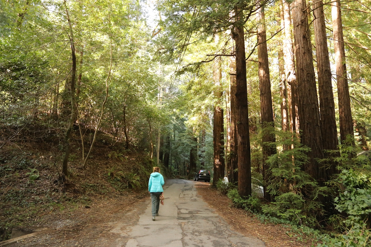
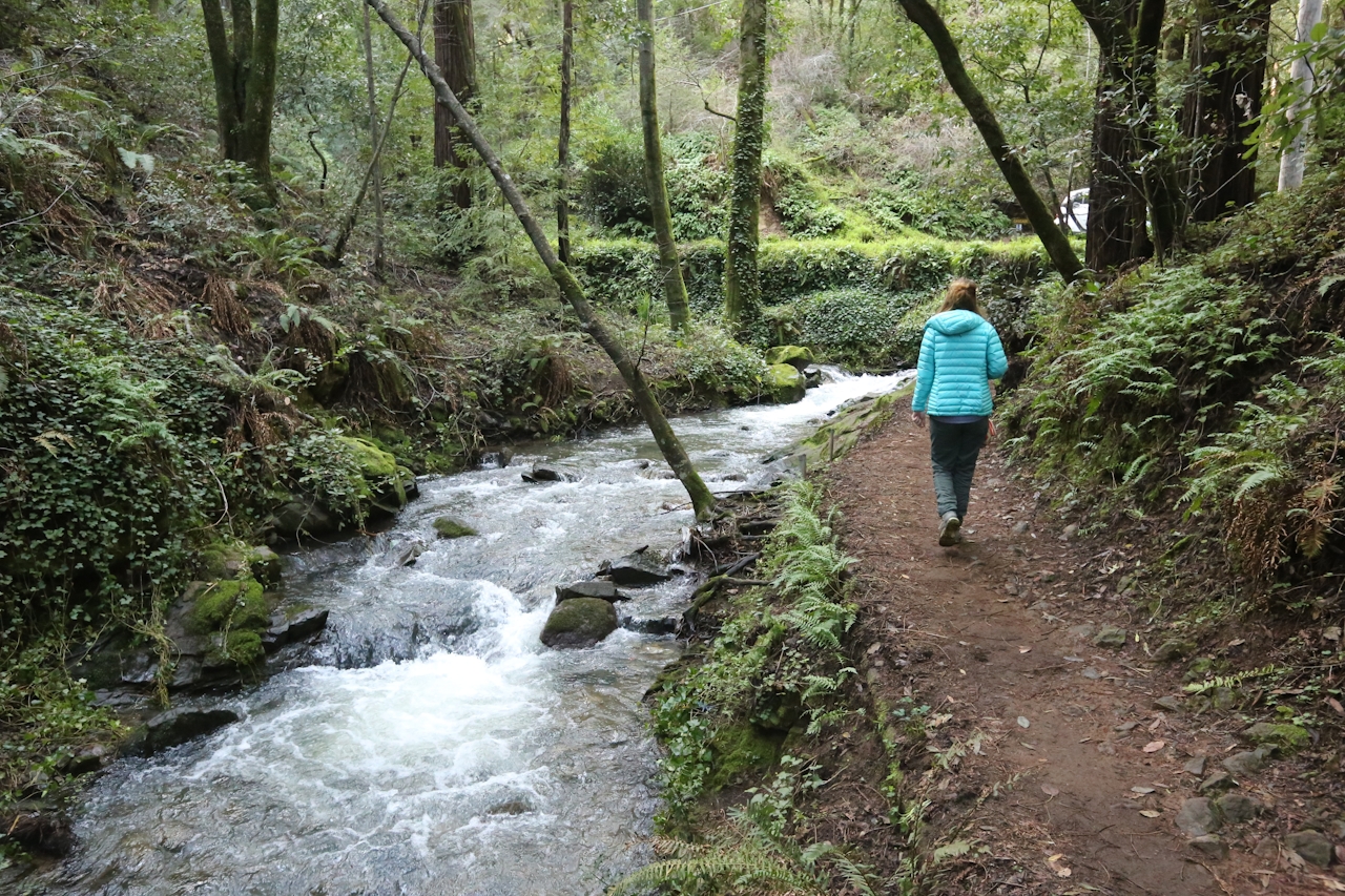
The hike starts from the heart of downtown Mill Valley, following quiet residential streets and cutting through parks forested by redwoods. Cascade Drive is paved, mellow walking, passing some houses. Within a mile, veer off the street and onto a dirt trail paralleling Cascade Creek and a fantastic oasis to whet your appetite: the waterfall known as Three Wells.
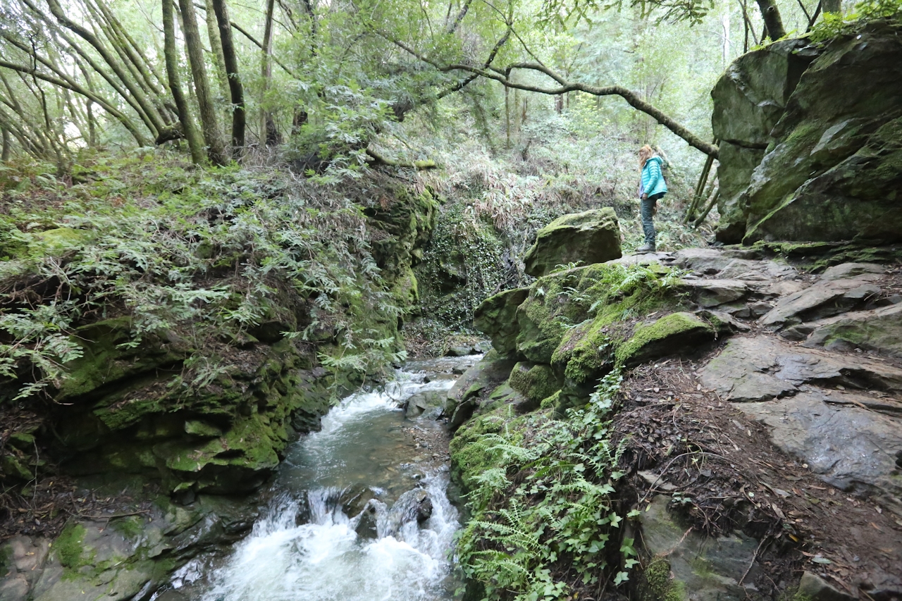
Keep going along the dirt trail as it briefly clambers over and around boulders with raging Cascade Creek below. (If recent rain has been heavy, this section might be flooded, and impassable, so instead continue up Cascade Drive.) Either way, you’ll reach the parking pullout for the official Cascade Falls trailhead. Cascade Falls sounds tame by name, but this waterfall roars after good rains, splashing into a grotto and putting on a good show!

BONUS CAFÉ: Post falls, visit the Depot Bookstore & Cafe for a glass of wine and locally sourced lunch fare, from soups and salads to panini. If the weather's nice, grab a table on their large outdoor patio overlooking Lytton Plaza.
Park in downtown Mill Valley by the Depot Bookstore and Cafe (87 Throckmorton Ave., Mill Valley). Walk west on Throckmorton Ave. a couple of blocks and reach Old Mill Park. Cut through it and cross over the wooden bridge toward Cascade Dr. (a small traffic circle) and turn right. Stay on Cascade Dr. for 0.75 mile. About 50 feet after mailbox #305 look for a trail on the left of the road. Take this as it makes its way beside Cascade Creek (if the water is too high, just stay on Cascade Dr.). You'll soon cross Cascade Dr. and enter the final short section to the falls. Return the way you came. Dog-friendly!







