East Bay Bike With Blossoms

Bike this Charming East Bay Loop Starting From Heather Farm Park

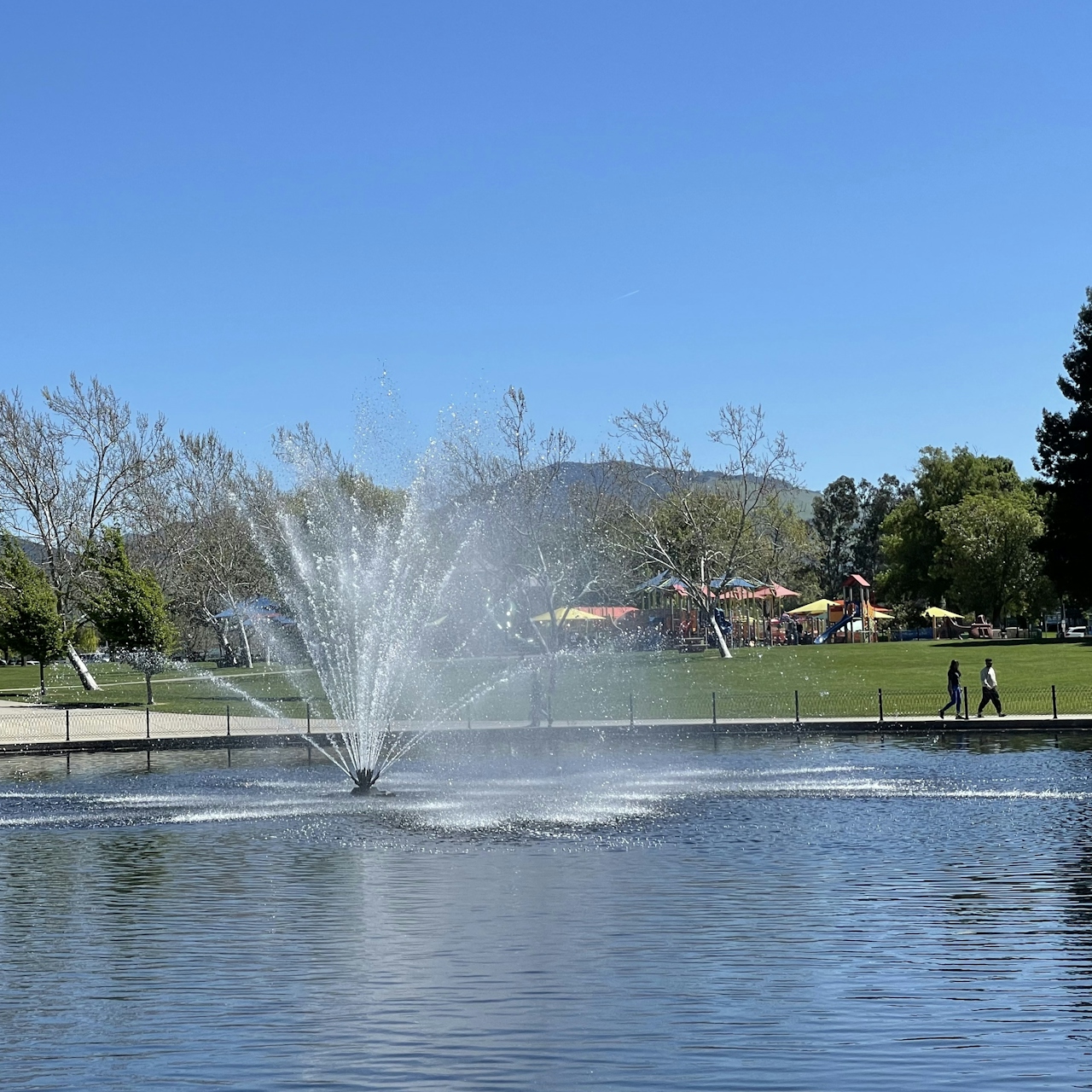
Woman on a bicycle passing a park lake with a fountain spraying water

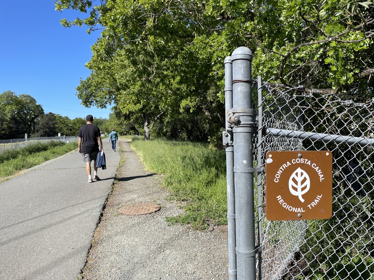
Spring wildflowers are in full bloom on this 15.5-mile bicycle loop through the East Bay. The route begins at Heather Farm Park. From the main parking lot, head north along the duck pond and hop onto the Briones to Mt. Diablo Trail, then turn left onto the Contra Costa Canal Trail. After a half mile, turn right onto the Iron Horse Regional Trail.
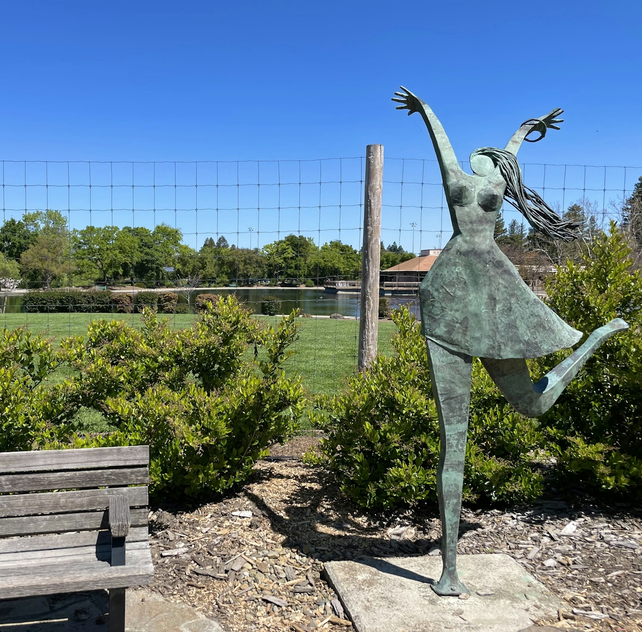
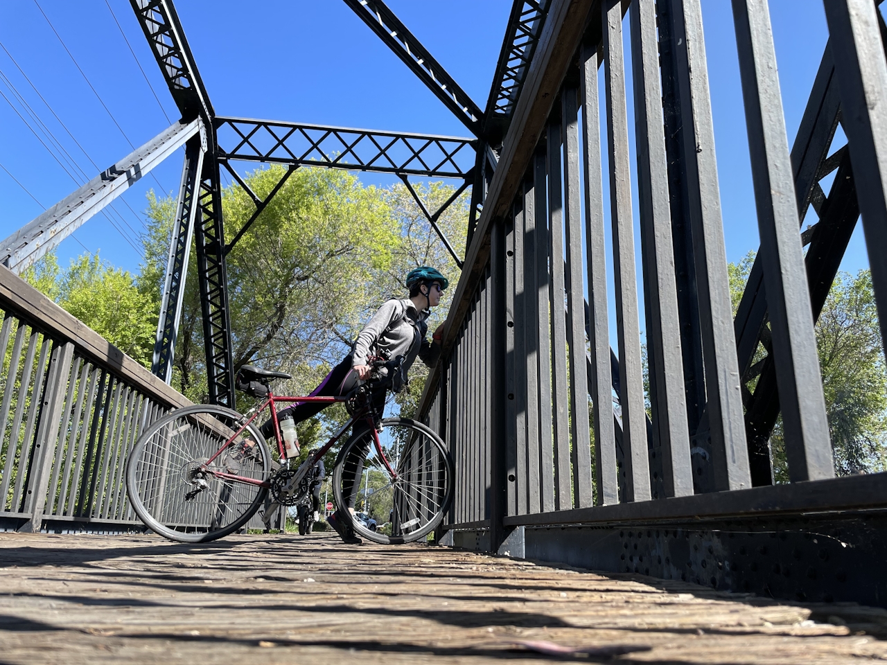
This paved route winds north through Pleasant Hill and Concord, and is the perfect way to explore the cities without worrying about car traffic. Cross the pedestrian-only bridge, and enjoy the colorful flower beds and artwork that residents have installed along the trail.
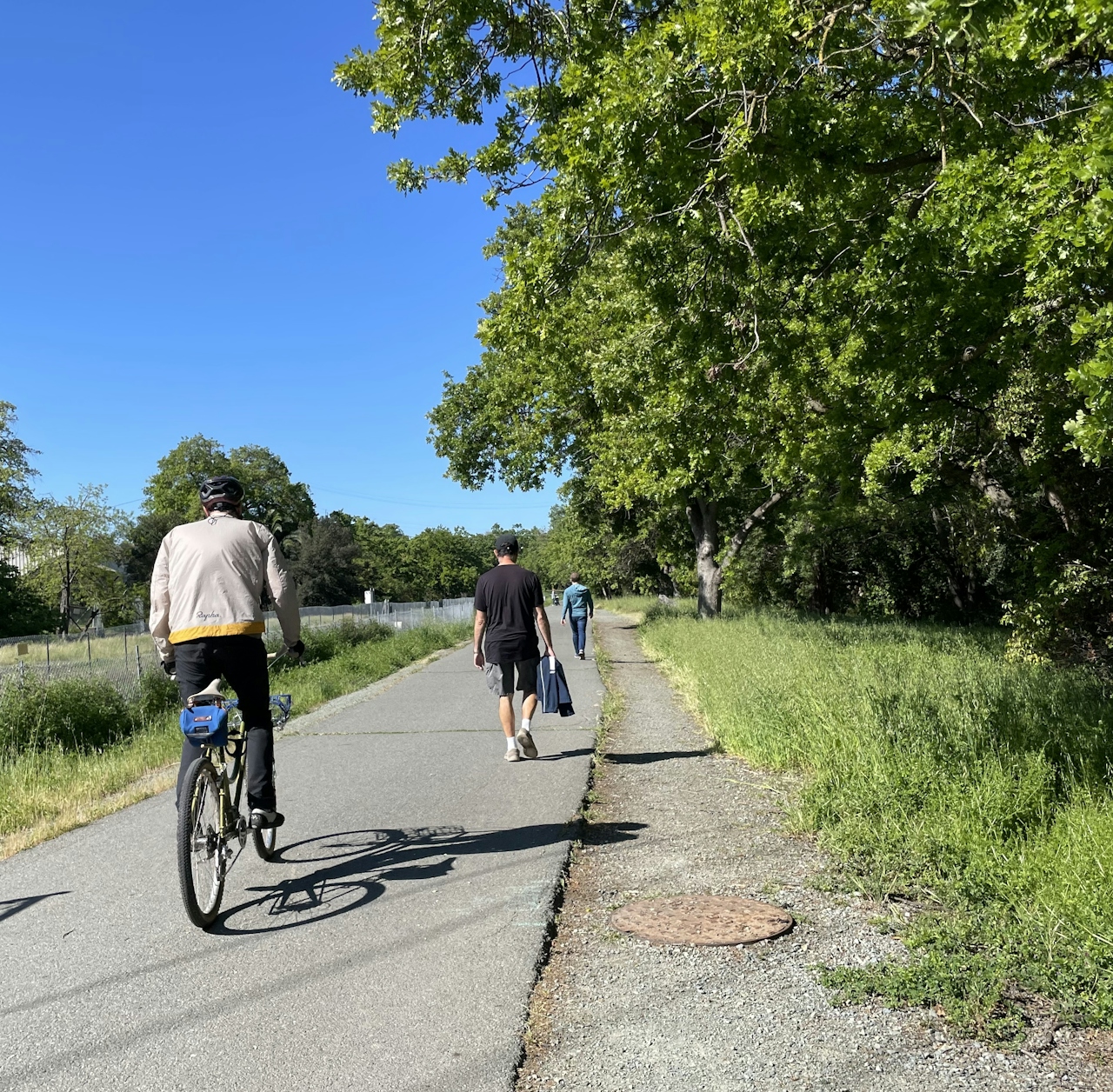
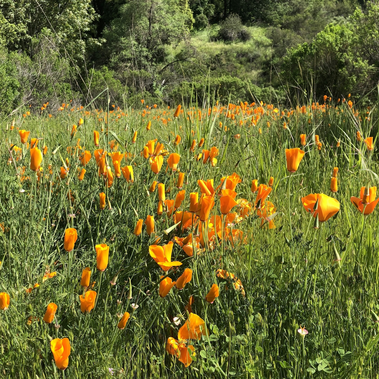
As cyclists near the Buchanan Field Airport, the city gives way to open grasslands surrounding Walnut Creek—home to herons, egrets, and geese. Colorful springtime wildflowers like wild mustard and radish line the route. Cyclists looking for a shorter route can turn around at Concord Ave and retrace the trail back for a 10-mile out-and-back.
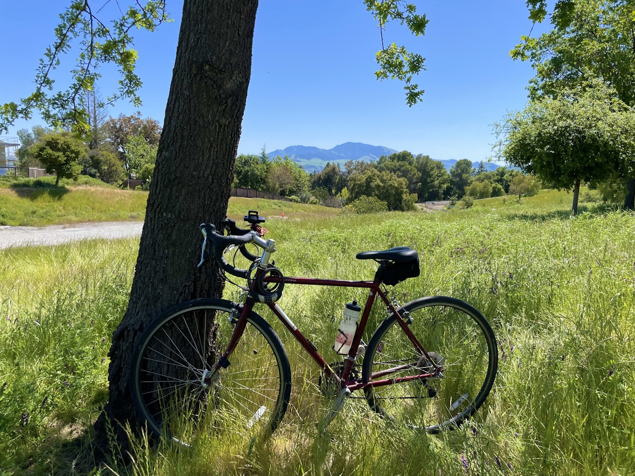
At the intersection with Marsh Drive, turn left to loop around the airport. To the southeast, the two peaks of Mt. Diablo dominate the horizon—a great photo op with biplanes swooping overhead! At the intersection with Center Avenue, turn right to cruise through town for a mile, then turn left onto the Contra Costa Canal Trail.
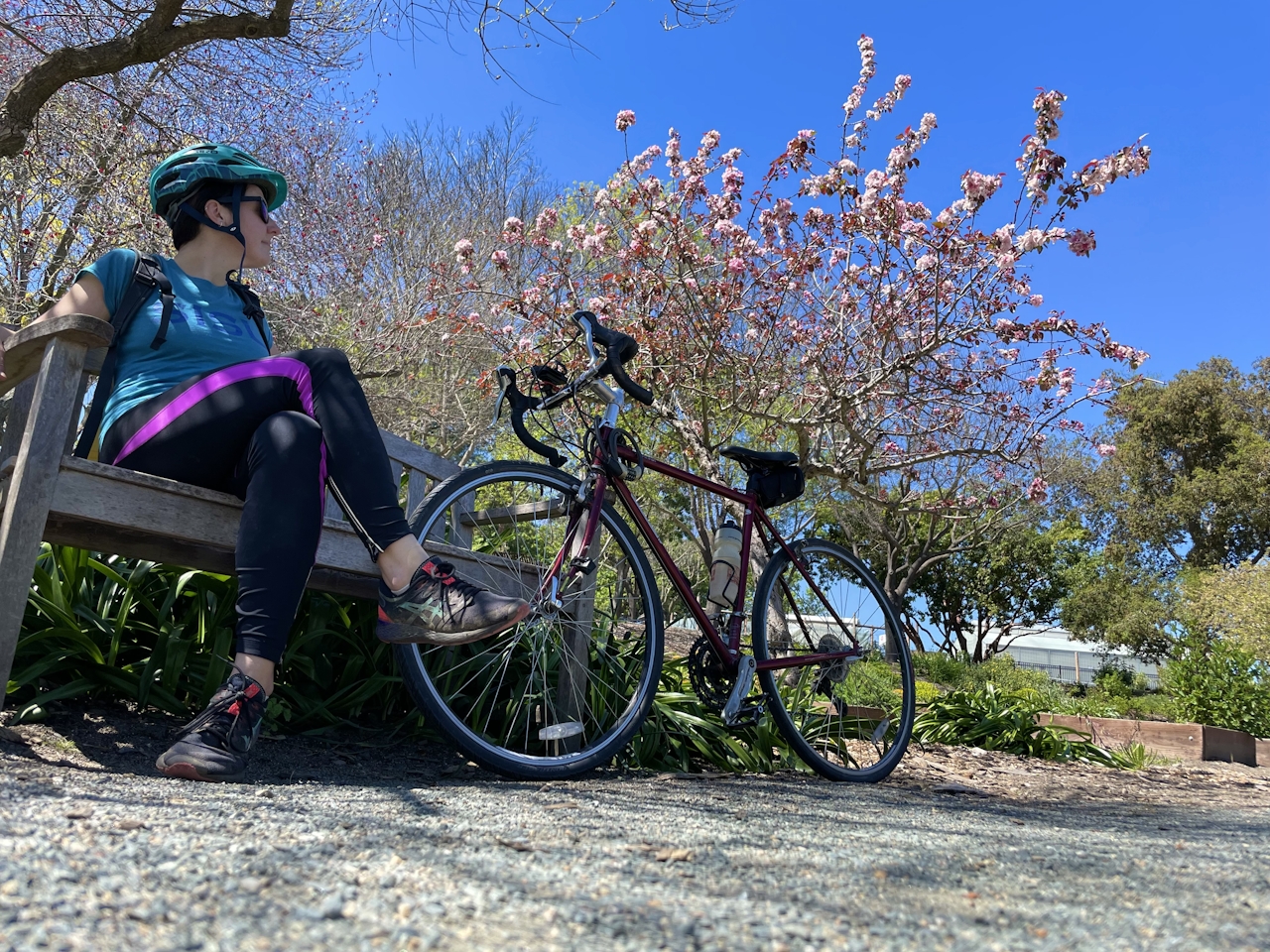
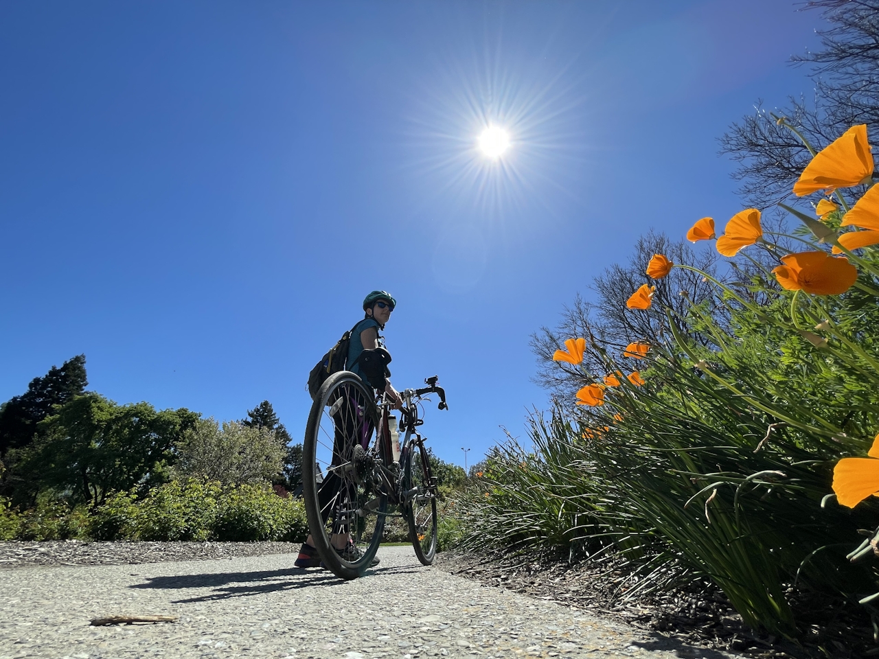
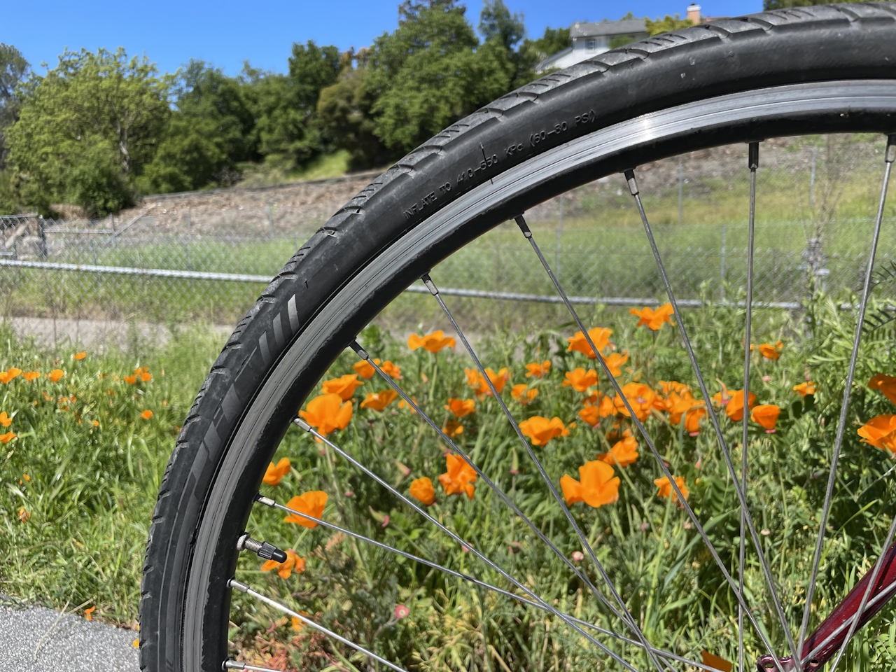
This stretch of trail is a biker’s paradise, with rolling green hills, shady parks, and swaths of California poppies adding a pop of bright color to the ride. Continue down Contra Costa Canal Trail until it intersects with the Briones to Mt. Diablo Trail, then turn right and retrace the route back to Heather Farm Park.
Before heading home, kick back and enjoy the beautiful park, from the picnic tables by the lake to the playground and volleyball courts. Or take a tour of the Gardens at Heather Farm, which include botanical gardens, a nursery, and florist workshops.

Heather Farm Park is located at 301 N San Carlos Dr. in Walnut Creek and is free to the public. Map. Dog-friendly.

Story and photos by Heather Werner, @heath.er.wer.ner

Trending Stories NorCal

View all Stories
  1. Napa Valley Paddle kayaker and paddle boarder on the Napa Valley river

    Napa's Wild Side

    It’s wine country’s Amazon. The gentle Napa River is an ecological—and recreational—delight. And Napa Valley Paddle sets you up for maximum enjoyment of this experience.

    View
  2. Inn-spiration Point!

    For more than a century, people have been hiking or mountain biking to West Point Inn for good reason. Perched at 1,785 feet on the southern slope of Mount Tamalpais, the historic inn has sweeping views from the Marin Headlands to the San Francisco skyline.

    View
  3. A Thousand Steps to Paradise

    A picture is worth a thousand words, but is a gorgeous beach in Laguna worth a thousand steps? The answer is yes, though the question is moot, because it’s only 223 steep steps down to the 400-yard stretch of sand known as 1000 Steps Beach.

    View
  4. Hike Mount Tamalpais into Muir Woods

    Muir Woods Through the Backdoor

    A backdoor entrance into Muir Woods? Hike a tranquil trail that starts in Mount Tamalpais State Park and quietly leads into Muir Woods, letting you avoid the busyness of the main parking area.

    View

Trending Stories SoCal

View all Stories
  1. There's Always To Moro!

    Looking for a rock-solid itinerary in Sequoia National Park? Pair the park's most famous viewpoint with one that's often overlooked.

    View
  2. Rancho Style

    Vicente Bluffs Reserve dazzles anytime, but during the golden hour it’s an absolute knockout. Majestic rocky bluffs, dreamy ocean views, and a picturesque lighthouse are just a few of the reasons.

    View
  3. Sponsored

    Take the Exit to the Best of the San Francisco Peninsula

    The San Francisco Peninsula is proof that some of Northern California’s greatest surprises are hiding just off Highway 101. All you have to do is take the exit.

    View
  4. Hike to the Sierra Buttes Fire Lookout in the Lakes Basin

    Lookout for This View!

    Sierra Buttes Lookout, at a lofty 8,591 feet, is a memory maker for its pucker-worthy stairway to the tower’s balcony. It's a 5-mile (round-trip) hike to reach it. And the reward? Epic!

    View