Stough Away
Hiking Stough Canyon Trail in Verdugo Mountains Los Angeles


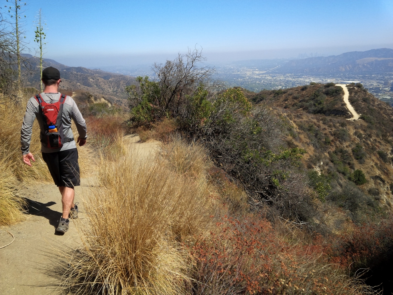
There’s nothing quite like old ruins to put civilization into perspective. Hiking to the vestiges of a mid-century youth camp perched in the Verdugo Mountains above Burbank doesn’t exactly top Machu Picchu, but the journey is still uniquely scenic—with jaw-dropping panoramas of Los Angeles to boot. Get there on a 2.6-mile lollipop loop starting from Stough Canyon Trail next to the Stough Canyon Nature Center. This wide motorway switchbacks up the canyon slope, gradually showing the DeBell Golf Course below. At a posted fork, take the footpath diverging left. Shortly you hit a small saddle revealing Burbank. There’s a hilly overlook to the left, labeled “The View,” but you’ll discover even better perspectives higher up.
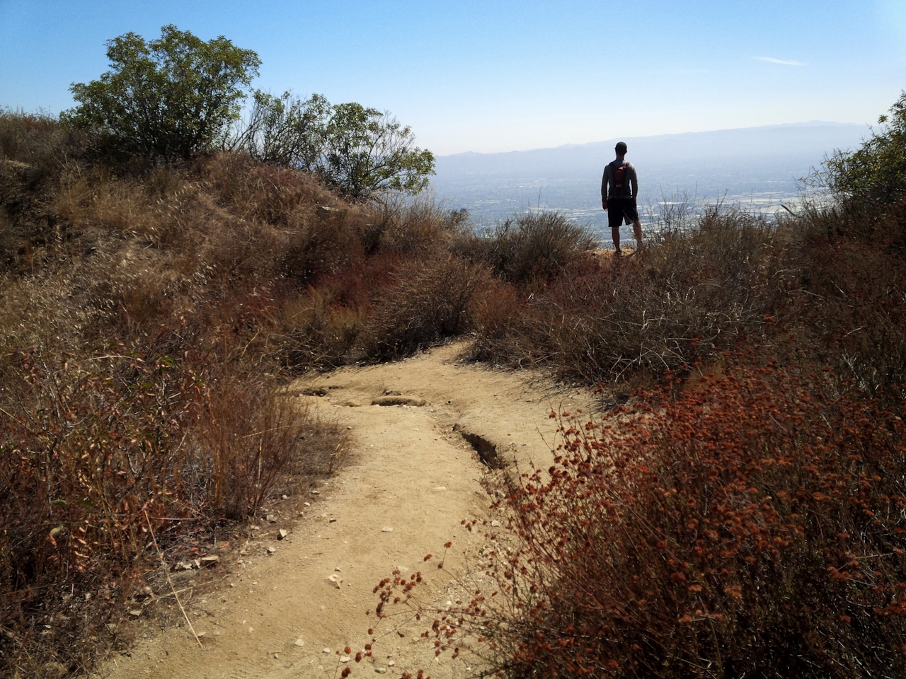
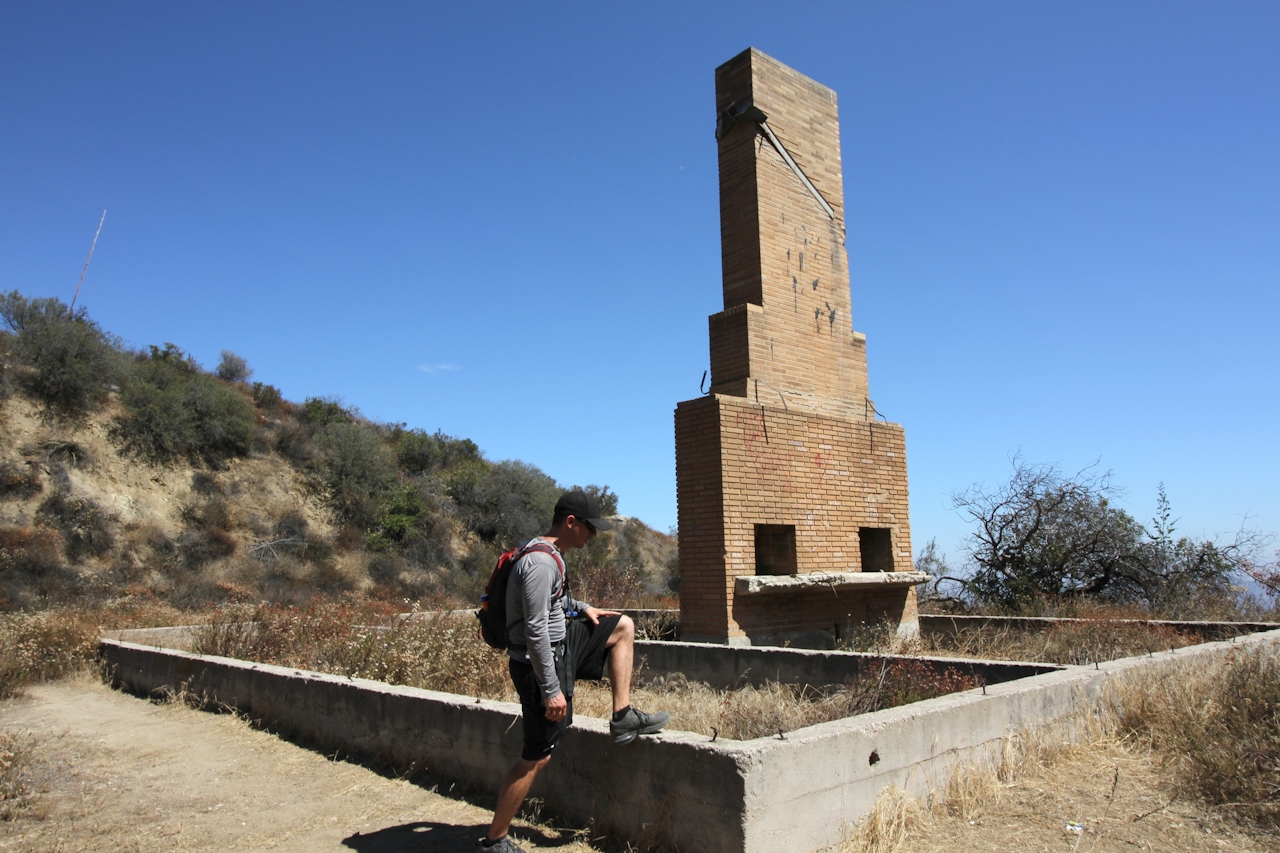
Sally forth! As the trail narrows to a sandy, hard-packed singletrack—at times doubling as an erosion ditch—the enveloping chaparral grows more varied and colorful despite baking in summer heat. In no time, the ruins appear, with a brick chimney rising from a concrete foundation. The adjoining flat, once a campground, is now a beautiful meadow flecked with the white and rust-colored flowers of California buckwheat. Established as a youth retreat in 1942 by a Hollywood church, the camp was abandoned sometime after vandals heavily damaged its lodge house in 1961, according to docents at the Stough Canyon Nature Center. Beyond the camp, the trail connects to Chandler Fire Road on the Verdugo crest, but first trudge up the hill northwest of the meadow. You’ll be rewarded with 360-degree views that include the ruins, the Los Angeles skyline, Griffith Park, the San Fernando Valley, and the San Gabriel Mountains. Watch as passenger jets take off from Bob Hope Airport below. Once you hit the ridgeline, head east and descend back down Stough Canyon Trail to complete the loop.
Go early (morning is best) for cooler temps and check the weather forecast to avoid hiking on an extremely hot day. From I-5 in Burbank, exit at Burbank Blvd. and go east. Turn right on N. 3rd, left on E. Harvard, left on N. Glenoaks, and then right on E. Walnut Ave. and continue 2 miles towards the Verdugo Mountains. After passing DeBell Golf Course, the road ends at parking for Stough Canyon Nature Center and the trailhead. Bikes and dogs allowed.







