Uphill Both Ways

Hike Wren Meacham Trail in Glendora's Big Dalton Wilderness

Wren Meacham Trail in Glendora’s Big Dalton Wilderness Area is a 1.9-mile out-and-back trail that’s uphill both ways. It boasts a whopping 744 feet of elevation, and you get to climb it twice, with fabulous views for extra inspiration.
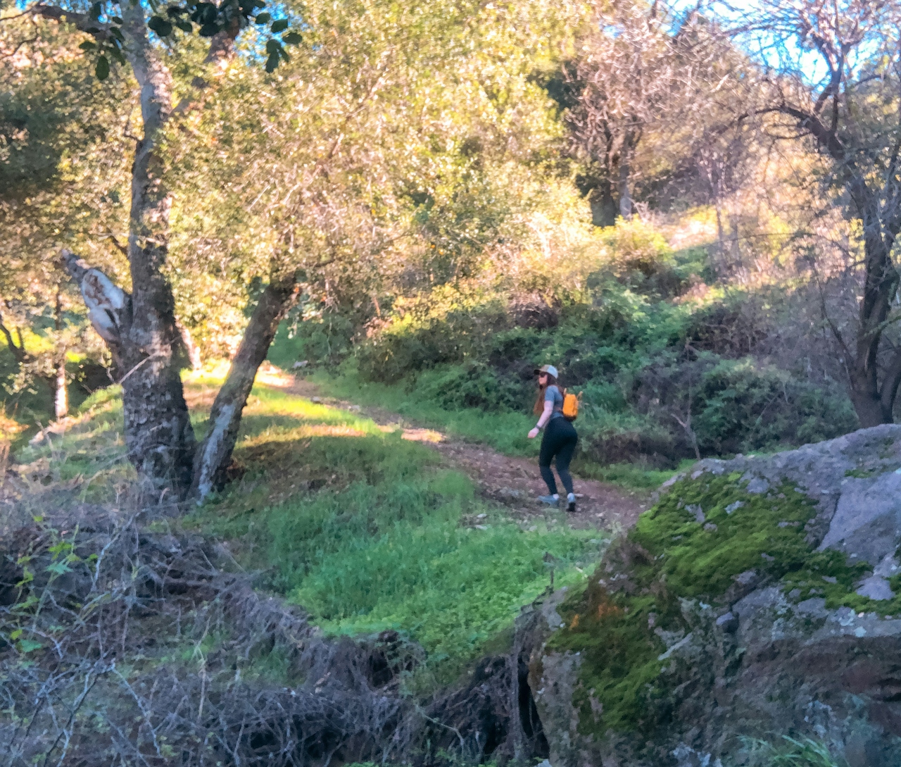
It all starts on the canyon floor, appearing as a pleasant stroll through the riparian woodland shaded by coast live oaks. After a couple of easy stream crossings (careful after big rains), you’ll see the official start to the Wren Meacham Trail, where the elevation gain kicks in (spoiler alert: it looks like stairs).
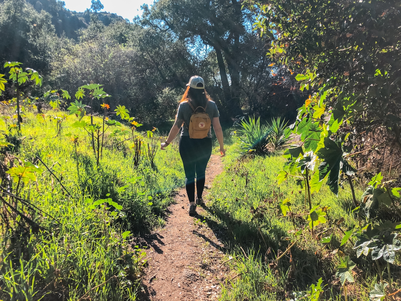
Right off the bat the trail climbs steeply as it makes its way out of the canyon and skirts the edges of the mountainside. It never summits any of the small peaks, but it sure feels like it should! The surrounding views are lovely all around—from the canyon to the snowcapped San Gabriel Mountains, or all the way out to downtown Los Angeles on clear days.

Be sure to watch out for snakes and mind your footing—the steep grades can be slippery (use caution). The occasional screech of a red-tailed hawk pierces the air, but otherwise you’ll likely find nothing but solitude. After approximately half a mile of solid climbing, the trail starts descending to the canyon, ultimately ending at a fenced-off dam and storm drains (a rather anticlimactic end to all that effort but the views along the way more than make up for it).

After catching your breath, turn around and do the whole thing again! You’ve got this.

The Wren Meacham Trail is in the Big Dalton Wilderness Area in Glendora. Park is open from 7 a.m. till sunset. Dog-friendly.

Story and photos by Natalie Bates, @wanderwithnatalie

Trending Stories NorCal

View all Stories
  1. Woman with her arms outstretched to the rolling hills scenery while on a rock outcrop at Barnabe Peak in Samuel P Taylor Sate Park in Marin

    Barnabe Bonanza

    Sure, there are higher mountains in Marin (Mount Tam) and easier ascents (Mount Burdell), but is there a more expansive North Bay view? Barnabe Peak in Samuel P. Taylor State Park offers a glorious panorama including Mount Tam, Mount Diablo, and Mount St. Helena.

    View
  2. Tamtastic Sunset

    Sure, the East Peak of Mount Tam is absolutely spectacular at sunset, but some magic-hour enthusiasts head to a nearby spot, Trojan Point, for a little more personal space in their panoramic viewings.

    View
  3. Hiker on the SCA trail in Marin Headlands with view of the Golden Gate Bridge

    Headlands Over Heels

    People come from all over the world to get a glimpse of the Golden Gate Bridge. Get a dramatic and novel view of the bridge without all the people on this moderate 6-mile hike in the Marin Headlands.

    View

Trending Stories SoCal

View all Stories
  1. Woman hiking the San Onofre Bluffs Loop Trail to San Onofre State Beach in San Diego County

    Bluffing Good!

    Lovely coastline, beautiful beaches, unique geological history, and picturesque sandstone cliffs with limited foot traffic in San Diego County? Head to San Onofre State Beach and the 5-mile San Onofre Bluffs Loop Trail.

    View
  2. Can We Get a Whoop Whoop!

    City, mountain, and ocean views all in one hike? Whoop whoop! It’s no surprise the the Kenter Fire Road and Whoop-de-Doos Trail (a combo of fire road and singletrack) is a favorite among local mountain bikers and hikers alike.

    View
  3. The Big Chill

    In LA, finding a place to chill can be the ultimate flex. So flex, in Franklin Canyon! This unexpected oasis has plenty of shade, cool lake breezes, and ample picnicking spots. Enjoy it on an easy-going 1-mile stroll along its reservoir and duck pond.

    View





