Ciao Bello!

Hike to the Top of Black Mountain in Monte Bello Open Space

Hike Monte Bello Open Space to Black Mountain

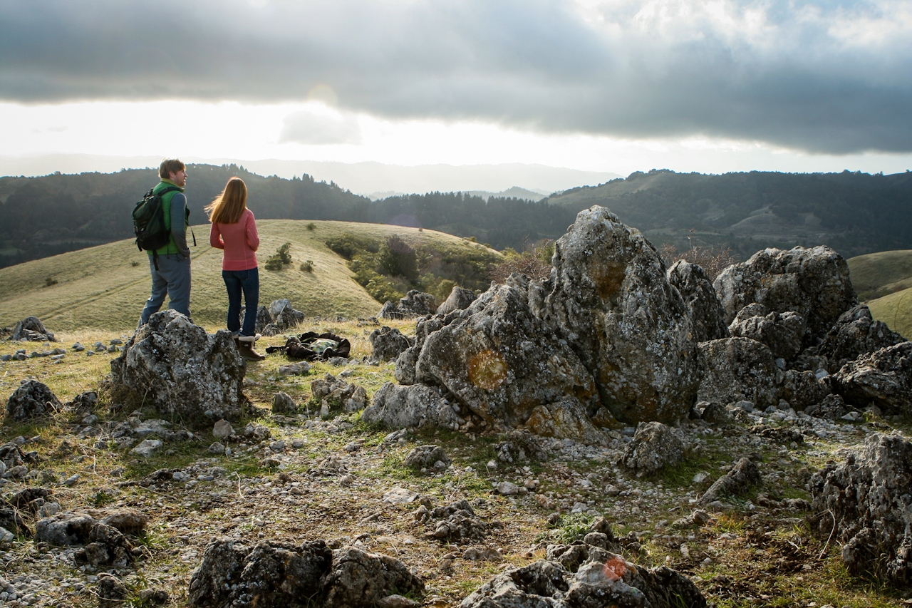
Rising 2,800 feet over the Peninsula’s Monte Bello Open Space Preserve, Black Mountain—the inspiration behind Mountain View’s name—quietly stands watch over the South Bay. The 2-mile (one-way) exposed trail that climbs gradually to Black Mountain’s summit is a feast for the eyes: dense yellow grass blankets rolling hills and blows in the wind like a lion’s mane.
Hike Monte Bello Opens Space to Black Mountain

At the top, scattered boulders (pictured) provide the best place for your first picnic of 2009. This lofty route rewards hikers with 360-degree views across the South Bay, from the Santa Clara Valley all the way to the Mount Hamilton range and the Santa Cruz Mountains.

TIP: If you want to add an extra 2 miles to the hike, descend Indian Creek Trail and loop back up Canyon and Stevens Creek Nature Trail; this loop includes a long and relatively steep descent into a canopy of trees, with a few bridge crossings along the way.

From I-280 in Palo Alto, exit Page Mill Rd. going west and climb 7 curvy miles up to Monte Bello Open Space. Pick up a map at the kiosk. Take the main trail from the parking lot, Stevens Creek Nature Trail. Take the left fork heading toward the Canyon Trail. Follow the Canyon Trail .25 mile, then take Bella Vista Trail up. Stay on this for a mile before turning right onto Old Ranch Trail. Go past the Backpack Camp and continue another .25 mile to summit of Black Mountain. Continue a couple of hundred feet on the wide road past the radio towers to find the large rocks. Return the way you came or follow the TIP above to make it a loop hike. No dogs.

Trending Stories NorCal

View all Stories
  1. Greater by the Dozen

    This hike is anything but a dime a dozen. The all-new "Golden Gate Dozen Trail" links 12 National Park sites on a spectacular 13-mile journey across San Francisco's coastline.

    View
  2. Napa Valley Paddle kayaker and paddle boarder on the Napa Valley river

    Napa's Wild Side

    It’s wine country’s Amazon. The gentle Napa River is an ecological—and recreational—delight. And Napa Valley Paddle sets you up for maximum enjoyment of this experience.

    View
  3. A Thousand Steps to Paradise

    A picture is worth a thousand words, but is a gorgeous beach in Laguna worth a thousand steps? The answer is yes, though the question is moot, because it’s only 223 steep steps down to the 400-yard stretch of sand known as 1000 Steps Beach.

    View
  4. Hike Mount Tamalpais into Muir Woods

    Muir Woods Through the Backdoor

    A backdoor entrance into Muir Woods? Hike a tranquil trail that starts in Mount Tamalpais State Park and quietly leads into Muir Woods, letting you avoid the busyness of the main parking area.

    View

Trending Stories SoCal

View all Stories
  1. Rancho Style

    Vicente Bluffs Reserve dazzles anytime, but during the golden hour it’s an absolute knockout. Majestic rocky bluffs, dreamy ocean views, and a picturesque lighthouse are just a few of the reasons.

    View
  2. Inn-spiration Point!

    For more than a century, people have been hiking or mountain biking to West Point Inn for good reason. Perched at 1,785 feet on the southern slope of Mount Tamalpais, the historic inn has sweeping views from the Marin Headlands to the San Francisco skyline.

    View
  3. Sponsored

    Take the Exit to the Best of the San Francisco Peninsula

    The San Francisco Peninsula is proof that some of Northern California’s greatest surprises are hiding just off Highway 101. All you have to do is take the exit.

    View
  4. Hike to the Sierra Buttes Fire Lookout in the Lakes Basin

    Lookout for This View!

    Sierra Buttes Lookout, at a lofty 8,591 feet, is a memory maker for its pucker-worthy stairway to the tower’s balcony. It's a 5-mile (round-trip) hike to reach it. And the reward? Epic!

    View





