Up to Umunhum
Hike to the newly opened peak of Mount Umuhum in the Santa Cruz Mountains


Clocking in at 3,486 feet, Mount Umunhum is one of the highest peaks in the Santa Cruz Mountains and has long been a South Bay landmark with the mysterious radar tower sitting atop, all of it inaccessible—until just a few months ago, when the Midpeninsula Regional Open Space District opened Mount Umunhum to visitors.
Technically, it’s located within the Sierra Azul Open Space Preserve, and you can reach the peak via the Mount Umunhum Trail. Despite its impressive elevation, the 3.7-mile (one-way) climb up to the summit is gentle, and mostly shaded by coast live oak and foothill pines. When you finally emerge from the trees, a stairway leads to the top, where the historic radar tower sits.
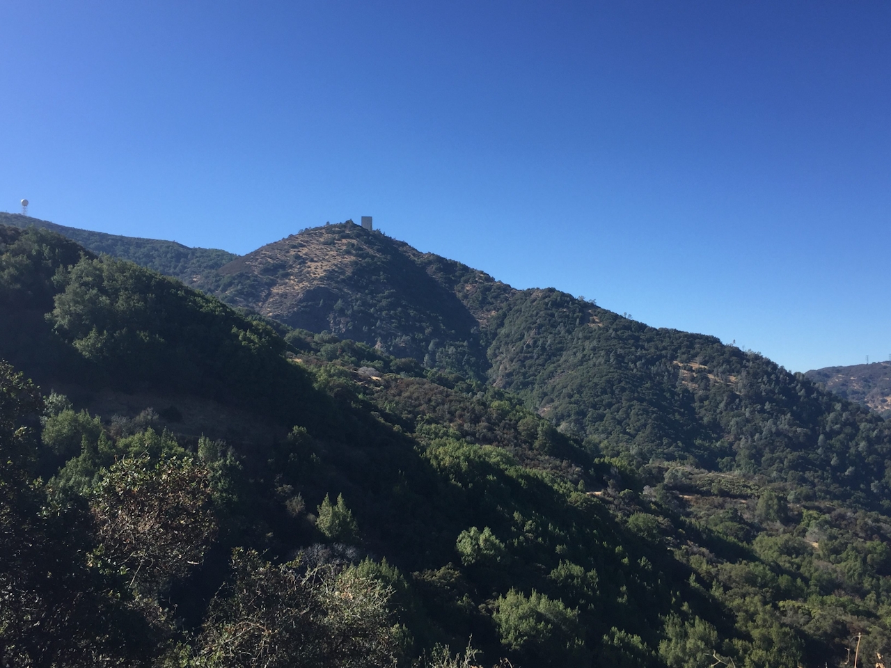
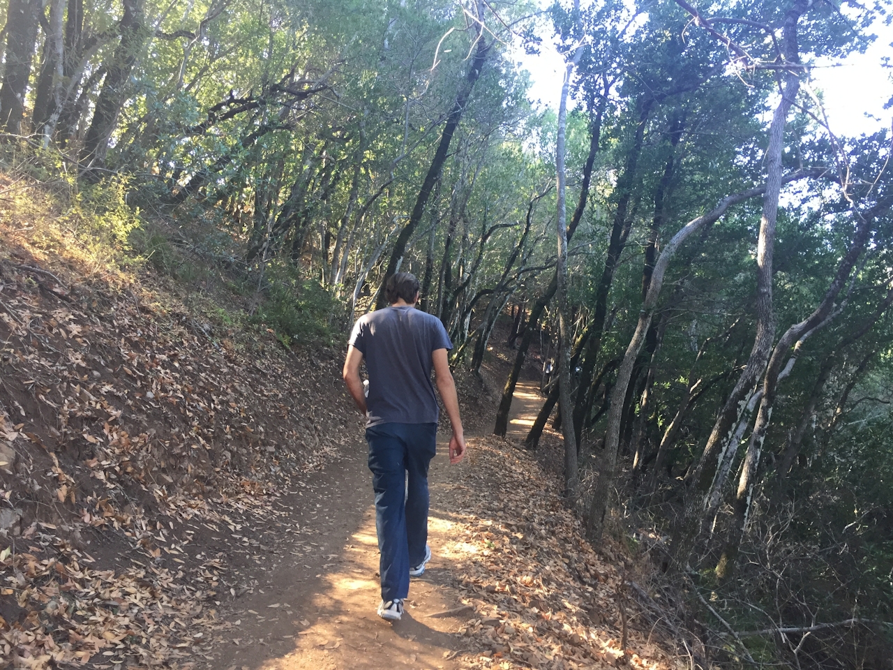
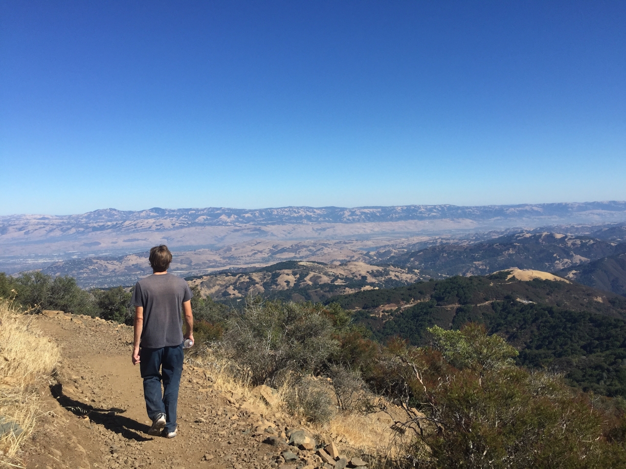
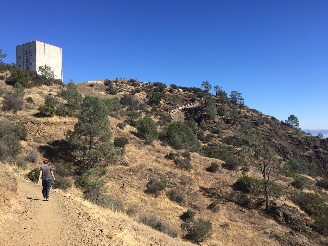
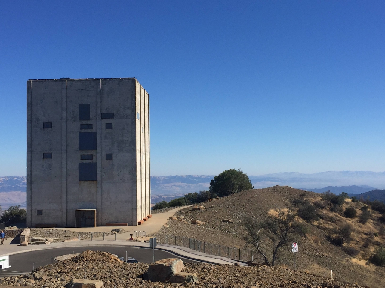
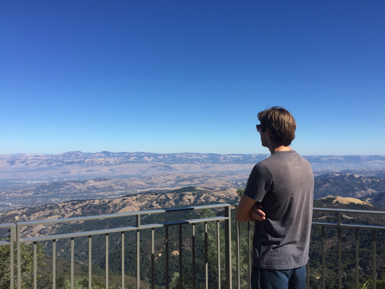
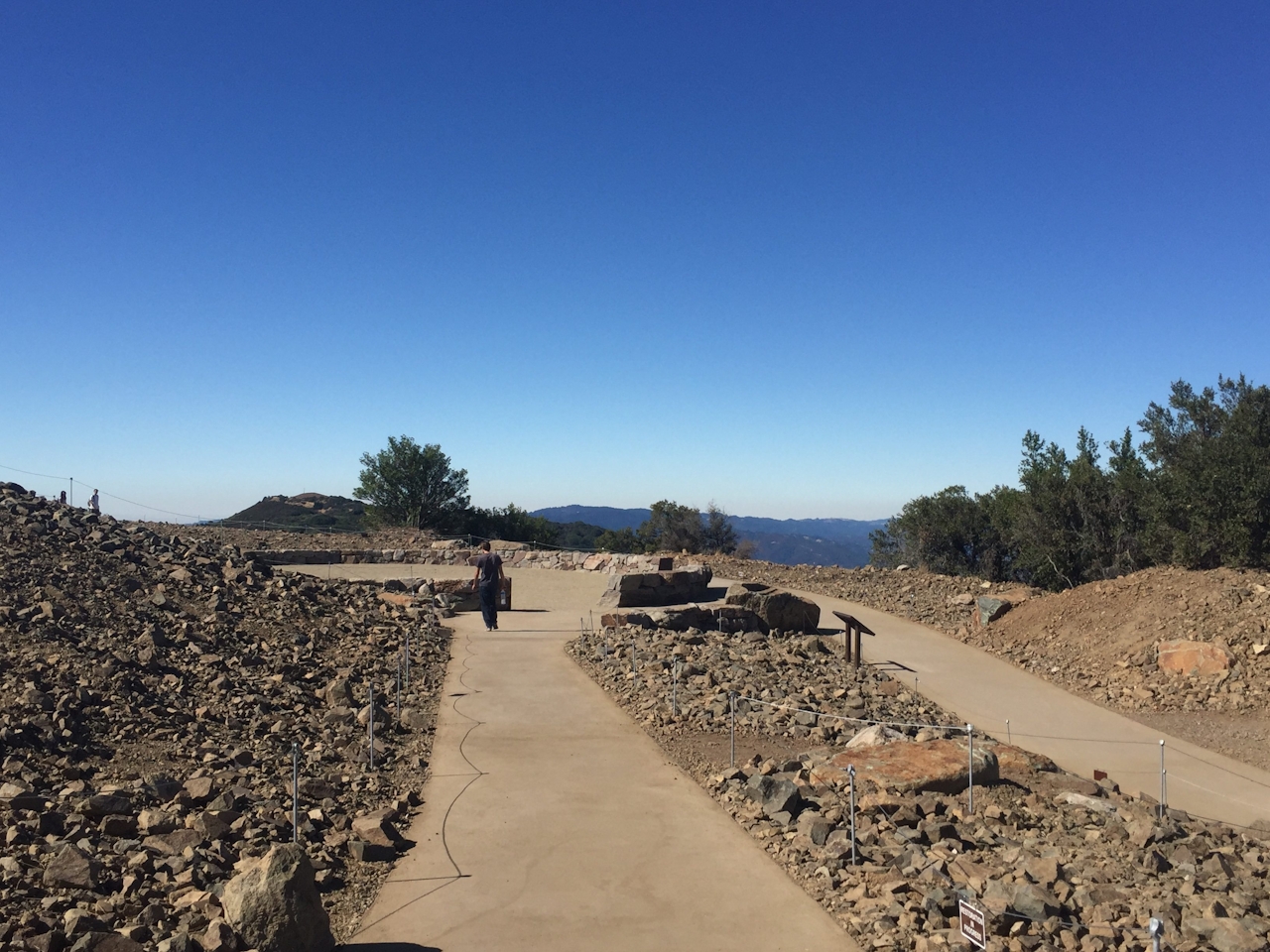
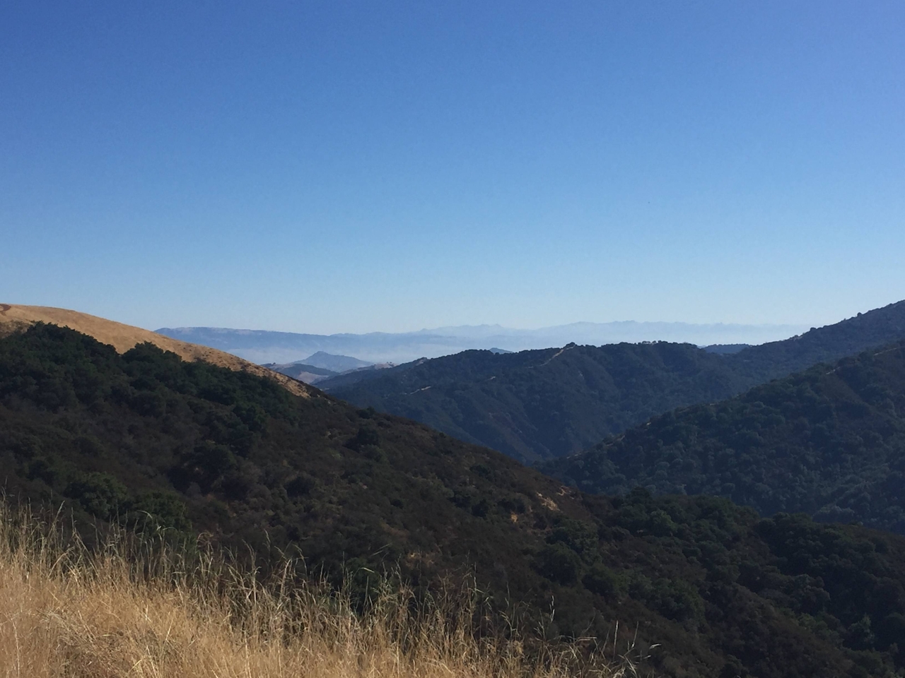
The backstory: 31 years ago Midpeninsula Regional Open Space District purchased this former Air Force station from the US government. You can’t enter the tower, but the contrast of the stark building with the beautiful mountains and valley stretching below makes for a memorable view. The summit’s cantilevered deck is a nice viewpoint overlooking the Santa Clara Valley, with panels describing the area’s history. A path around the peak has benches facing all directions, including East Summit vistas of two other iconic peaks, Mount Diablo and Mount Tamalpais. On clear days (more common in autumn and winter!) you’ll get incredible views of the Pacific, as far the Monterey Peninsula, with Loma Prieta and Mount Hamilton in the mix. Don’t miss the ceremonial space dedicated to Native Americans and a place to contemplate and take a few deep, relaxing breaths … ahhh-Umunhum …
NOTE:
The area surrounding the base of the radar tower at Mount Umunhum, pathways leading to the area and the East Summit Viewpoint are temporarily closed.
This is a 7.4-mile (round-trip) hike. Bring water (there is no drinking water available at this preserve). Biking is also allowed for the majority of the trail, up until the final 0.2 mile to the summit. From Hwy. 85, exit onto Camden, and head south toward the mountains. Go down Camden for about 2 miles and then turn right on Hicks Rd. Continue along Hicks until you get to Mount Umunhum Rd., where you’ll make a right. The Bald Mountain parking lot is free and is located on Mount Umunhum Rd., approximately 1.7 miles past the intersection of Hicks Rd., on the left side. Cross the street to get to the Mount Umunhum Trailhead. No dogs. Alternative: If you do not feel like hiking but still want the views, there is also a parking lot at the summit.







