Lava Lava
Hike to the Lava Tube in Mojave National Preserve


Once a land of volcanic activity, Mojave National Preserve shares plenty about its past via a quick yet adventurous hike to the Lava Tube in the Cima Dome Volcanic Field. The drive to reach the trailhead to the basaltic Lava Tube is much longer than the roughly half-mile (round-trip) trail, but it’s worth it for those who like a good adventure. Keep in mind, access to the trailhead requires approximately 5 miles of driving down a washboard road. It is passable for low-clearance vehicles, but just be sure to take your time and drive cautiously in case of potholes or dips (be prepared for it to take around 30 minutes each way to drive those 5 miles).
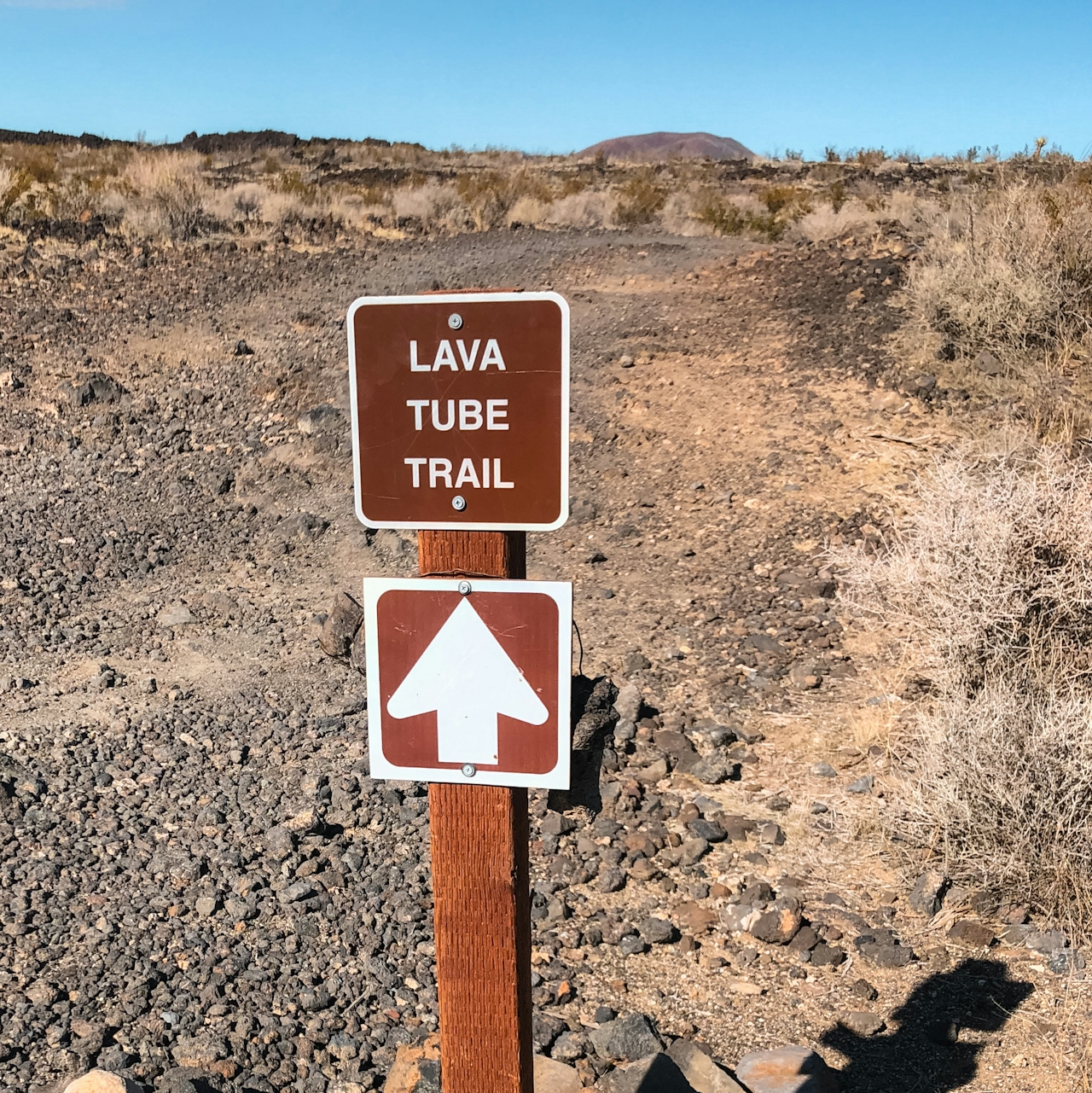
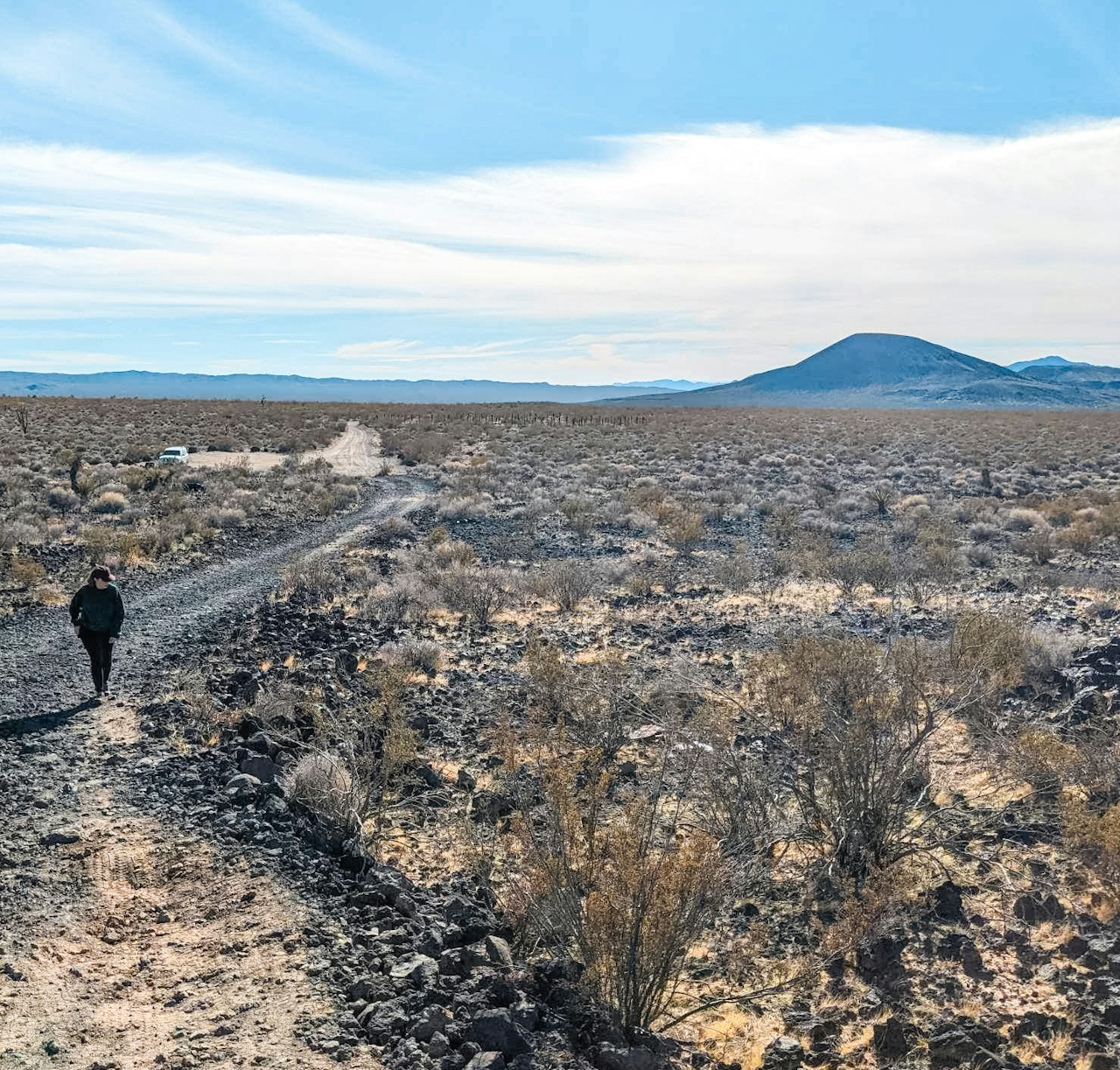
Eventually you’ll reach a circular parking area and then you’ll see a small sign saying “Lava Tube” that marks the start of the trail. It’s a short walk, only around 300 yards or so, but the views are incredible: wide-open desert vistas as far as the eye can see and no civilization in sight. A powerful reminder that you are definitely in the middle of nowhere.
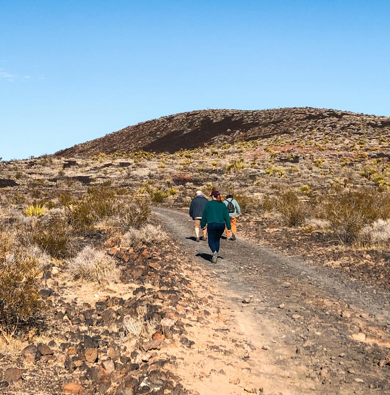
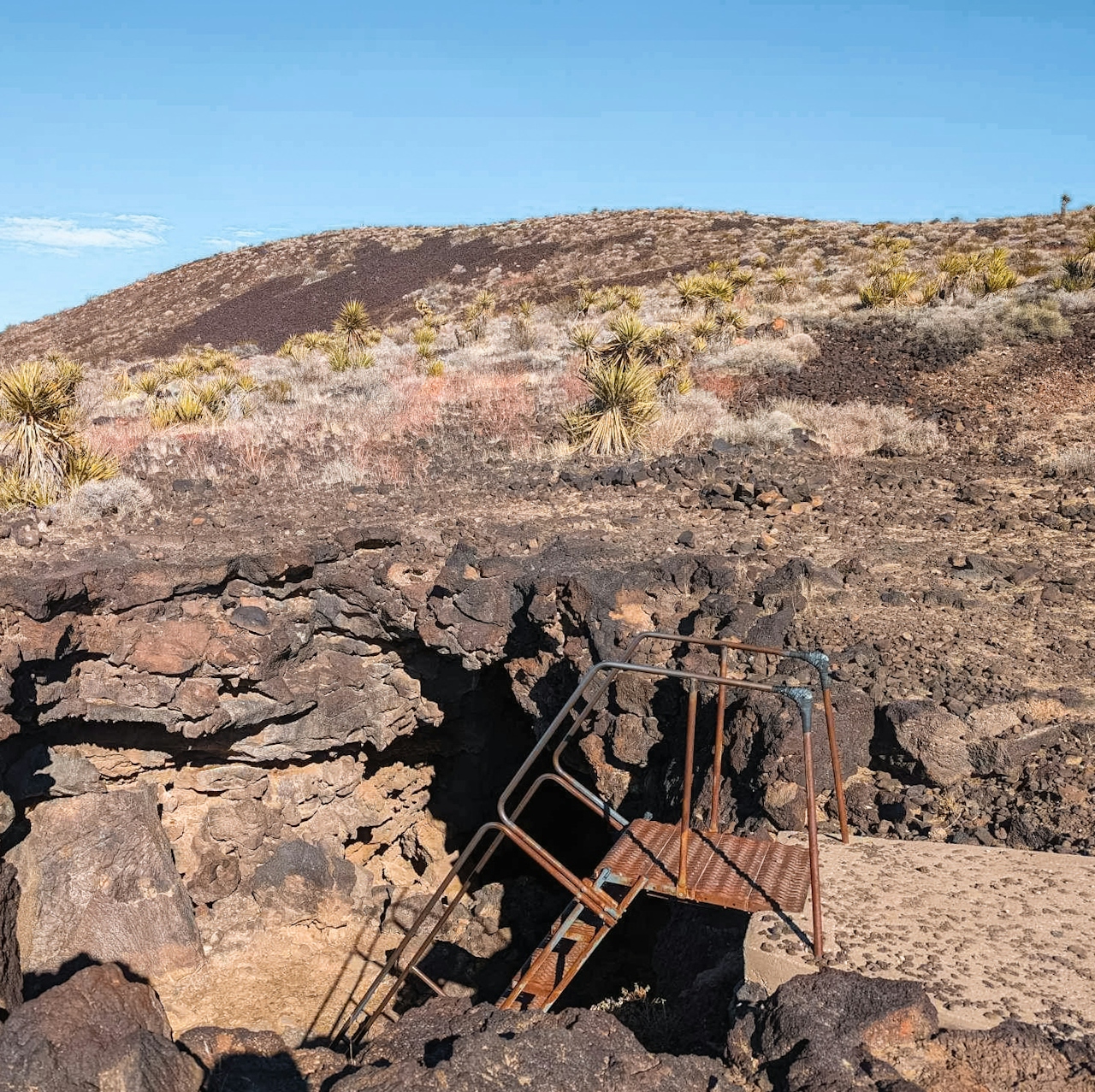

As you hike uphill through the lava flow, keep your eyes peeled for a spur trail on the right that will lead you to the entrance of the lava tube. Though it’s unmarked, the trail is fairly obvious and shortly after making the turn you’ll see some lava formations with holes opening up into the earth to help you know you’re in the right place. After a minute or two the entrance will appear before you—a giant hole in the ground with a metal staircase descending into it. That’s where the fun begins!
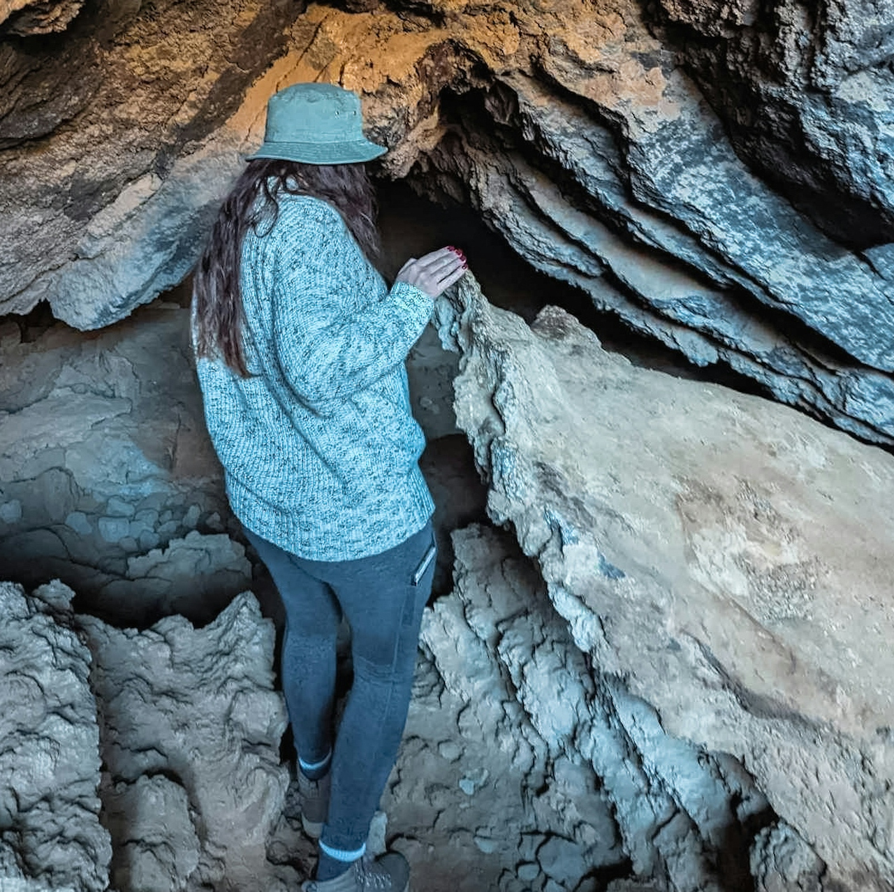
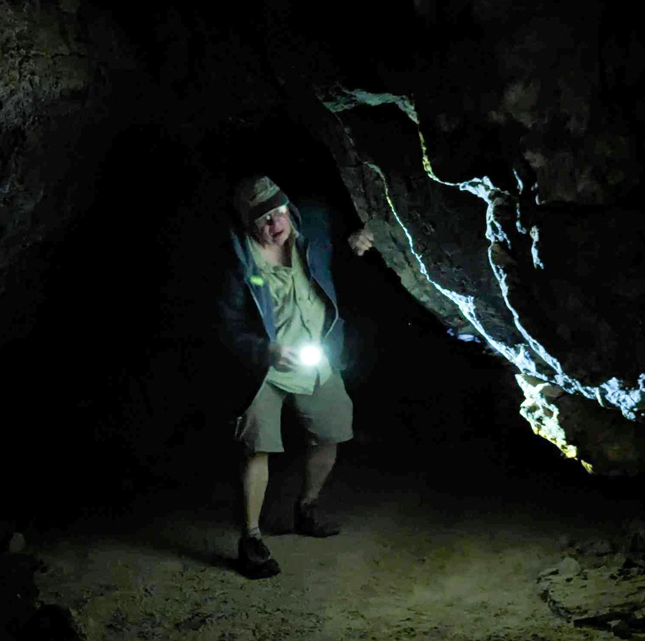
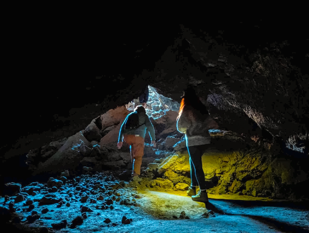
The lava tube looks daunting once you reach the bottom of the stairs: a short rock scramble and then a dark tunnel that is so low you have to hunch over or crawl to get through (be sure to have a light source and watch your head!).

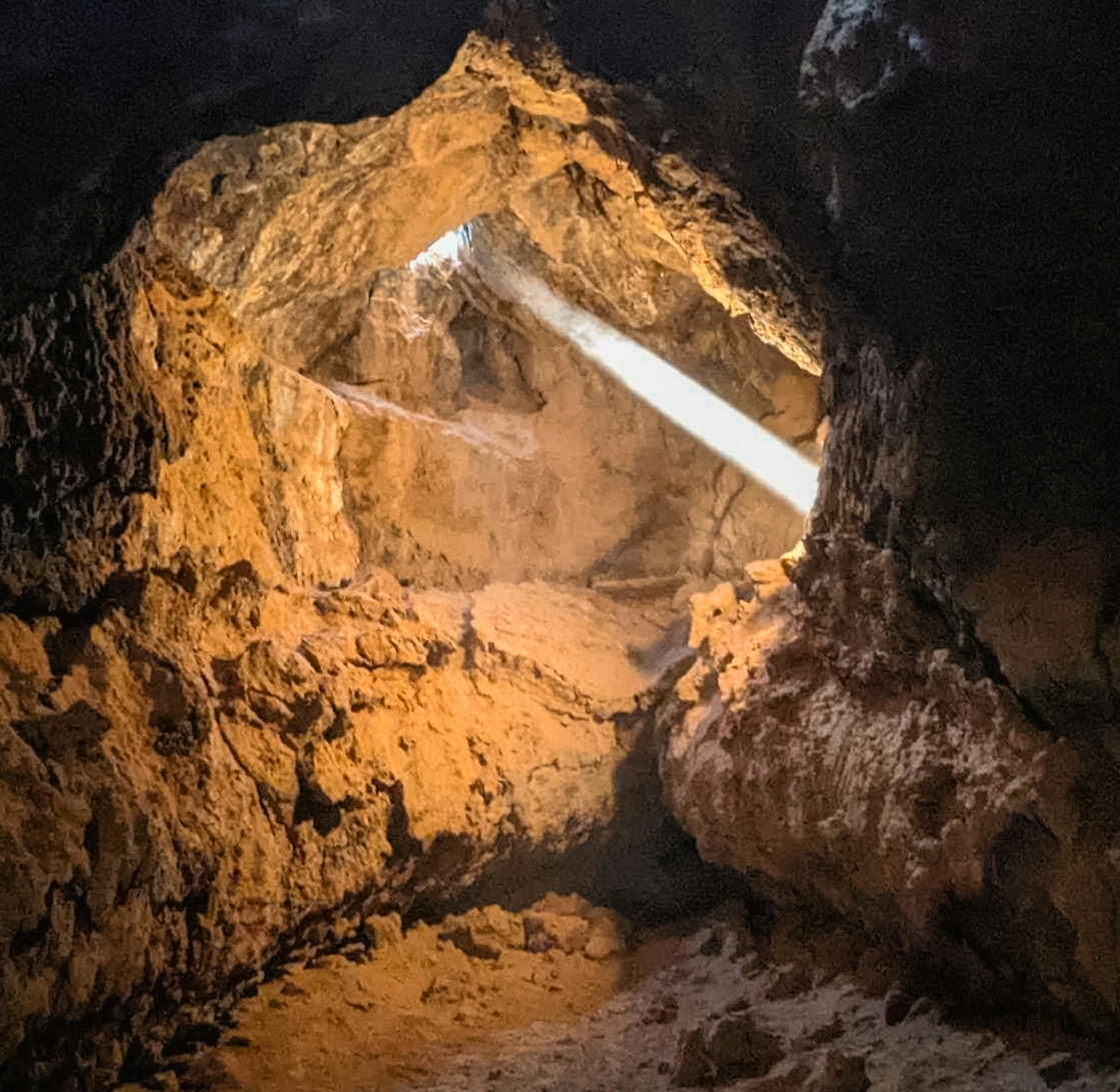
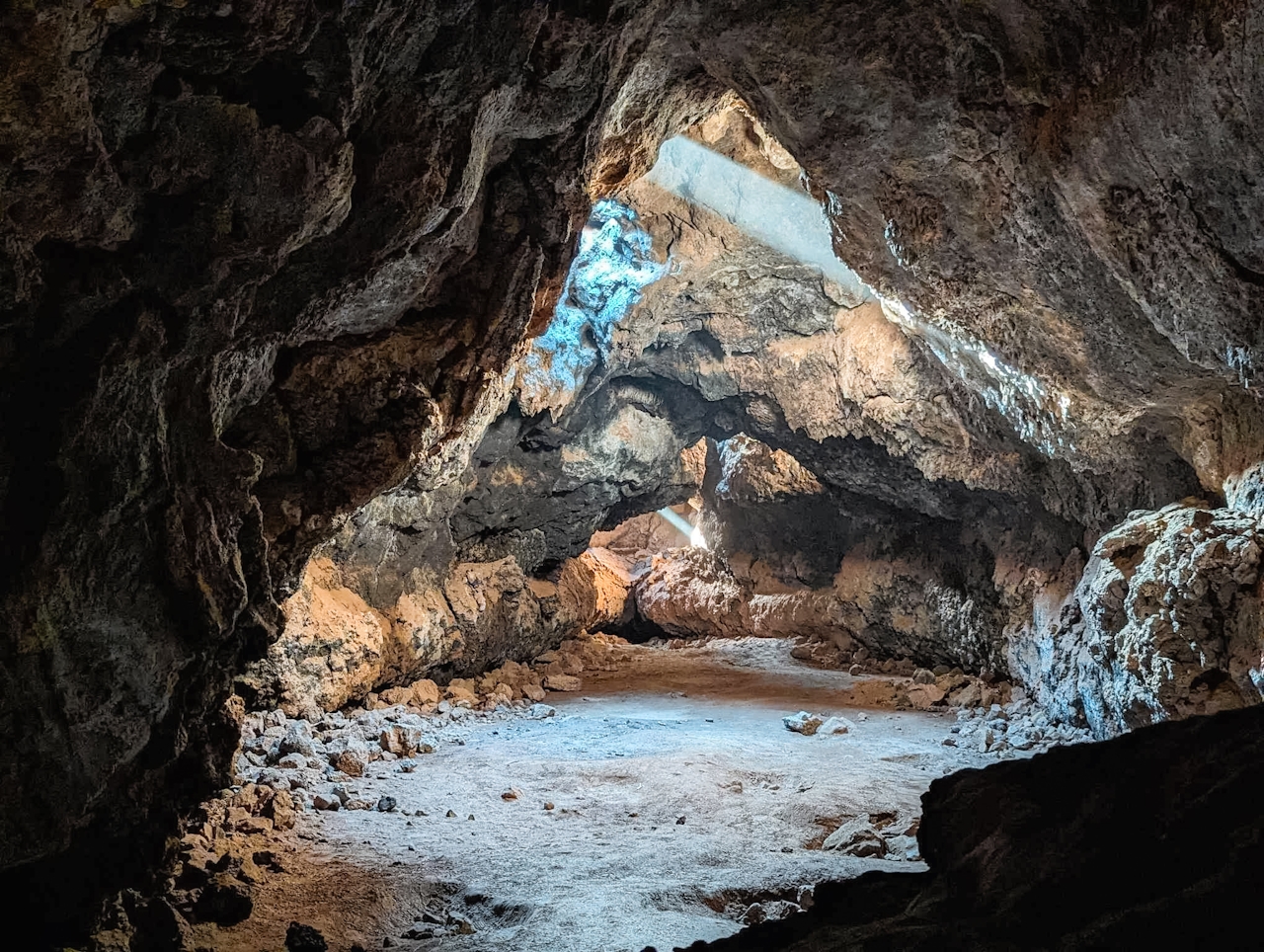
But almost immediately after you enter the tunnel it starts to open back up again, and then suddenly you’re in a large room filled with light. It’s a very short lava tube but truly incredible to see as the light enters the room from those lava formations you saw up above.
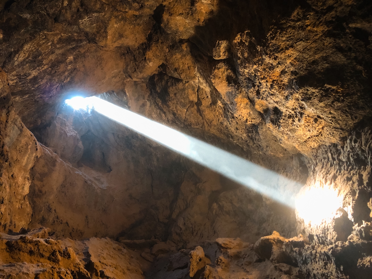
TIP: Kick up a little dust into the light to give it that Raiders of the Lost Ark light-beam effect. You’ll feel like you’re Indiana Jones in the Well of Souls on the verge of discovering a great archaeological treasure. But the only treasure here is the adventure itself, so once you’ve finished admiring the lava room, go back the way you came.
TIP: As always, desert adventures are best done in cooler months. Do not risk even a short hike on a hot day. Bring plenty of water.
Check the Mojave National Preserve website for updates on current conditions and road closures before embarking on this adventure. From the junction of Kelbaker Rd. and Aiken Mine Rd. (marked by a small street sign): Follow Aiken Mine Rd. for approximately 5 miles. At the 4.5-mile mark, bear left at a fork in the road, passing a horse corral on your left in another quarter mile. Park in the wide circular parking area. Map. This area is remote and has no facilities—be prepared to pack out whatever you bring in with you. And always have a full tank of gas whenever you go into the desert. No entrance fee or pass required.
Story and photos by Natalie Bates, @wanderwithnatalie







