Mosaic of Mugu
Hike to Mugu Peak at Point Mugu State Park


Point Mugu State Park in spring is at its peak, literally. Experience verdant landscapes, prime ocean views, and wildflowers blooming on a 5-mile hike winding through La Jolla Valley Preserve and topping off at Mugu Peak.
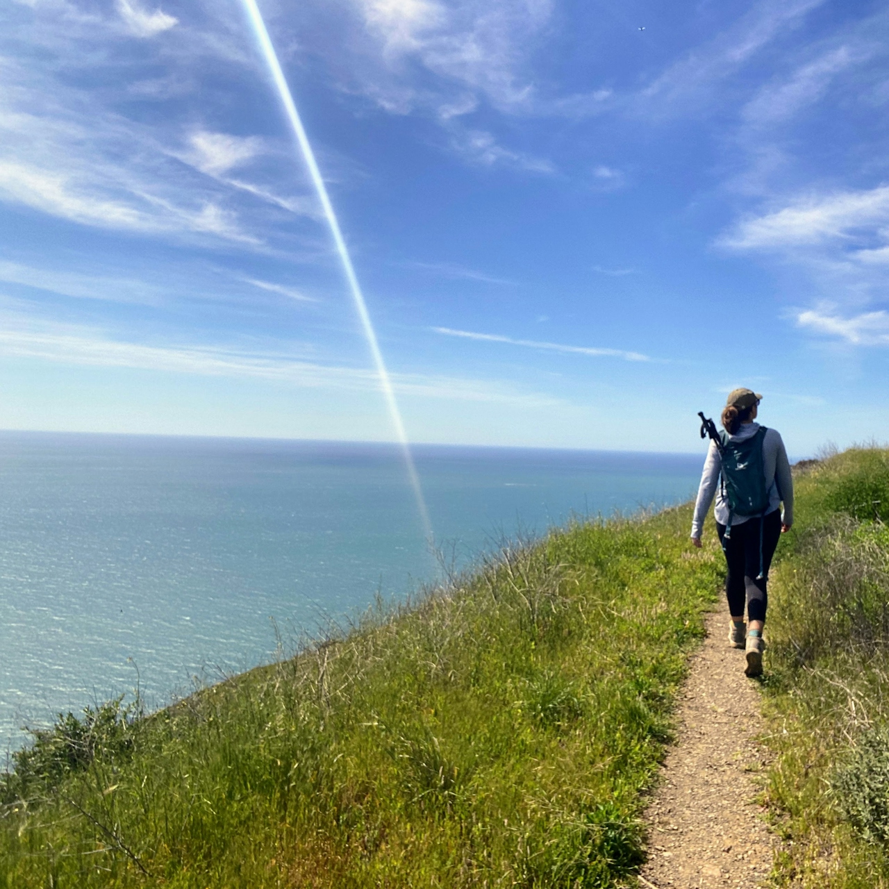
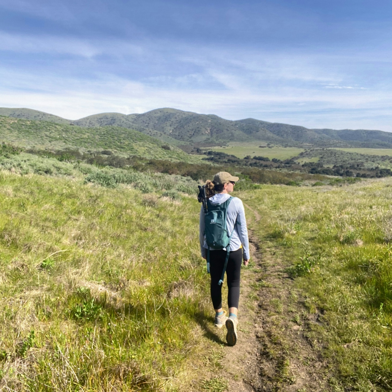
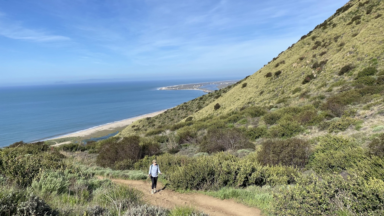
The hike starts off seriously, with a steep and rocky climb three-quarters of a mile up the Chumash Trail (shoes with good tread and trekking poles help).
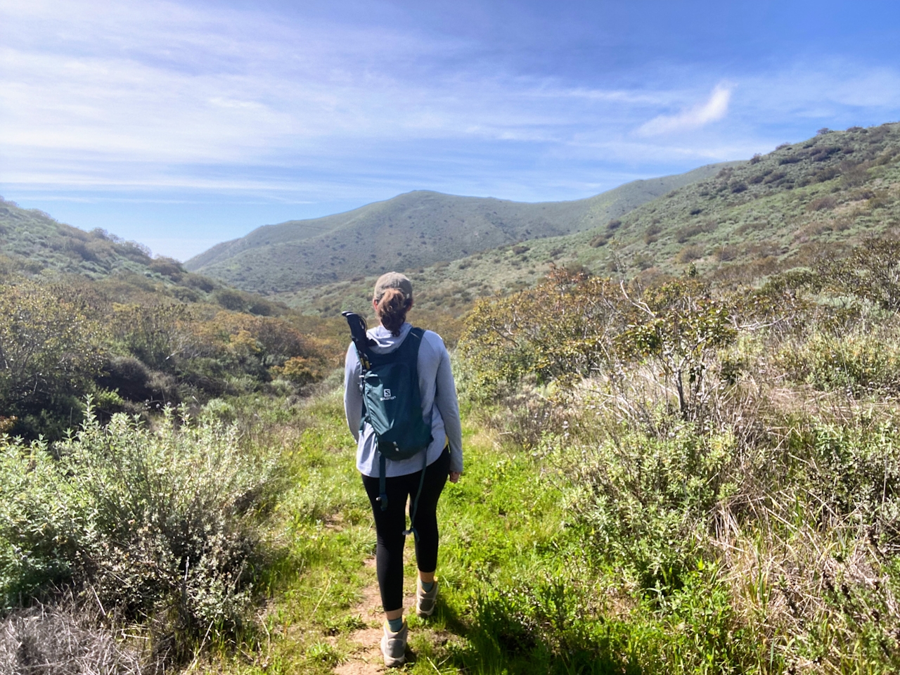
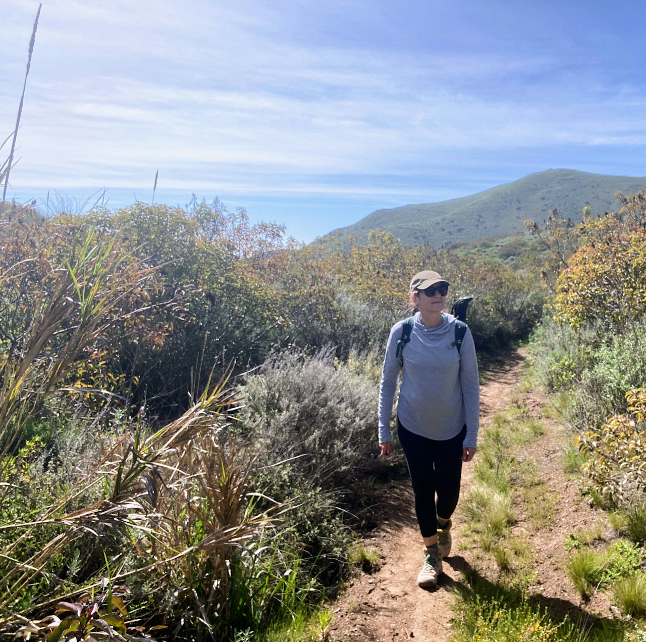
When the trail flattens out (promise, it does!), make a left at the landing and then stay left to head toward the La Jolla Valley, a grassy meadow flanked by the Boney Mountains. After a rainy winter, this area delivers the rare Southern California experience of wandering through a natural green field in serene solitude.
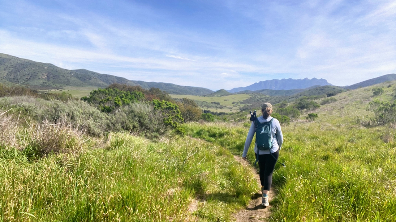
Veer right toward the sign marker for the La Jolla Valley Loop Trail (or for a slightly longer walk, continue straight and turn right at the next intersection). Both ways eventually meet up with the Mugu Peak Trail.
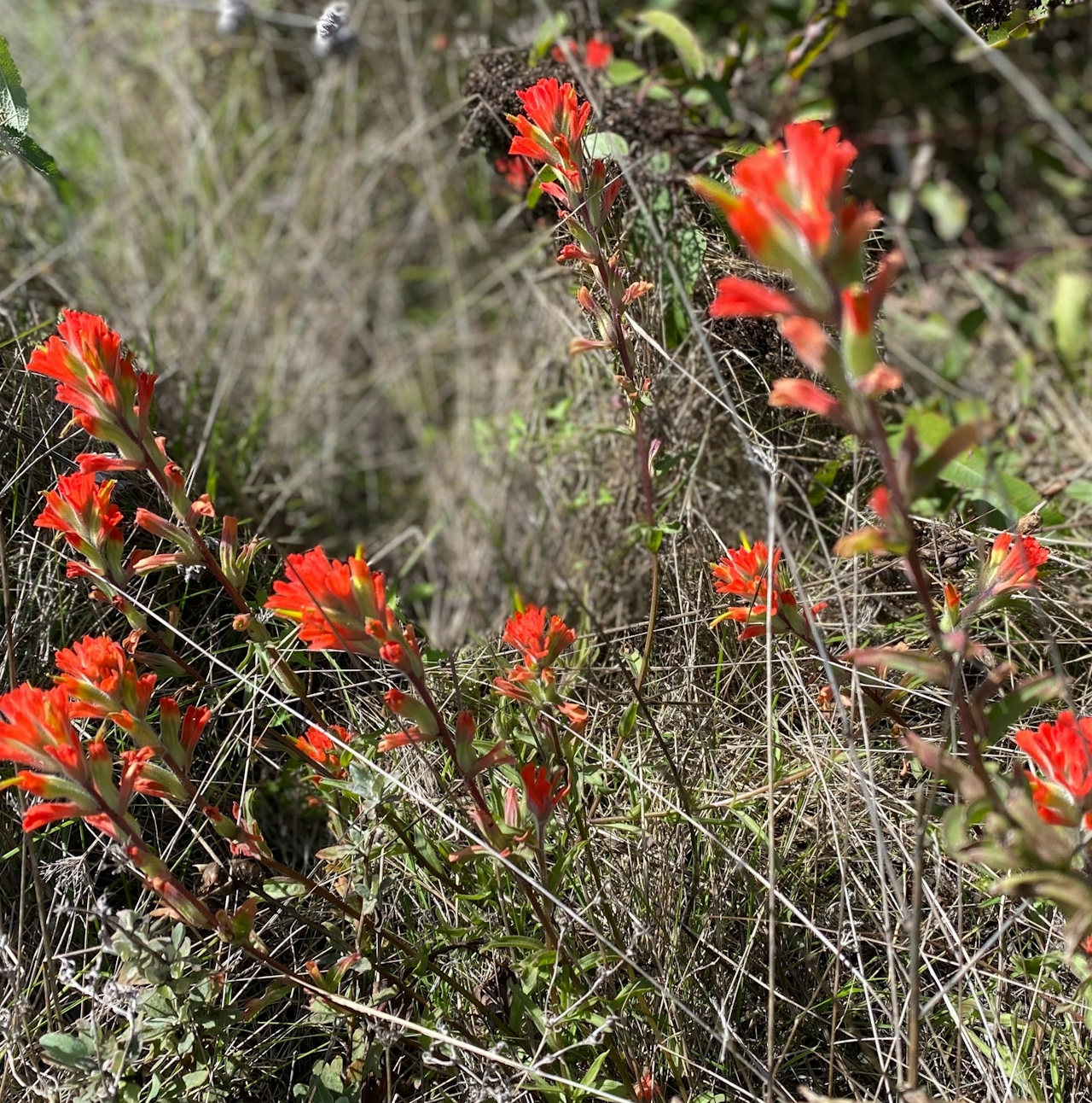

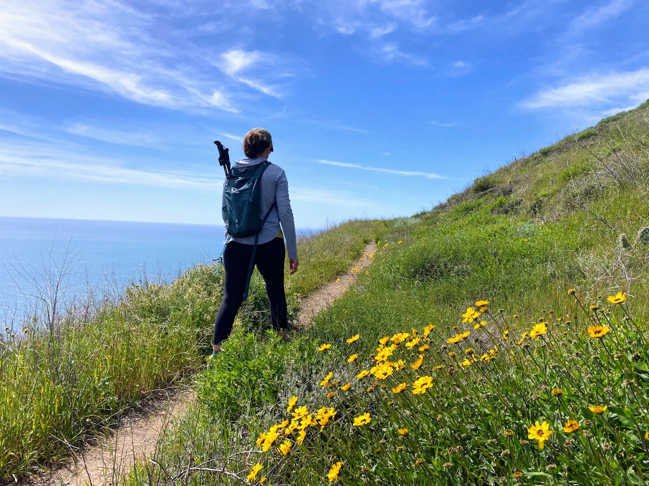
Flecked with prickly pear cactus and seasonal wildflowers, the Mugu Peak Trail rises along the mountain ridge and especially delights when the shimmering Pacific Ocean reveals itself too.
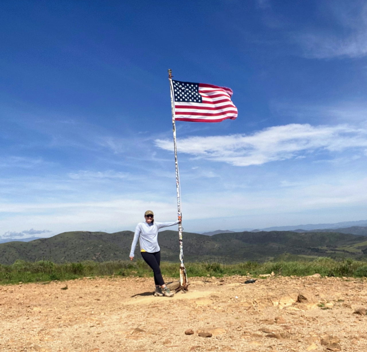
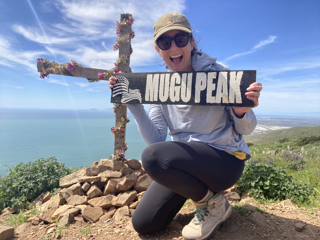
To take this hike to greater heights, find the spur trail to climb the 1,266-foot Mugu Peak. On top, find a celebratory American flag waving in the wind, along with panoramic views of the Boney Mountains, Naval Air Station Point Mugu, and the Channel Islands.
Pick up the trail on the other side of the peak and take your time on the very steep descent back to the trailhead.
NOTE: Check temperatures before heading out and start early to avoid mid-day heat—especially on exposed hikes. Excessive heat can be dangerous for both people and dogs. Rattlesnakes are more active in warmer weather and may be present on trails, so stay aware of your surroundings and watch where you step.
From Santa Monica, drive the Pacific Coast Hwy. north for 35 miles. After passing the La Jolla Canyon campsites, stay on the PCH for 2 more miles and turn right into an unmarked dirt parking area, where you will find the trailhead for the Chumash Trail on the northeastern part of the lot. Additional parking is available on the PCH. No dogs.
Story and photos by Yvonne Pasquini, @yvonne_pasquini







