Feather in Your Cap!

Hike to Eagle Peak on Mount Diablo in the East Bay

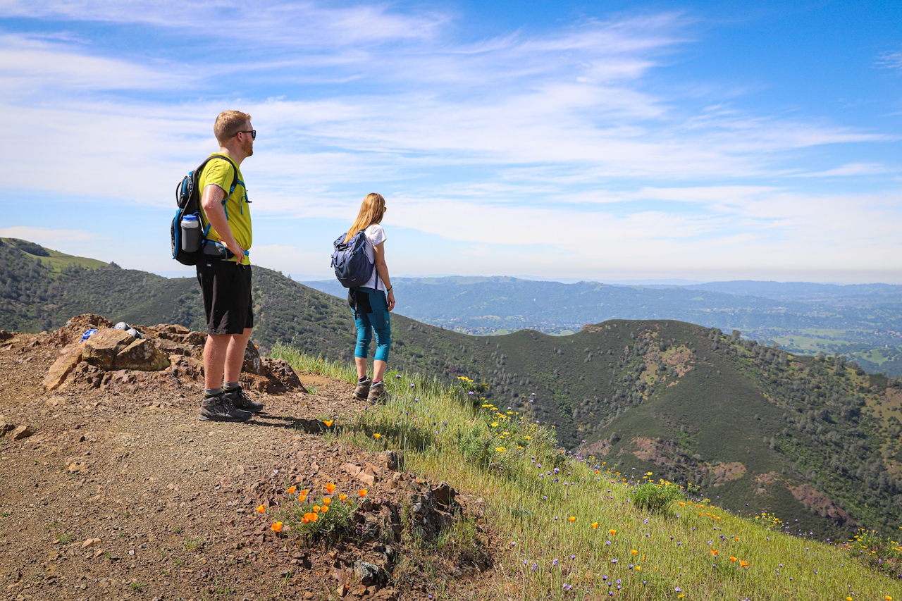
Sure, the main summit of Mount Diablo offers one of the best views in the state, but if you’d rather hike than drive to a summit, lace up your boots for the mountain’s spectacular—and less-traveled—Eagle Peak. At 2,369 feet, it’s not as high as Diablo’s main peak (3,849 feet), but the 3-mile (one-way) journey to it is much more enticing.
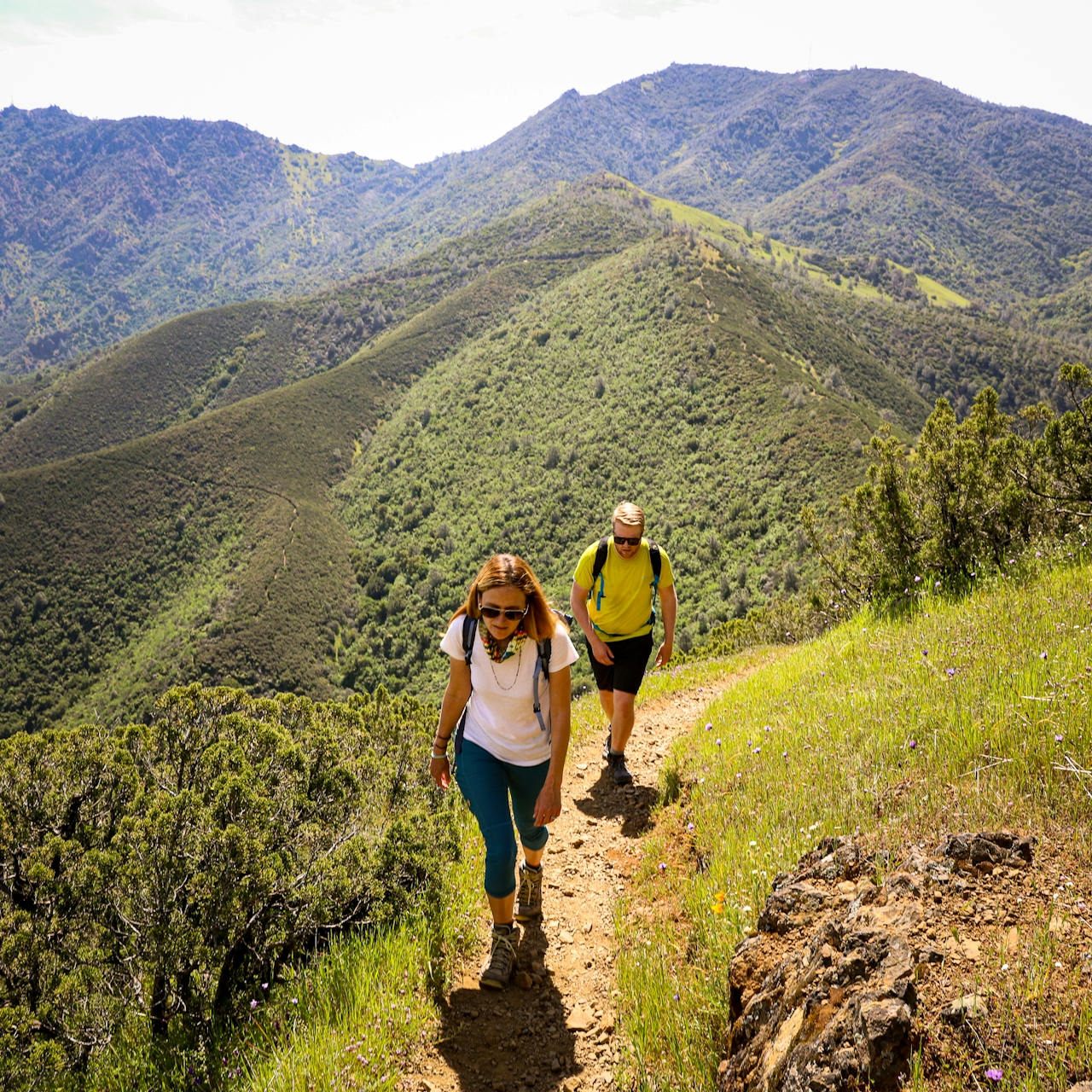
Two hikers walk a hiking trail to Eagle Peak at Mount Diablo State Park

Two hikers are taking in the view of mountains and green rolling hills on a trail at Mount Diablo State Park

Begin on Deer Flat Road leaving from Juniper Campground; Diablo’s largest campground couldn’t be sweeter—set at 3,000 feet, it's got huge views of the Diablo Valley and Bay Area. Follow the trail while enjoying panoramas from San Francisco all the way to the sawtoothed Farallon Islands, 30 miles offshore. Wind down an exposed path and make a right on Meridian Ridge Road. Notice that burn in your thighs? The trail climbs at a fairly steep pitch for a few minutes, but the reward is getting closer.
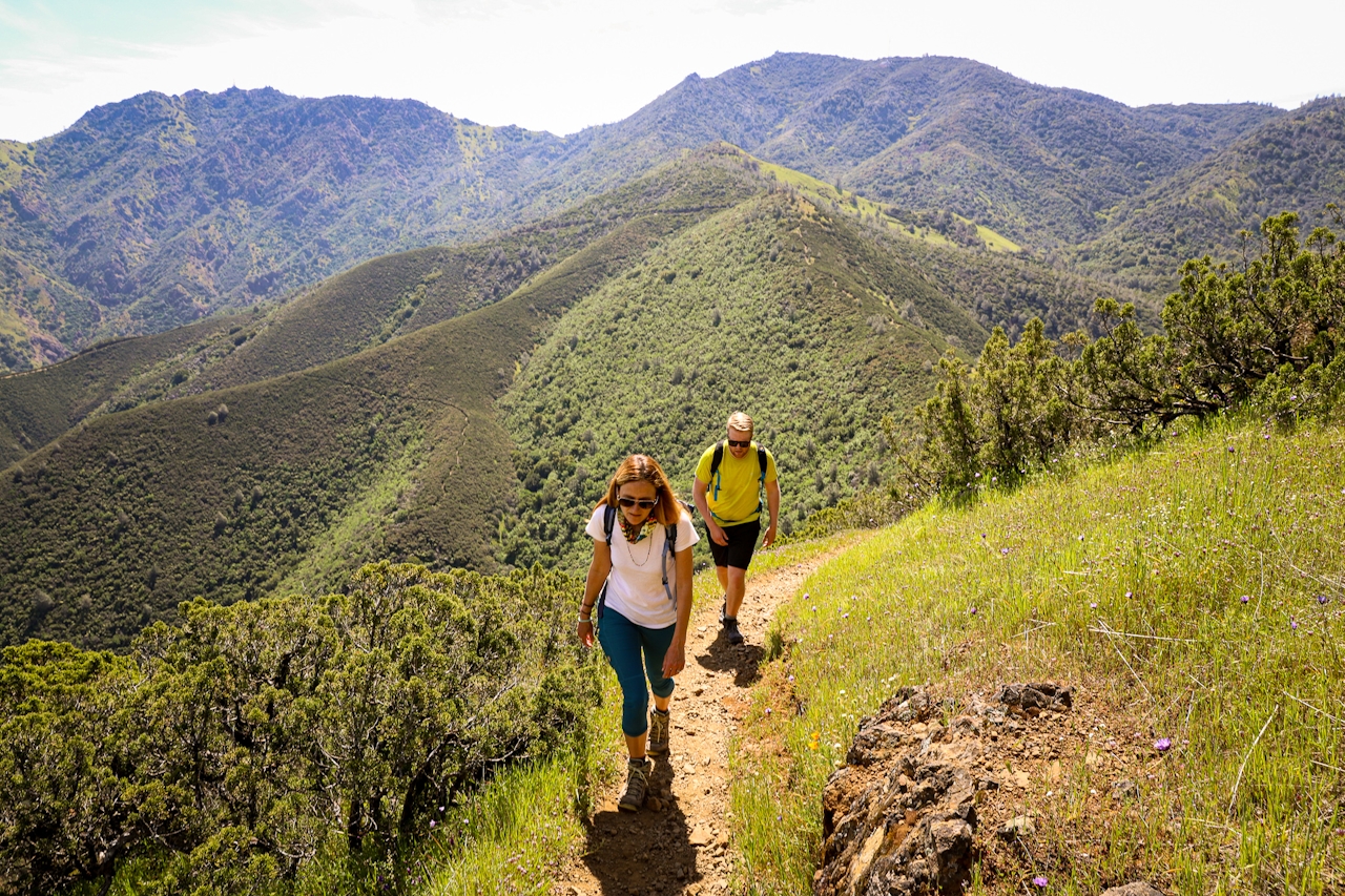
The spur trail leading to Eagle Peak slips, scuttles, and scrambles across narrow Bald Ridge—a knife’s-edge thriller with drop-offs on either side (don’t worry, it’s very doable; just don’t wear flip-flops). This adventurous and fun part of the hike quickly reaches the summit with views bursting in all directions: the Delta, Suisun Bay, and Mount Diablo’s North Peak. Take it in as you take a breather. The Eagle has landed.
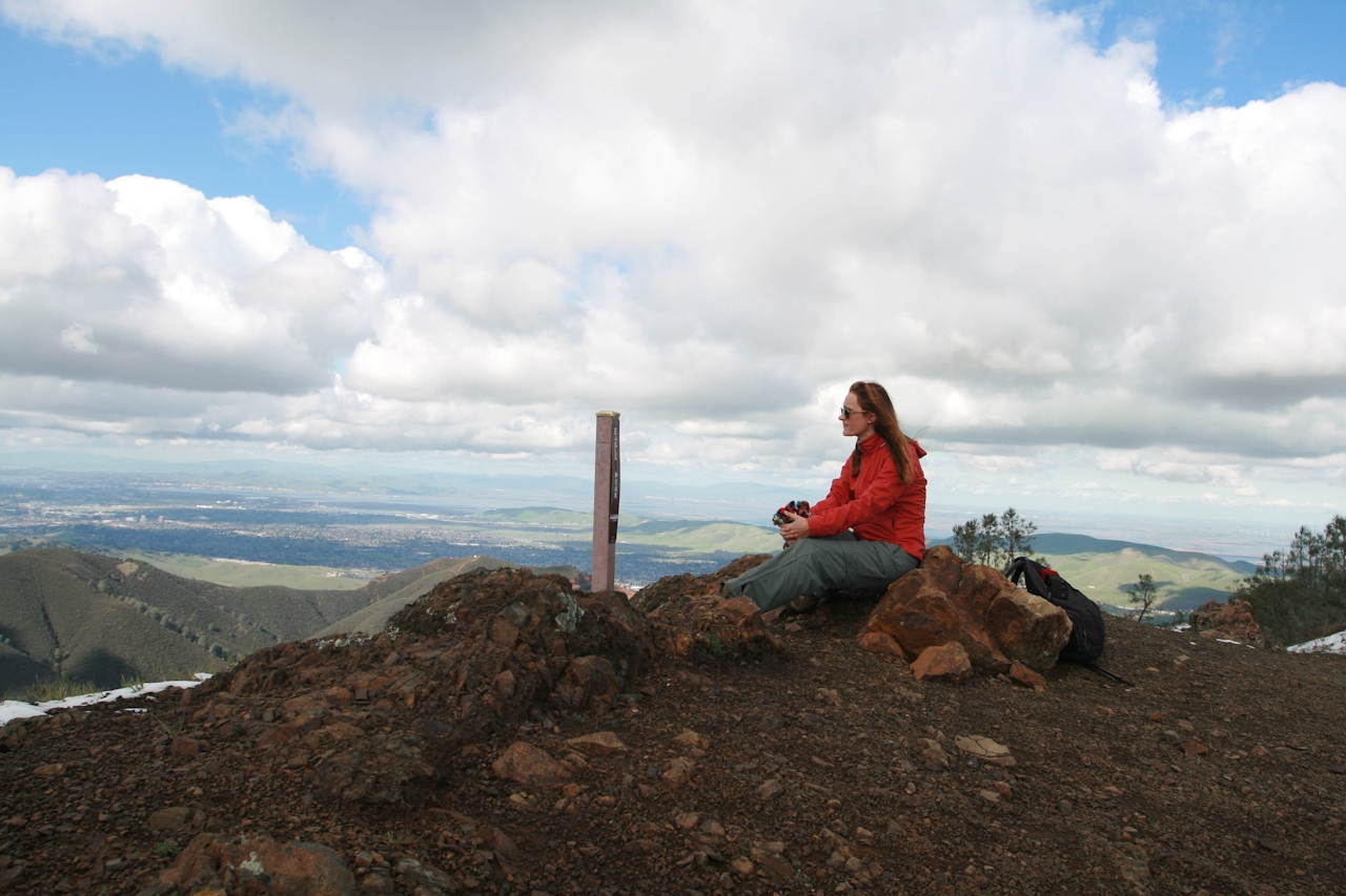
A woman sits the summit of Eagle Peak in Mount Diablo State Park

Park at Juniper Campground and start hiking northwest on Deer Flat Rd. After a half-mile, bear right at the first junction to stay on Deer Flat Rd. After another mile, you’ll reach the Deer Flat area; make a right onto Meridian Ridge Rd. and hike 0.75 mile. Turn left onto the signed spur trail for Eagle Peak; it’s another 0.75 mile to the summit. Return the way you came. No dogs on trails, but Juniper Campground is dog-friendly!

Trending Stories NorCal

View all Stories
  1. Walk on the Wise Side

    A wise man once said, “Walk it off.” And San Francisco has just the place for a colorful walk via a 2.7-mile loop along Philosopher’s Way Trail in the 318-acre John McLaren Park (S

    View
  2. Hiker on the SCA trail in Marin Headlands with view of the Golden Gate Bridge

    Headlands Over Heels

    People come from all over the world to get a glimpse of the Golden Gate Bridge. Get a dramatic and novel view of the bridge without all the people on this moderate 6-mile hike in the Marin Headlands.

    View
  3. woman hiking Mt Tam east peak
    Sponsored

    Marquee Marin

    There may be no better place to find the best in coastal outdoors than the Marin Headlands. Bluff-side hiking trails, beautiful sandy beaches, big Pacific views, an iconic lighthouse, and unique lore in the area’s historic batteries are all part of the action here.

    View

Trending Stories SoCal

View all Stories
  1. Woman hiking the San Onofre Bluffs Loop Trail to San Onofre State Beach in San Diego County

    Bluffing Good!

    Lovely coastline, beautiful beaches, unique geological history, and picturesque sandstone cliffs with limited foot traffic in San Diego County? Head to San Onofre State Beach and the 5-mile San Onofre Bluffs Loop Trail.

    View
  2. Can We Get a Whoop Whoop!

    City, mountain, and ocean views all in one hike? Whoop whoop! It’s no surprise the the Kenter Fire Road and Whoop-de-Doos Trail (a combo of fire road and singletrack) is a favorite among local mountain bikers and hikers alike.

    View
  3. The Big Chill

    In LA, finding a place to chill can be the ultimate flex. So flex, in Franklin Canyon! This unexpected oasis has plenty of shade, cool lake breezes, and ample picnicking spots. Enjoy it on an easy-going 1-mile stroll along its reservoir and duck pond.

    View