Franklin High
Hike the Blinderman Trail in Franklin Canyon Los Angeles


Visiting Franklin Canyon’s peaceful reservoir is a no brainer. But once you’ve covered that, then what? Our answer: Blinderman. This lesser-known trail is the perfect add-on for exploring the wild beauty of upper Franklin Canyon, delivering unexpected scenic views that will finish your park visit on a high note.
For this 2-mile (round-trip) hike, first follow the reservoir walk outlined here. At the staircase, make a right on the paved road (*ignoring the trails directly across). At the next inlet on the left, just a few steps down, find the unmarked Blinderman Trail straight ahead.
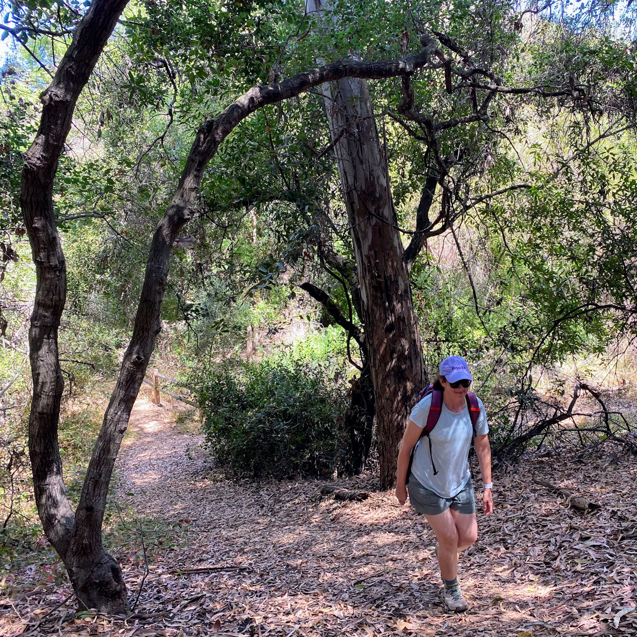
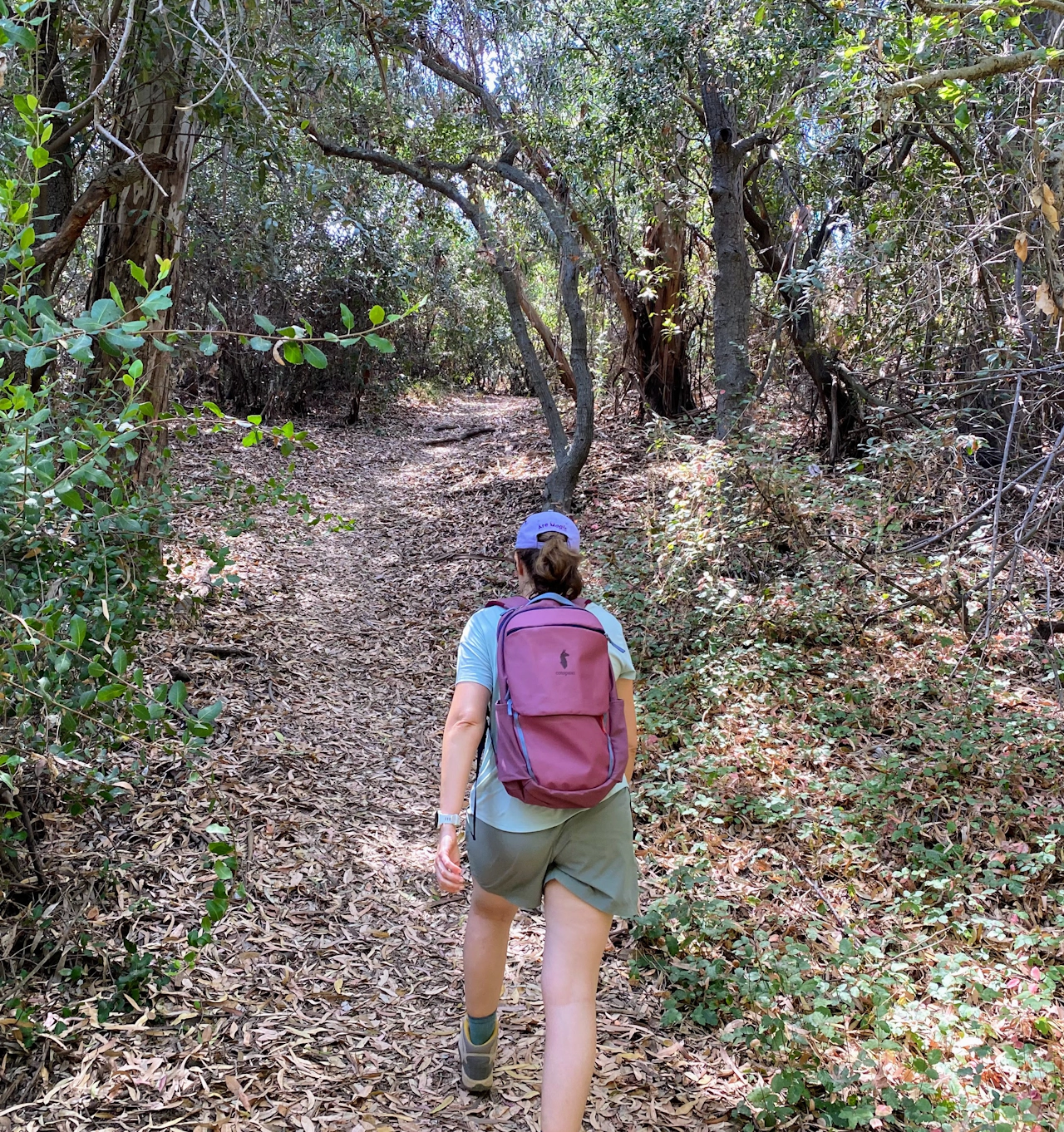
The leaf-strewn, slightly overgrown trail winds through oak woodlands with thick branches, offering plenty of shade and solitude (Don’t be surprised if you’re the only one walking here.)
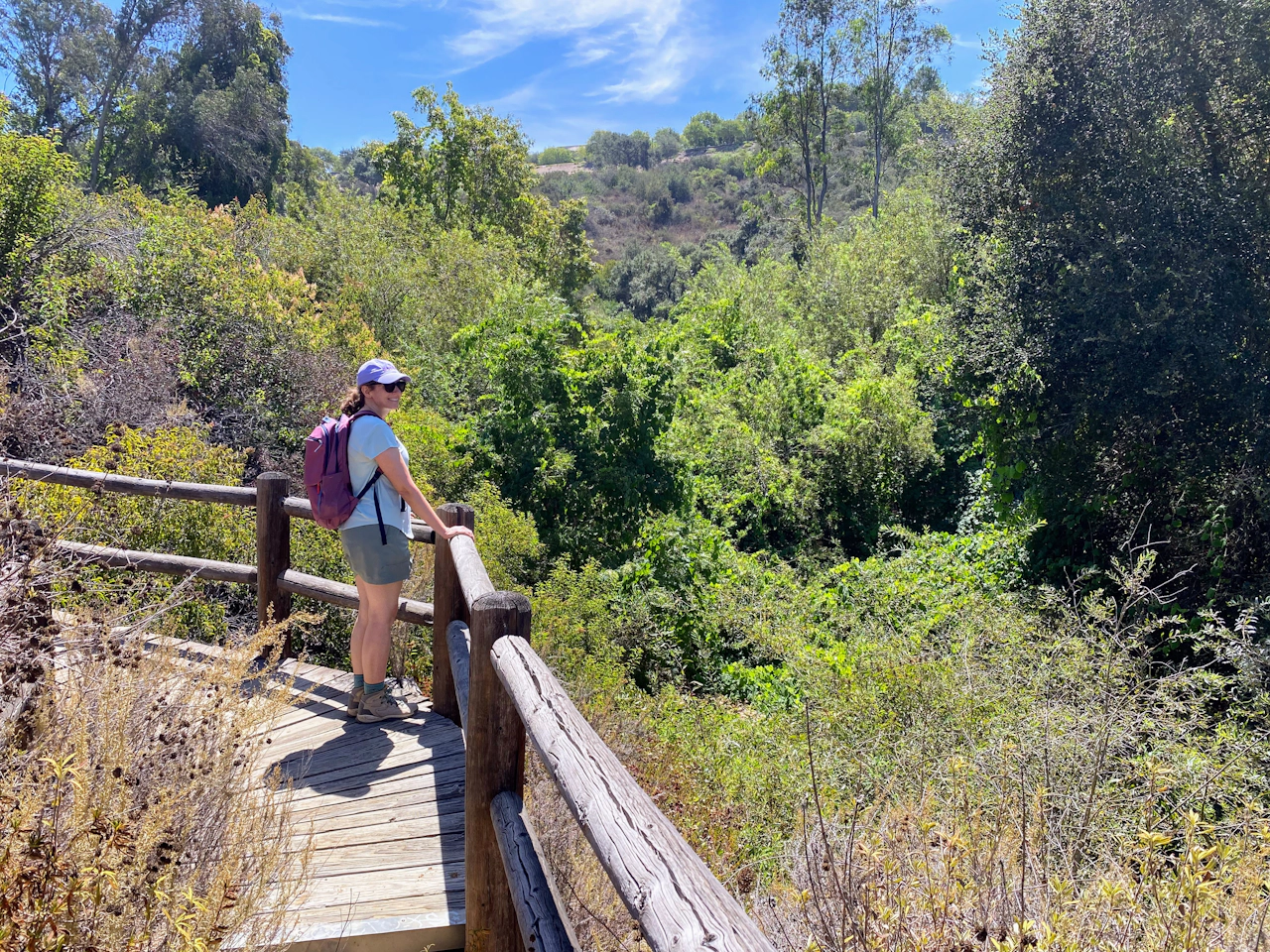
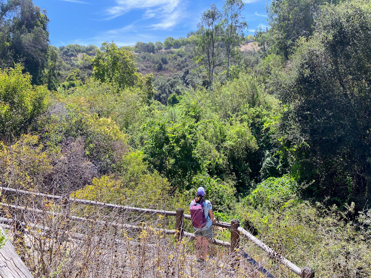
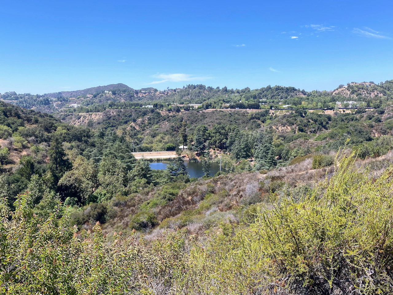
Stay left at the two junctures. Eventually the trail opens up and rises along the canyon edge until you reach a rustic, fenced overlook that feels straight out of a fairytale. The vista of the interior canyon is unexpectedly green and verdant, even in late summer.
The trail continues climbing, steeply for a stretch, until it reaches a second overlook with a bench. From this highest point, you’ll get a birds-eye perspective of the reservoir and the surrounding parklands you just walked through.
After enjoying the lofty view, continue down the trail. Take a right at the T-intersection and make your way towards the amphitheater and adjoining parking lot.
Find directions to the Upper Franklyn Canyon main parking area and trailhead here. The trail is overgrown at places so wearing pants is recommended. Drive carefully! Stop signs within the park are photo-enforced. Make a complete stop or risk getting a high-priced ticket in the mail. Dog friendly.
Story and photos by Yvonne Pasquini







