Strolling Stornetta
Hike Point Arena-Stornetta Public Lands

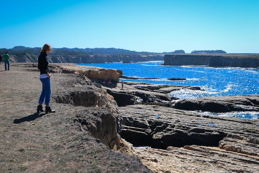
Big Sur has some competition. Located along the rugged Mendocino County coastline, the 1,665-acre Point Arena-Stornetta Public Lands were designated as part of the California Coastal National Monument by President Barack Obama. It’s a spectacular place to meander for miles along bluffs overlooking small coves, sea caves, dunes, and clusters of offshore islands.


With 1,665 acres of protected land, there's room to roam. It's also a prime whale-watching spot during migratory seasons. Starting from the official trailhead, the bluff top is breezy as you follow an informal trail with posts, much of it hugging close to the cliffs edging the ocean (while the foot-worn trail is safe, beware of unstable earth along the bluff's edge). Seal sightings are practically guaranteed, and osprey, peregrine falcons, and snowy plover are a few of the feathered friends frequenting the area in fall. Stornetta is made even more picturesque by the looming presence of the historic Point Arena Lighthouse, the tallest lighthouse on the West Coast, sitting on a spit of land jutting two miles into the ocean.
The Point Arena-Stornetta Public Lands are 16 miles north of Gualala on Hwy. 1 (map). Follow the signs to Point Arena Lighthouse and park along Lighthouse Rd. about half-way to the lighthouse. You'll see a turnout and trailhead. Dog-friendly!


