Taking the Stage: Tyler Ranch
Hike New Trails at Pleasanton Ridge Regional Park

{NOTE MARCH 2024: Due to rains please check ahead for road or trail closures/hazards before visiting Tyler Ranch Staging Area, and exercise good judgment and caution.}
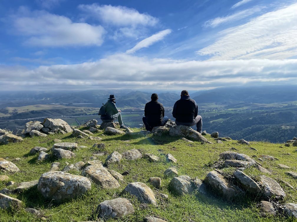
The Bay Area has some new trails to explore. Hike the recently opened Tyler Ranch Staging Area in Pleasanton Ridge Regional Park, with 18 miles of new trails. This 6.5-mile loop up Sunol Peak is a challenge and rewards with exceptional views of seasonal iridescent hills.


From the parking lot, hike up the paved path, then turn left onto Sunol Ridge Trail. The climb is steep, and the Niles Canyon Overlook is a fantastic spot to take a breather. Soak up the surrounding green hills—reminiscent of the Emerald Isle—before continuing up the trail.

Stay on Sunol Ridge Trail for the next 1.2 miles. This stretch of grassland is used for cattle grazing, and lucky photographers can snap a shot of cows silhouetted against sunny Silicon Valley to the southwest.


Pass through the cattle gate. At the intersection with Woodside Spring Trail, keep left to stay on Sunol Ridge Trail. Up ahead is Sunol Peak, the highest summit in the park at 2,091 feet. The antenna-covered mountaintop is private property, but hikers can turn right onto Woodside Spring Trail to do a full loop around the peak. This shaded stretch is lined with moss-covered trees and boulders, with glimpses of Livermore Valley visible beyond the forest.


At the intersection with Sunol Ridge Trail, turn left and retrace the route back to the parking lot.
The Tyler Ranch Staging Area is located at 12565 Foothill Rd. in Sunol. Map. Pleasanton Ridge’s winter hours are 8 a.m. to 5 p.m. Bike-friendly. Dog-friendly.
Story and photos by Heather Werner, @heath.er.wer.ner


