Gameface: Ladyface!
Hike Ladyface Peak in Agoura Hills Then Enjoy Ladyface Brewery


Sometimes a truly cool basecamp is all you need to spur you to new heights. Enter Tavern Tomoko & Ladyface Brewery in Agoura Hills, set at the foot of Ladyface Peak’s rugged 2,030-foot summit. Before the beer, get an early start to beat the heat and bag the peak via a challenging 2.25-mile (round-trip) hike up the spine of a ridge. You’ll gain 1,225-feet on a thigh-burning ascent that’s paired with panoramas. At a steep section near the peak you’ll have to use your hands to climb up the rock face. Spires of dark volcanic rock crown the top, where views of Agoura Hills and Westlake are cradled by the summits of the Santa Monica Mountains—including saddle peak.
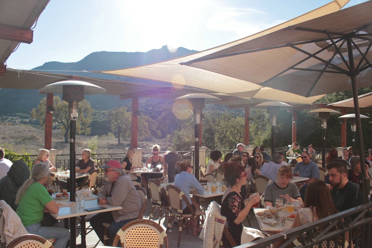
It’s all downhill to the basecamp reward. Tavern Tomoko and Ladyface Brewery (29281 Agoura Road, Agoura Hills) is the Conejo Valley’s first microbrewery. Kick back on the patio and look up at the mountain you just climbed while sipping on an Anime Japanese Pale Ale or a Ladyface IPA. Pair it with the menu's contemporary Japanese small plates and American gastropub food.
TIP: This is an exposed hike and is not good or safe to do on an extremely hot day or mid-day when heat is at its highest.
Take the 101 Freeway to exit 36 in Agoura Hills and drive 1 mile south on Kanan Rd. (passing Tavern Tomoko and Ladyface Brewery). Park along the right side of the road near mile marker 2.47 where you will find an unmarked dirt road heading up the mountain (map). Hike up the road for 0.25 mile and turn right up a dirt singletrack just past a junction with another jeep road. Head up the ridge toward a false summit visible from the trailhead. Continue up a steep climb that requires you to use your hands, .75 mile from the start. Cross a couple of rocky points to reach the summit. Watch for loose dirt on the way down. There’s nothing about dogs posted on this trail, but it would be a very difficult climb for many dogs—not recommended. Ladyface Alehouse is open from 11:30 a.m. to 10:00 p.m. Sunday through Tuesday and 11:30 a.m. to 11:30 p.m. Wednesday through Saturday. No dogs.







