Tram Ticket to Hiker's Paradise

Hike from the top of Palm Springs Aerial Tramway

Palm Springs Aerial Tramway

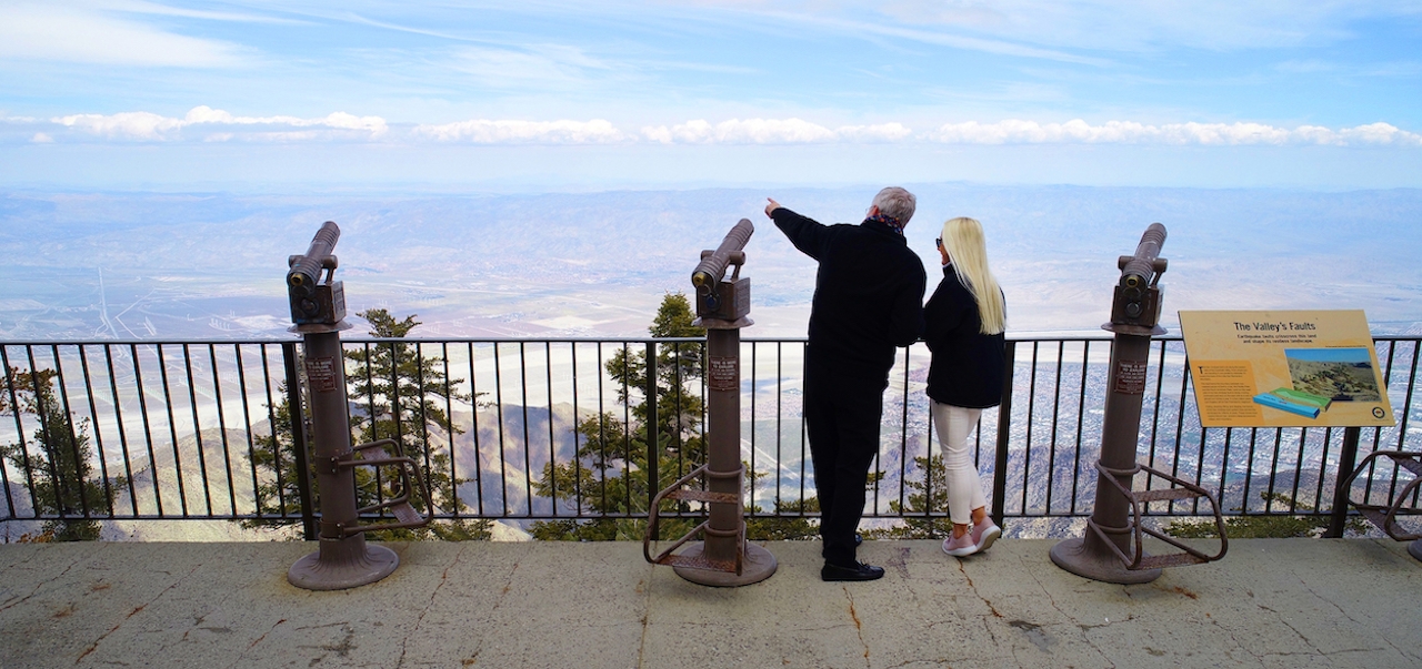
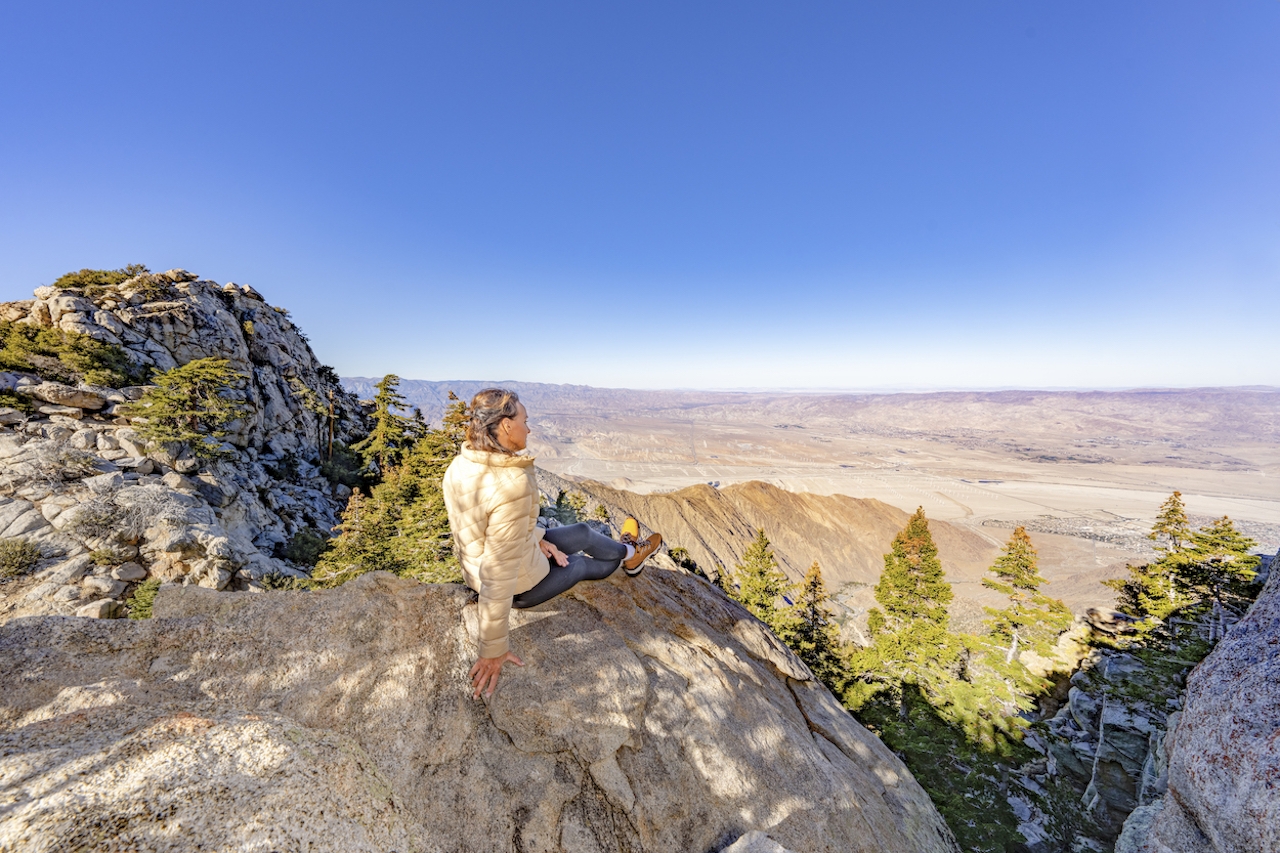
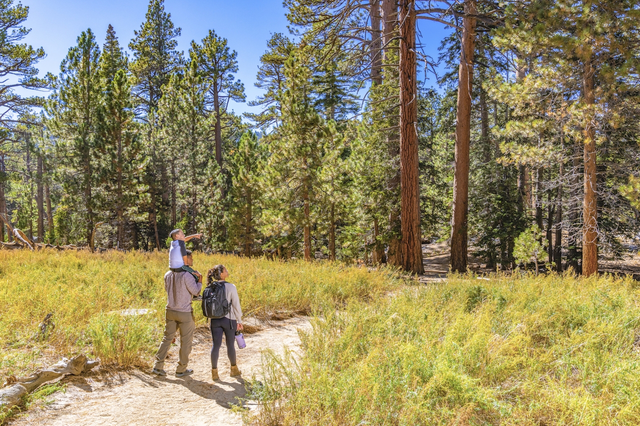
Ready to elevate your next outdoor adventure? The Palm Springs Aerial Tramway is your ticket to Mount Jacinto State Park and over 50 miles of scenic hiking trails. Thanks to winter’s riches, the park is a dreamscape of lush greenery, flowing streams, and wildflowers. The 1.5-mile Desert View Trail is short, and sweet on viewpoints—five of them! Or take the 5.5-mile (one-way) trek to San Jacinto Peak, the second highest point in Southern California. Afterwards, relax and refuel at one of the high-elevation restaurants—from fine dining at lunch and sunset, to casual café-style fare all day. Can’t top those views!
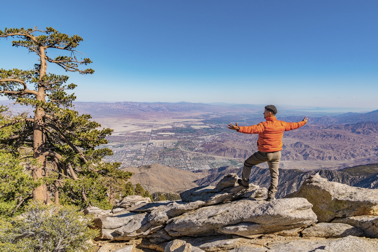
Board the world’s largest rotating tramcar at the Valley Station (elevation 2,643 feet) and within ten minutes, you are whisked to the Mountain Station and Mount San Jacinto State Park (elevation 8,516 feet).
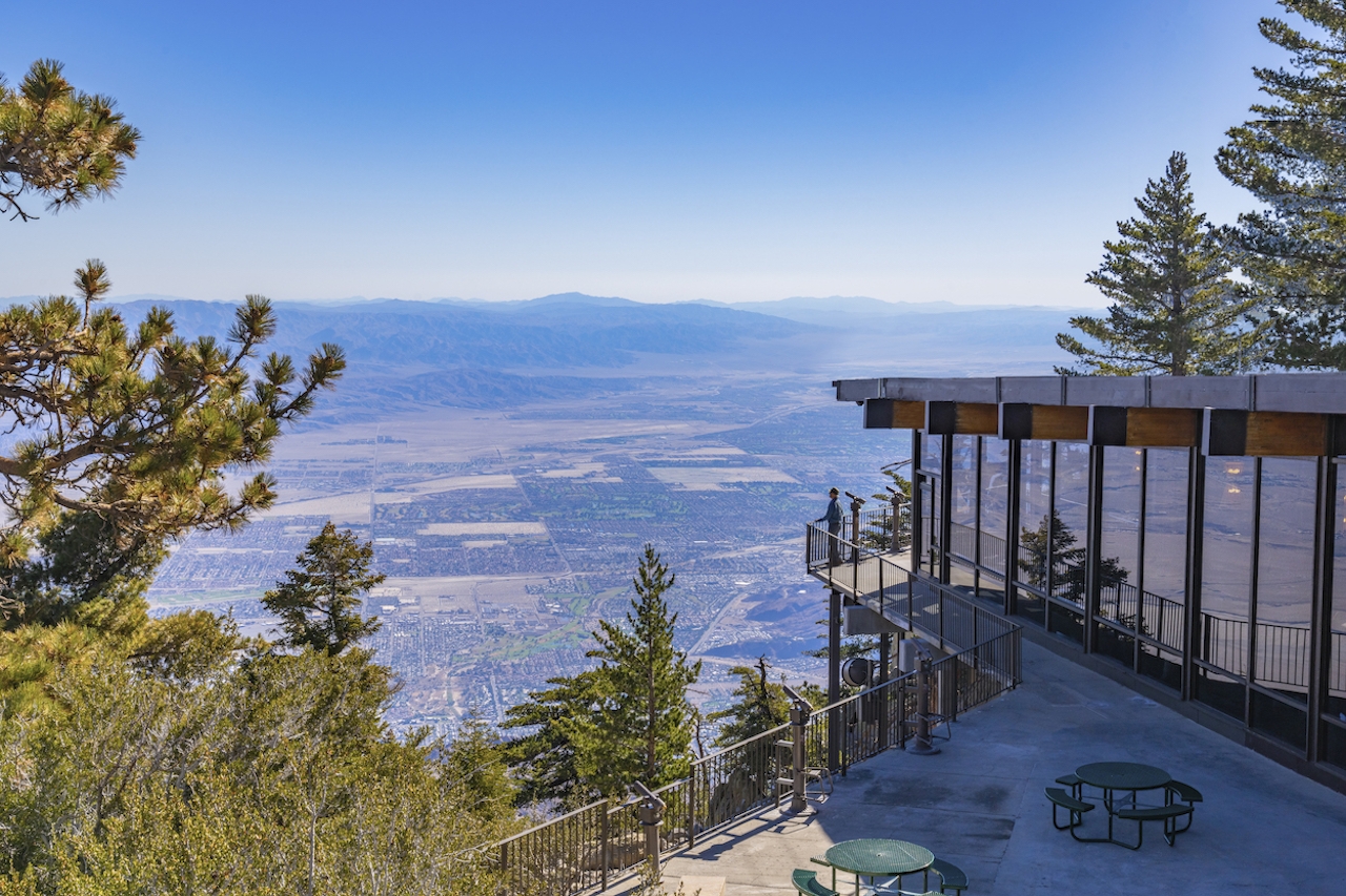

Enroute, your palms-to-pines tram passes through five climate zones along the sheer cliffs of Chino Canyon, with wide-open views of Palm Springs and well beyond. With temperatures dropping by as much as 30 to 40 degrees from the desert floor, hiking conditions are ideal.

Start summer off on the highest note: Get your tickets soon because the Palm Springs Aerial Tramway closes for the month August!

Trending Stories NorCal

View all Stories
  1. Walk on the Wise Side

    A wise man once said, “Walk it off.” And San Francisco has just the place for a colorful walk via a 2.7-mile loop along Philosopher’s Way Trail in the 318-acre John McLaren Park (S

    View
  2. Hiker on the SCA trail in Marin Headlands with view of the Golden Gate Bridge

    Headlands Over Heels

    People come from all over the world to get a glimpse of the Golden Gate Bridge. Get a dramatic and novel view of the bridge without all the people on this moderate 6-mile hike in the Marin Headlands.

    View
  3. woman hiking Mt Tam east peak
    Sponsored

    Marquee Marin

    There may be no better place to find the best in coastal outdoors than the Marin Headlands. Bluff-side hiking trails, beautiful sandy beaches, big Pacific views, an iconic lighthouse, and unique lore in the area’s historic batteries are all part of the action here.

    View

Trending Stories SoCal

View all Stories
  1. Woman hiking the San Onofre Bluffs Loop Trail to San Onofre State Beach in San Diego County

    Bluffing Good!

    Lovely coastline, beautiful beaches, unique geological history, and picturesque sandstone cliffs with limited foot traffic in San Diego County? Head to San Onofre State Beach and the 5-mile San Onofre Bluffs Loop Trail.

    View
  2. Can We Get a Whoop Whoop!

    City, mountain, and ocean views all in one hike? Whoop whoop! It’s no surprise the the Kenter Fire Road and Whoop-de-Doos Trail (a combo of fire road and singletrack) is a favorite among local mountain bikers and hikers alike.

    View
  3. The Big Chill

    In LA, finding a place to chill can be the ultimate flex. So flex, in Franklin Canyon! This unexpected oasis has plenty of shade, cool lake breezes, and ample picnicking spots. Enjoy it on an easy-going 1-mile stroll along its reservoir and duck pond.

    View