Serenity in El Sereno

Hike or bike a new section of the Bay Area Ridge Trail in El Sereno Open Space Preserve

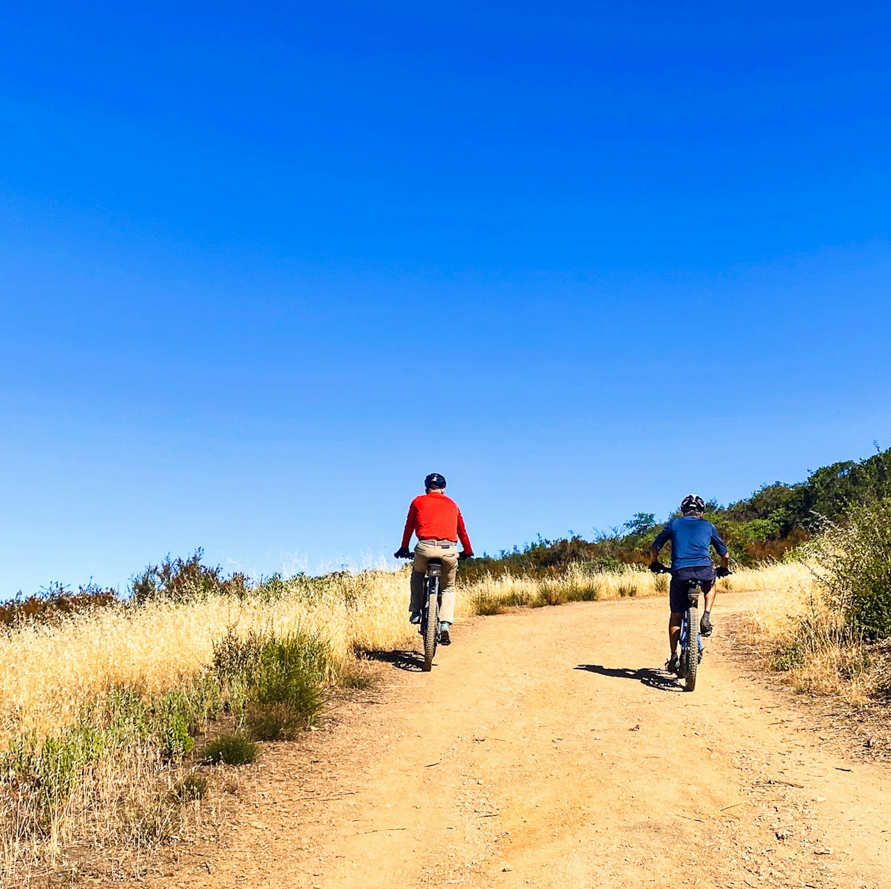
Bikers checking out the view of the reservoir from a bench in El Sereno Open Space Preserve on the Bay Area Ridge Trail

This one’s for solitude seekers. The El Sereno Open Space Preserve leg of the Bay Area Ridge Trail is a new 7-mile (out-and-back) adventure for hikers and cyclists, winding through the chaparral with 1,000 feet of elevation gain and gorgeous views as payoff.

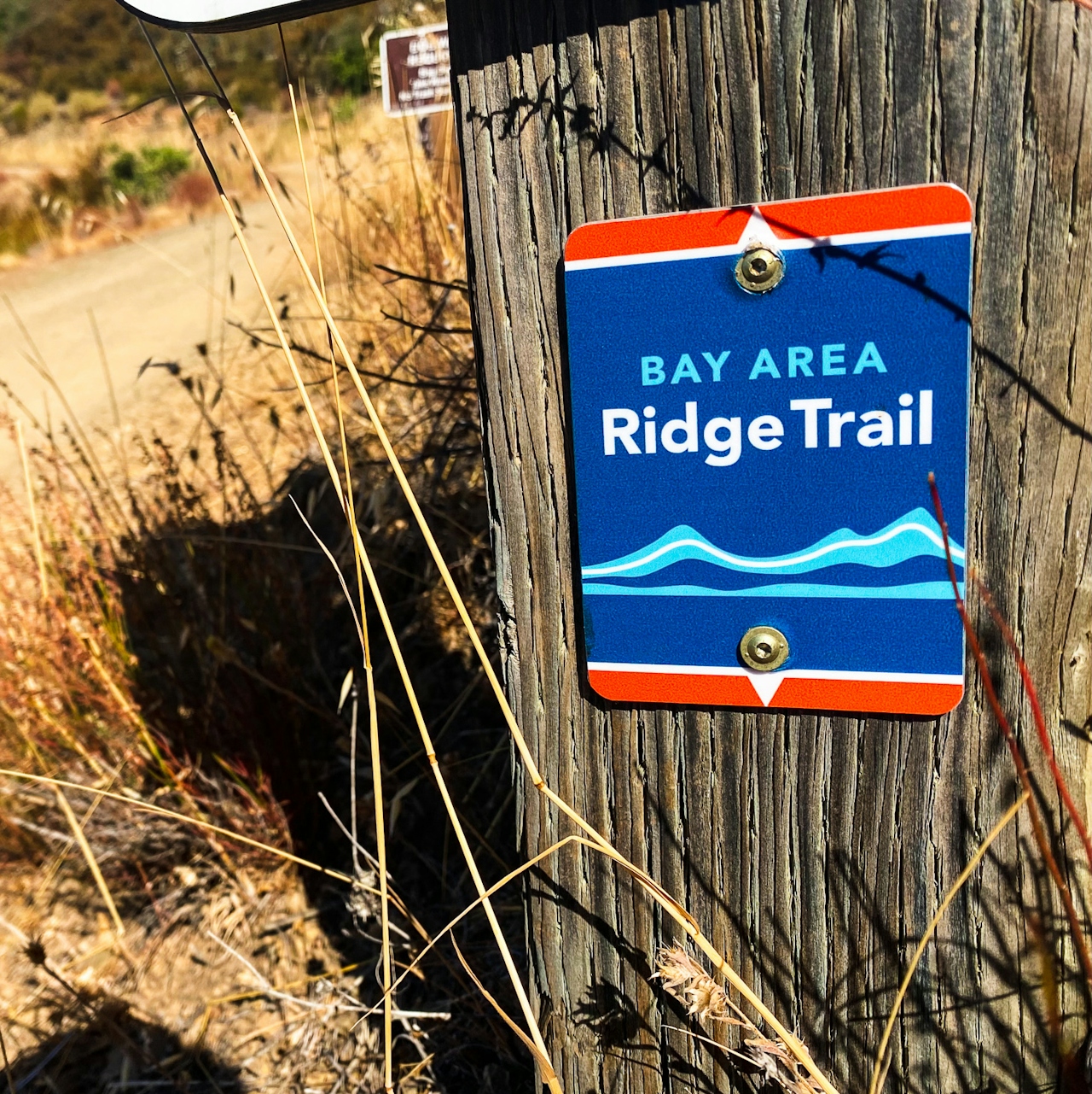
Sign for the Bay Area Ridge Trail in El Sereno Open Space Preserve in the South Bay

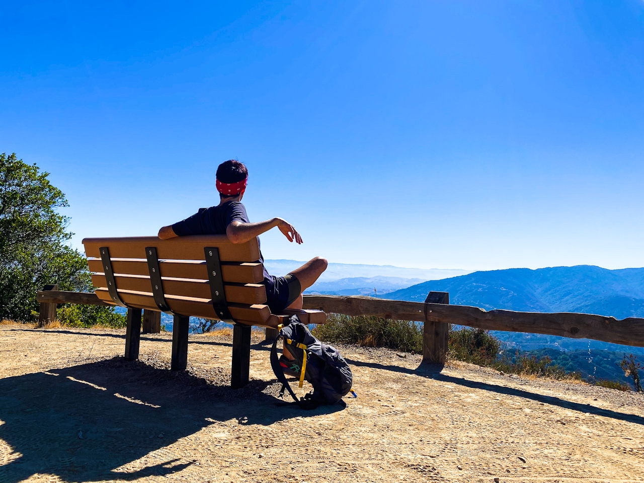
Person taking a break to take in the view at El Sereno Open Space Preserve

Start at Montevina Road Trailhead. This is an exposed trail so get an early start and be mindful of hot days and bring water and sun protection. At the intersection with Aquinas Trail, turn right. After 0.4 mile of climbing, the trail levels off to reveal the broad, flat summit of El Sereno—one of the peaks on the Silicon Valley skyline. Stop and take a breather at the lookout bench, where Lexington Reservoir and St. Joseph’s Hill are visible in the distance.
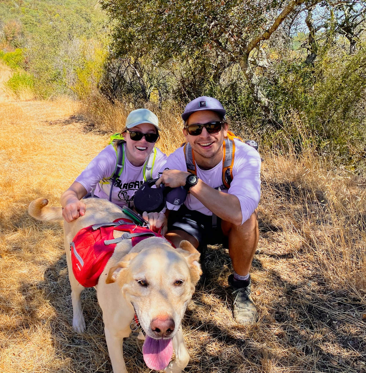
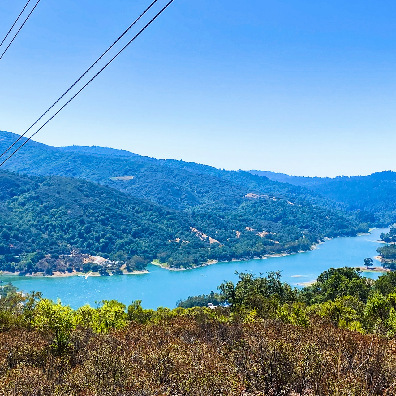
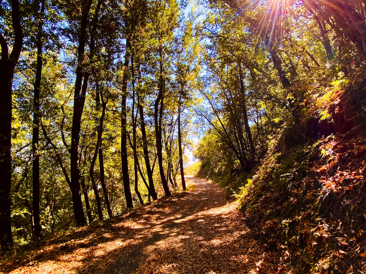
Past the lookout bench, the trail descends sharply toward the valley. At the intersection with Serenity Trail, bear right. Here, the dirt path is lined with a colorful native plant: California coffeeberry. The purplish-black berries contain pits that can be ground into a “coffee” (early gold rush explorers often used it when coffee supplies ran low).
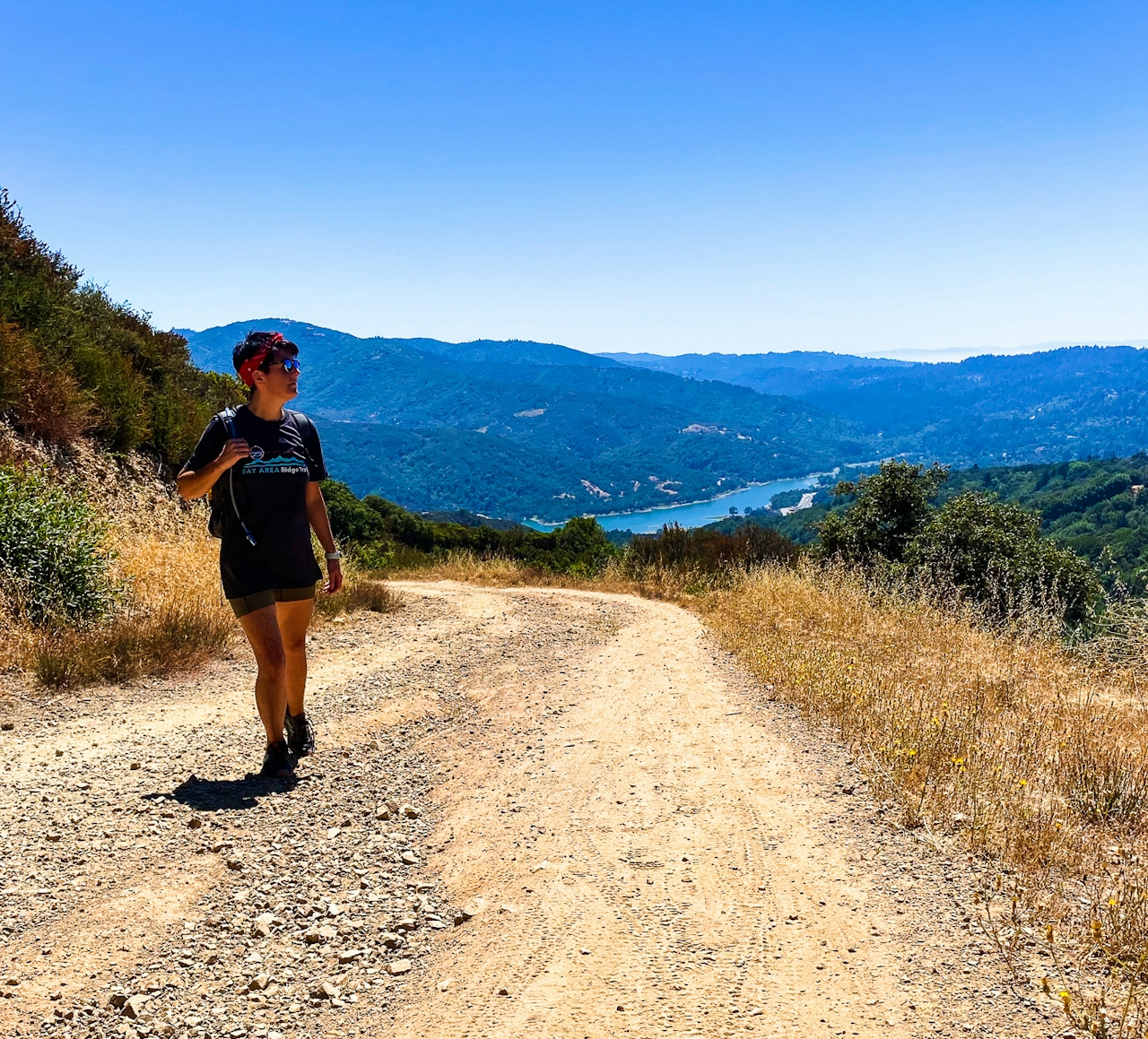
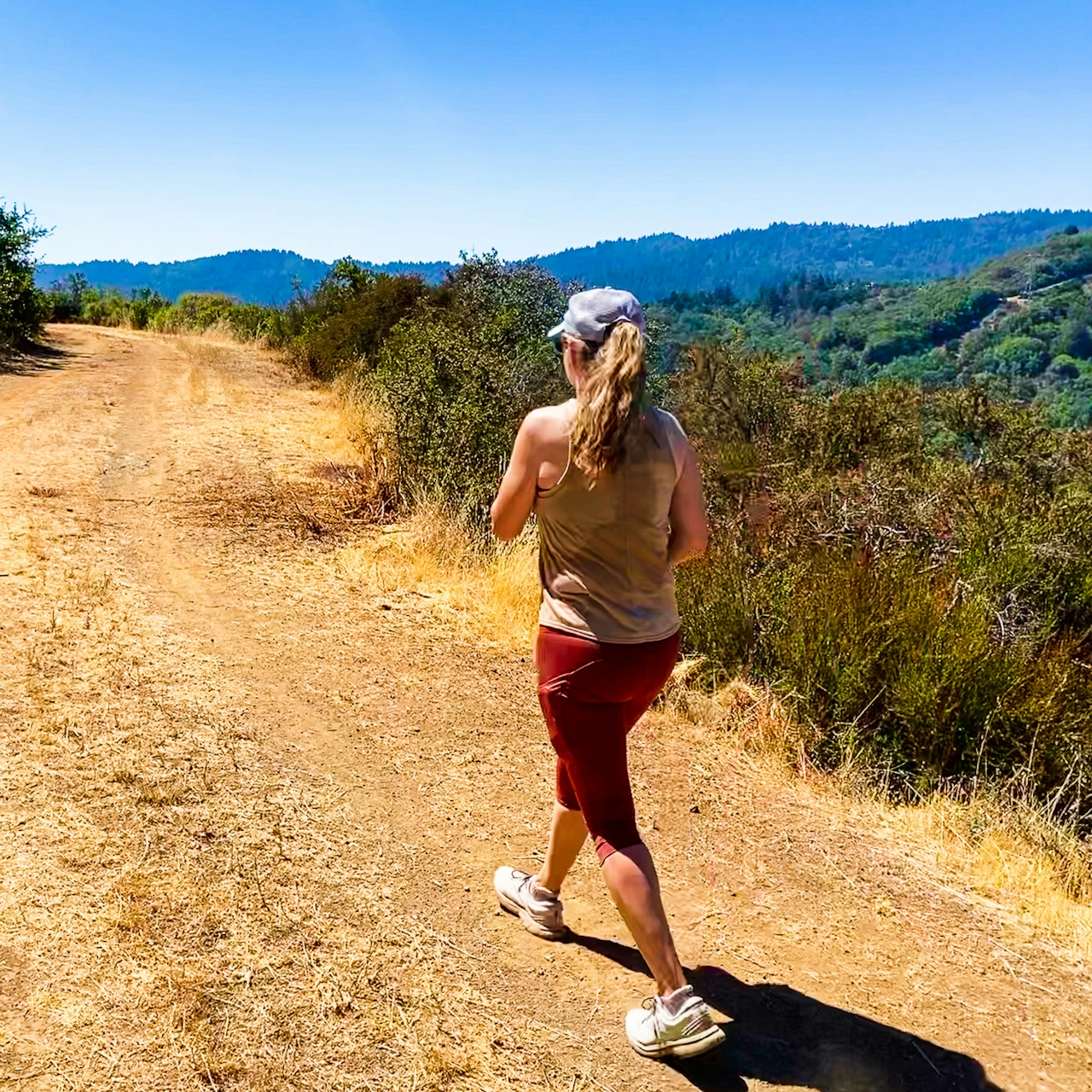
After 1.3 miles, Serenity Trail ends at a vista point. Soak up the views of the deep blue Lexington Reservoir, dwarfed by Mount Umunhum and Loma Prieta on the horizon. Return the way you came.
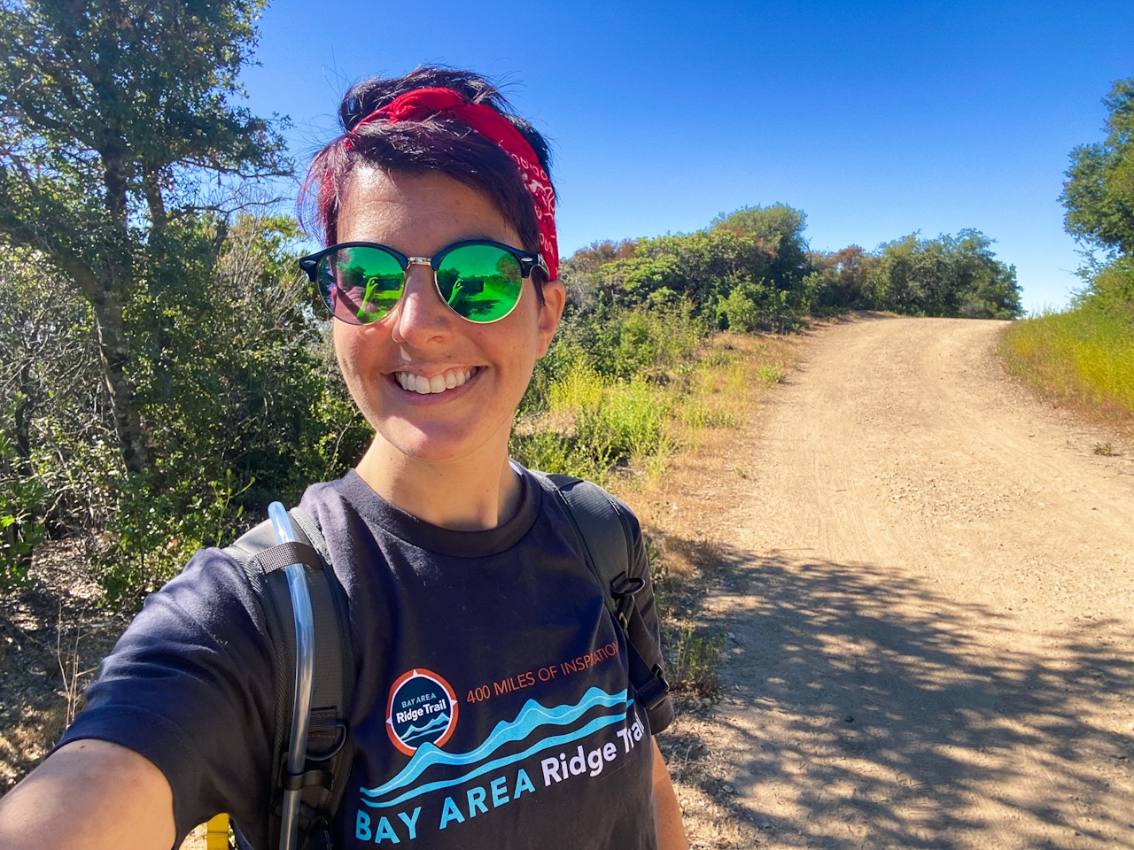
BONUS: Do the 2022 Ridge Trail Challenge and you might get a grand prize!

The Montevina Rd. trailhead can be found at the dead-end of Montevina Rd. in Los Gatos. From SR-17, take the Bear Creek Rd. exit, then continue straight onto Montevina Rd. After 4 miles, turn right into the small dirt parking lot. (Parking is limited.) Bicycles and leashed dogs are permitted on trails.

Story and photos by Heather Werner, @heath.er.wer.ner

Trending Stories NorCal

View all Stories
  1. Woman with her arms outstretched to the rolling hills scenery while on a rock outcrop at Barnabe Peak in Samuel P Taylor Sate Park in Marin

    Barnabe Bonanza

    Sure, there are higher mountains in Marin (Mount Tam) and easier ascents (Mount Burdell), but is there a more expansive North Bay view? Barnabe Peak in Samuel P. Taylor State Park offers a glorious panorama including Mount Tam, Mount Diablo, and Mount St. Helena.

    View
  2. Tamtastic Sunset

    Sure, the East Peak of Mount Tam is absolutely spectacular at sunset, but some magic-hour enthusiasts head to a nearby spot, Trojan Point, for a little more personal space in their panoramic viewings.

    View
  3. Hiker on the SCA trail in Marin Headlands with view of the Golden Gate Bridge

    Headlands Over Heels

    People come from all over the world to get a glimpse of the Golden Gate Bridge. Get a dramatic and novel view of the bridge without all the people on this moderate 6-mile hike in the Marin Headlands.

    View

Trending Stories SoCal

View all Stories
  1. Lagoon Swoon

    We all love an underdog story, especially in the shadow of the greats. Enter a truly SoCal coastal version: Malibu Lagoon State Beach. Though situated next to Surfrider Beach, a fa

    View
  2. Woman hiking the San Onofre Bluffs Loop Trail to San Onofre State Beach in San Diego County

    Bluffing Good!

    Lovely coastline, beautiful beaches, unique geological history, and picturesque sandstone cliffs with limited foot traffic in San Diego County? Head to San Onofre State Beach and the 5-mile San Onofre Bluffs Loop Trail.

    View
  3. Can We Get a Whoop Whoop!

    City, mountain, and ocean views all in one hike? Whoop whoop! It’s no surprise the the Kenter Fire Road and Whoop-de-Doos Trail (a combo of fire road and singletrack) is a favorite among local mountain bikers and hikers alike.

    View